The Caldera
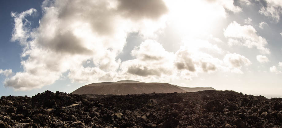
As we circled around the south end of caldereta's base, we caught sight of the barren Montañas del Fuego in the distance. The volcanic complex of Pico Partido-Montaña Señalo (
Geosite LZ26) was the most notable of all the structures, as the white-lined lava channel

that was created when pressure built up and broke through the side of its lake could clearly be seen. The massive structure of Caldera Blanca also appeared in front of us and gradually swung around to our left as we progressed around the base.
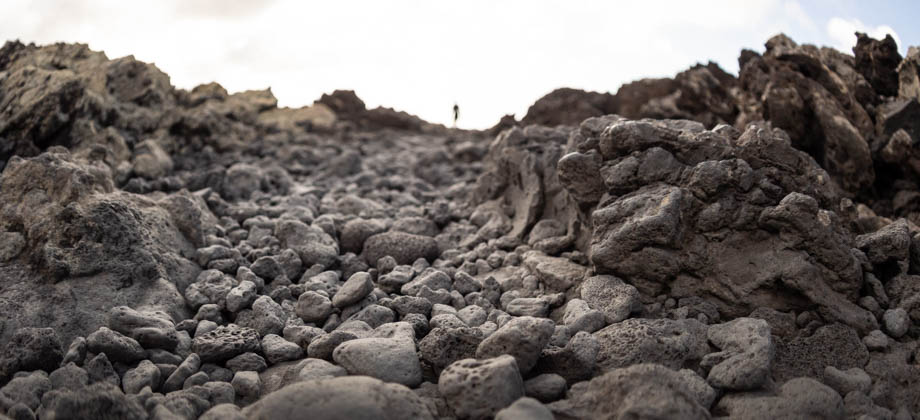
There were colossal blocks and boulders of ejected pyroclasts that were heaped on top and around one another haphazardly just to the right of the path. This was where the huge sea of lava was funneled through the narrow opening between the two calderas, and imagining the immense forces that could move such masses so easily left me a feeling a little exhilarated. The path gradually began to leave the base and make its way up the slopes, just before swinging around to the entrance of the caldereta--an entrance that its larger sibling does not have. We rejoined the main path soon after and followed the trail that we would have taken earlier had we instead continued straight from the junction.
We continued to walk westward and skimmed the northern base of Caldera Blanca. Huge gashes could be seen that cut through the whitish patina that covered the surface of the slopes. These gashes were formed by the flow of rainwater down the sides of the slopes, that at first began as small depressions, but that eventually grew to become large gullies--a process that is known as 'gully erosion'. After we circled the northern base of the caldera and reached the western side, we spotted the start of the caldera ascent
over to our left. This was where the actual climb began.
 Gully erosion can be seen on the slopes of Caldera Blanca
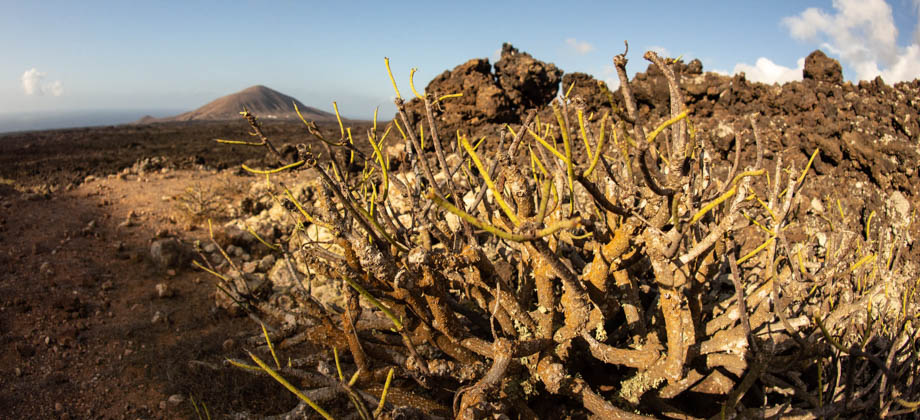
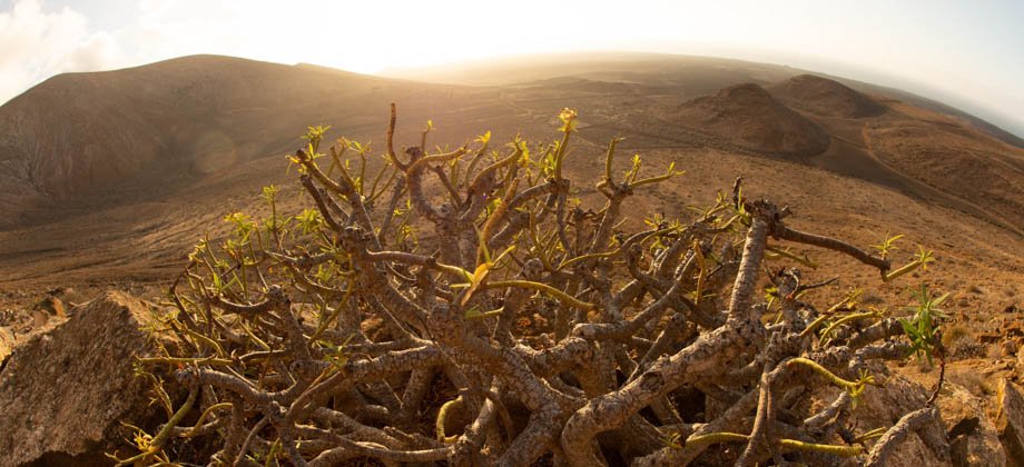
The path was narrow on the ascent but was in a channel of sorts that was fairly stable, so there was never a point where I felt unsafe. The terrain underfoot was also a lot more stable than the scoria of the lava field down below. It was quite dusty, however, and especially so when there were gusts of wind, so we used our buffs to cover our mouths as we ascended. There were a few plants that fringed the trail, both on the ascent as well as on the rim itself, that were mainly bushes of Mediterranean saltwort
(Salsola vermiculata) and milky spurge
(Euphorbia regis-jubae), as well as a few succulents scattered around here and there.
 Looking north-west with the slopes of Risco Quebrado on the left
We were heading almost directly south, and the sun had already began to set on our right just over the peak of Risco Quebrado
(
elevation : 312 m), the third sibling of the trio of calderas. Risco Quebrado (
English: Broken Crag) seemed more like a mound than an actual caldera, as a huge section of it had disappeared (hence the name) either during its formation or through erosive processes. As we continued to ascend, we saw more of the Atlantic Ocean in the background on our right, and more of the inner caldera revealed itself below us on our left. We soon came upon a part of the trail that dropped down to a col before ascending to the peak of Risco Quebrado. We considered taking that trail at first (as can be seen in the GPX track), but due to the time constraints, thought better of it and continued to round the rim of Caldera Blanca instead.
 The sun setting behind the peak of Risco Quebrado
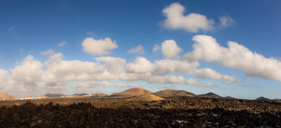
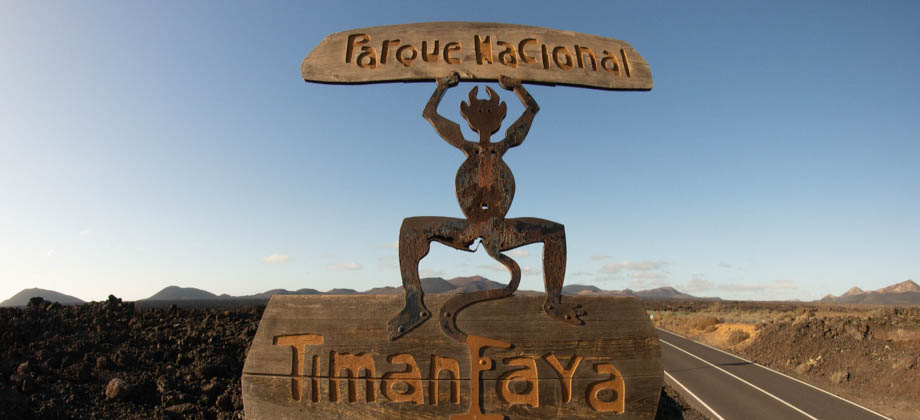
The view of
Timanfaya National Park and the Montañas del Fuego over the vast sea of volcanic lava was absolutely spectacular. It became a little hard to appreciate the views, however, as the gusts of wind were so ferocious that they would almost knock us off our feet. Unlike some
other calderas that I had hiked on before, the ridge of Caldera Blanca had been rounded by erosion over the many years, and was left fairly wide. This allowed us to duck over to the inner side of the caldera for some shelter each and every time the wind became too much to handle. From there, we were able to see the effects of gully erosion within the caldera, where countless water channels had carved deep gullies that looked like gashes across the surface. It was also very evident that water had been channeled towards the middle, as the vegetation there was a lot more abundant.
 Looking north-east from the peak of Caldera Blanca: the Atlantic Ocean can be seen in
the background on the left, Montaña de Teneza is in the centre, whilst Montaña Tinache
(Geosite LZ18) can be seen on the right with clusters of white houses at its base.
The mountains to the right of Montaña Tinache are El Peñón and Montaña Tamia

There was no defined path on the areas of the caldera that were rocky, but this was not an issue as the ridge was easy enough to follow. There was also a pole that marked the peak a little further along. We continued to round the edge, getting closer and closer to the caldereta, but just as we were passing it (approximately 8.2 kilometre mark), we had to make a dramatic u-turn to follow the trail that began the descent down the slope on the outer side of the caldera. The descent continued in a south-easterly direction until it reached the base. From there, we veered left and made our way northwards past several structures before reaching the main trail once again.