Username:

Password:

Forgot Password? / Help

Temperate Deciduous Forests

0

Killary Fjord

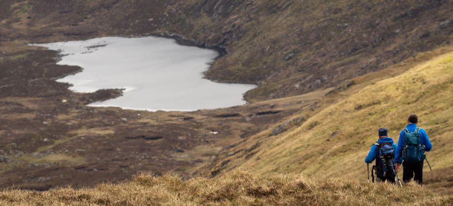
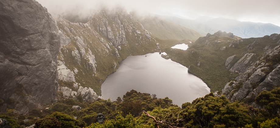
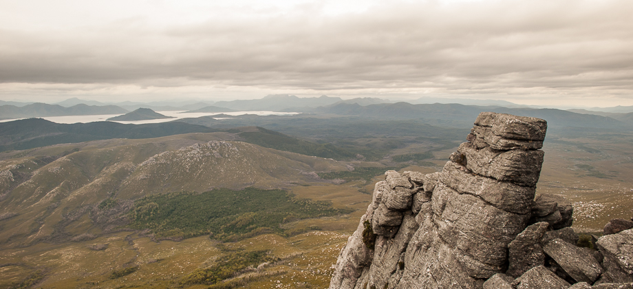
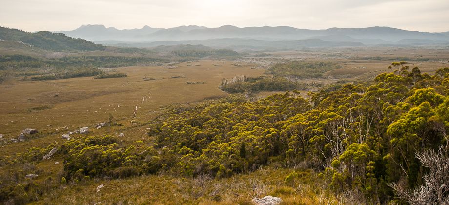
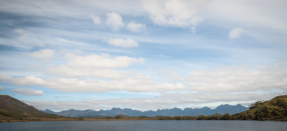
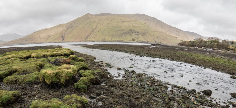
Killary Harbour (Irish: An Caoláire Rua) is a fjord that is located in Western Ireland. This 16-km-long flooded valley acts as a natural border between the Gaeltacht (Irish-speaking region) counties of Galway to the south, and Mayo to the north. Connacht’s highest mountain, Mweelrea (elevation : 814m) rises imposingly on the northern side of Killary Harbour, whereas the mountain ranges of the Twelve Bens and
Read more
0

Lugnaquilla

Lugnaquilla is located in the Wicklow Mountains, and is the highest mountain in Ireland outside of County Kerry. Standing 925 metres-high with a prominence of 849 metres, Lugnaquilla qualifies as a furth and is the 63rd highest mountain (with a prominence of at least 600 m) in the islands of Ireland and Great Britain, sitting just one place ahead of Galtymore. Lugnaquilla is also known as the 'Lug', but despite the name
Read more
2

Galtee Loop

The Galtees are the highest inland mountain range in Ireland, and can be seen from afar as you travel between Cork and Dublin. The range seems to suddenly rise up from the surrounding plains, from almost sea level to just over 900-metres high. The highest mountain is Galtymore (elevation : 919 m), which is Ireland's 14th highest, and just manages to make the list of 'furths'. The hike up to the Galtees will
Read more
0

Western Arthur Range Campsites

The campsites that can be found in and along the Western Arthur Range tend to be fairly limited in their size and maximum capacity. Despite this, hikers are still encouraged to restrict their camping to only the designated campsites in order to limit the impact to the environment and to prevent the formation of other new sites. The campsites can be divided into two general categories - those that have been hardened
Read more


0

Western Arthurs Day 11 : Back To Scott’s Peak Dam

We left fairly early that morning, our spirit dampened by the rain. We came upon multiple river crossings every couple of hundred metres until at least the first two kilometres of the trail, before finding ourselves plunging into a complex forest-maze of sorts. The entire area was just a huge tangle of branches, roots, and vines, that completely engulfed the faint path that lead Westwards. As we emerged from the forest
Read more


0

Western Arthurs Day 10 : To Wullyawa Creek

Today was going to be a long day. We had 20 kilometres to cover, a distance that was definitely manageable, but was considered long compared to the average daily distances that we had covered over the previous week. I was already a little weary by then but the fact that the walk was mainly downhill made me feel a lot better about the task up ahead. We started off early and after packing up camp, we made our way
Read more
Pages:123