


October 25, 2018
Posted by ramon in Broadleaf Rainforests, Class 6, Forests, Guided Hike, Hiking, IUCN Protected Category 2, Malaysia, Montane Savannas & Grasslands, Mountains, Multiday Hike, National Parks, Peak Labels, Sabah, Tropical Rainforest, UNESCO
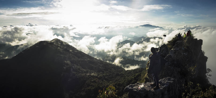
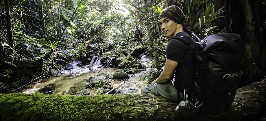
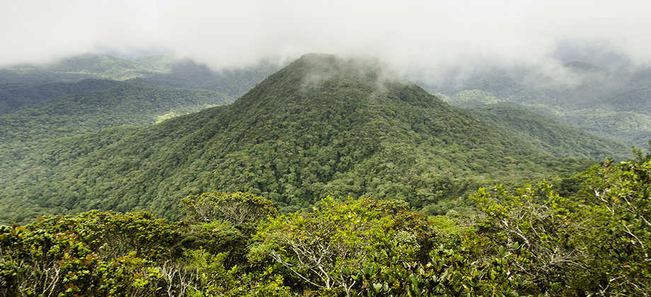
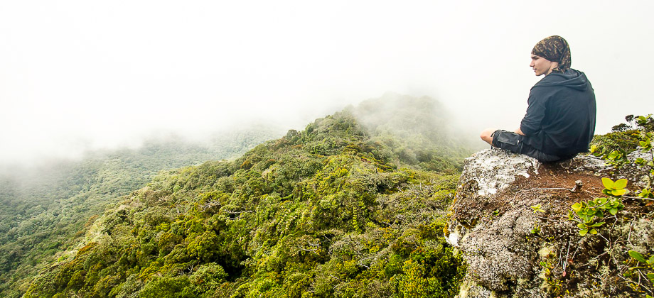
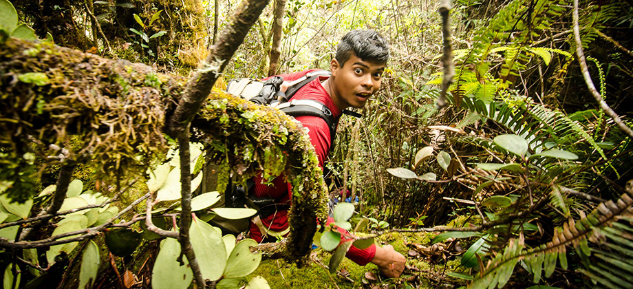
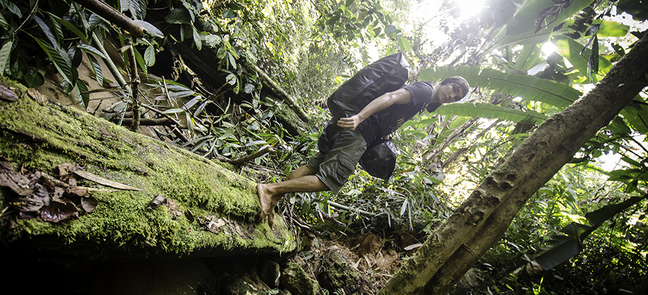
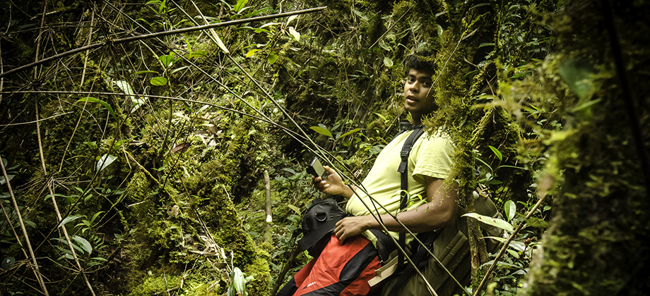
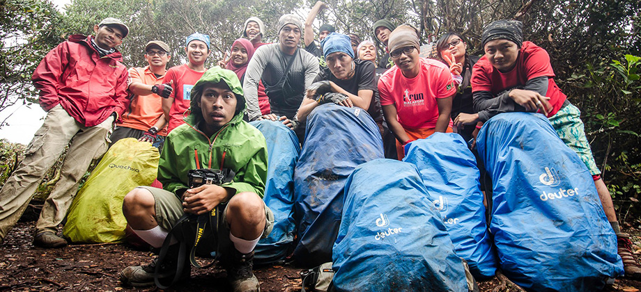
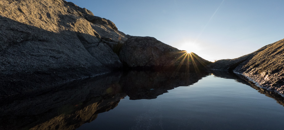
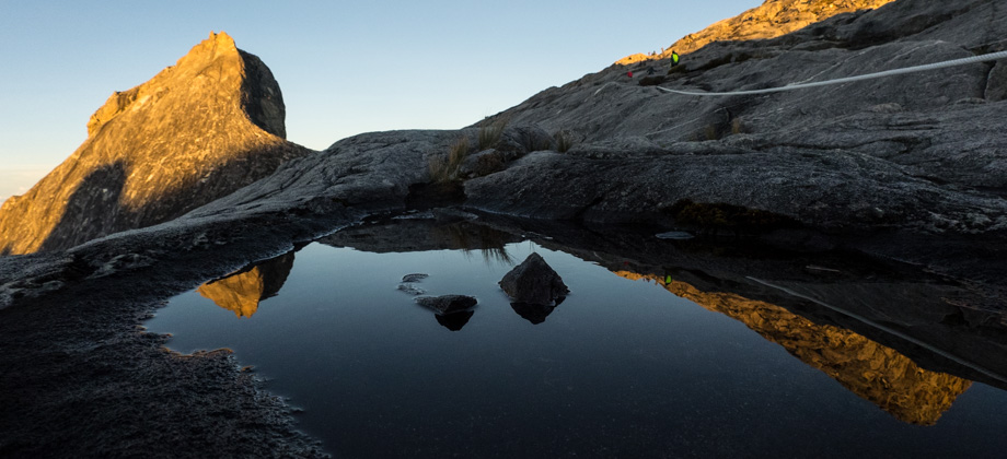
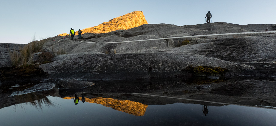
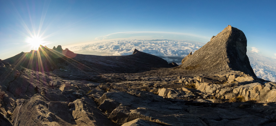
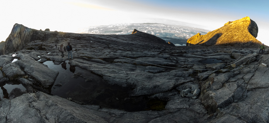
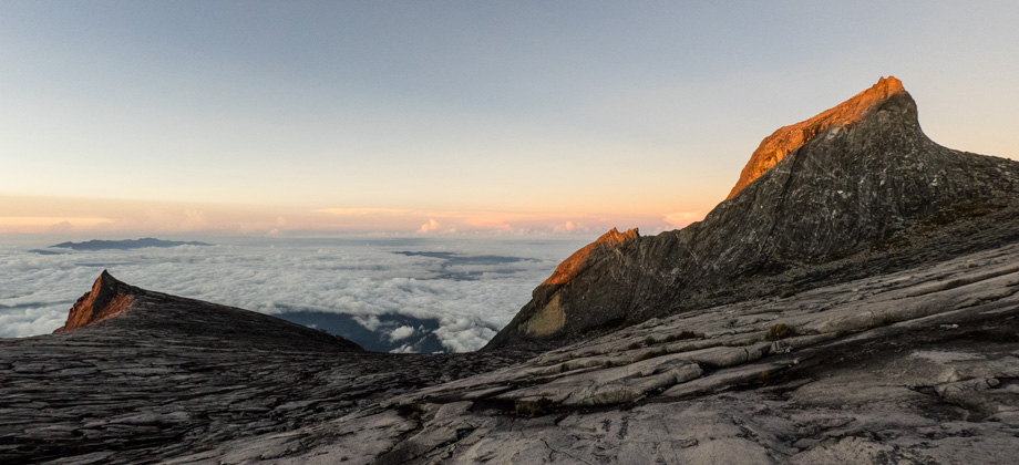
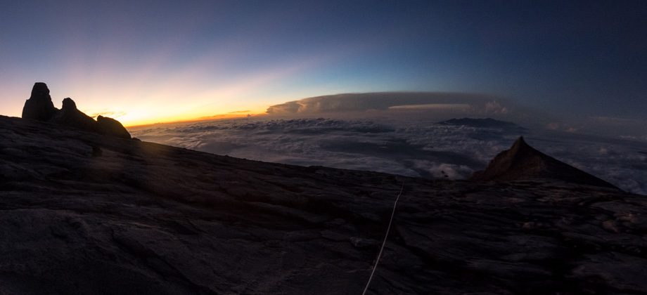
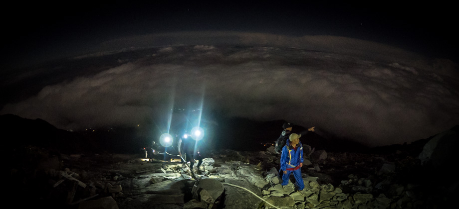
Mount Kinabalu
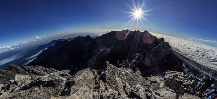
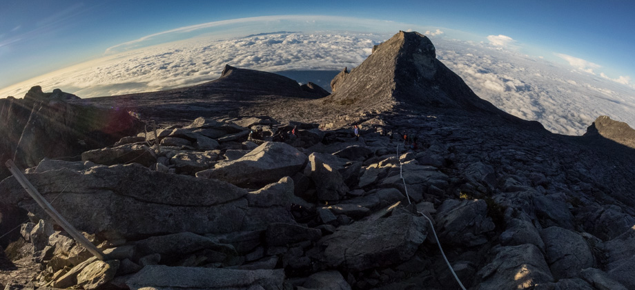
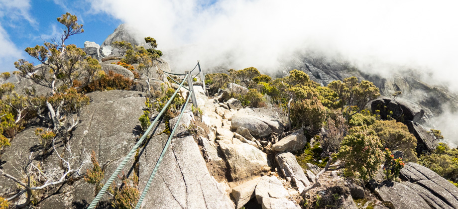
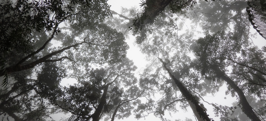
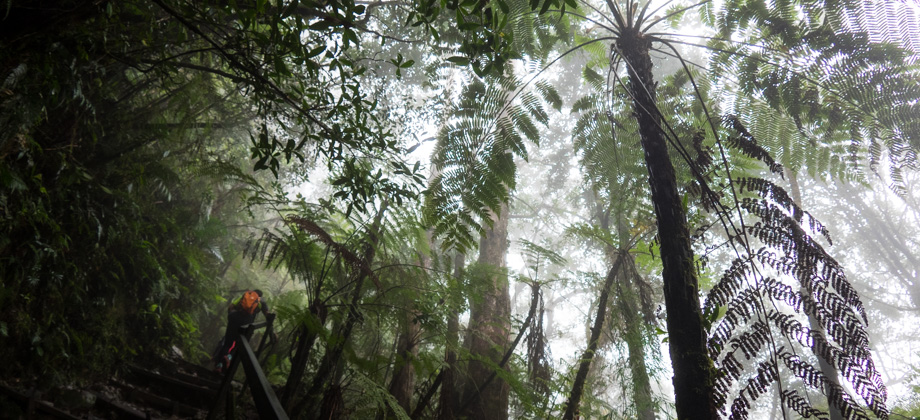
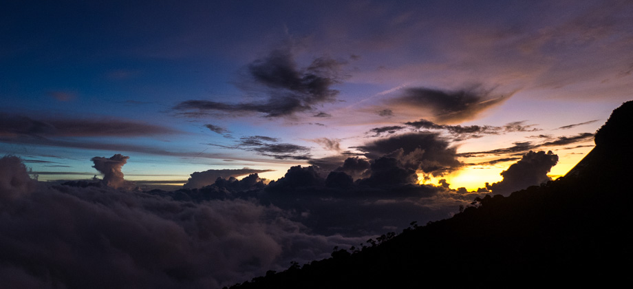
Mount Kinabalu (elevation : 4095 m) is the highest mountain in Malaysia (both by prominence as well as sheer elevation), and is also the highest mountain between the Himalayas and the island of New Guinea. Based on topographic prominence, Mount Kinabalu also happens to be the 20th highest mountain in the world, but only the second highest mountain in South-East Asia behind Puncak Jaya (elevation : 4884 m)
Read more