November 20, 2018
Posted by ramon in Broadleaf Rainforests, Class 1, Day Hike, Hiking, IUCN Protected Category 2, Malaysia, Selangor, Tropical Rainforest, Waterfalls
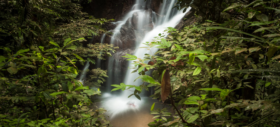
Pisang Waterfall
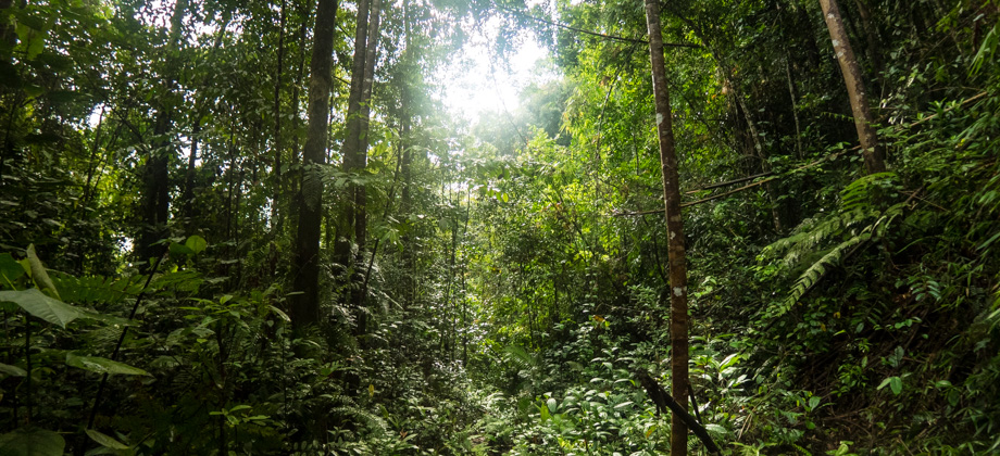
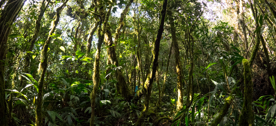
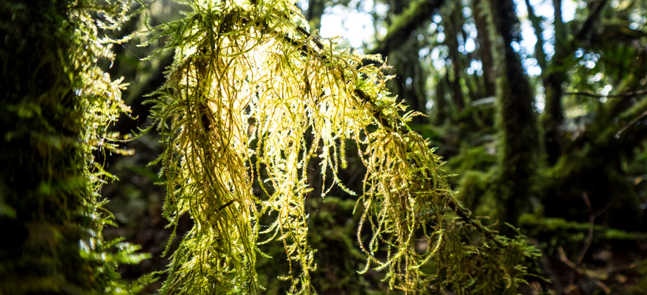
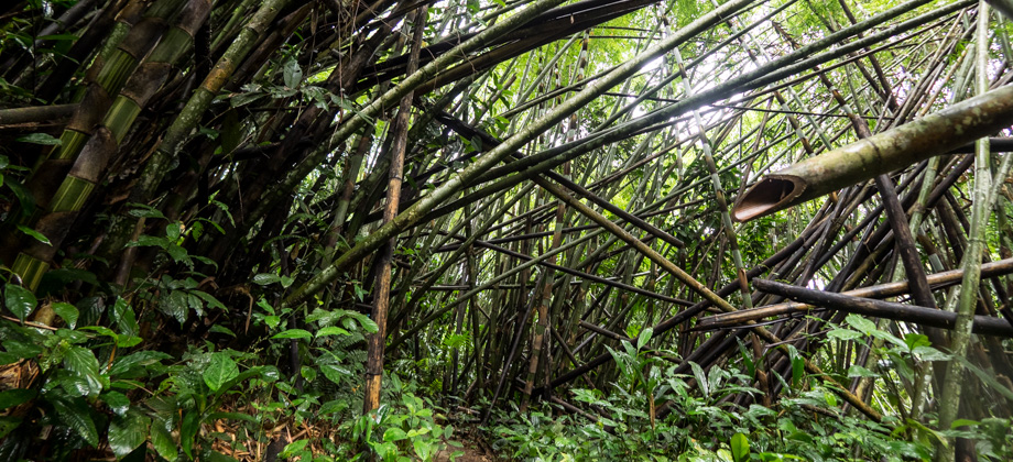
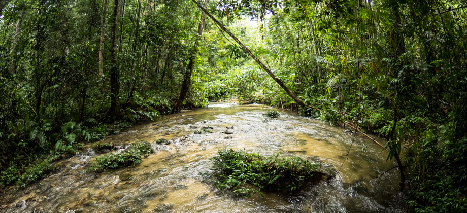
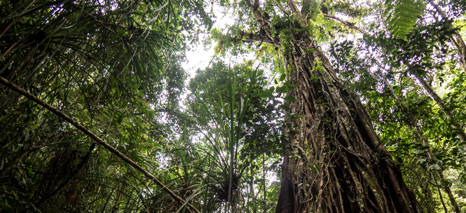
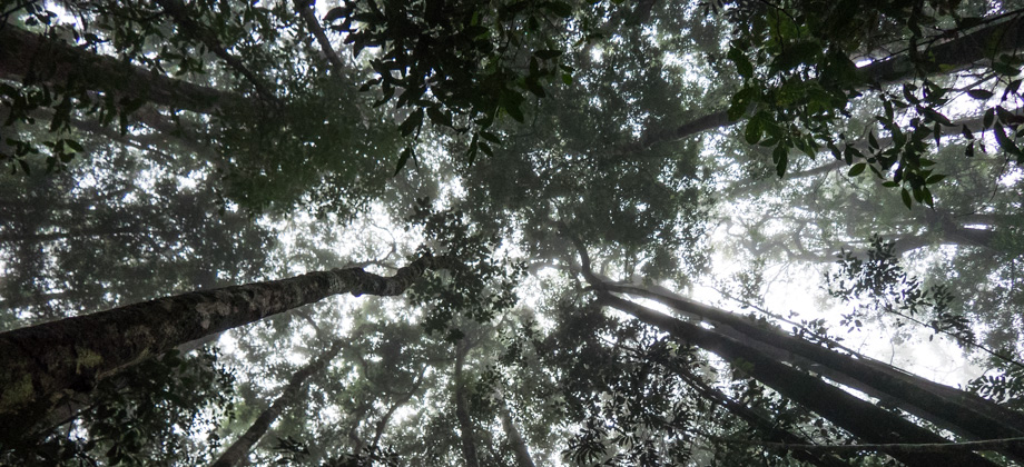
The hike to Pisang waterfall is a quick and easy excursion that is not too far from the centre of Kuala Lumpur. The hike follows the Pisang river and as a result, has almost no elevation gain. This makes it perfect for beginner hikers or just for those who are looking for an easy weekend getaway. Its accessibility does unfortunately mean that the number of people that are likely to be encountered will be higher than
Read more