Blue Skies

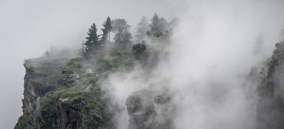
The mist that had shrouded the views the
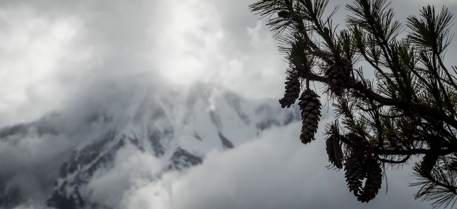
day before had lifted and had left the skies bright and clear that morning. Low clouds still lingered over the lower slopes however, and the added contrast brought out the silhouettes of pine trees
(Pinus sp.) way off in the distance. We peered at the distant trees from out of the windows as we ate a pancake with honey (
NPR180/2) for breakfast. Before we climbed back onto the road and left Thanchok

(
elevation : 2660 m), we cut up some Tibetan bread (
NPR220/2) into strips and packed it away for lunch later on.

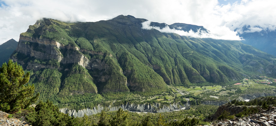
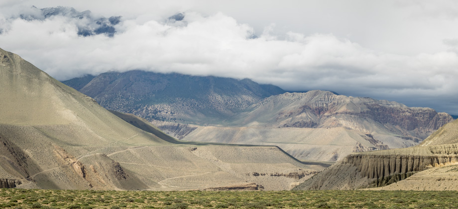
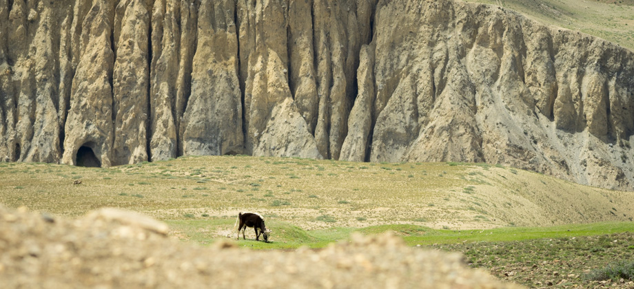
It was already the fifth day but the sun was out for the very first time. I could see my shadow stretching out in front of me as I walked and the deep blue sky could be seen between the gaps in the clouds. There was a fairly prominent light brown pyramid-shaped peak to the west, but when I asked the locals for its name, all I received were chortles. They said that it was unremarkable and had no name, and that in Nepal, if there was no snow on the peak it would just be considered a hill. Nevertheless, the views of the mountains (or rather, the hills) were magnificent, and this was our first chance where we could really appreciate the views. The hills themselves were comprised of dark and light brown streaks that were interspersed with pine trees, and their ridges traced a sharp outline across the blue sky. We were also alone on the trail and did not see other trekkers for many hours. As such, things were very quiet and we were able to appreciate the wildlife a lot more: the constant melodic birdsong, Himalayan pikas
(Ochotona roylei) occasionally scampering across the path, as well as insects in abundance.
 Looking west over the hamlet of Thanchok
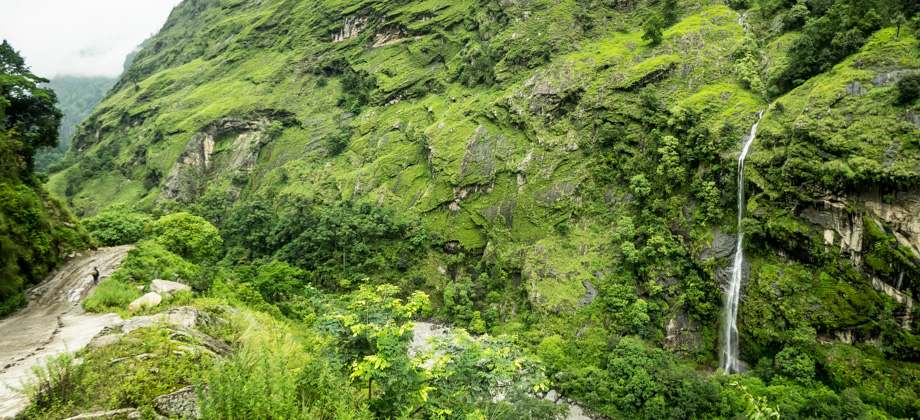
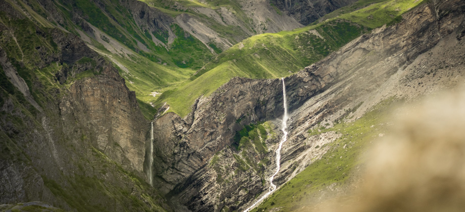
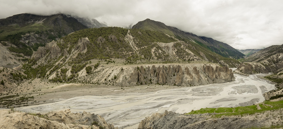
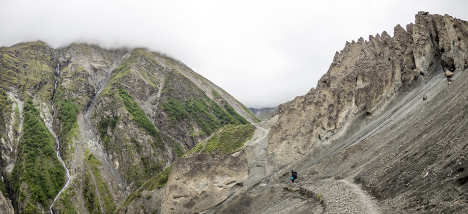
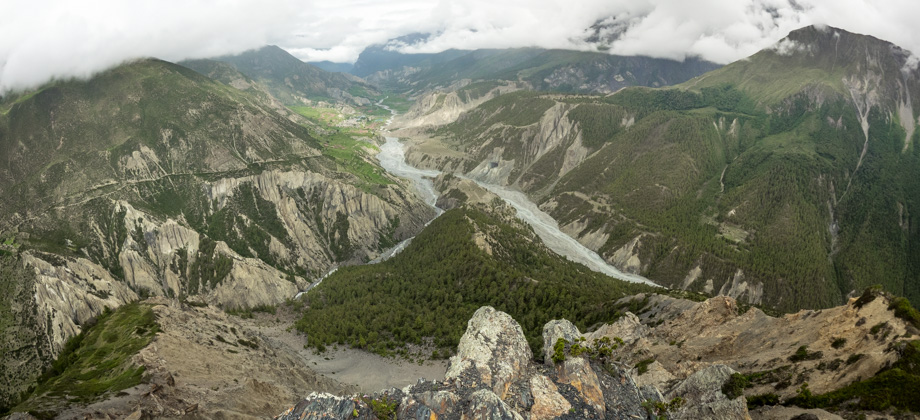
As we followed the cobbled road that led to a bridge and crossed over a waterfall, the hamlet of Koto
(
elevation : 2600 m) appeared down the valley. The TIMS checkpoint was located here, as was the turn-off for the Nar Phu trek which veered northward up the Nar Khola valley. After getting our TIMS and ACAP permits checked, one of the tourist police officers escorted us westward along the road. At first I had thought that he had just wanted to make sure that we were not trying to sneak up the Nar Khola valley, as an expensive permit was required for the Nar Phu trek; but when we passed all the Mahindra Bolero vehicles that lined the road, I knew that a landslide lay just ahead. The officer brought us to a trailhead on the left of the road, where lines of porters emerged as they scurried up and down the trail with bags that were to be picked up by vehicles on the other side. The trail was very narrow and, judging by the fresh plant damage, had been very recently opened up. After circumventing the landslide, the trail rejoined the road once again just before the large village of Chame
(
elevation : 2670 m).
 Himalayan pokeberry (Phytolacca acinosa) (on the right)
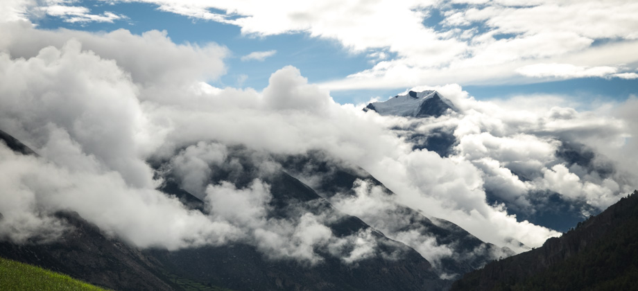
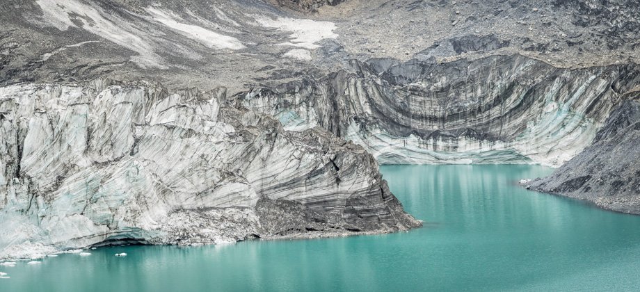
 Snow-capped mountains were occasionally glimpsed through the low cloud-cover