


October 7, 2018
Posted by Ramon Fadli in Broadleaf Rainforests, Camping, Forests, Hiking, Kelantan, Malaysia, Perak, Tropical Rainforest
GBB (CUS Connection) - Day 2
Huhuhu
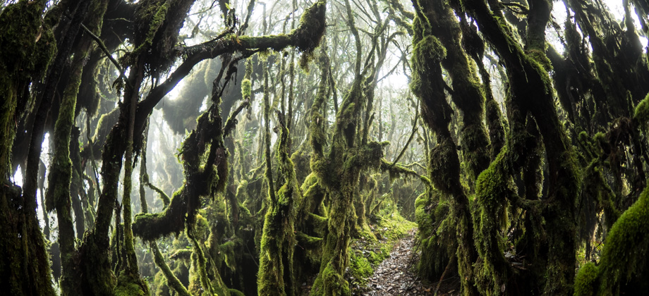
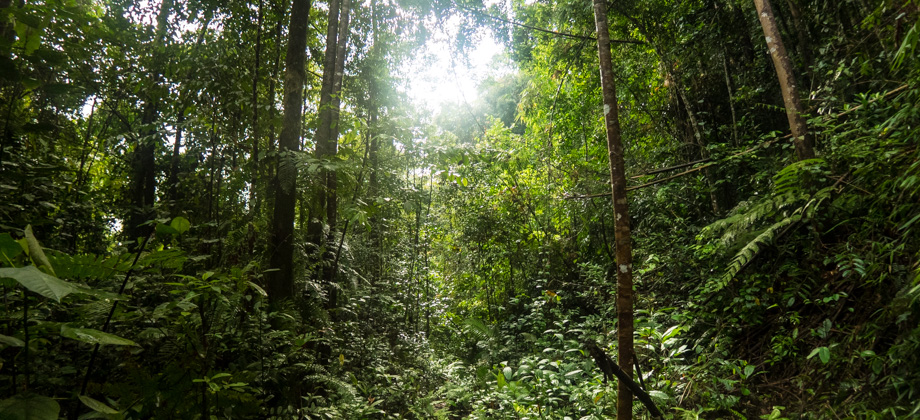
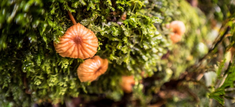
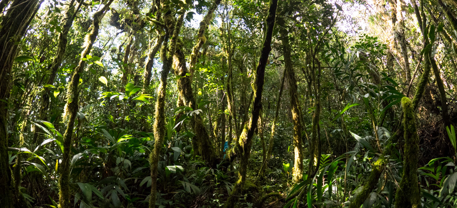
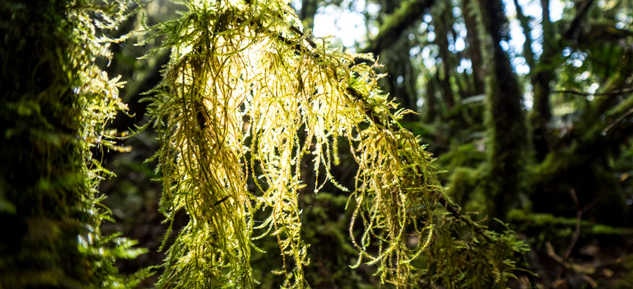
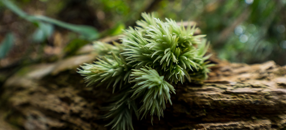
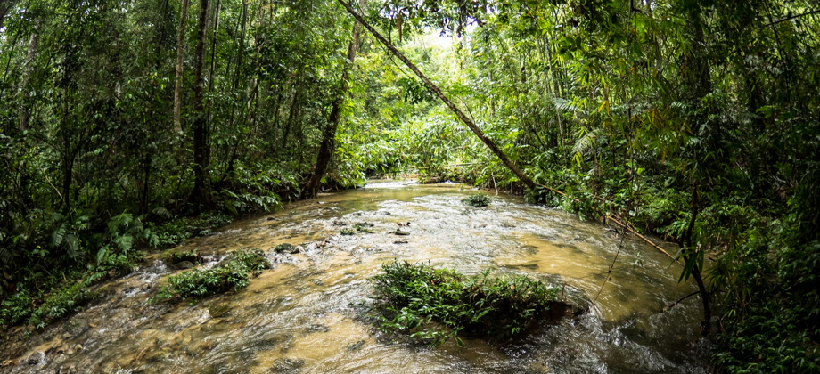
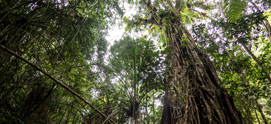
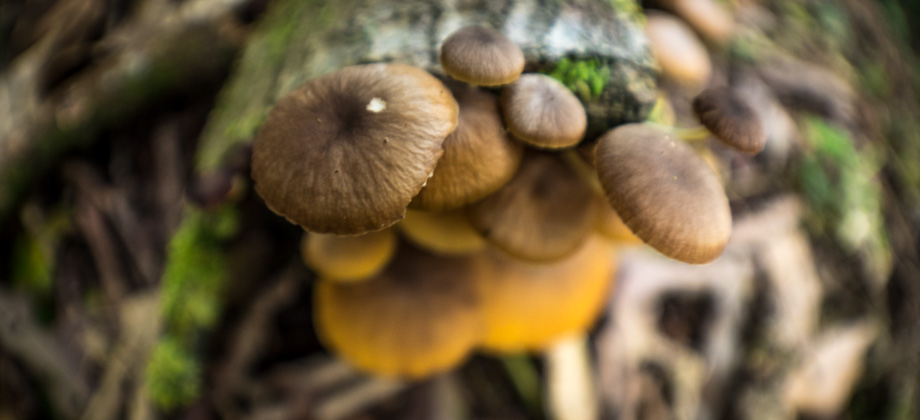
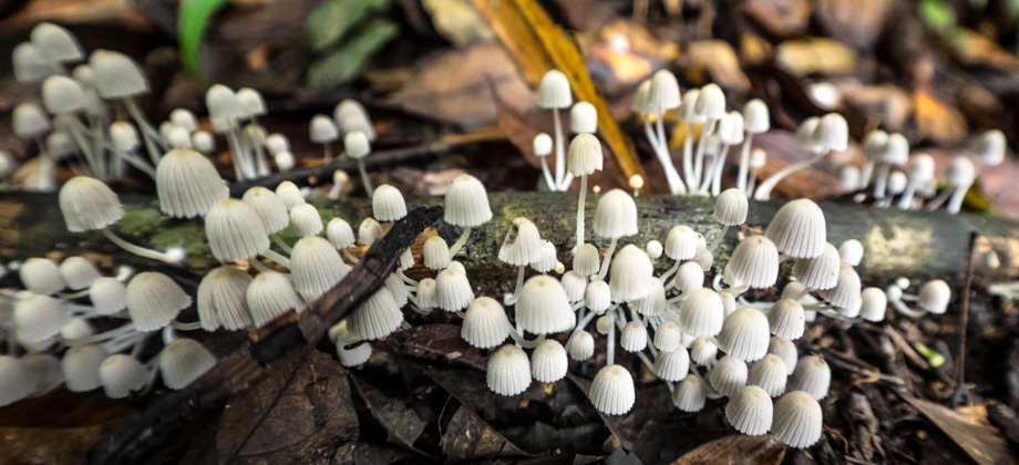
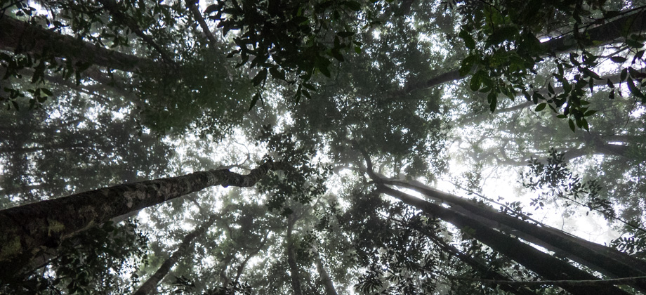
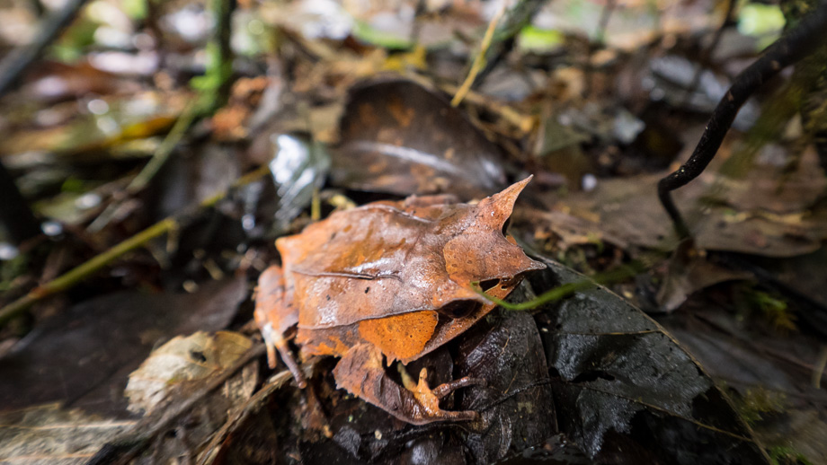
There were plenty of river crossings as we ascended all the way to 'Checkpoint Tin', approximately 6.4 km in. By then the rain had stopped and a heavy mist had wafted down from above. The pace slowed considerably as we stumbled over and around a multitude of moss-covered tree trunks that blocked the trail. Harvestmen (Order: Opiliones) could occasionally be seen scuttling about and sandflies (Subfamily : Phlebotominae) were plentiful here, their presence becoming all the more noticeable each and every time we slowed down. We then entered a part of the forest where the canopy was quite dense and the sunlight struggled to penetrate through. Our surroundings were quite overgrown and the light seemed to diminish around us. Loose swarms of mosquitoes (Family : Culicidae) hovered around us which kept us moving forward. Shortly after, we spotted a camouflaged ambush predator hiding amongst a pile of dead leaves--a Malayan horned frog (Megophrys nasuta) (Malay : Katak bertanduk). This frog lives in damp and cool submontane rainforests where leaf litter is rife, and uses its triangular skin projections and skin tone to blend into the leaves. I waited for a while to hear its call, since they tend to call in the late afternoon or when it rains, but the frog sat there silently and just stared at me.

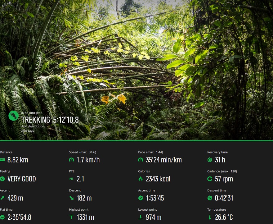
Route Playback

")
 - Day 1")
 - Day 3")
 - Day 5")