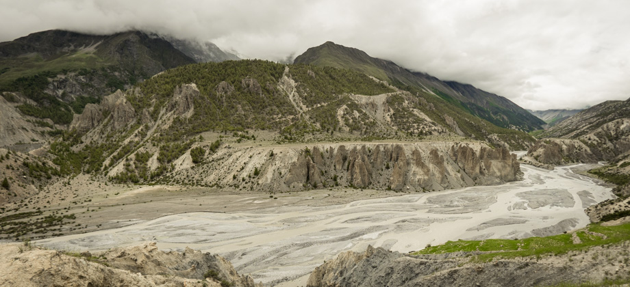
Eroded Badlands
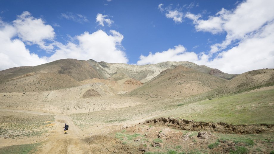
As the trail rounded the hill, we had our final look back to the
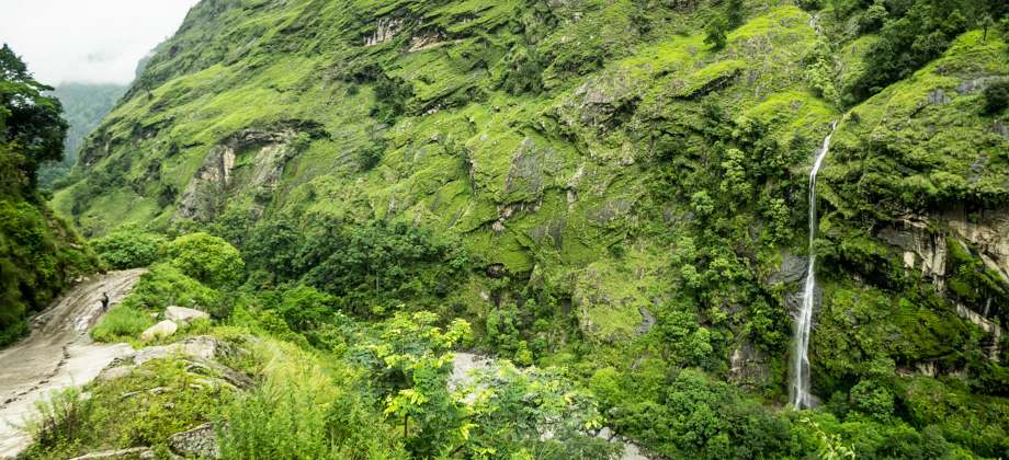
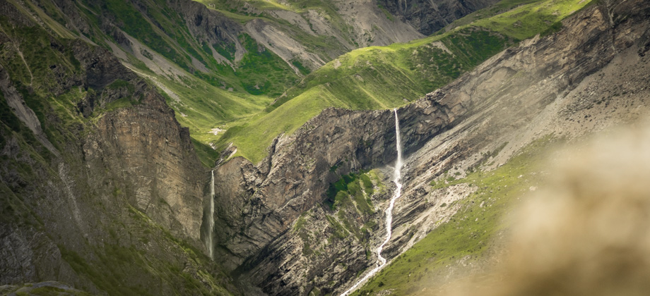
pass that we had crossed just the day before, but alas, all the peaks behind us were completely obscured by the clouds. The lush green carpets that had surrounded us had ended by then and everything up ahead of us was brown and arid. Approximately 5 kilometres in, the trail switch-backed down the hill twice, and we made our way towards another suspension bridge that crossed a deep ravine. There were quite a number of strange rocks along the way, that were composed of vibrant red and orange folds and were oddly-shaped with angular, hexagonal extrusions. We could also hear clicks from all around us, at least one or two every couple of minutes, and only realised after a while that they came from the band-wing grasshoppers
(Trimerotropis sp.) that took flight. These 'snapping' clicks occur due to a process that is known as 'crepitation', and happens when the wing membranes between the wing veins are suddenly snapped taut.
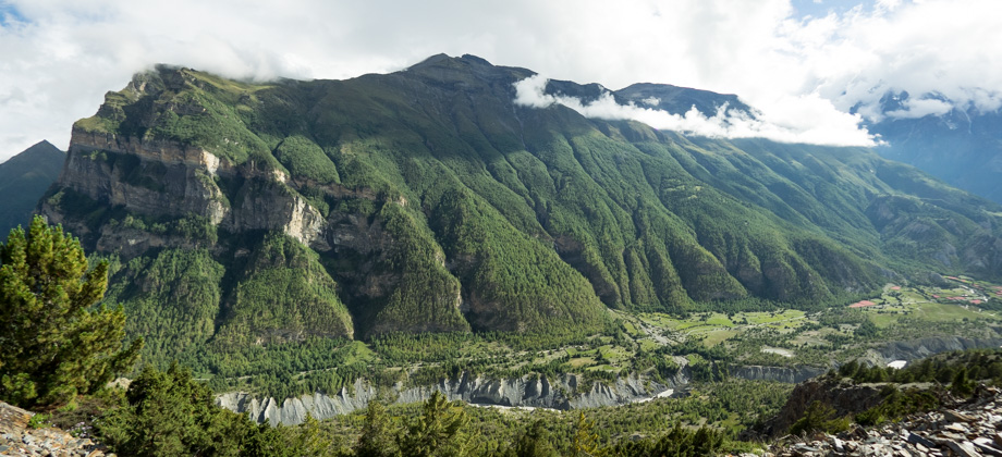
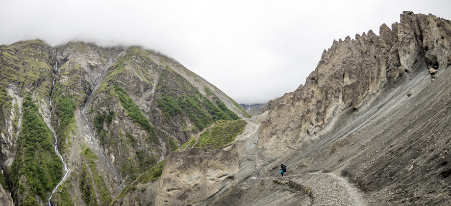
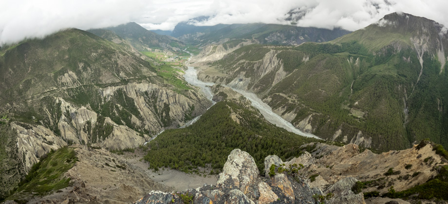
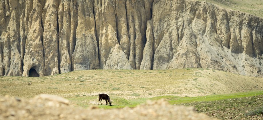
 The landscape of Mustang. Ongoing active gullying of the cliffson the right produce badland ridges and chimney-like structures.Hover your cursor over the image to take a closer look.
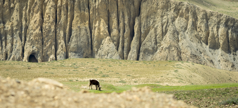
 A grazing cow (Bos taurus) with eroded badlands in the background
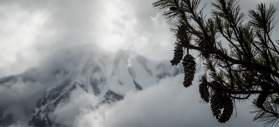
Our senses were already inundated with the constant clicking of the grasshoppers all around us, the gorgeous views of the valley up ahead, and the occasional glimpses of Dhaulagiri (
elevation : 8172 m)--the highest mountain within the borders of a single country, and the 7th highest mountain in the world. As the road made its way over a hill and dipped down the other side, we suddenly encountered the famous diurnal Kali Gandaki wind. The blasts of wind were so ferocious that huge amounts of dust and sand were kicked up and we were forced to keep our heads low and to don our buffs to protect our faces. These winds that gust up the valley during the day are so strong that wind-deformed trees can even be seen every now and then!
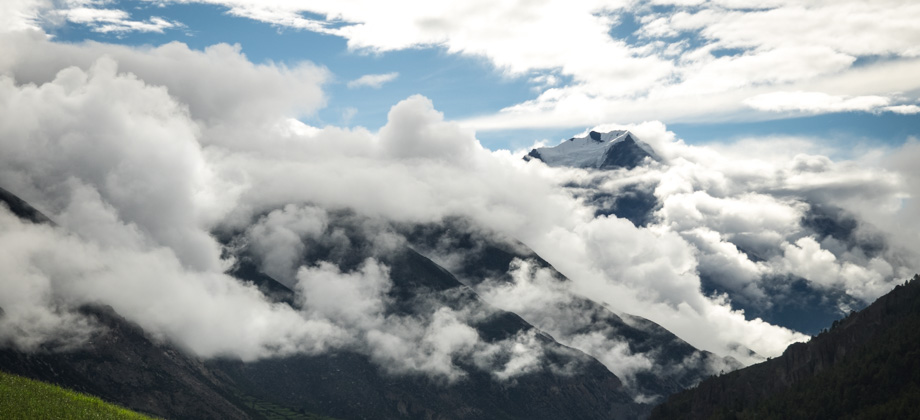
 The peak of Dhaulagiri (elevation : 8172 m) 'peeking' through the clouds
As we passed the hills to our left, the road dipped down momentarily and we were presented with a little glimpse of the village of Tiri (
elevation : 2800 m)

. The views were quite pleasant, so we decided to stop for a while to cook lunch. As we sat on the boulders eating our meal, we caught sight of ribbed-like patterns on some of the rocks directly beneath our feet. They turned out to be 'shaligrams fossils', which are the fossilised remains of the now extinct ammonites
(Subclass: Ammonoidea), and are all that is left of an ancient sea that used to be here hundreds of millions of years ago.
We set off soon after, but from then on, had our eyes completely glued to the ground instead of gazing enchantingly at the gorgeous views around us...
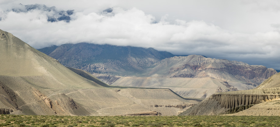
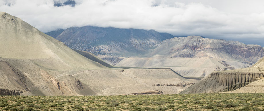
 The long road to Kagbeni