To Manang

I woke up around 02:00 that morning to try and capture a shot of the Milky Way, but the heavy mist foiled my plans once again. All that could be seen were bats that flitted around overhead as they chased moths that had been drawn by the lights of the guesthouse. It was still misty when I stepped back out of the room and into the courtyard five hours later, and almost everything was obscured in a white-out. We had breakfast, which was apple pancake (
NPR350/2) and Tibetan bread (
NPR300/2) to take-away, and were pleasantly surprised to see that the mist had lifted by the time we were packed and ready to leave the guesthouse.
We turned left at the first red marker that led into the main part of Ngawal

(
elevation : 3660 m) instead of going straight ahead towards the stupa and the start of the ridge climb. The route took us through a hidden part of the hamlet that we had previously been quite unaware of. Guesthouses lined the alleyways and people were out to perform their morning 'puja'; what had looked abandoned from afar was actually very much alive. We eventually reached the large tree that was located in the middle of the hamlet where immediately up ahead lay the start of the
ridge climb. We instead turned left here to exit the hamlet.
 Morning glory (Ipomoea sp.)
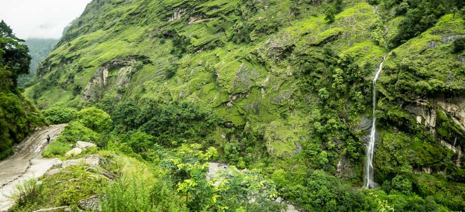
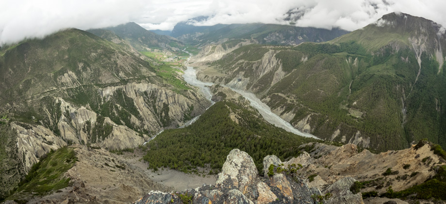
The road diverged after the exit, with the right branch heading up and the left branch dipping down and going around a small hill. We decided to take the latter as it was a shorter route and we needed the extra time as we had intended to visit the Ice Lake, or Kicho Tal, later on that day. The road continued on past a stupa and a mani wall, and traced the sides of the hill as it curved around to the right. Down below and to our left lay a stream and across from it was a pine forest, and on our right were sparse bushes that dotted the slopes of the hill. We reached a junction soon after, with the left branch descending down to Humde. We took the right branch that continued on to Manang and followed the road as it switch-backed down the slopes. An attempt was made here to look for a way to bypass the switchbacks, but the only things that we encountered were crumbly terrain and views of the pine forest below. As such, we were forced to make our way down the (very new) series of switchbacks, their presence having erased all signs of the old walking trail.
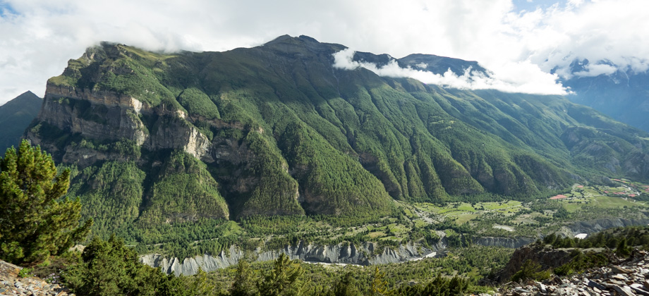
A huge brown crag that was pockmarked with fissures lay straight ahead of us and the sight of it made me yearn to go
rock climbing. We passed Humde
(
elevation : 3280 m) and its incongruous airstrip on the other side of the valley shortly after. The brown barren spurs, that were topped by lush pine forests and numerous waterfalls, emerged from the base of the mountain and could be seen snaking towards the airstrip like tentacles. We then crossed a bridge that spanned a fast-moving river and walked past another mani wall not too long after.
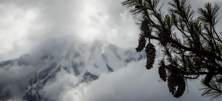
 Icicle-like sap dripping from pine cones; common thistle (Cirsium verutum)
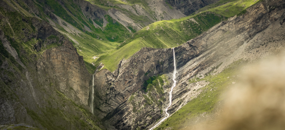
The road that made its way west was long, but there was an abundance of life all around. Dragonflies buzzed around and pikas
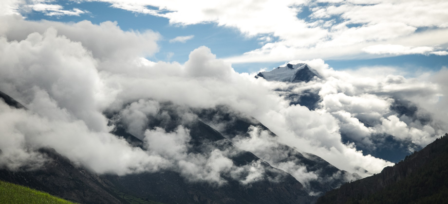
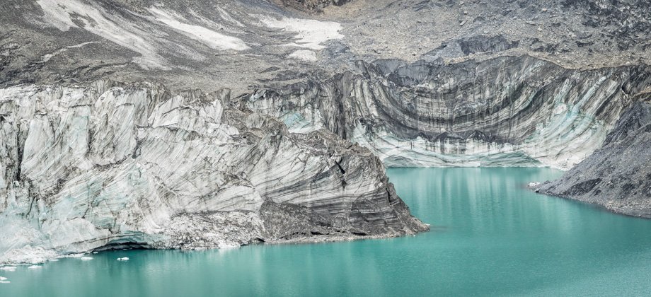
(Ochotona roylei) darted across from bush to bush. Vultures soared high above the cliffs to the right and all around us, transparent sap oozed imperceptibly slowly from the pine cones at the sides of the trail. The brown glacier that tumbled down the northern slopes of Annapurna III (
elevation : 7555 m) began to appear across the valley just up ahead, and the stupas that dotted the slopes up to Milarepa's Cave could be seen disappearing into the distance.
We reached the tiny hamlet of Mungji (
elevation : 3330 m), which is where the Upper and Lower Pisang trails merge, approximately six kilometres into the day's hike. The hamlet had several guesthouses as well as a bakery, and one of the trails that led up to the Ice Lake--that was apparently an entire hour less than the trail from Bhraka--began from here. Bhraka was the plan however, so we continued along the trail as it veered right and through fields of flowers. Blister beetles
(Hycleus spp.) completely covered most of the flowers here, and meadow blue butterflies
(Polyommatus sp.) flitted around from flower to flower looking for gaps.
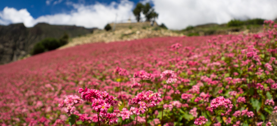
 Fields of buckwheat (Fagopyrum esculentum)
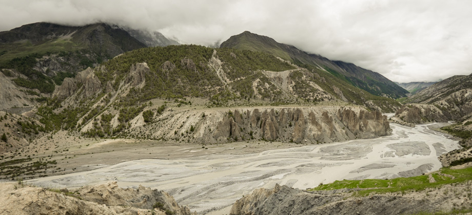
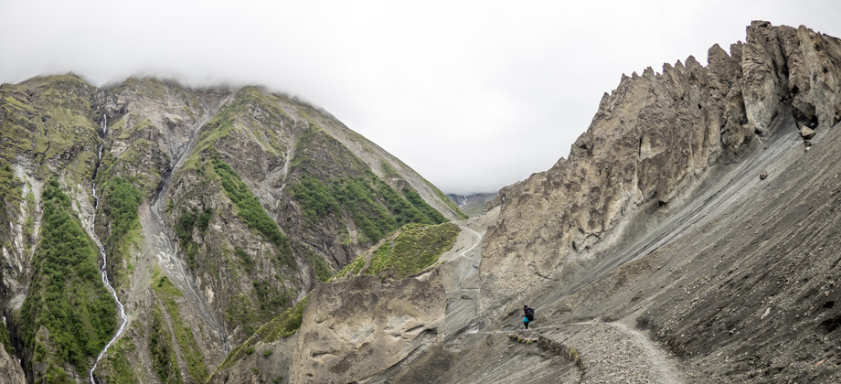
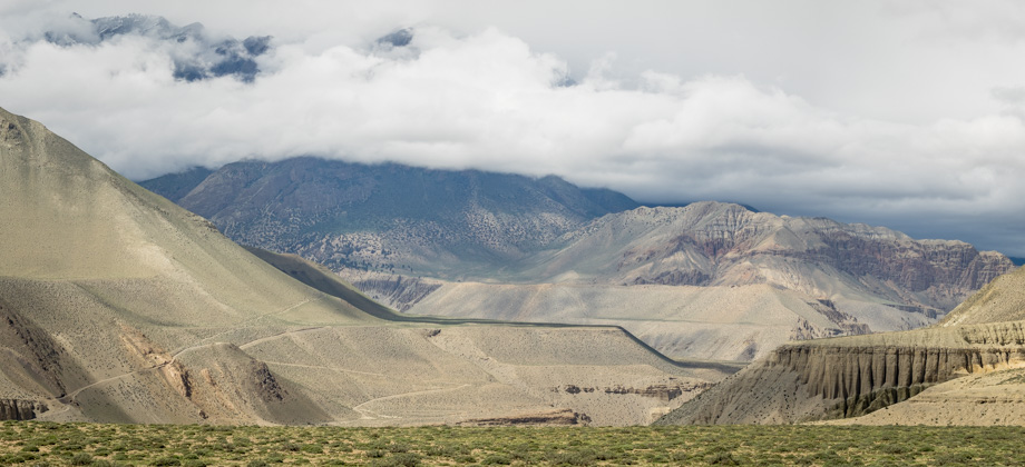
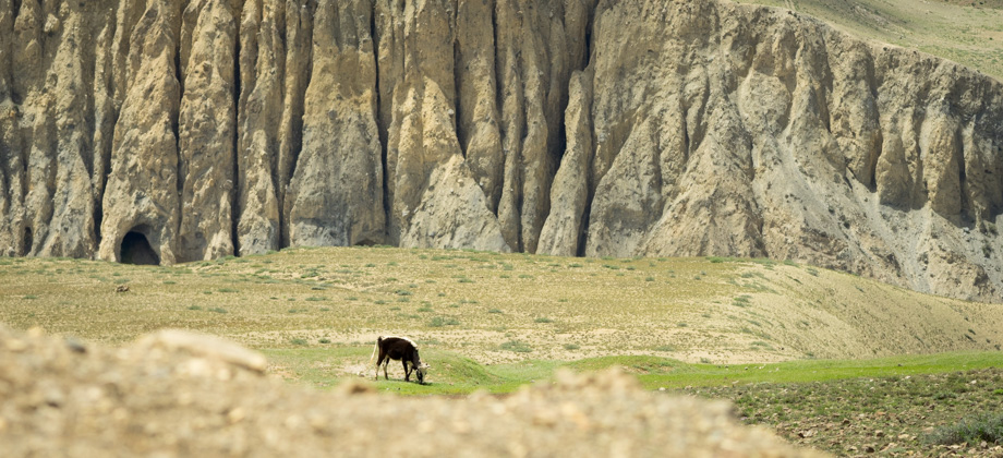
We came upon the hamlet of Bhraka (
elevation : 3360 m) not too long after. None of the guesthouses were open--most likely because of the hamlet's proximity to Manang--but most of the restaurants were. Our plan had been to drop our main packs in the room and to take our daypacks to the Ice Lake from there. But since that was no longer an option, we were forced to just proceed to Manang. The surroundings seemed to get more desolate and more arid from there, and groups of pockmarked brown caves began to appear on the cliffs to our left; flags adorned the top of the ridges, and strange misshapen spires erupted from the ground to our right. It was just after midday when we reached the sprawling town of Manang
(
elevation : 3540 m).
 A donkey (Equus africanus asinus) trotting through the town of Manang