Trains of yaks began to appear on the stone steps that lead up to the junction to the Kerok Gompa (monastery). Shortly after, I noticed signs that were propped up along the side of the path in an attempt to raise awareness about the overabundance of plastic waste and the need to decrease the consumption of single-use plastics. The signs not only mentioned the detrimental effects of plastic water bottles, but also contained information regarding
chortens and
mani stones. This was a great initiative as the environmental awareness in the hiking community is sorely lacking.
 The Thame Teng chorten
From here the trail continued south to Thame Teng and Thame (Nepali : थमे)

(
elevation : 3820 m) shortly after. Thame was a very scenic and fairly large town that was situated where the Bhote Kosi and Thame Khola valleys met. The sprawling town was filled with gompas and houses that were scattered around, with their respective plots demarcated by windy stone walls. The whole scene was made so much more alluring by the dense cloud-cover and the crepuscular rays that managed to find their way through. The area is the home of Apa Sherpa (nicknamed 'Super Sherpa'), a very well-known mountaineer who holds the record for the highest number of times to reach the summit of Mount Everest : 21; and is also the childhood home of Tenzing Norgay, who was one of the first to have climbed Mount Everest (
elevation : 8848 m) back in 1953.
The valley that Thame is cosily nestled in is surrounded by towering peaks. Heading west up the Thame Khola valley towards its head-wall will bring you to the Tyangbo glacier and the high-altitude pass of Tesi Labcha (
elevation : 5755 m) just after. The pass lies just under the trekking peak of Pachermo (
elevation : 6273 m) and crossing it will bring you to the Rolwaling Himal range on the other side. The southern wall of the Thame Khola valley, on the other hand, is made up of the Lumding Himal which consists of the peaks of Kongde Ri (
elevation : 6186 m), Tyangmoche (
elevation : 6500 m), and Paniyotapa (
elevation : 6696 m).
 Thame with the ridge that leads up to Kongde Ri (elevation : 6186 m) on the left
The Lumding Himal is what forces the Bhote Kosi river (and the trail) to swerve south-east and down the valley towards the town of
Namche Bazaar. The river descended into a canyon of sorts as it approached the next town, Thamo (Nepali : थमु)

(
elevation : 3480 m). Thamo was a nice little town, albeit a little too religious for my liking. The town had a big monastery up on the hill, whilst the rest of the town was basically made up of chortens, prayer tablets, and a water-powered prayer wheel. Monks and nuns were absolutely everywhere, with some walking up the path and not looking where they were going as they were just too engrossed in their prayer beads and their unabating mantras. Children started to prop up everywhere lower down the valley, and they all seemed to speak a little bit of English. Cries of “Namaste! Where are you going?”, “What is your name?”, and “You want to play football?” seemed to follow me as I continued on, surely a clear indicator to the other locals that a foreigner was approaching.
It became dark quite quickly as I was making my final approach to Namche Bazaar, and I was forced to take extra care whenever I took a step. Just before Namche, I came upon an area that looked like an army camp that had gone through a war. There were dug out pits scattered everywhere and the whole compound was completely surrounded by barbed wire. The moonlight and the fading colours of a quickly disappearing twilight also cast an eerie glow on the whole scene. I looked up at the almost full moon as I walked into Namche Bazaar (Nepali : नाम्चे बजार)

(
elevation : 3440 m), and recalled that it had been a new moon the last time I had stepped foot in the town, just short of two weeks ago.

The closer I got to Namche the more I realised that the trip was coming to an end. A part of me was looking forward to all the comforts of home (clean clothes, a shower!) and the rest and recuperation that would inevitably follow, but a significant part of me did not want to head back at all and would have been perfectly content to have just kept on wandering.
Costs: charging (NPR150); internet usage (NPR500); dhal bhat (NPR490); 3 cups of hot lemon (NPR180)
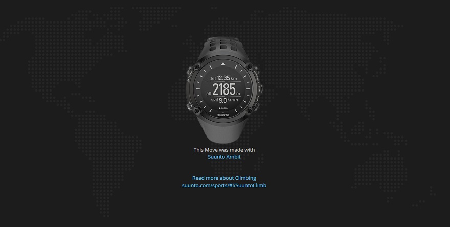
Suunto Movescount Stats

 Download GPX file here (right click and save link as)


 The closer I got to Namche the more I realised that the trip was coming to an end. A part of me was looking forward to all the comforts of home (clean clothes, a shower!) and the rest and recuperation that would inevitably follow, but a significant part of me did not want to head back at all and would have been perfectly content to have just kept on wandering.


