Fields of Buckwheat
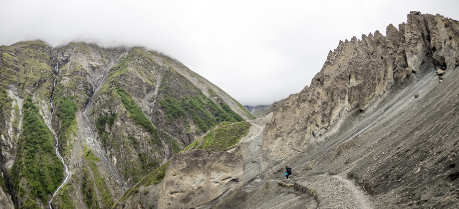
Just under six kilometres into the hike, we encountered a long mani wall. The trail veered right to a suspension bridge, and began zig-zagging up the slopes from there. The hamlet of Ghyaru

(
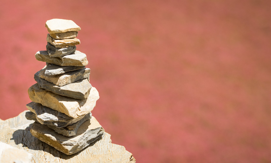
elevation : 3670 m) was located behind the flags right at the top of the steep hill and, at that time at least, seemed incredibly far away. The crumbly scree trail was long and tiring, as well as a little frustrating at times. We spotted the man from the U.S that we had met earlier a fair distance behind us, which spurred us forward. He spoke too much and had an annoying habit of building completely unnecessary
cairns as he made his way along the trail. As we climbed, we were kept distracted by the incredible views, the huge diversity of wildflowers, and the antics of two alpine choughs
(Pyrrhocorax graculus) that nipped at the tail of an eagle
(Aquila sp.), trying to chase it away from what must have been their nest. I watched as the eagle circled the thermal currents ever upwards trying to escape them.
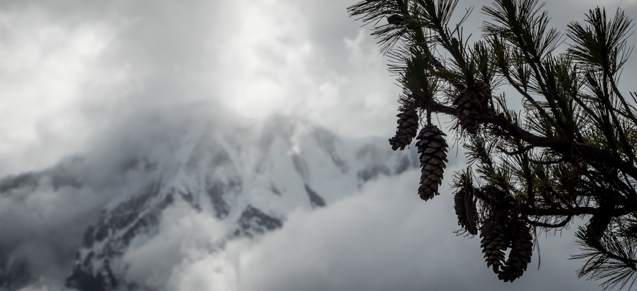
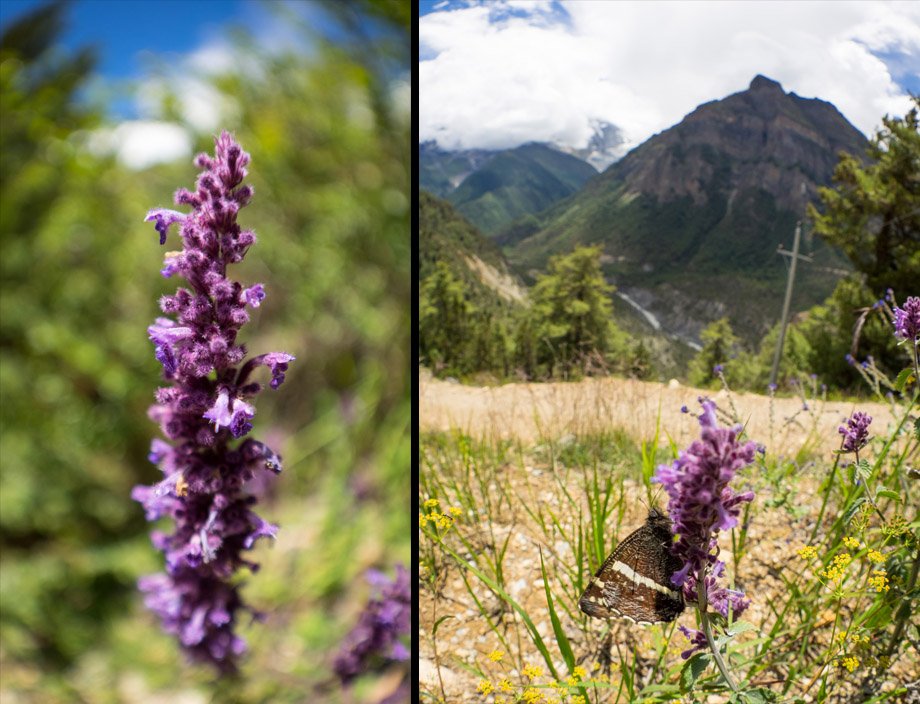 Woolly Catmint (Nepeta floccosa)
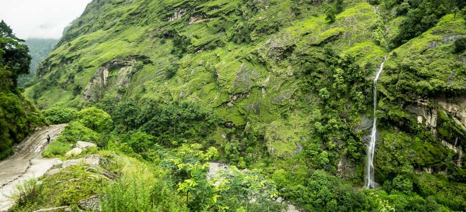
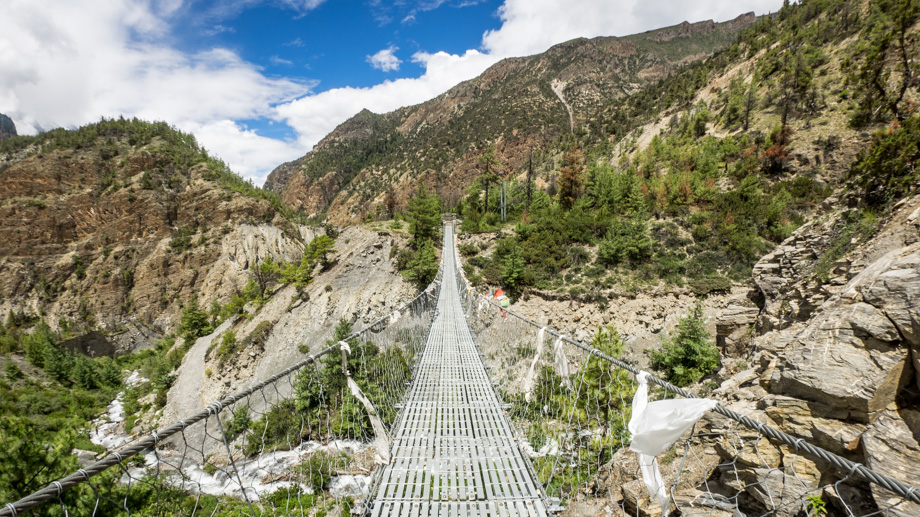 The long suspension bridge
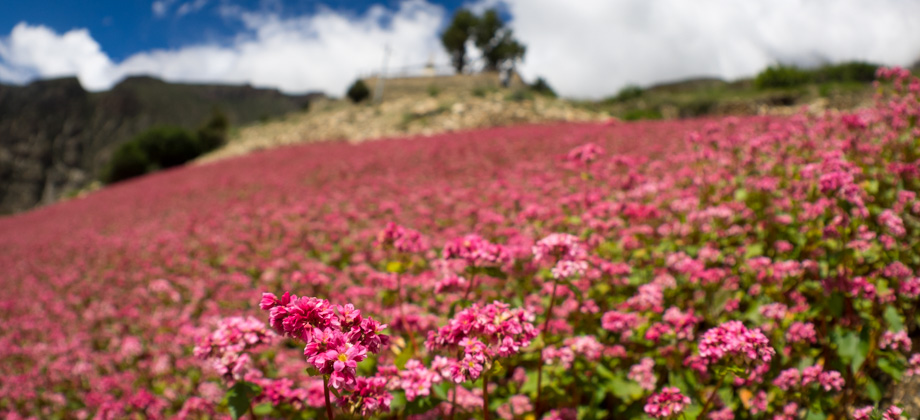
There was an old woman at a little shop along the way that attempted to peddle her wares to us, but ended up cursing under her breath after we politely refused to purchase anything. Absolutely everything was covered by a plastic wrapper or in a plastic container of some sort--biscuits in plastic, crisps in plastic, and even water in plastic--and I would not have taken them from her even if she had tried to give them to me for free. We marched on past her quickly, and as we rounded the top of the hill, expansive fields of buckwheat
(Fagopyrum esculentum) made their appearance. Buckwheat is a short-season crop that is used as a cover crop during the Monsoon season. This is because it establishes quickly, which in turn suppresses the onset of summer weeds.
 Fields of buckwheat (Fagopyrum esculentum)
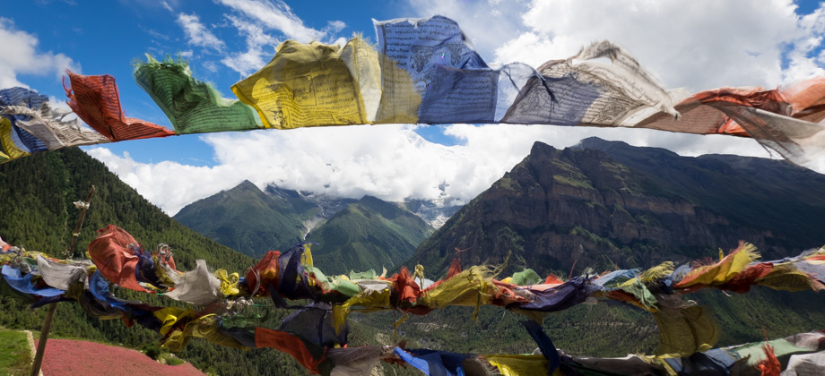
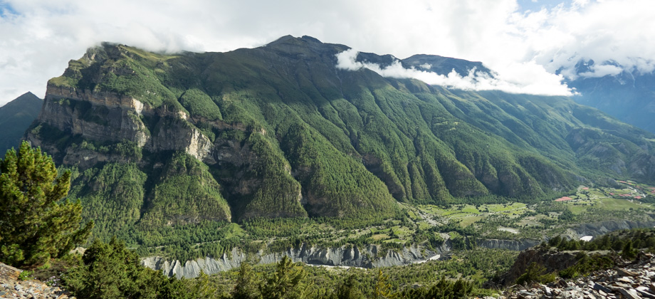
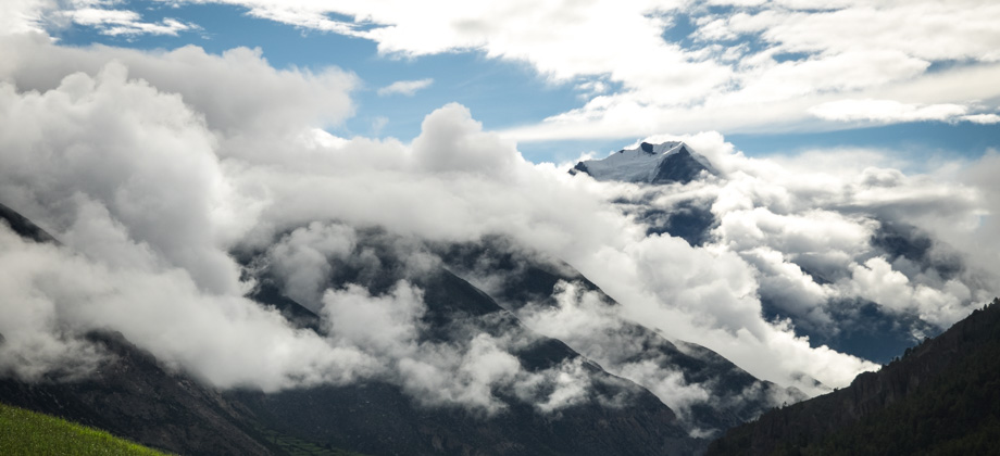
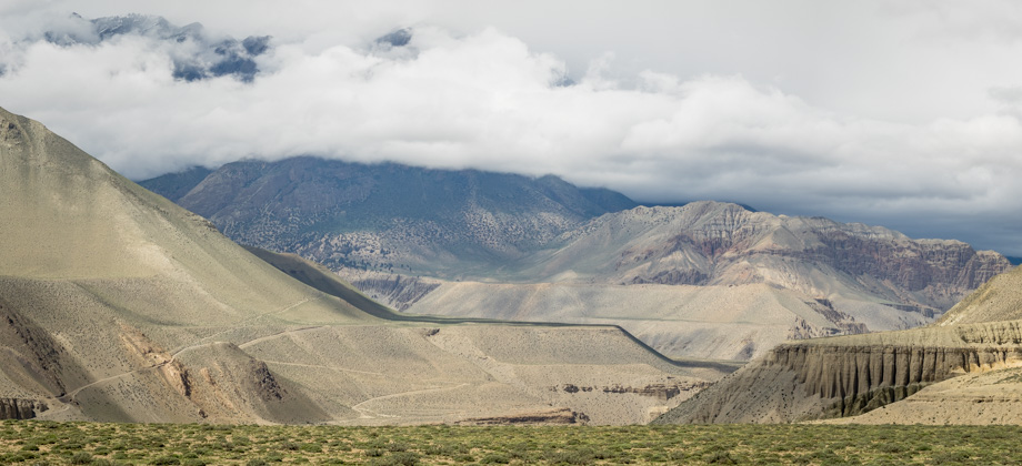
Just above the buckwheat fields lay Jhunju chorten, which is what most people refer to as 'the viewpoint'. The viewpoint overlooked the north-eastern ridge of Longyodanda (
elevation : 5106 m), and if not for the clouds, would have afforded excellent views of Annapurna II (
elevation : 7939 m) and Annapurna IV (
elevation : 7525 m) on the left, and Annapurna III (
elevation : 7555 m) on the right. Despite the clouds, the views were still fantastic and we stayed for quite some time to appreciate them. After a while, the violent flutterings of the excessive number of prayer flags that were festooned around the chorten began to get to me, so we continued on.
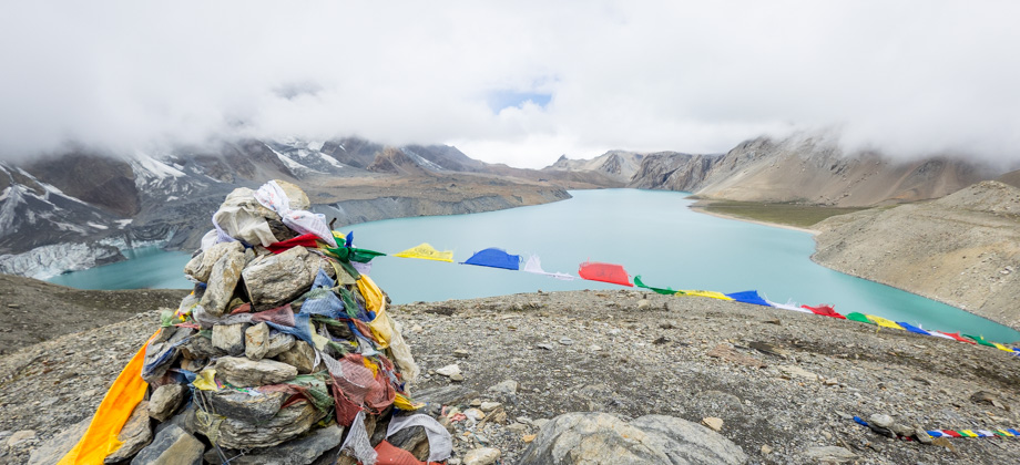
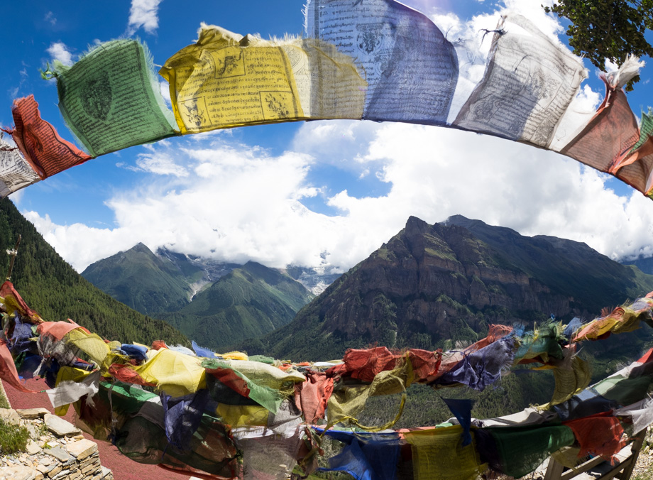 North-eastern ridge of Longyodanda (elevation : 5106 m) seen through prayer flags