


March 18, 2018
Posted by Ramon Fadli in Budget, Class 2, Coniferous Forests, Forests, Gandaki, Hiking, Humid Subtropical, Lakes, Nepal
ABC Day 01 – Pokhara
ABC Index
World Peace Stupa
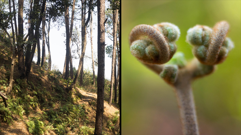
The Tourist Office turned out to be located fairly close to the start of one of the trails that lead to the World Peace Stupa (also known as the Nipponzan Myohoji Japanese Buddhist Temple). The stupa was said to offer good views of the Annapurna range as well as Phewa Lake, so we figured that it would be a perfect warm-up hike. Just be careful if you decide to hike up to the stupa, as there have been reports of robberies along the trail over the years. Please exercise caution and travel in a group if at all possible.
Difficulty Rating : 2.0 / 10.0 (Class 2 - Very straightforward)
Getting To The Trailhead
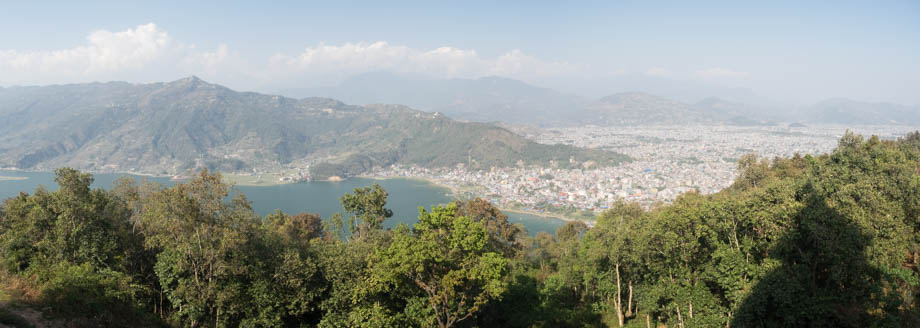
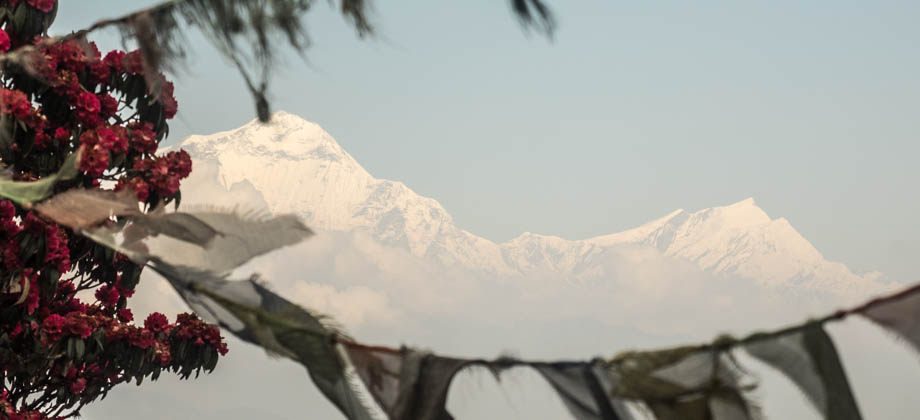
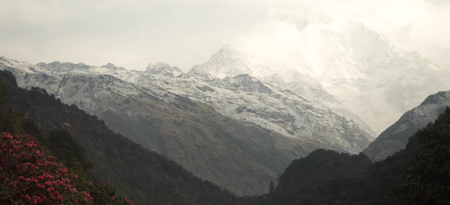
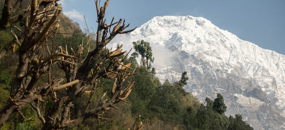
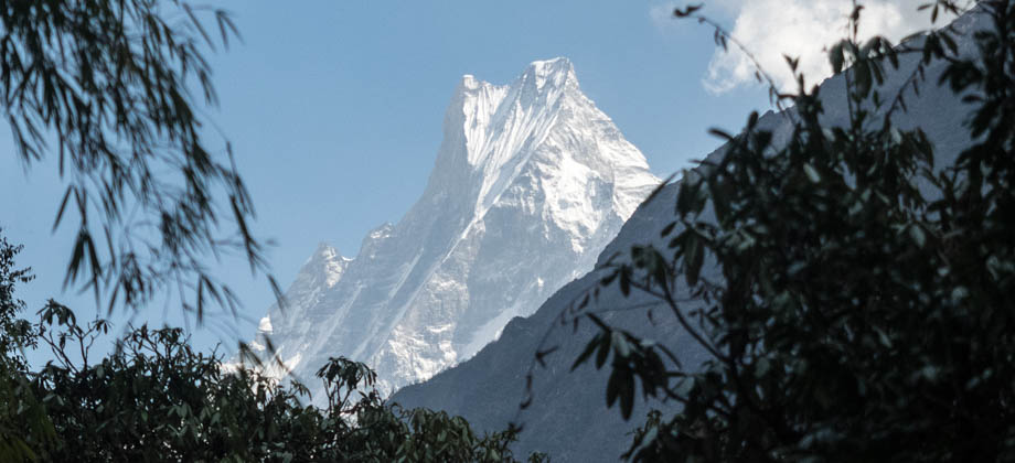
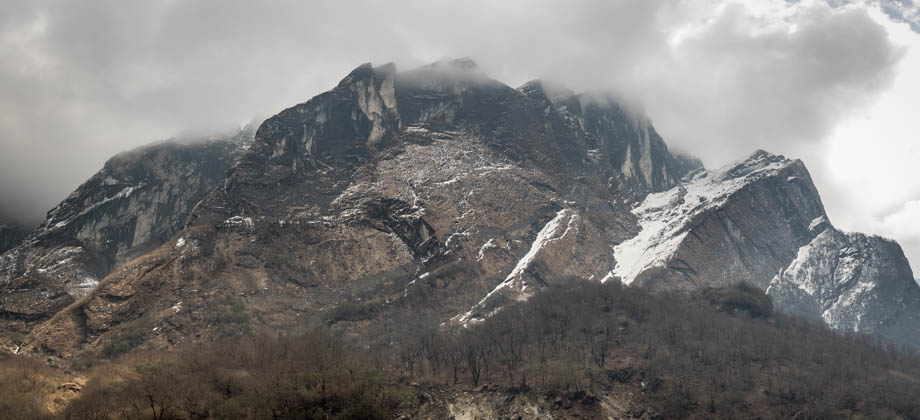
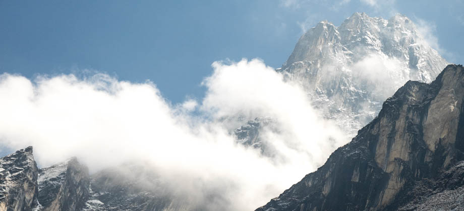
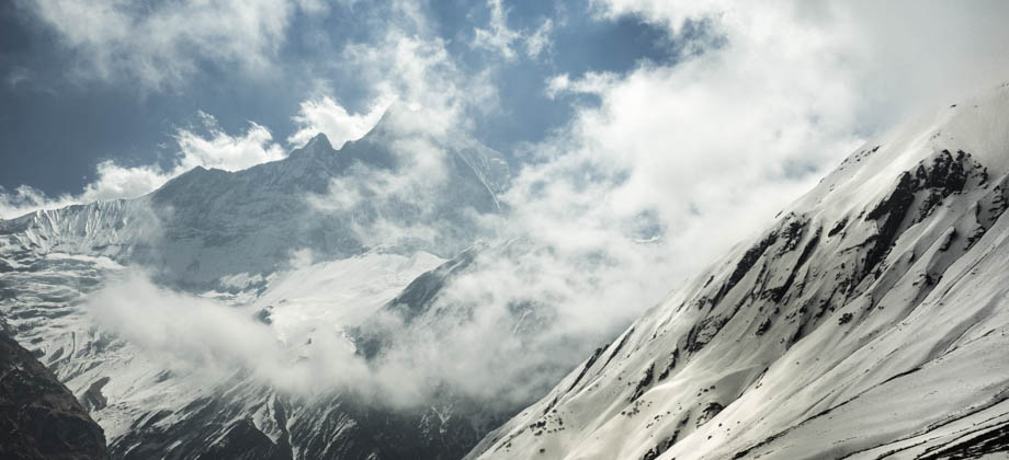
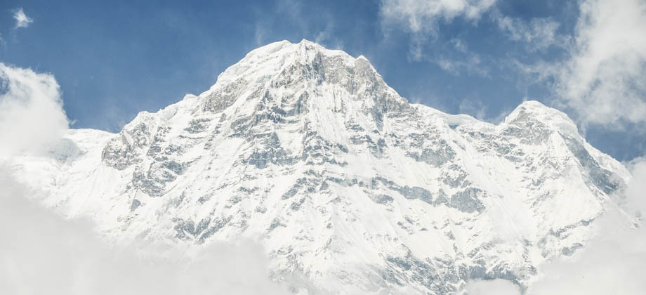
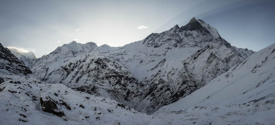
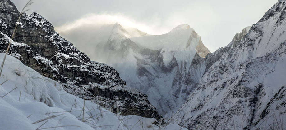
 Just beyond the ridge lay coffee shops that awaited the thirsty and the unprepared, whilst the stairs continued on to the stupa itself. At the top, throngs of tourists were gathered around the railings trying to glimpse a view of the cloud-obscured mountains. Annapurna I (elevation : 8091 m), Hiunchuli (elevation : 6441 m), and Machapuchare (elevation : 6997 m) normally take centre stage on a clear day, with Annapurna II, III, and IV (elevation : 7939 m, 7555 m, 7525 m respectively) located further along the horizon to the right. What was quite clear however was the massive Phewa Lake that lay in front of us, and the tiny buildings of Pokhara that seemed to be haphazardly and almost randomly erected, almost akin to colourful lego blocks.