


May 24, 2014
Posted by Ramon Fadli in Australia, Camping, Hiking, Mediterranean, Ridges, Sclerophyll & Mediterranean Forests, Western Australia
Stirling Ridge Walk - Day 2
Stirling Ridge Walk Index
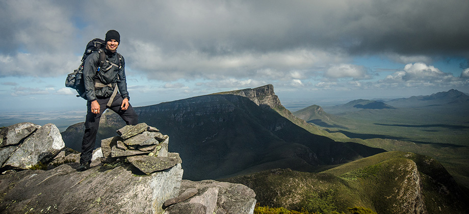
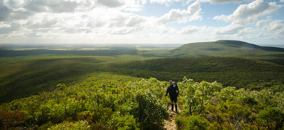
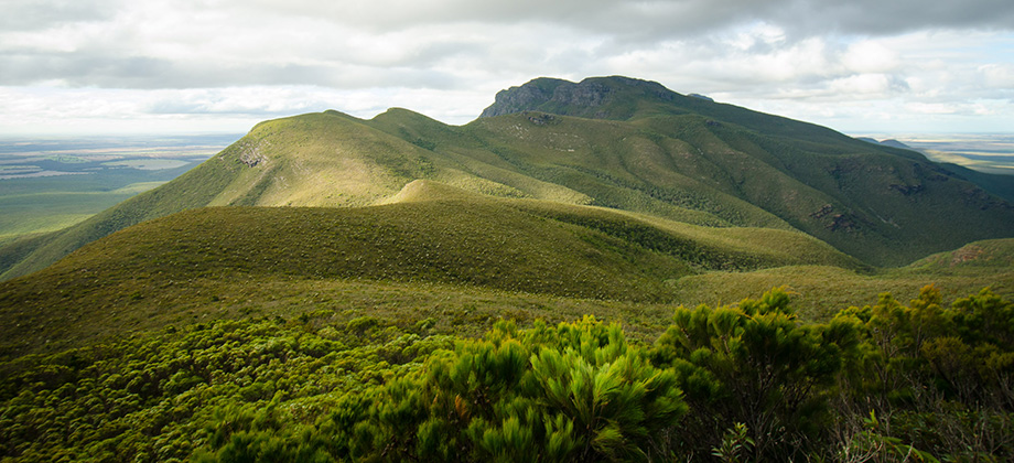
Baker's Knob
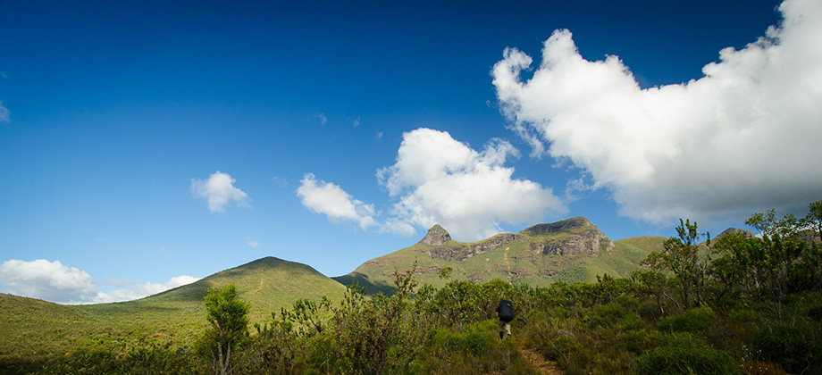
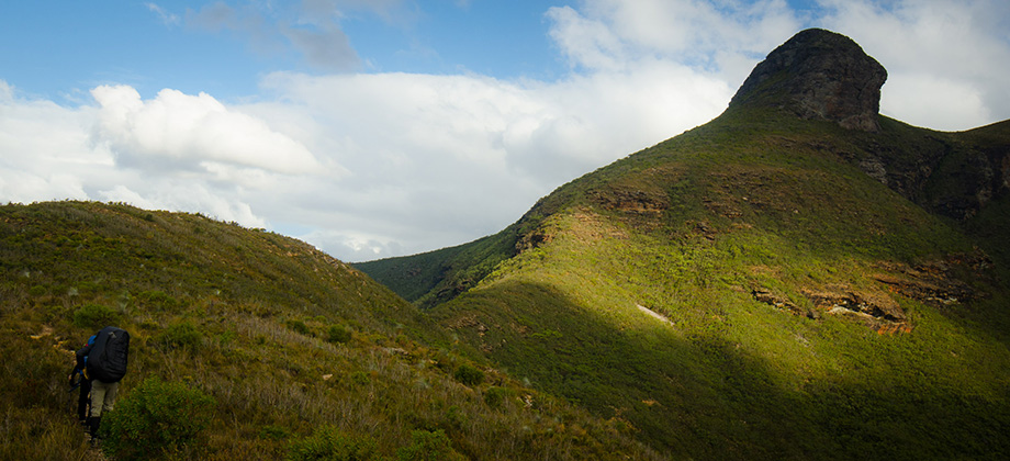
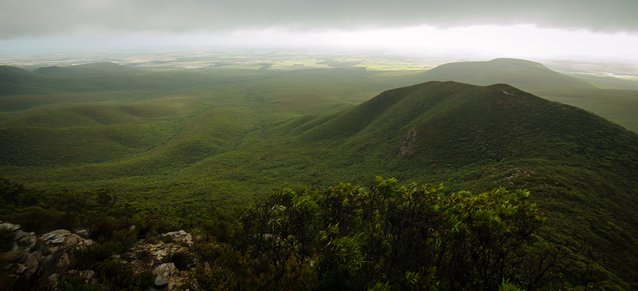
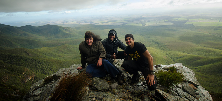
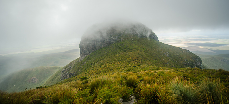
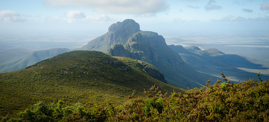
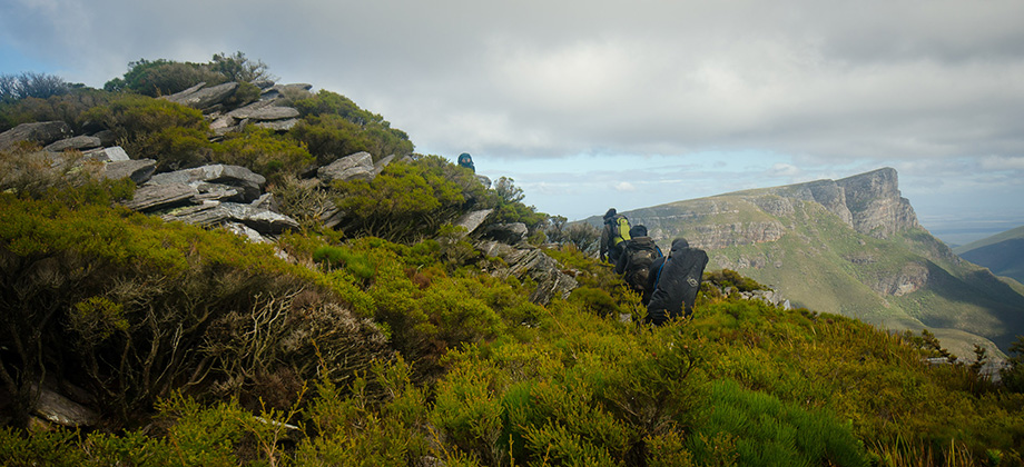
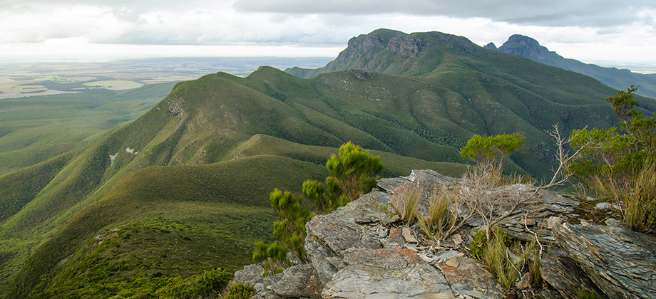
Baker's Knob (elevation : 930 m) proved to be a short and easy ascent. The open, rocky terrain that made up the summit of the hill passed by almost as quickly as it came. A surprising reward lay in wait at the peak however - our first glimpse of the anvil-like shape that is Bluff Knoll, our destination, far off in the distance. Shortly after, we turned back to the junction that we had passed moments before and took the path that skirted around to the right of Baker's Knob instead that lead on to the arrows (first to third, labelled west to east) that make up Mirlpunda. As we descended down to the rock turret and the little arrow (just before the third arrow), we once again came upon a group that we had seen earlier on the high-level traverse. The group seemed to have considered our presence there as a threat and the encounter had spurred them onwards towards the cave in the third arrow. Apparently the group had decided to track back to a possible campsite that lay just after the Pyungoorup pinnacle as they were concerned that the cave would be too exposed to the winds. We were fortunate that they had made this decision as there would just not have been enough room in the cave for both parties. I had however considered the central gully of the third arrow as an alternate campsite but upon inspection, there turned out to be no flat ground for tents, although the hammock could have been hung up by using climbing cams anchored into the rock face. In hindsight, another campsite option would have been a clearing that you would pass on the way to the water barrel (I would highly recommend purifying the water there prior to consumption) after rounding the north buttress and walking on past the central gully to your left and the path down to the second arrow to your right.
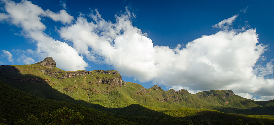
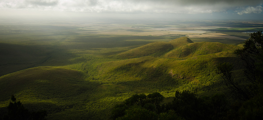
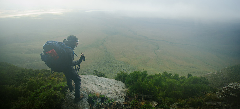
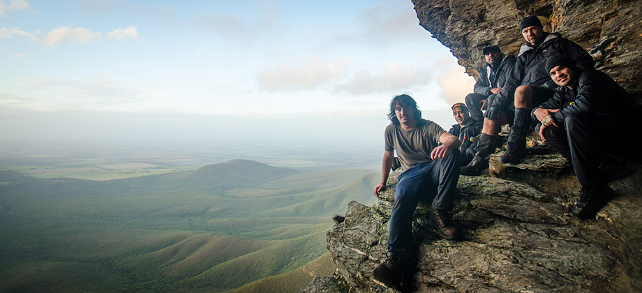
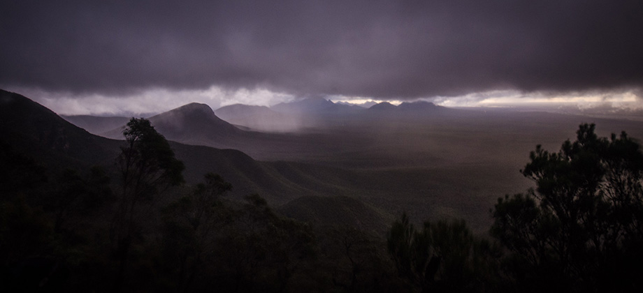
 The camping cave was everything that I had expected. It was large and broad, albeit a tad shallow, and made a rather charming camp site. The cave was reached by following the track around the north buttress but since it lay a little high up, one would have to keep their eyes peeled in order to spot it nestled up in the rock face. I was glad to stop there for the day as the deep cuts that I had sustained to my hands required some treatment.
Route Playback


