Backtrack

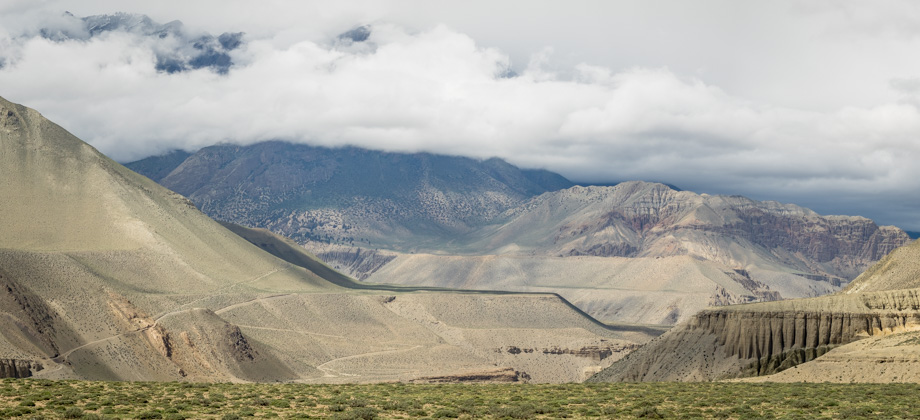
We set off at 08:45 in absolutely beautiful weather, with the sun warming the grassy slopes and the mountains only partially concealed. The plan for the next few days was to cross the watershed and over the Thorong La Pass

(
elevation : 5416 m), but in order to do that, we would have to trek northwards through the Thorong Khola valley. Instead of backtracking all the way to the town of Manang
(
elevation : 3540 m) however, we planned to bypass it completely by backtracking to Shree Kharka
(
elevation : 4070 m) and taking the route to Upper Khangsar (
elevation : 4120 m). This route would eventually swing north at the river confluence before heading up the Thorong Khola valley.
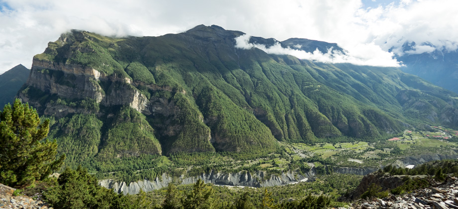
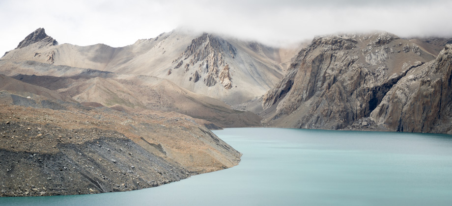
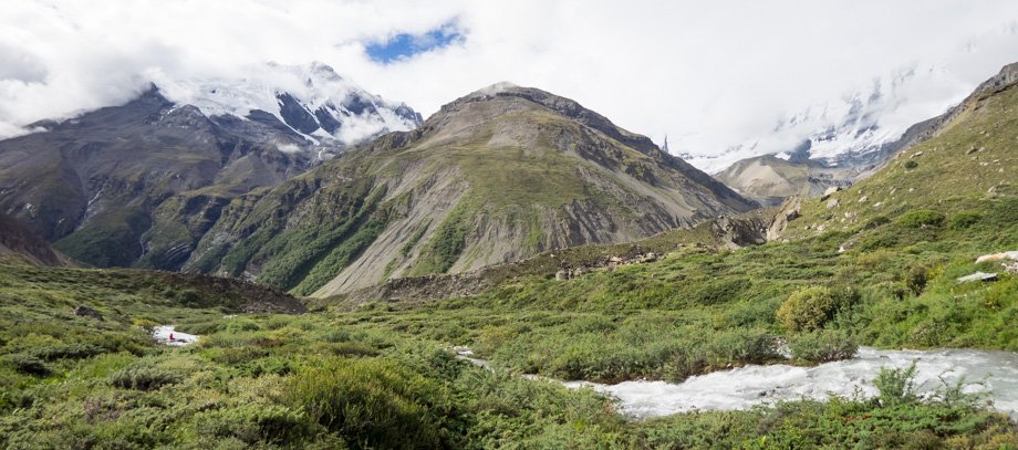 The view from Tilicho Base Camp: Om Myurpa (elevation : 5039 m) in the centre with thesnow-covered northern face of 'Peak 6170' on the left of the image. Khangsar Kang/RocNoir (elevation : 7485 m) and the rest of the Grande Barriere are on the right
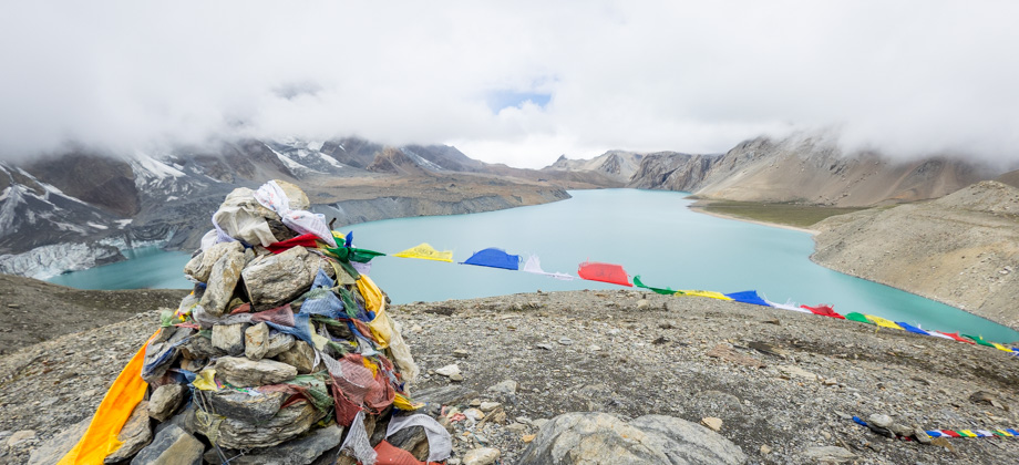
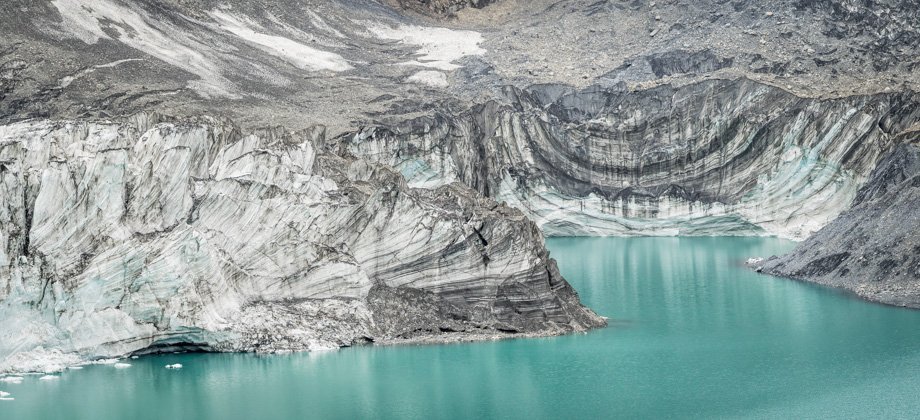
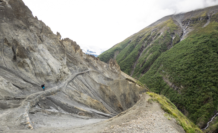
 The lateral moraine of the glacier and the ridge that ascends to 'Peak 5126' inthe centre, Om Myurpa (elevation : 5039 m) rising to the left, and the fainttrail to Tilicho Lake (elevation : 4920 m) tracing the slopes to the right.
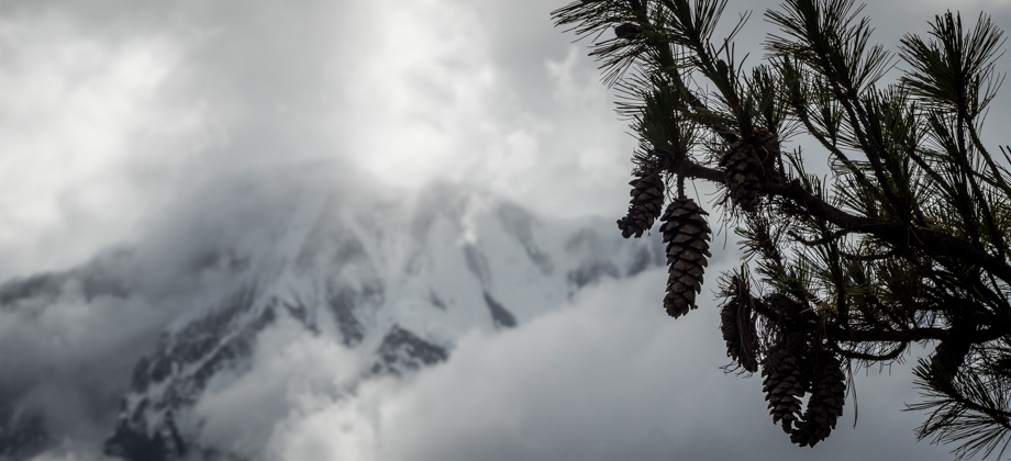
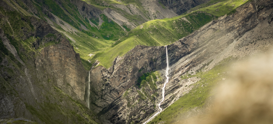
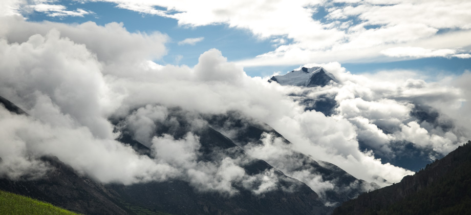
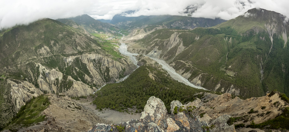
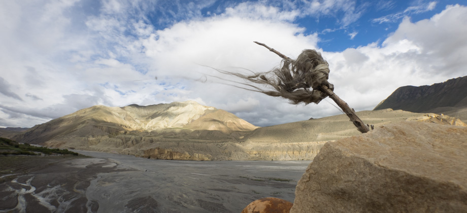
We began to walk east towards the arid pinnacles, and were completely transfixed with the snow-covered northern face of 'Peak 6170' that lay just ahead of us. This was the first time that we had seen the peak as it had been obscured by cloud cover over the previous two days. We reached the
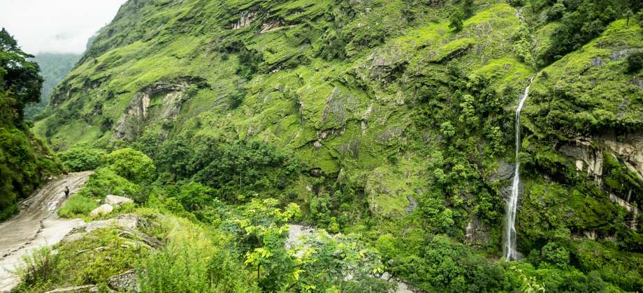
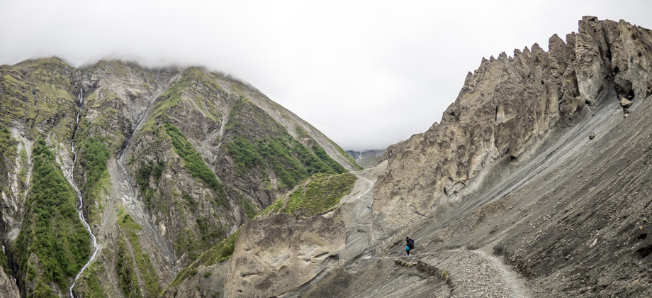
triple waterfall in 20 minutes and began to walk through the rock fall section immediately after that. I found the amalgamation of the various elements to be quite amazing--to the right were a multitude of waterfalls that plummeted into the glinting Marsyangdi Nadi and were topped by imposing snow-covered peaks; to the left were the desolate and otherworldly pinnacles that were surrounded by greyish
volcanic-like sand; behind us lay the formidable wall of ice and
glaciers that made up the Grand Barriere; and directly above us came the sharp puppy-like yelps of alpine choughs
(Pyrrhocorax graculus)--all of which were within 30 minutes walk from Tilicho Base Camp
(
elevation : 4150 m).
 Looking east with the waterfalls to our right and the pinnacles just ahead...
 ...looking west with the snow-covered peaks and the pinnacles behind us
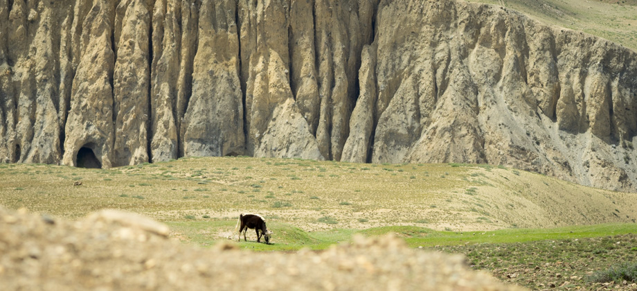
We made it out of the landslide-prone area after exactly an hour of walking. By then, all the familiar flowers had returned and with them came all the insects. Pollinators such as butterflies and blister beetles
(Family : Meloidae) were plentiful, as were
coprovores, such as dung beetles
(Family : Scarabaeidae) that were attracted to all the horse
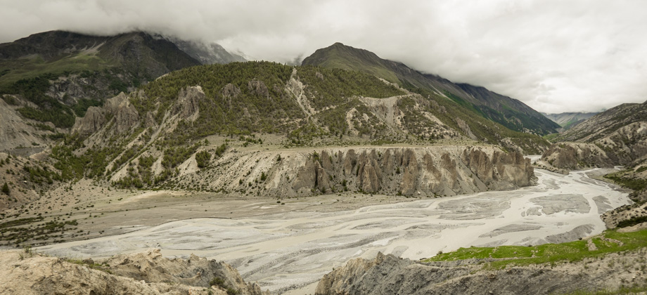
(Equus ferus caballus) faeces that besmeared the trail. We crossed the waterfall and eventually reached the suspension bridge after an hour and forty-five minutes of walking, and then began to descend down scree once again to Shree Kharka
(
elevation : 4070 m).
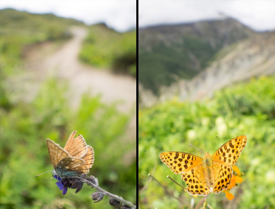 Meadow blue butterfly (Polyommatus sp.); Himalayan queen fritillary (Issoria issaea)