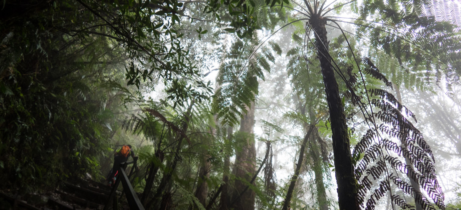
Kinabalu via Timpohon Day 1 - To Laban Rata
The 2015 Earthquake
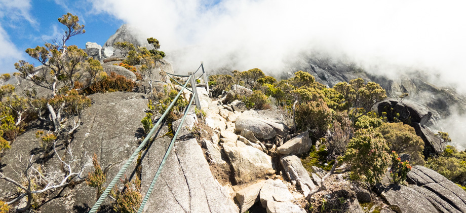
After a while the mist began to part, offering us occasional glimpses of the rockface on the left that used to be lightly topped with vegetation. The 2015 earthquake had shaken free a lot of the loose debris and vegetation, leaving the rockface looking clean and polished. There were sections further up the trail before 'Sayat Sayat Hut'

(
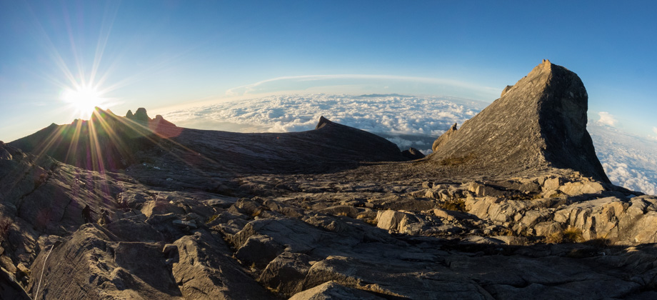
elevation : 3668 m) that were better examples of the extent of the devastation. The 5.9 magnitude earthquake occurred on the 5th of June 2015, and it not only stranded groups of hikers on the peak, but the subsequent rockfalls, landslides, and the damage that was done to the via ferrata installations ended up killing 18 people, including hikers and mountain guides. One of the prominent structures, the Donkey Ear's Peak (
elevation : 4048 m) was also severely damaged. Furthermore, the alternative trail to Timpohon, which is called Mesilau, is no longer accessible due to the earthquake.
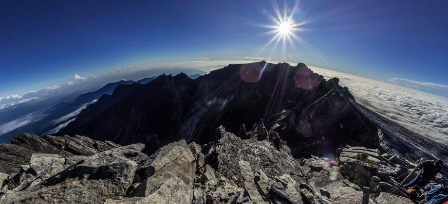
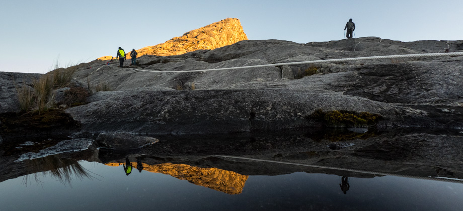
 Rockfall trails can be seen in the top right, and rubble heaps in the lower
right of the image. Hover your cursor over the image above to see the
condition of the rockface back in 2011 before the earthquake
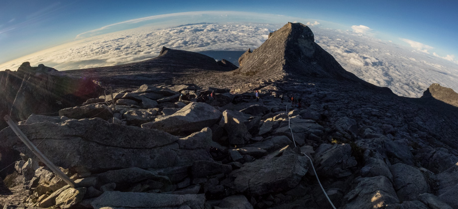
Rockfall trails can be seen in the top right, and rubble heaps in the lower
right of the image. Hover your cursor over the image above to see the
condition of the rockface back in 2011 before the earthquake
Laban Rata
(
elevation : 3272 m) was located approximately a kilometre up the trail from 'Villosa Hut' (
elevation : 2960 m), and it took us about 40 minutes to get there. Along the way we passed 'Paka Hut' (
elevation : 3080 m), which was a shelter that was named after the Paka Cave that was located just nearby. The cave is basically a large overhanging rock that is located right next to a stream, which, at least before the Laban Rata lodges were built, functioned as a campsite for hikers that needed to acclimatise before making the summit push the following day. After Paka Hut, the trail entered the montane forest once again before reaching Laban Rata not too long after.
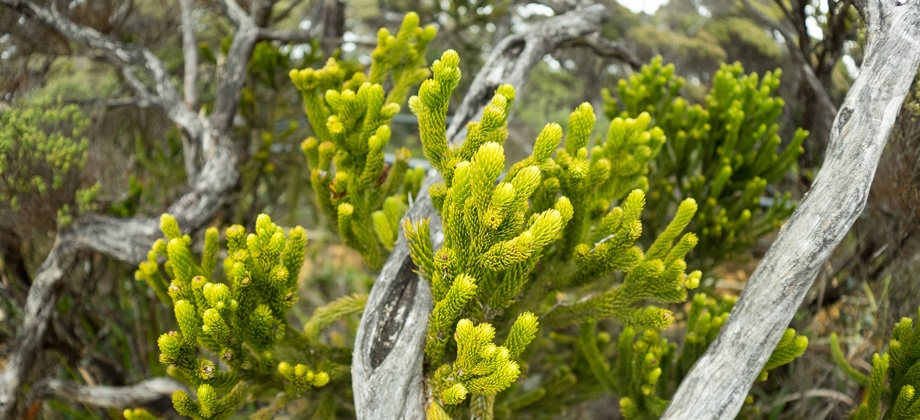
 Leptospermum recurvum trees (tea trees) that have been twisted by the wind and are draped in fruticose lichen (Usnea spp.)
Laban Rata
(
elevation : 3272 m) is a relatively large collection of lodges and huts that is located very close to the Mount Kinabalu treeline. Its elevation and location at the edge of the granite rockface makes Laban Rata an ideal place for
acclimatisation. Dinnertime at the Laban Rata Guesthouse is from 16:30 to 19:30, but please bear in mind that they do not include water. Instead, water is sold at the horrific price of
MYR5 for a jug of hot water,
MYR7 for a small bottle of mineral water, and
MYR14 for a larger 1.5l bottle. Fortunately, I tend to carry more water than I need as there have been a few times in the past where things have gone wrong and I have been caught severely low on water. Potable water is also very useful for flushing debris out of wounds in an emergency. I also carry either a
water filter or a
steripen, and use them in combination with water treatment tablets.
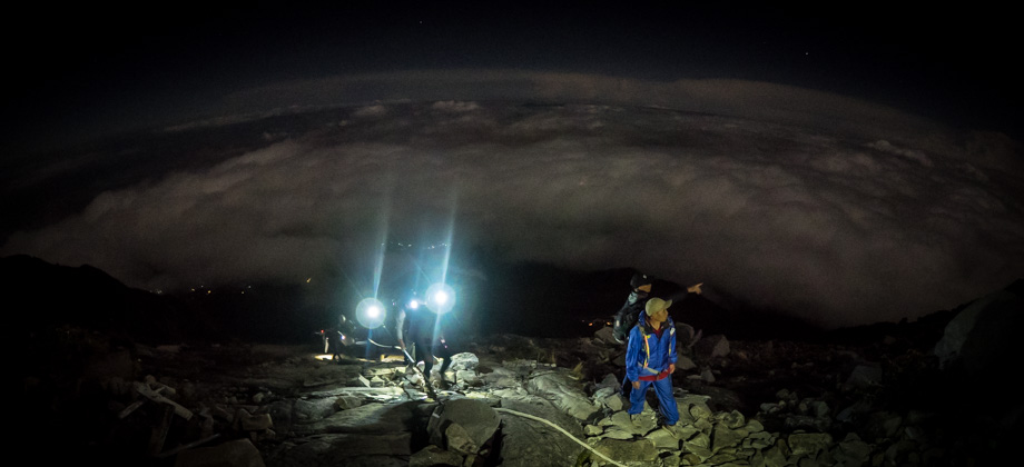
After dinner, we were strongly encouraged to get as much rest as we possibly could as the morning wake-up call was to be at 01:30!
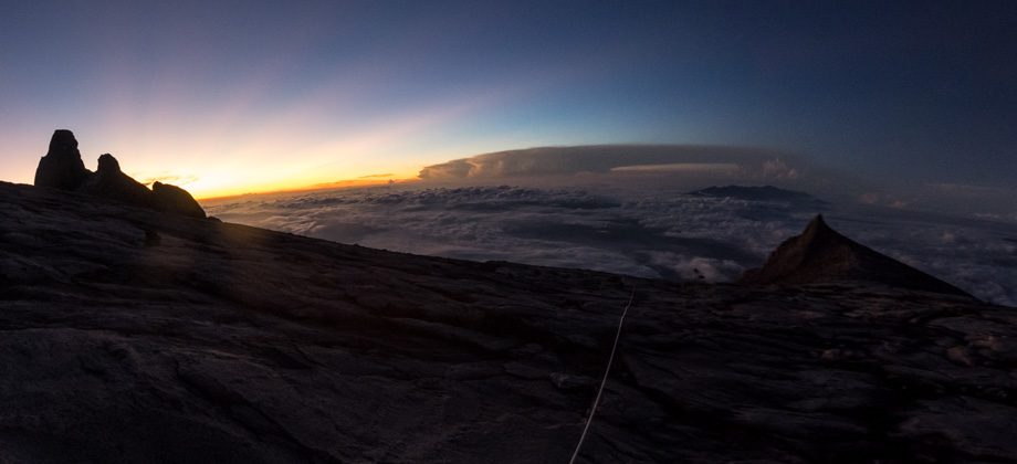
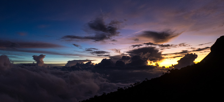
 Sunset from Laban Rata
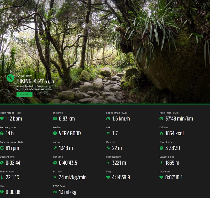
Suunto Movescount Stats
 Download GPX file here (right click and save link as)