
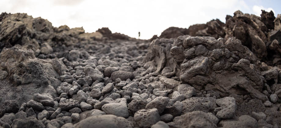
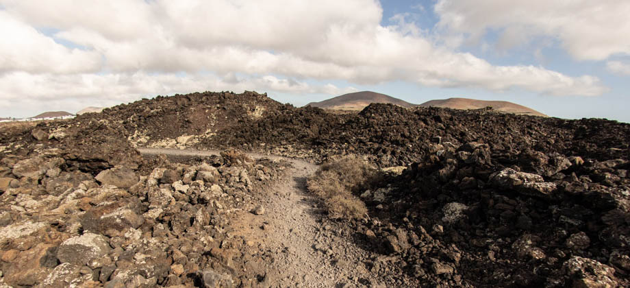
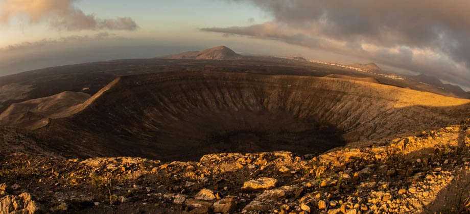
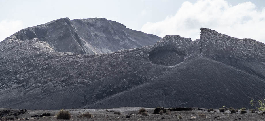
September 1, 2019
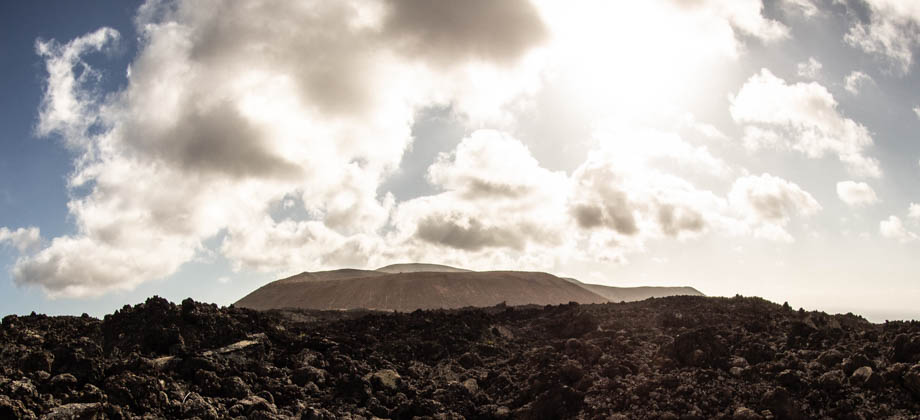
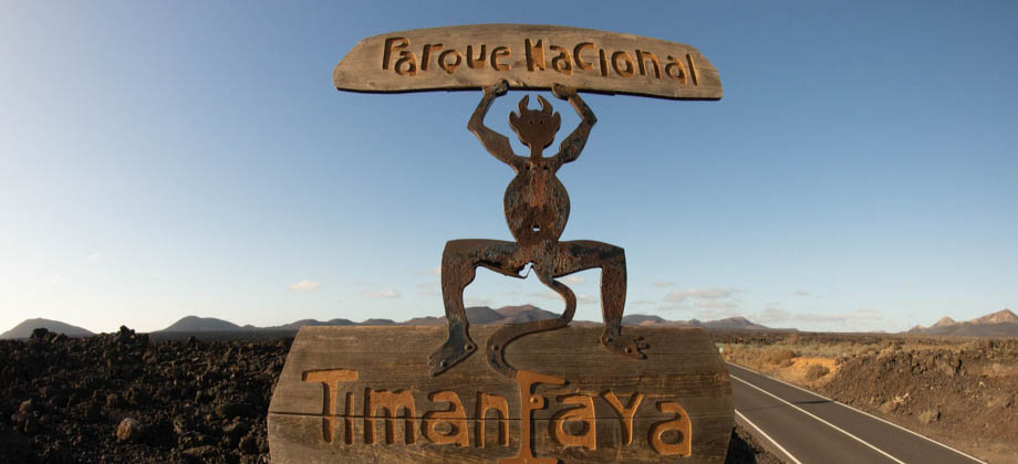
Posted by ramon in Arid Desert, Astronomy, Canary Islands, Class 4, Day Hike, Hiking, Islands, IUCN Protected Category 2, Looped Hike, National Parks, Sclerophyll & Mediterranean Forests, Spain, Sunrise & Sunset, UNESCO, Volcanoes
Hiking


0
0
May 5, 2019
Posted by ramon in Class 5, Day Hike, Hiking, Ireland, Looped Hike, Mountains, National Parks, Oceanic, Temperate Deciduous Forests, Wicklow
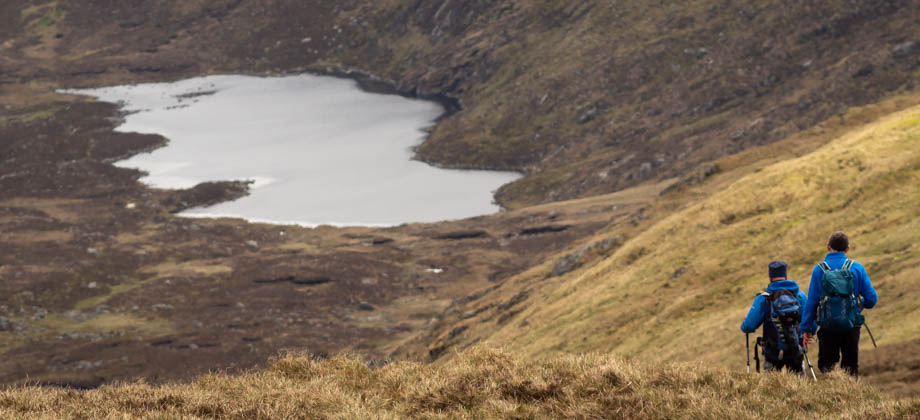
Lugnaquilla
Lugnaquilla is located in the Wicklow Mountains, and is the highest mountain in Ireland outside of County Kerry. Standing 925 metres-high with a prominence of 849 metres, Lugnaquilla qualifies as a furth and is the 63rd highest mountain (with a prominence of at least 600 m) in the islands of Ireland and Great Britain, sitting just one place ahead of Galtymore. Lugnaquilla is also known as the 'Lug', but despite the name Read more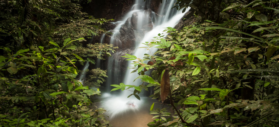
0
November 20, 2018
Posted by ramon in Broadleaf Rainforests, Class 1, Day Hike, Hiking, IUCN Protected Category 2, Malaysia, Selangor, Tropical Rainforest, Waterfalls
Pisang Waterfall
The hike to Pisang waterfall is a quick and easy excursion that is not too far from the centre of Kuala Lumpur. The hike follows the Pisang river and as a result, has almost no elevation gain. This makes it perfect for beginner hikers or just for those who are looking for an easy weekend getaway. Its accessibility does unfortunately mean that the number of people that are likely to be encountered will be higher than Read more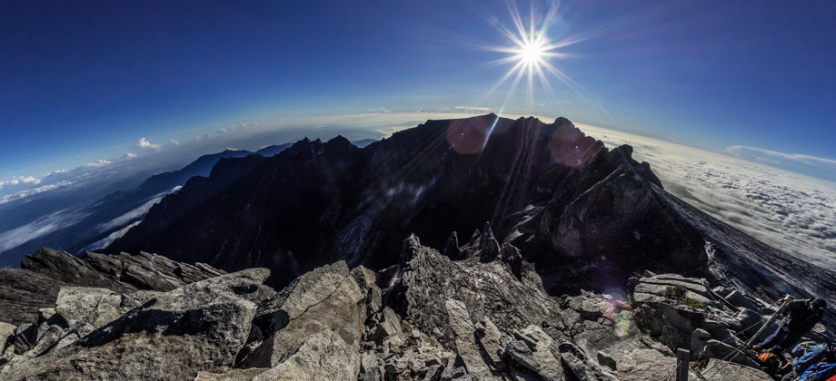


0
October 25, 2018
Posted by ramon in Alpine, Arctic & Antarctic Tundra, Broadleaf Rainforests, Class 6, Forests, Guided Hike, Hiking, IUCN Protected Category 2, Malaysia, Mountains, Multiday Hike, National Parks, Peak Labels, Sabah, Tropical Rainforest, UNESCO
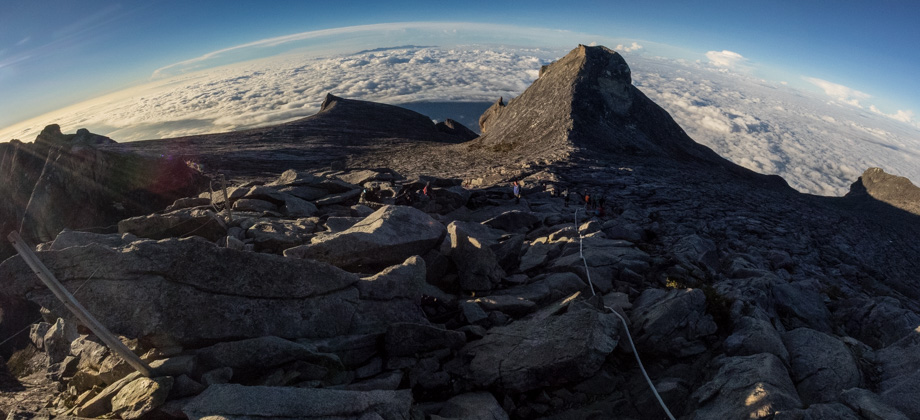
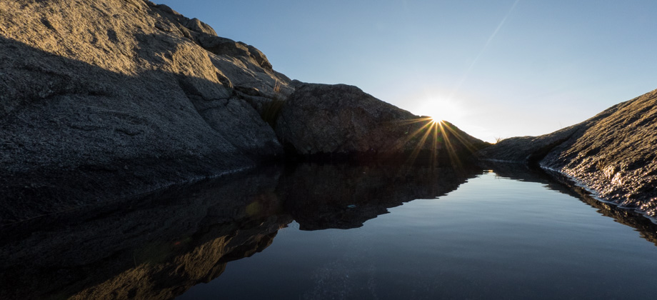
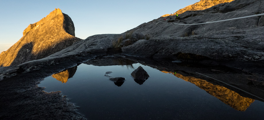
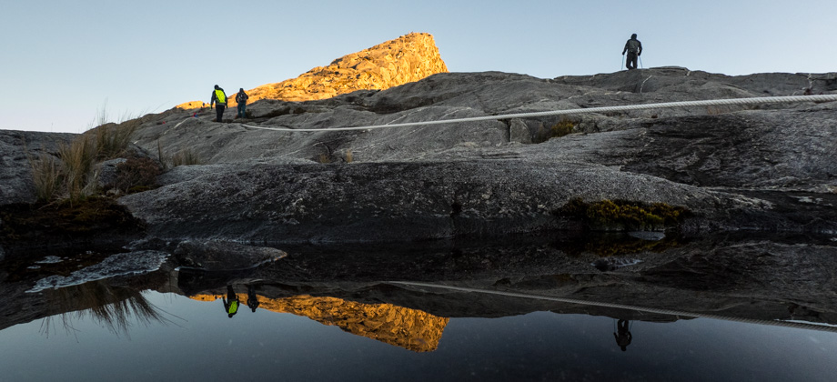
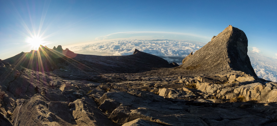
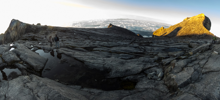
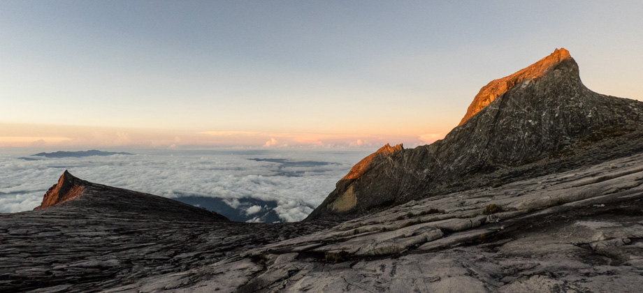
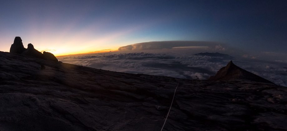
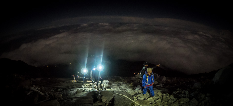
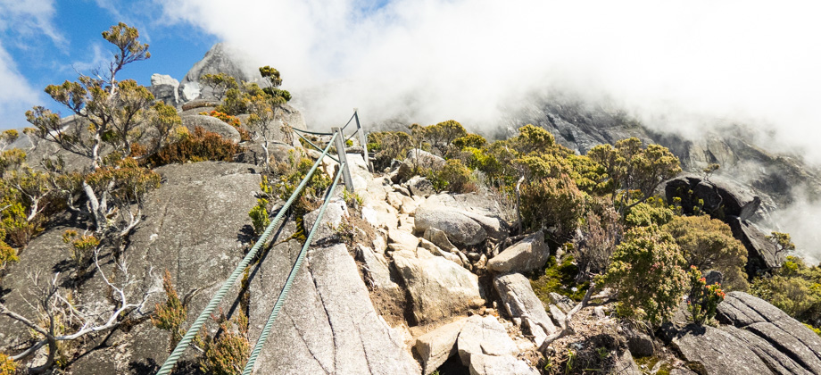
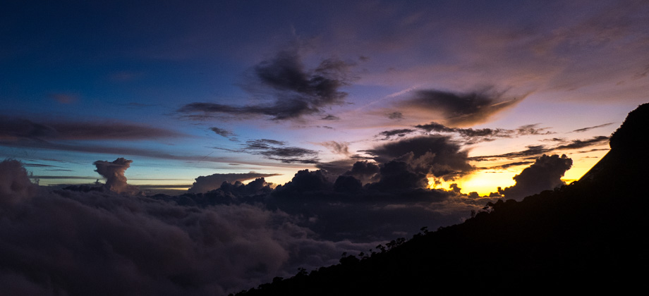
Mount Kinabalu
Mount Kinabalu (elevation : 4095 m) is the highest mountain in Malaysia (both by prominence as well as sheer elevation), and is also the highest mountain between the Himalayas and the island of New Guinea. Based on topographic prominence, Mount Kinabalu also happens to be the 20th highest mountain in the world, but only the second highest mountain in South-East Asia behind Puncak Jaya (elevation : 4884 m) Read more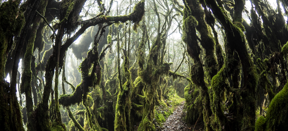


1
October 5, 2018
Posted by ramon in Broadleaf Rainforests, Camping, Class 7, Forests, Guided Hike, Hiking, Kelantan, Malaysia, Mountains, Multiday Hike, Perak, Tropical Rainforest
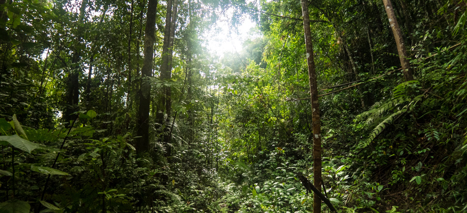
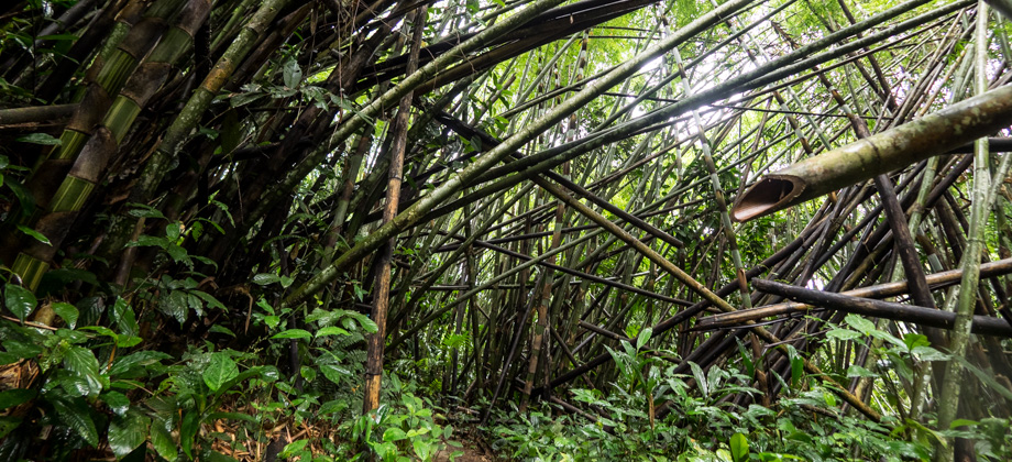
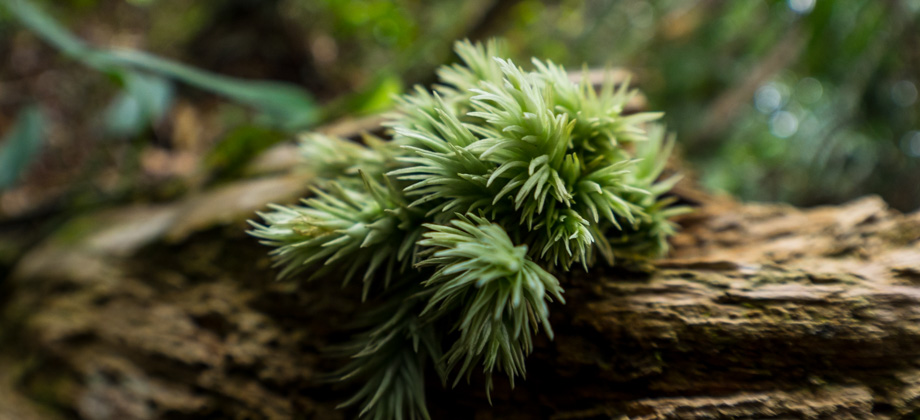
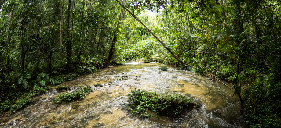
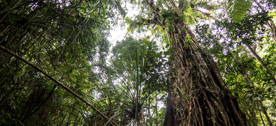
GBB (CUS Connection)
The hike to Mount Gerah (elevation : 2103m), the 13th or 17th highest mountain in Malaysia (based on prominence or sheer elevation respectively), almost always covers its sibling-peaks as well: Mount Bilah (elevation : 2077m) and Mount Bieh (elevation : 2073m); and is always referred to as 'GBB'. While the GBB hike normally begins and ends at the Temiar settlement of Pos Kemar just south of Temengor Read more
0
October 4, 2018
Posted by ramon in Broadleaf Rainforests, Forests, Hiking, Kelantan, Malaysia, Perak, Tropical Rainforest