
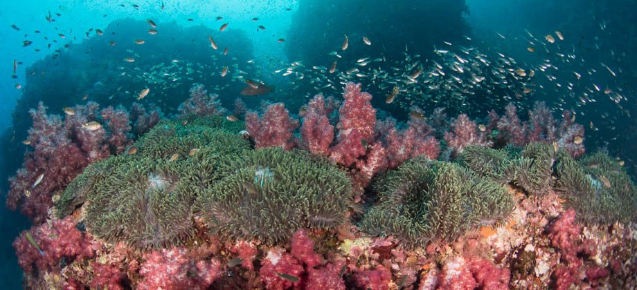
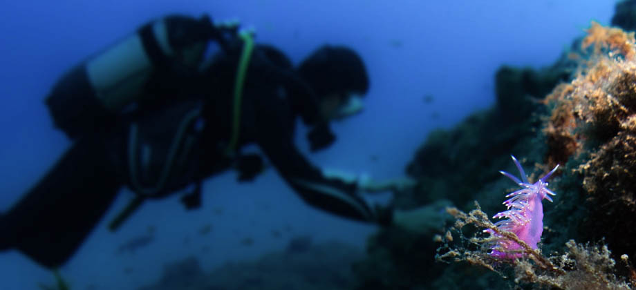
December 25, 2021
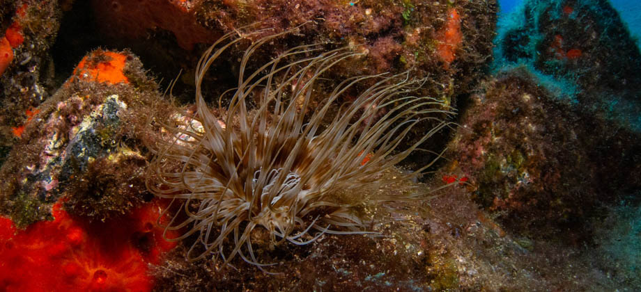
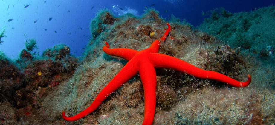
Posted by Ramon Fadli in Diving, Islands, IUCN Protected Category 2, National Parks, Phang Nga, Reefs, Thailand, Tropical Coral Reefs, Tropical Monsoon
Recent Posts
0
0
July 3, 2020
Posted by Ramon Fadli in Diving, Fjord, Galway, Ireland, Mayo, Oceanic, Temperate Deciduous Forests
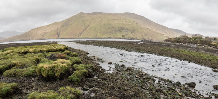
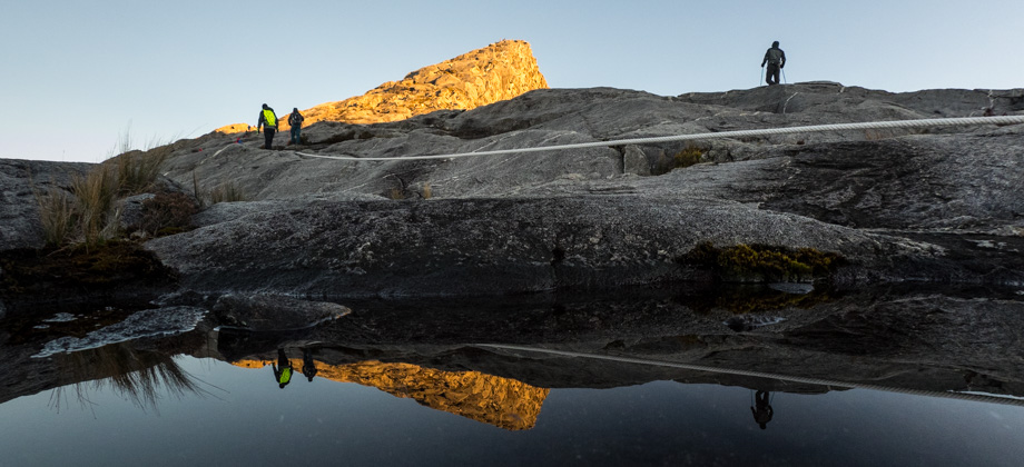
Killary Fjord
Killary Harbour (Irish: An Caoláire Rua) is a fjord that is located in Western Ireland. This 16-km-long flooded valley acts as a natural border between the Gaeltacht (Irish-speaking region) counties of Galway to the south, and Mayo to the north. Connacht’s highest mountain, Mweelrea (elevation : 814m) rises imposingly on the northern side of Killary Harbour, whereas the mountain ranges of the Twelve Bens and Read more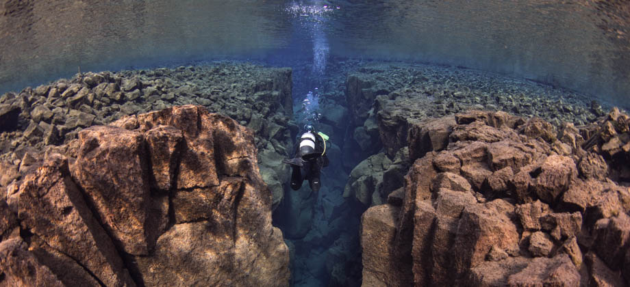


0
March 6, 2020
Posted by Ramon Fadli in Diving, Glaciers, Iceland, IUCN Protected Category 2, National Parks, Southern Region, Taiga & Boreal Forests, Tundra, UNESCO
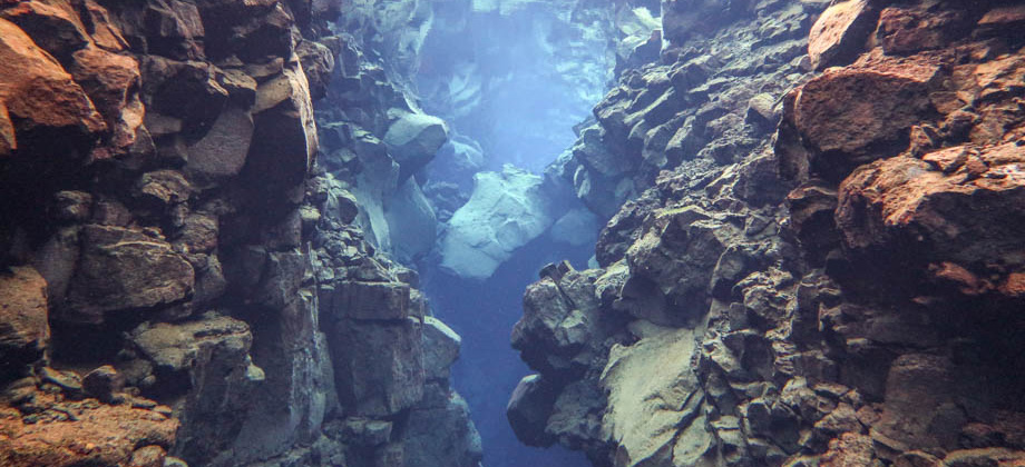
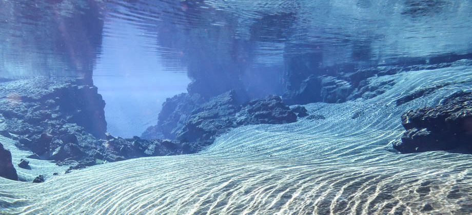
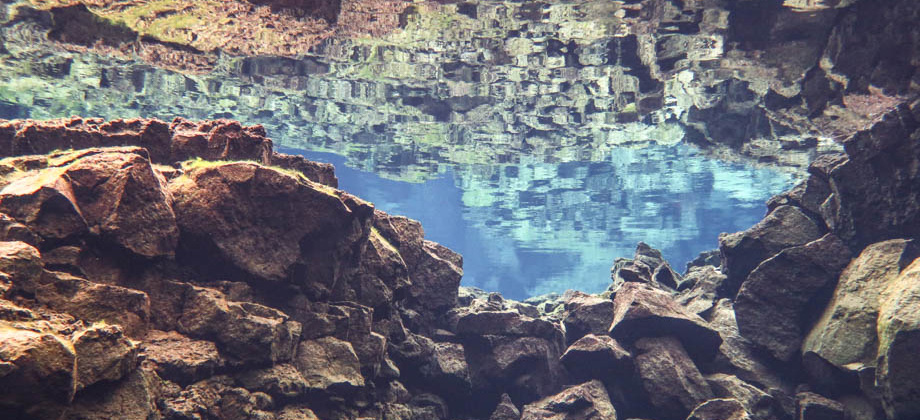
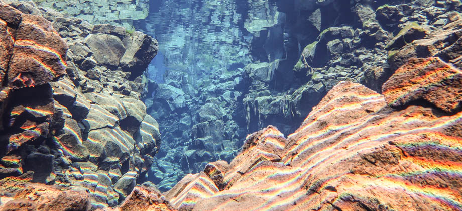
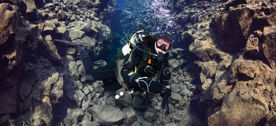
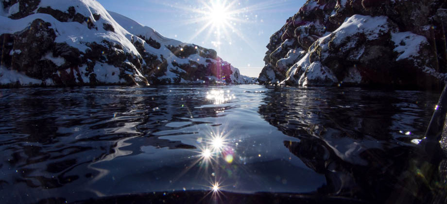
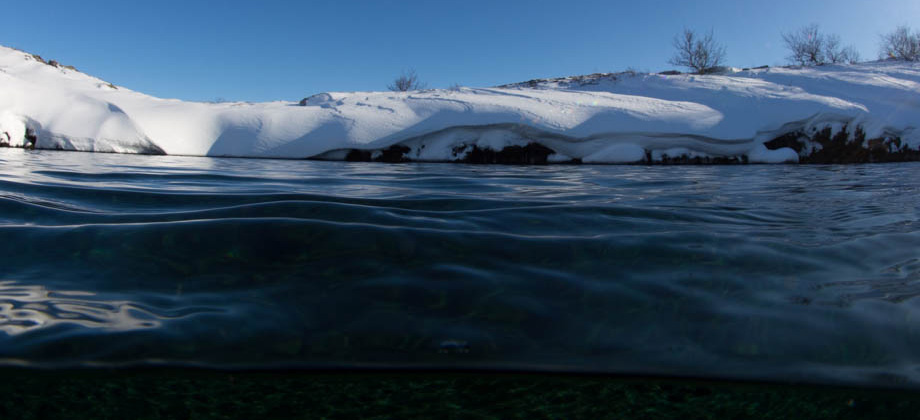
Silfra Fissure
Silfra Fissure is known to scuba divers the world over for the incredible visibility of its glacial meltwater. The fissure, like Nesgjá in the north of Iceland, is located on the tectonic plate boundary of the Mid-Atlantic Ridge. Silfra is also a site that can be accessed throughout the year, as the temperature of the water does not fluctuate by much and remains between 2 to 4 °C. During winter, snow-cover in Iceland is Read more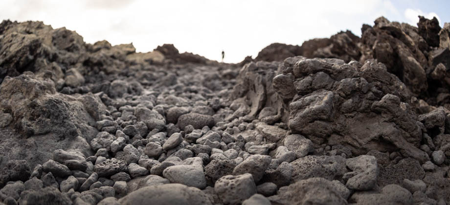


0
September 1, 2019
Posted by Ramon Fadli in Arid Desert, Astronomy, Canary Islands, Class 4, Day Hike, Hiking, Islands, IUCN Protected Category 2, Looped Hike, National Parks, Sclerophyll & Mediterranean Forests, Spain, Sunrise & Sunset, UNESCO, Volcanoes
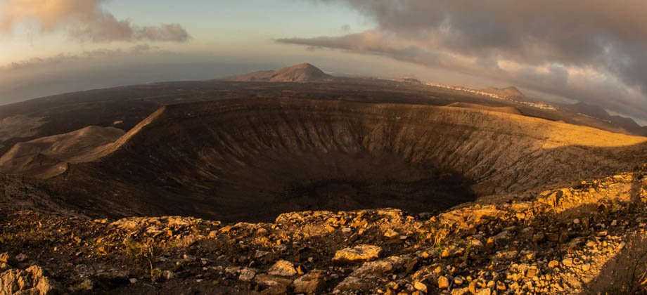
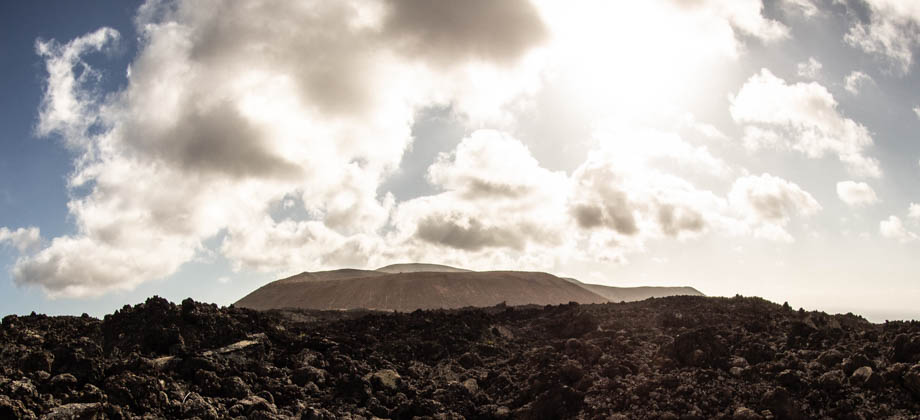
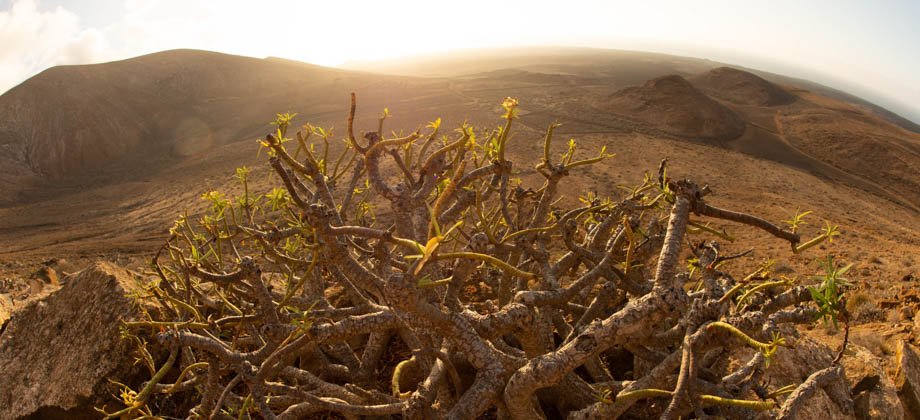
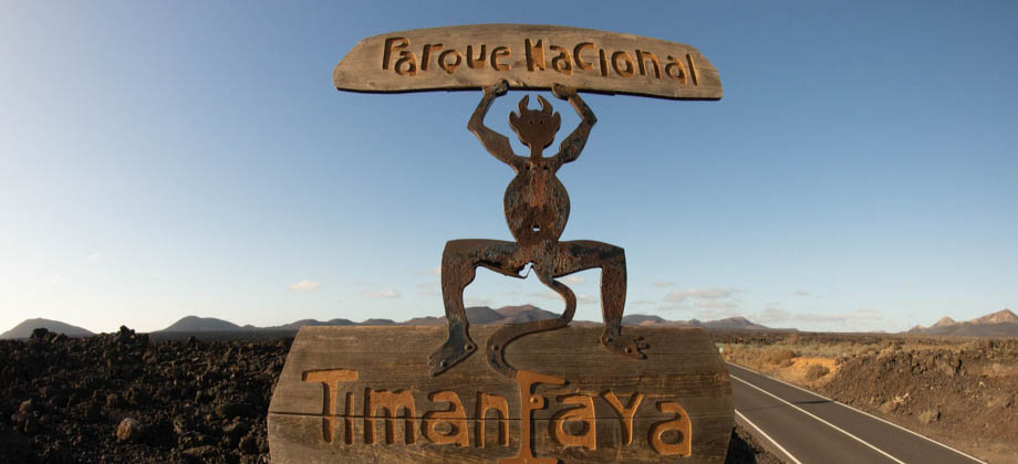
Caldera Blanca
Timanfaya National Park (Spanish: Parque nacional de Timanfaya) imposes strict regulations on visitors and does not allow them to wander around freely through the lava fields. This is done in order to reduce potential erosion from footfall to the vulnerable volcanic terrain. There is however, another protected area that surrounds Timanfaya National Park, which functions as a buffer zone of sorts, that is Read more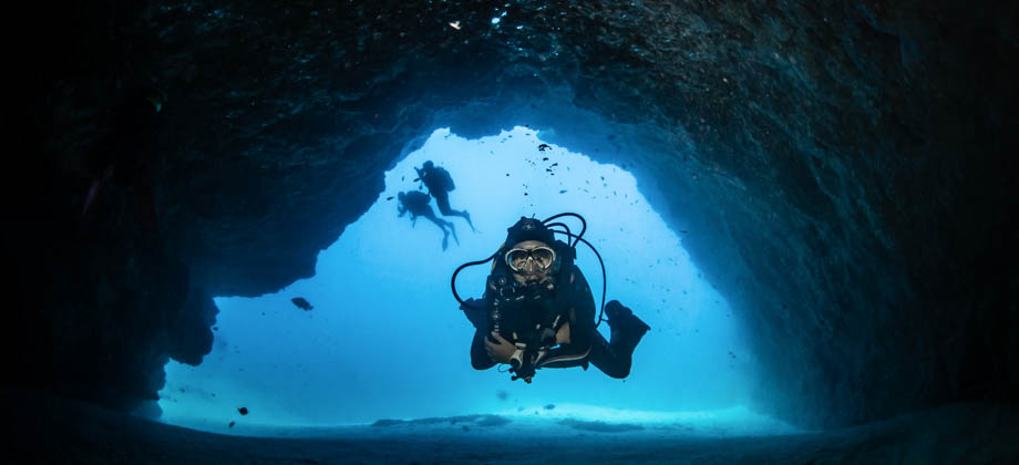


0
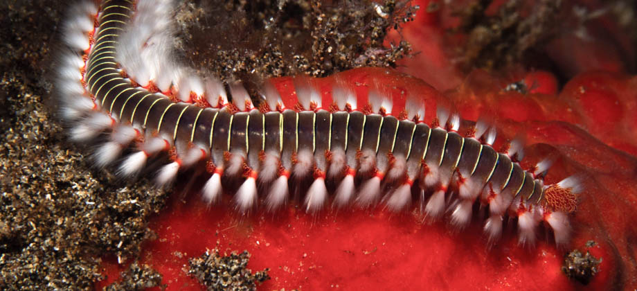
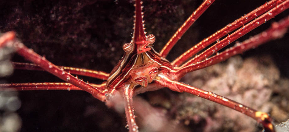
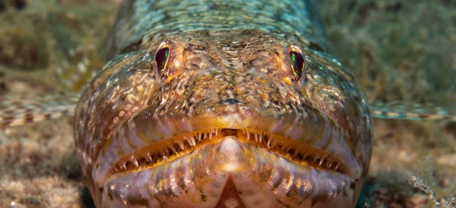
August 26, 2019
Posted by Ramon Fadli in Arid Desert, Canary Islands, Diving, Reefs, Sclerophyll & Mediterranean Forests, Spain, UNESCO
Diving Lanzarote
Volcanic oceanic islands emerge from the bottom of the ocean floor and grow until they break the surface of the water. Most often than not, only a small part of the volcanic structure is above sea level, and the vast majority of it remains submerged. This means that there are countless geological structures that are open to exploration to scuba divers--that is as long as they remain within recreational scuba depth Read more
0
August 23, 2019
Posted by Ramon Fadli in Arid Desert, Canary Islands, Islands, IUCN Protected Category 2, National Parks, Sclerophyll & Mediterranean Forests, Spain, UNESCO, Volcanoes
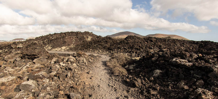
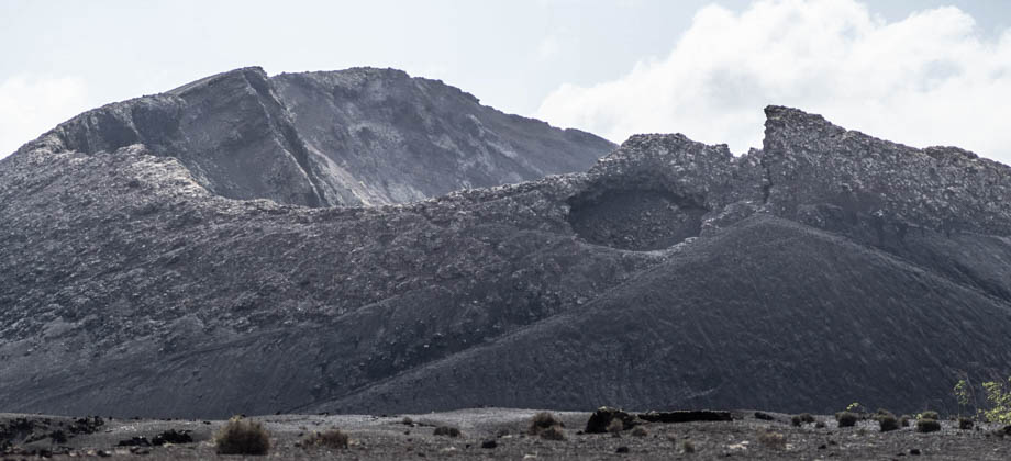
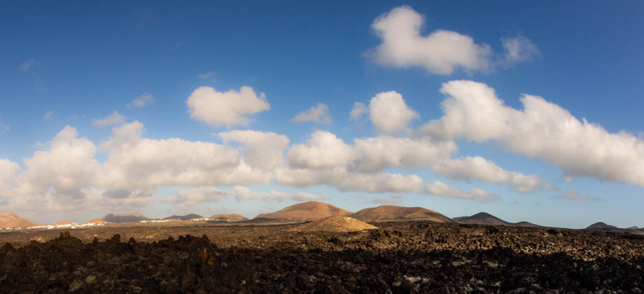
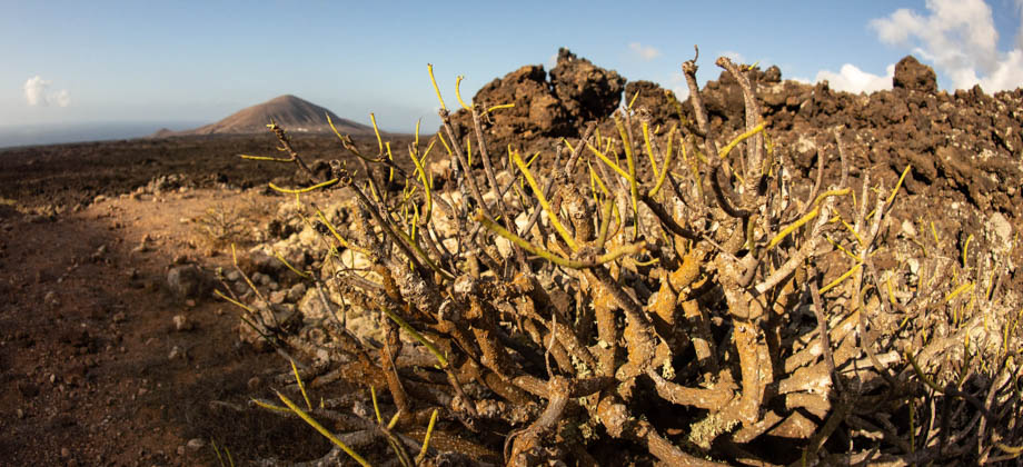
Volcanoes of Timanfaya
Lanzarote is an oceanic volcanic island of the Canary Islands archipelago, and is located only 125 kilometres off the coast of Africa. Despite this, the Canary Islands are an autonomous community of Spain, and along with the archipelagos of the Azores, Madeira, and Cape Verde, make up the region known as Macaronesia. Lanzarote stands out from the the other Canary Islands, however, as the combination of its arid Read more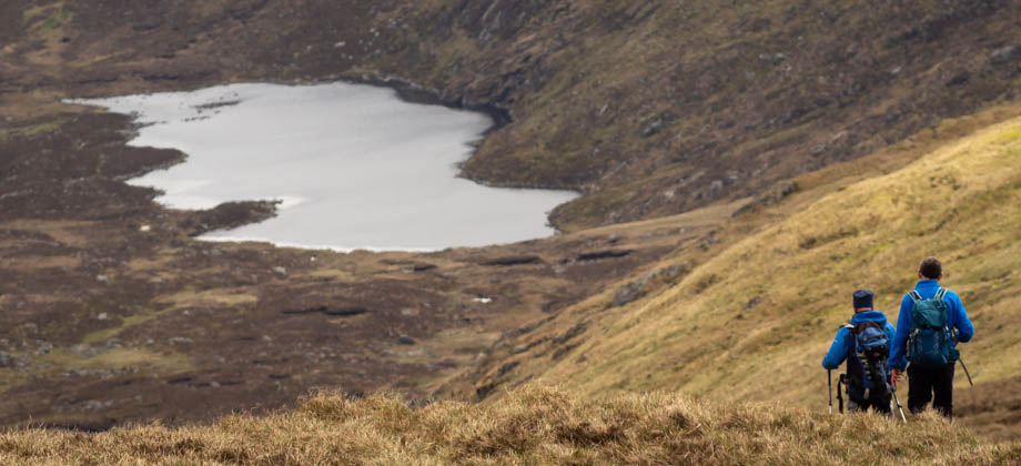
0
May 5, 2019
Posted by Ramon Fadli in Class 5, Day Hike, Hiking, Ireland, Looped Hike, Mountains, National Parks, Oceanic, Temperate Deciduous Forests, Wicklow
Lugnaquilla
Lugnaquilla is located in the Wicklow Mountains, and is the highest mountain in Ireland outside of County Kerry. Standing 925 metres-high with a prominence of 849 metres, Lugnaquilla qualifies as a furth and is the 63rd highest mountain (with a prominence of at least 600 m) in the islands of Ireland and Great Britain, sitting just one place ahead of Galtymore. Lugnaquilla is also known as the 'Lug', but despite the name Read more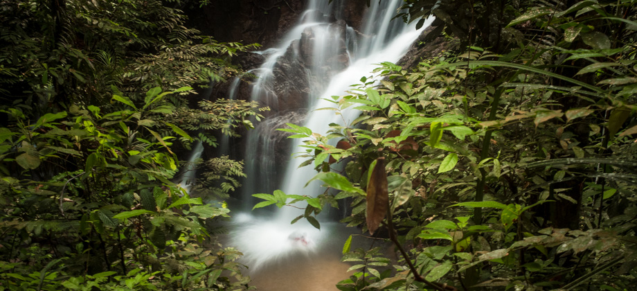
0
November 20, 2018
Posted by Ramon Fadli in Broadleaf Rainforests, Class 1, Day Hike, Hiking, IUCN Protected Category 2, Malaysia, Selangor, Tropical Rainforest, Waterfalls
Pisang Waterfall
The hike to Pisang waterfall is a quick and easy excursion that is not too far from the centre of Kuala Lumpur. The hike follows the Pisang river and as a result, has almost no elevation gain. This makes it perfect for beginner hikers or just for those who are looking for an easy weekend getaway. Its accessibility does unfortunately mean that the number of people that are likely to be encountered will be higher than Read more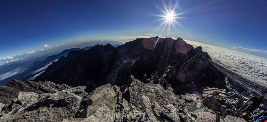


0
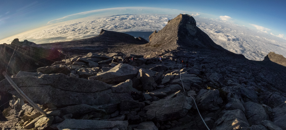
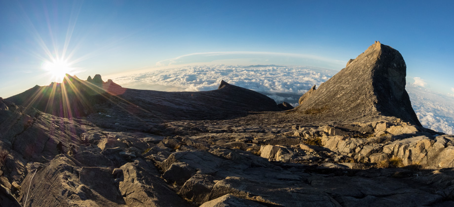
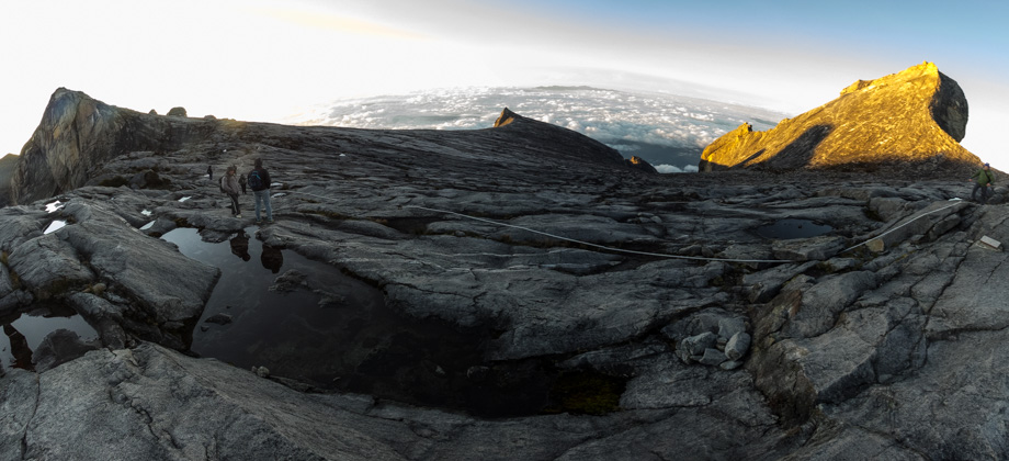
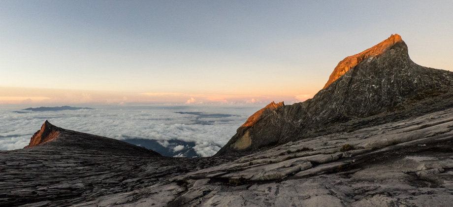
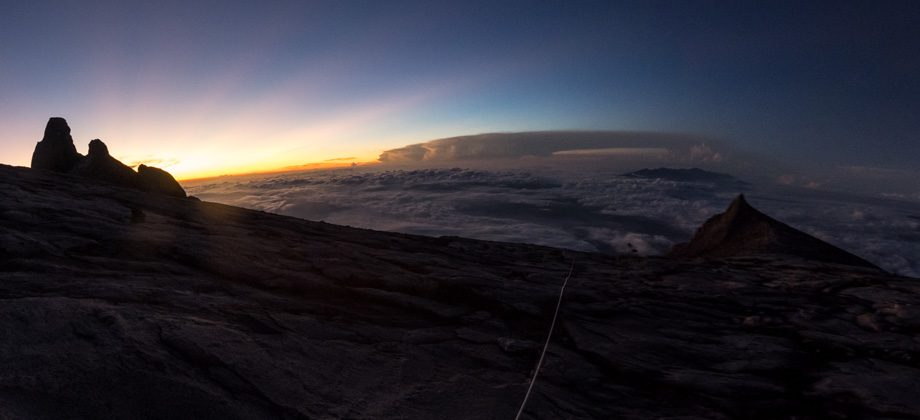
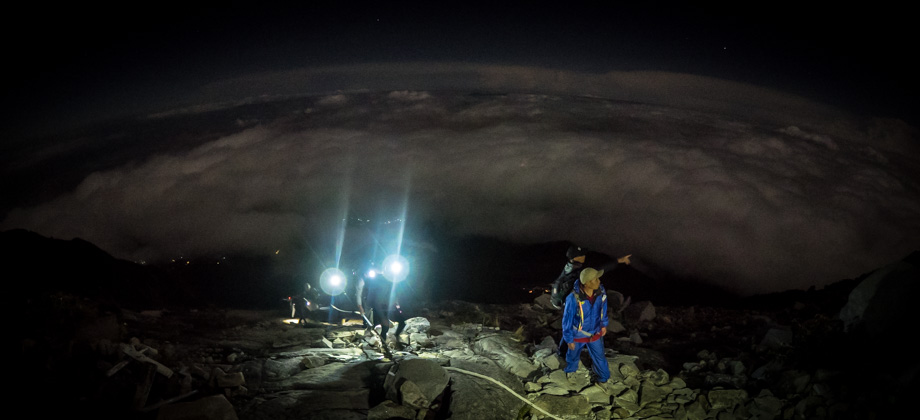
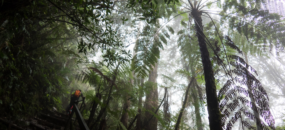
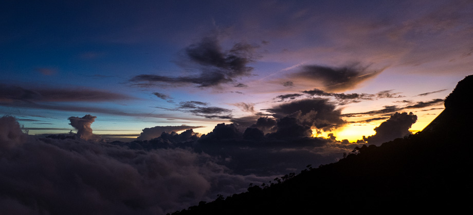
Kinabalu via Timpohon Day 2 - Low's Peak
No matter how early one goes to bed, one can never get enough sleep in Laban Rata (elevation : 3272m). 'Supper', which is a simple and light meal of bread, rice or noodles, is served at 02:00, and the hike to the summit starts in darkness not too long after. I joined a long procession of hikers that were armed with headlamps and bundled in jackets, that made their way up the trail, all of them eager to make the 1.5 Read more
0
Kinabalu via Timpohon Day 1 - To Laban Rata
We made our way to Timpohon Gate (elevation : 1866m) with perfect weather that morning, and sat in the shuttle van satiated after a heavy breakfast from Balsam Cafe. With both a packed lunch and our climbing permits in hand, we went to the counter to sign-in before we set off down the trail. By then, it was 09:10. The very wide 'trail' was more of a stairwell through the forest than an actual trail. It began Read more
0
October 25, 2018
Posted by Ramon Fadli in Alpine, Arctic & Antarctic Tundra, Broadleaf Rainforests, Class 6, Forests, Guided Hike, Hiking, IUCN Protected Category 2, Malaysia, Mountains, Multiday Hike, National Parks, Peak Labels, Sabah, Tropical Rainforest, UNESCO
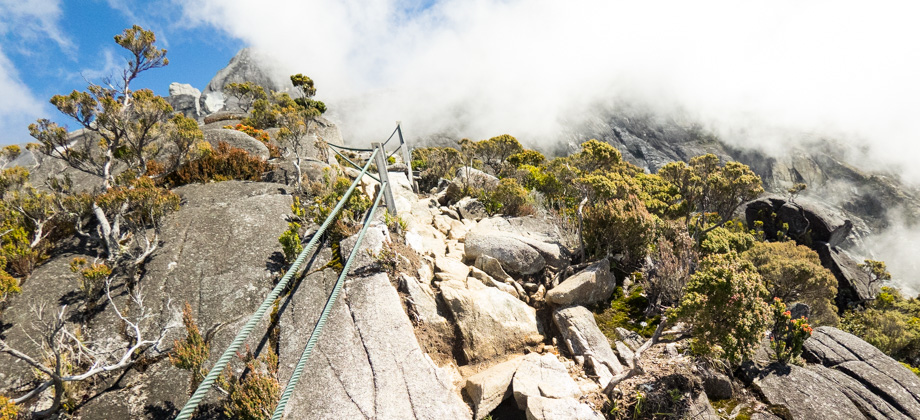
Mount Kinabalu
Mount Kinabalu (elevation : 4095 m) is the highest mountain in Malaysia (both by prominence as well as sheer elevation), and is also the highest mountain between the Himalayas and the island of New Guinea. Based on topographic prominence, Mount Kinabalu also happens to be the 20th highest mountain in the world, but only the second highest mountain in South-East Asia behind Puncak Jaya (elevation : 4884 m) Read more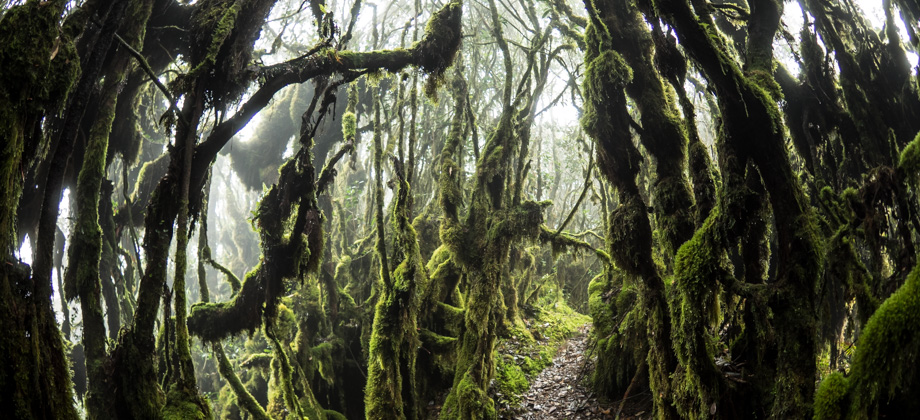


0
GBB (CUS Connection) - Day 5
The Bongok Hill plateau where we had spent the previous night turned out to not be the summit of the hill. The actual summit lay more than a kilometre further up the trail, which took us another half an hour to climb up to. A ridge that made its way westward led to the summit, and as we were following it, I felt a sharp piercing sensation on my forearm. As I looked down, a large insect that looked like an Asian Read more
0
GBB (CUS Connection) - Day 4
The early part of the day's trail was confusing at best. The water-point from 'Kem Sarsi' was a small stream that could be reached with a five minute downhill walk via at least four left turnings just after the campsite. The trail that continued on from there was through a convoluted mixture of turns that went down the same path, but the 'combination' was left, left, right, then left, instead. We packed up and Read more
0
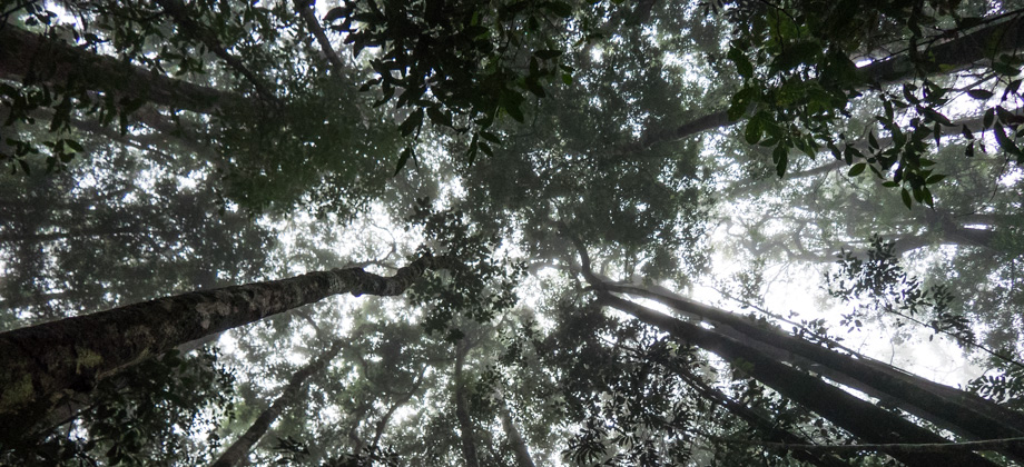
GBB (CUS Connection) - Day 3
We packed up camp in a dense soupy mist that morning as siamang gibbons (Symphalangus syndactylus) howled and hooted off to the south. The others played music once again as they took their sweet time to get ready. All we could do was wait in exasperation as their music once again drowned out the tranquil sounds of the forest. We finally set off a few hours later at 10:20, and by then the howls of the Read more
0
GBB (CUS Connection) - Day 2
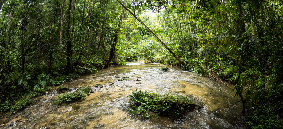
We finally began the day's hike after an agonising wait for the rest of the group, who spent the morning dilly-dallying as if they had all the time in the world. We left at 10:15, more than two hours later than had been planned, and made our way down to the river that flanked the 'Rata Air' campsite. The riverside was quite scenic in the daylight, and the sunlight glinted off the pools of water that were partially barricaded Read more
0
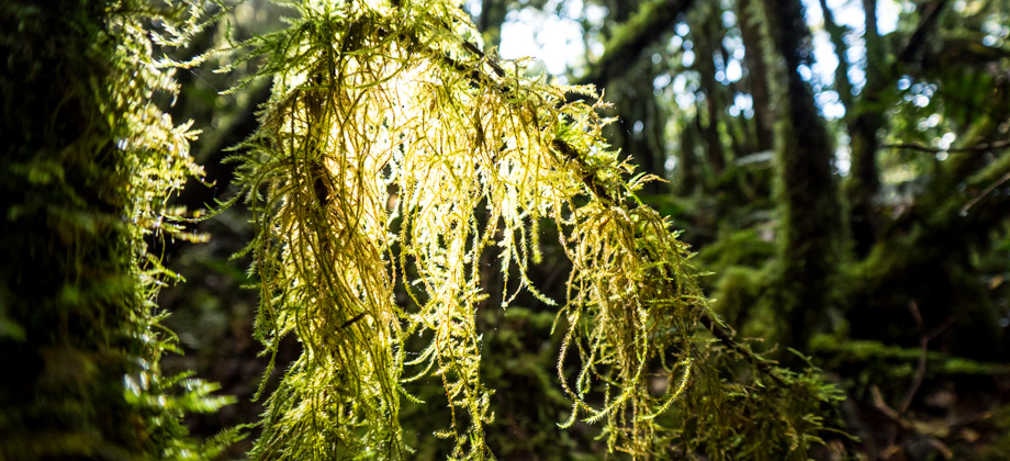
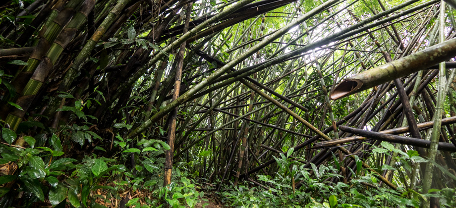
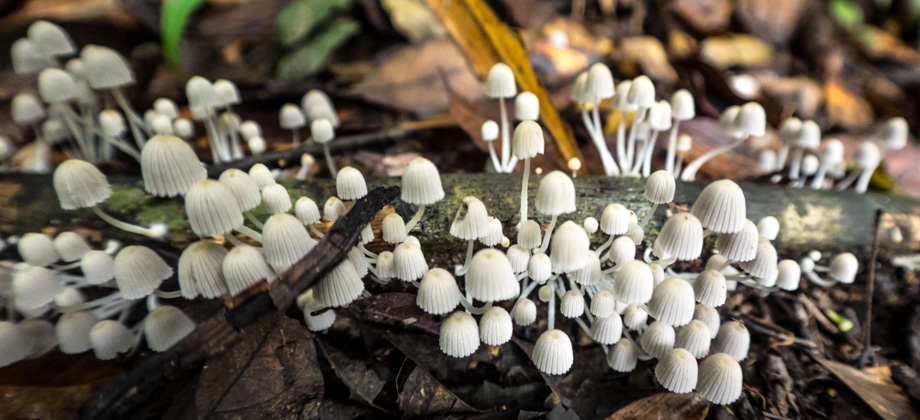
GBB (CUS Connection) - Day 1
The day began with an arduous five-hour long journey from Kuala Betis in the back of a 4WD vehicle. The destination was a small village called Dakoh that was located within the Temiar settlement known as Pos Balar. The journey first took us deep inside palm oil estates along deeply rutted mud roads, and then into overgrown areas of fern and bamboo. Low-lying vines and branches arched over the road and Read more
1
October 5, 2018
Posted by Ramon Fadli in Broadleaf Rainforests, Camping, Class 7, Forests, Guided Hike, Hiking, Kelantan, Malaysia, Mountains, Multiday Hike, Perak, Tropical Rainforest
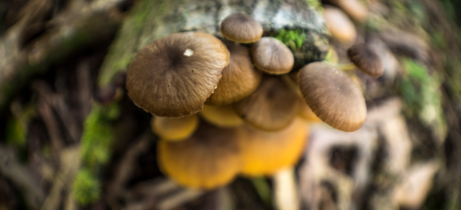
GBB (CUS Connection)
The hike to Mount Gerah (elevation : 2103m), the 13th or 17th highest mountain in Malaysia (based on prominence or sheer elevation respectively), almost always covers its sibling-peaks as well: Mount Bilah (elevation : 2077m) and Mount Bieh (elevation : 2073m); and is always referred to as 'GBB'. While the GBB hike normally begins and ends at the Temiar settlement of Pos Kemar just south of Temengor Read more
0
October 4, 2018
Posted by Ramon Fadli in Broadleaf Rainforests, Forests, Hiking, Kelantan, Malaysia, Perak, Tropical Rainforest
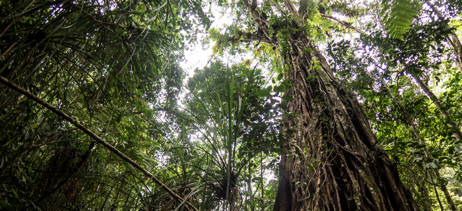
Titiwangsa Range
The Titiwangsa Range forms the spine of Peninsular Malaysia and divides it naturally into the east and west coastal regions. The main section of the range runs along the border that separates the state of Perak in the west and Kelantan in the east. As you make your way up north along the state border, you will eventually come across two protected areas: Stong State Park on the east, and Royal Belum State Park on Read more


0
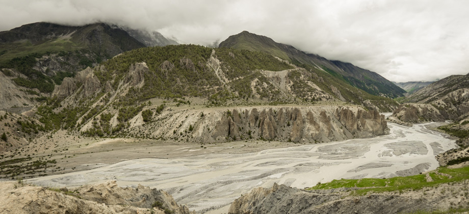
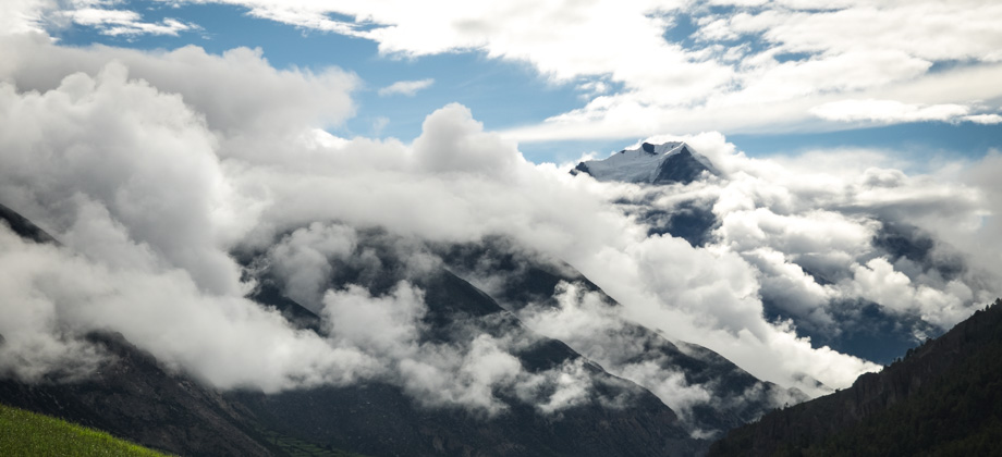
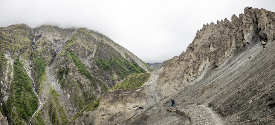
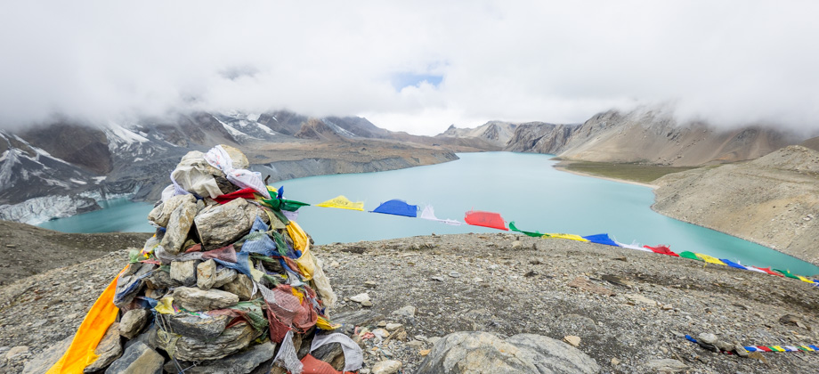
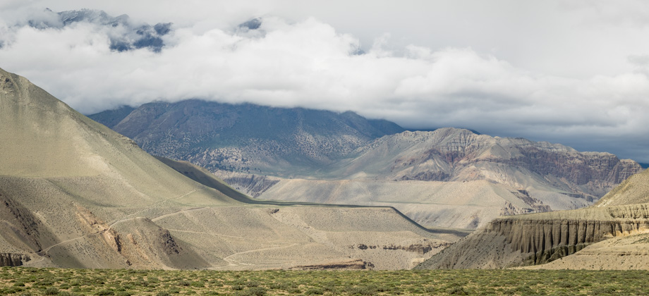
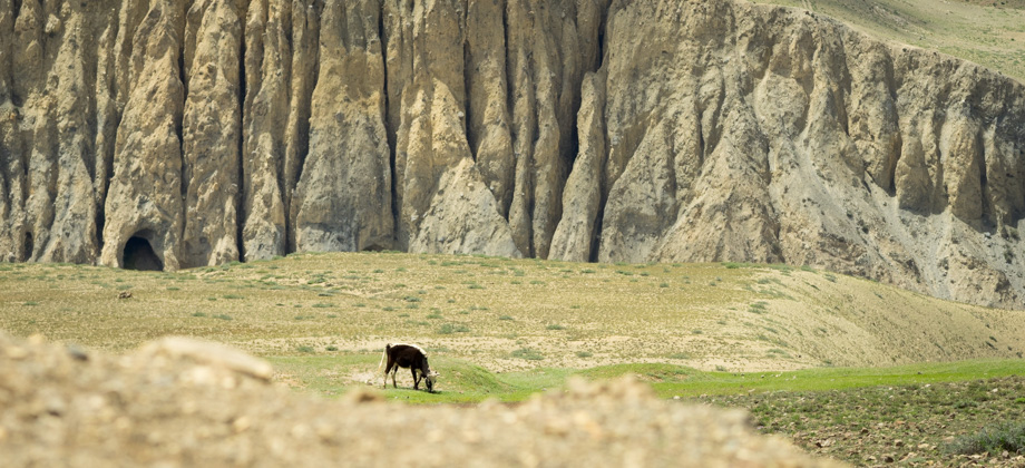
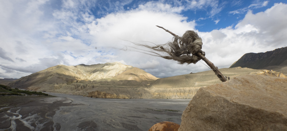
ACT Day 15 - Kagbeni to Jomsom
We left Kagbeni (elevation : 2800 m) at 08:00, which was the latest recommended time to avoid the blistering Kali Gandaki wind that was bound to build up later that day. All we really had to do before we left the guesthouse was to repack and freshen up, as we decided to skip breakfast and instead have a much larger meal for lunch later on in Jomsom (elevation : 2720 m). The water pressure the night before had also Read more
0