
Mount Nuang (Janda Baik)
A Blanket of Mist
The mist began to roll in just before we reached the Nuang/Repin crossroads (5.1 km mark) at 10:30. The left branch continued up to Mt. Nuang whilst the right branch, that was at that time cordoned off by tape, made its way towards Mt. Repin (elevation : 1300 m). This was also the point where the trail met the Pahang-Selangor border, and would follow it Eastwards, past border stones, all the way to the summit of Mt. Nuang.

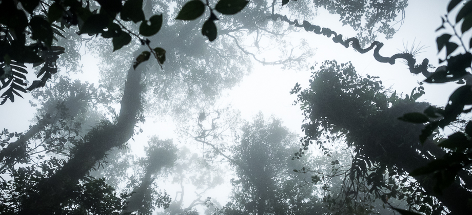
We reached the large boulder that marks the final ascent up to the summit about half an hour later at the 5.5 km mark. We skirted around the left side of the boulder and continued up to a shoulder that then began to descend down after about 30 metres or so to the next boulder. This boulder (5.8 km mark) was accompanied by ropes that had been put in place to assist hikers up the sheer ascent. Almost immediately after, we came upon a ridge of sorts that we had to cross. Here the temperature plummeted as the wind rushed in, bringing with it heavy mist that ended up blanketing us. It began to drizzle once again as we made our way up and over to the Nuang Triangulation point (elevation : 1493 m).

To my great annoyance, I found the summit to be absolutely packed with people. I descended slightly to find some space to start cooking my well-deserved meal before heading all the way back down again, the entire hike from start to finish taking a little over 8 hours.
Route Playback


")
