July 6, 2017
Posted by Ramon Fadli in Broadleaf Rainforests, Kedah, Malaysia, Tropical Monsoon, UNESCO
Langkawi
Langkawi
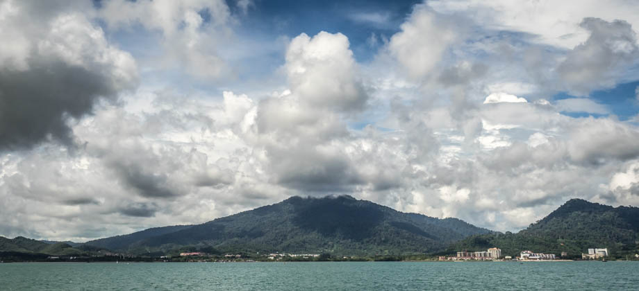
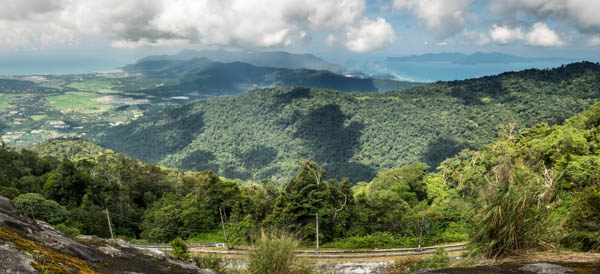
 Langkawi is an archipelago in the Andaman Sea that consists of more than a hundred islands that are blanketed in 10-million-year-old rainforests and smatterings of barren rock that poke through the vast tree canopy. The rock formations that can be found here consist mainly of hard granite that make up the spine of the main island and give rise to both Mount Raya (elevation : 881 m) and Sawar Hill, as well as much older sandstone formations in the north-west of the main island. These sandstone formations give rise to the Machinchang mountain range and are the oldest rock formations in South-East Asia, dating as far back as half a billion years. The Machinchang mountain range is also where, as one would expect, Mount Mat Chinchang (elevation : 701 m) is located. The fringes of the islands, on the other hand, consist of mangrove forests and sandy beaches. Jagged limestone formations, from ridges to sea stacks and pinnacles, that have been weathered and dissolved by the elements over time, also decorate the coastlines of the islands.
Emergency Numbers
Wildlife Crime Hotline 019-356 4194 Wildlife Department 1800 885 151 Langkawi Forestry Department 04–9666 835 Langkawi Hospital 04-966 3333 Langkawi Bomba (Fire Department) 04-969 3004 Langkawi Rescue Department 04-966 3434 Langkawi Police Station 04-9666 222
Eagle Feeding
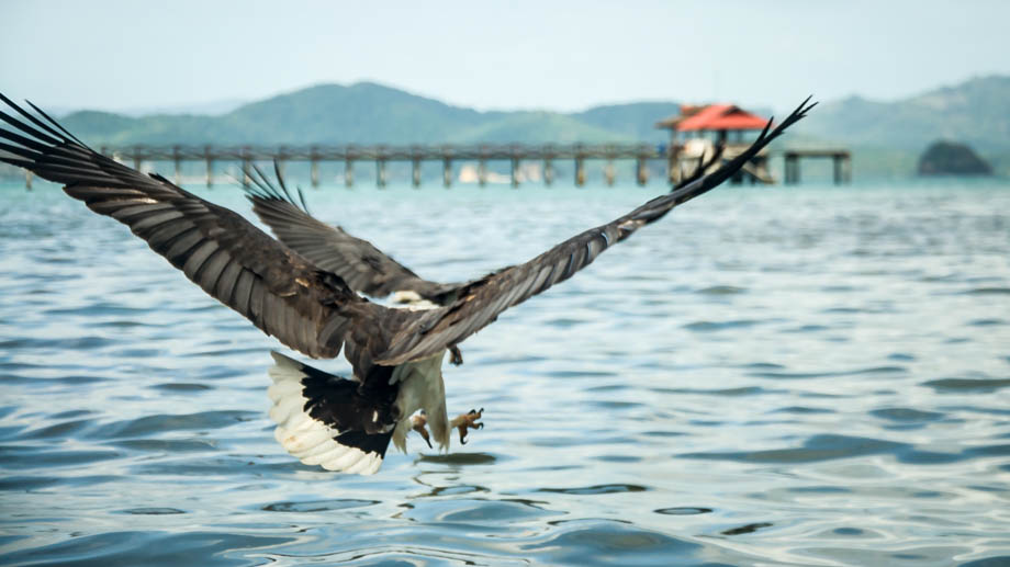
There have been concerns in recent years, however, that have been significant enough to put Langkawi's Global Geopark status in serious jeopardy. There are numerous issues for this, such as bad waste management from the hotels that line the beach fronts to the use of jetskis and oil-emitting two-stroke boat engines in delicate mangrove ecosystems. None of these issues have garnered as much attention as eagle feeding has, however. Langkawi is a bird watchers' paradise, and is considered home to as many as twenty different species of birds of prey. The two most common ones are the white-bellied sea eagle (Haliaeetus leucogaster), with its loud honking call, and the brahminy kite (Haliastur indus). The latters' reddish colour is one of the leading explanations as to how Langkawi got its name--a combination of 'eagle' (Malay: Helang) and an ochre colour (Old Malay: Kawi). Boatloads of tourists head out frequently to watch these majestic birds being fed with unhealthy chicken skin and fat. This feeding not only leads to malnourished chicks, but also to a dependency on humans that, in the long run, may deprive younger birds of the knowledge to hunt.


Wendy Chin
Website: https://www.wendynatureguide.com E-Mail: wendynatureguide@gmail.com Telephone: +6012-595 2906 / +6011-232 36728 (WA)Junglewalla
Website: https://junglewalla.com E-Mail: hello@junglewalla.com Telephone: +6012 487 0600 / +6019 590 2300 (WA)Next : The Giants of Langkawi
Malaysia Overview


