


Murchison River Gorge - Day 5
Murchison River Gorge Index
The Group Splits
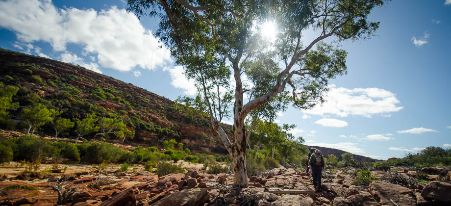
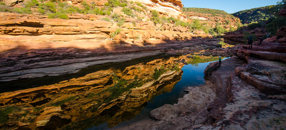
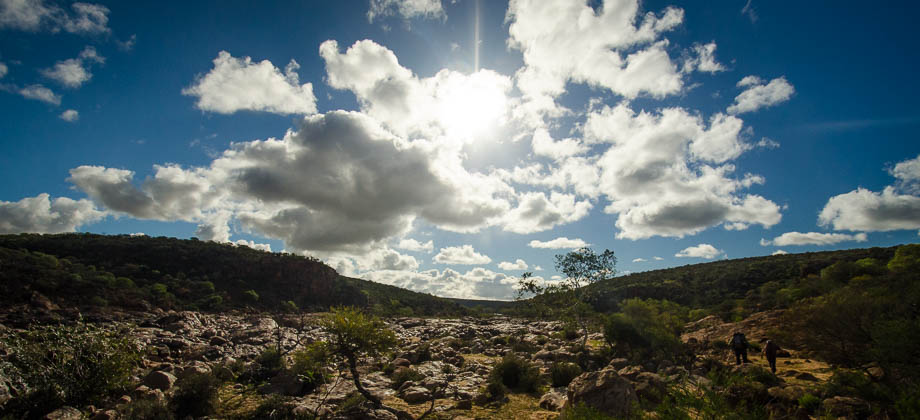
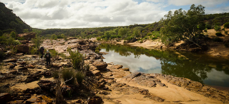
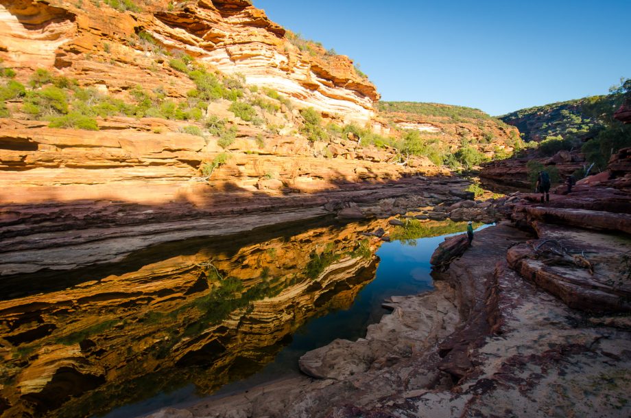 In order to head up to the food drop, we had to branch off left to walk up a side gorge just under one kilometre from where we had camped the previous night. It was just a short scramble up some scree, past a commercial abseiling group, through a narrow cut in the rocks with sheer walls on both sides and up a stairwell that lay at the end. The track then lead down to a junction, where we found a signpost that stated that the route that we had just taken was aptly called the 'Gorge Trail' and was two kilometres long (2 km to return to the crossroads, and 2.6 km to return to the carpark). The two hour estimate that was given seemed very conservative though, especially considering that we had only taken 15 minutes to climb up.
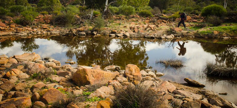
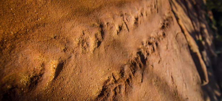
 I turned right at the junction to head over to the Z-Bend Lookout, and found a fairly large slab that had the fossilised tracks of an Eurypterid (Order: Eurypterida) imprinted into it. The Eurypterids, also known as Sea Scorpions (a misnomer considering that they were not true scorpions, nor did they all come from the sea), are an extinct group of arthropods and are known to be one the earliest land dwellers (late Permian - 460 to 248 million years ago). They are thought to have been amphibious and likely caused fossilised tracks (like the one that was imprinted in the slab) when moving from one pool to another.
Z-Bend Lookout
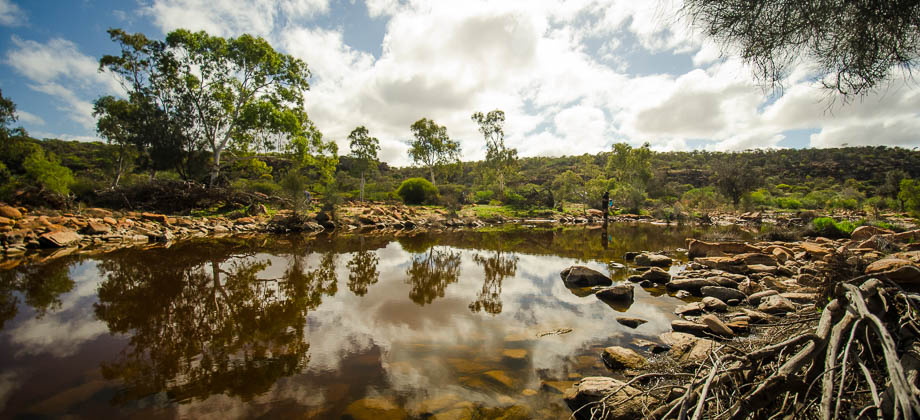
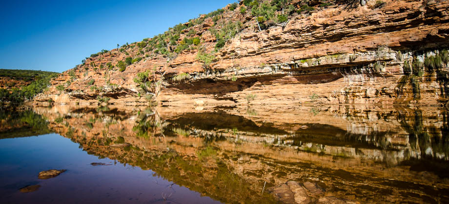
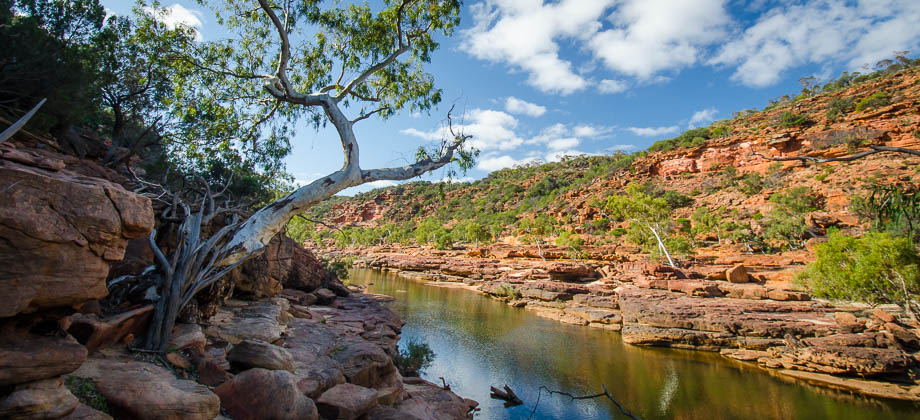
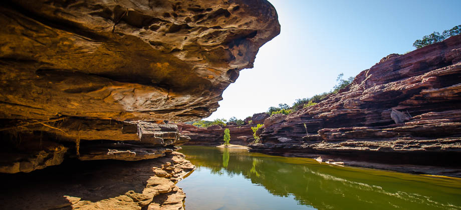
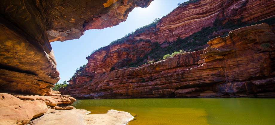
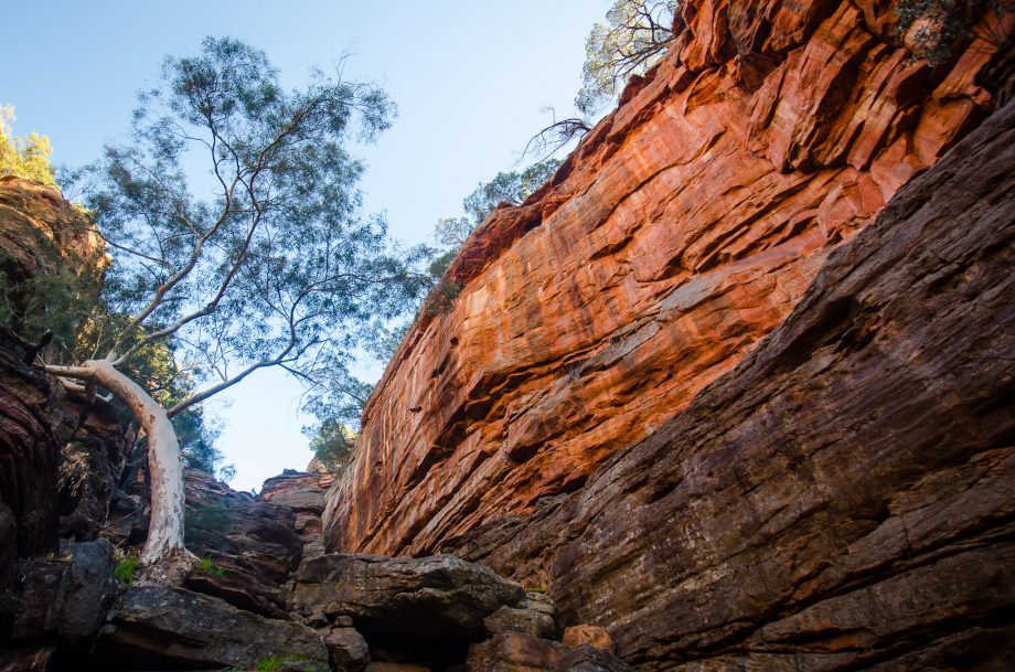
Just beyond the slab was the viewpoint - a fenced area that showcased the impressive 180 degree bend of the canyon, a bend caused by 'joints' that intersected each other in the sandstone. The river generally follows a path that leads in roughly the same direction by following these 'joints', the path of least resistance if you will; but when two of these 'joints' intersect, the river can abruptly change direction and follow a joint that runs perpendicular to the one that it was previously on.


