Mount Stong, Mount Ayam, and Mount Baha
The Peaks of Mount Baha & Ayam
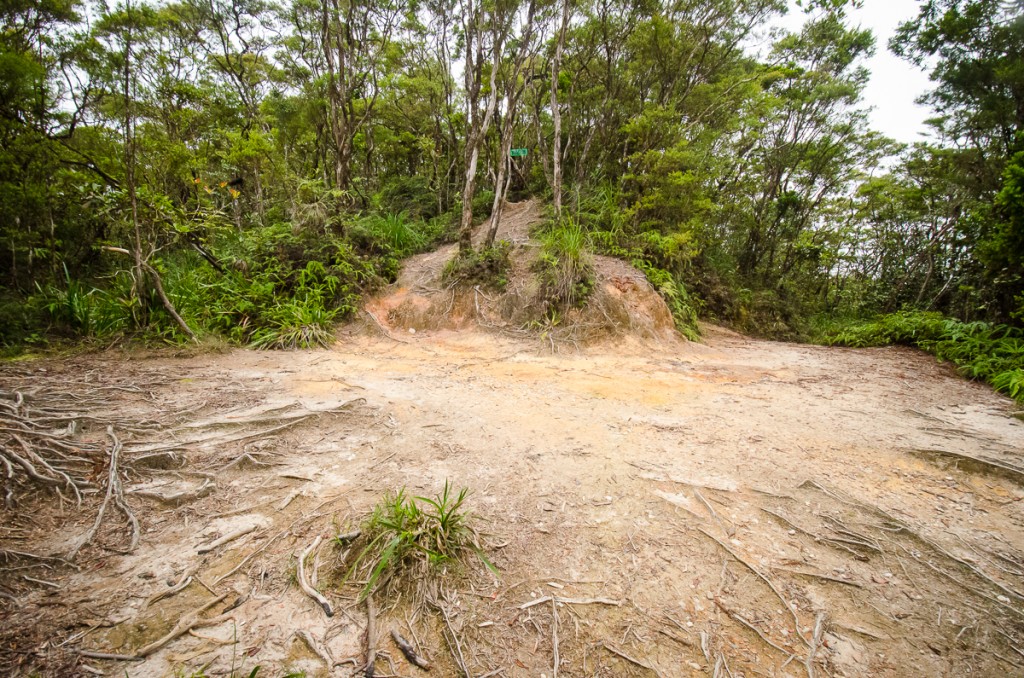
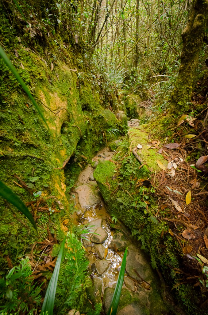
The incline from this point increased suddenly for a short span of climbing up and over roots before leveling off slightly before the trail began to veer north-west. As we reached an altitude of about 1400 metres, I noticed a marked increase in the prevalence of epiphytic plants such as moss. We reached the rather unremarkable peak of Mount Baha (elevation : 1450 m) after covering a distance of 4.5 km which took 2:35'34.

 Since the peak of Mount Ayam was only 700 metres away (20 minutes or so of trekking) from that point, we continued on after a short break and found that there was a viewpoint to the right just after the peak of Mount Baha with views of Mount Che Tahir (one of the peaks on the G100 list) that lay to the north with its rather conspicuous rocky patch on one of its faces.
There were a few trails around the 4.8 km mark that branched off and diverged from the main trail and seemed to head in the same direction that we were to take on our way back that lead down the saddle of Mount Ayam and up the side of Mount Stong. There were also numerous smaller trails that diverged that could possibly be animal tracks, most of which seemed to converge back on the main trail after a short distance. Some of the larger paths had been blocked off by branches to ensure that trekkers didn't head down the wrong path by mistake.
There was also supposed to be a 'last water point' (LWP) somewhere between the two peaks of Baha and Ayam but we never managed to locate it. We found an area that could have potentially lead to the LWP but after following the trail that branched off for some distance, we only found small isolated pools of water (practically puddles) and nothing substantial. Pairs of hornbills (Family: Bucerotidae) flew above us on several occasions but were hard to identify as only their black underside were visible. The noise that the flapping of their wings made suggested a fairly large wingspan which meant that they could easily have been from the Buceros genus.
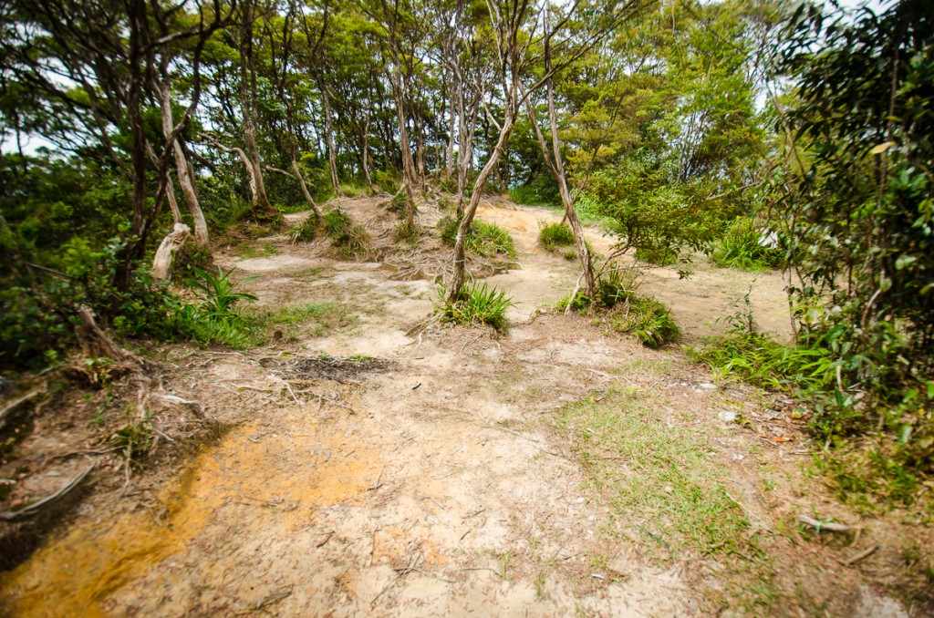
We reached the peak of Mount Ayam (elevation : 1500 m) after just over 3 hours of trekking (covering a distance of 5.3 km) and found to our dismay that the peak was just as unremarkable as the peak of Mount Baha had been. The only difference was an over-turned tree with exposed roots and a shattered green summit marker.


The peak of Mount Ayam did not have enough flat ground for camping but we found soon after that continuing just 3 minutes along the trail would lead you to another much larger clearing that had obviously been used as a campsite before.


