Mount Stong, Mount Ayam, and Mount Baha
Mount Stong
We made our way back to the crossroads where we turned right and began to head south down the saddle of Mount Ayam. We descended a total of 260 metres to reach the low-point of the saddle which had an altitude of 1239m after 3 hours 47 minutes of trekking and after covering a distance of 6.6 km. The ascent began immediately after that amongst a tangle of trails that converged and diverged as we made our way up Mount Stong. The name 'Stong' is reputed to have been derived from the word 'stone' and that the Kelantan manner of pronouncing words that end with an 'n' has caused the word to be spelt with an 'ng' instead.
The peak of Mount Stong (elevation : 1420 m) was reached after 4 hours and 15 minutes of trekking (7.3 km) and consisted of a large dome-shaped granite boulder that had apparently been dated to more than 500 million years old. Jenna and I almost walked past it had it not been for Taner who had gone on ahead and had let off a snicker as we passed underneath.
The climb up the boulder was done using little niches in the rock for footholds and exposed roots for handholds. The summit itself was a bare patch of earth surrounded by a ring of strange trees with twisted branches and was surprisingly serene (despite the lack of a view) that we all just lay back for a while to take in the atmosphere.


The descent from the peak began with large swaths of flat stony slabs that eventually made way for tangles of roots. At this point I was almost devoid of water as our previous attempts at locating the LWP had been unsuccessful, and as such water was one of the only things on my mind as we quickly made our descent. To my immense relief, we came across a small stream approximately 8.9 km in, where we all stopped for a while to restock our water supply and to re-hydrate.


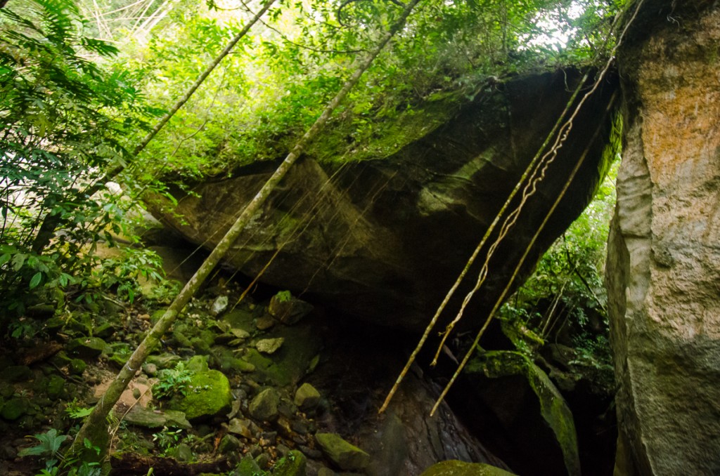
We came upon the cave where we had intended to spend the night in the original plan (which was known as 'Gua Bogor') after having trekked a distance of nine kilometres. The cave was not actually a cave as it was just a space in-between two very large boulders that were propped up on each other. There was also a river running to the side of the so-called 'cave' which would have made it an ideal place for camping.
We reached the original junction between Mount Stong and Mount Ayam after 5 minutes of trekking from the cave (which funnily enough now had the Mount Ayam fork barred), and reached Baha Camp half an hour after that. The total time spent trekking was 5 hours and 57 minutes and we had covered a total distance of 11.3 km.


