
Cameron Highland's Trail 9A
Cameron Highlands Index
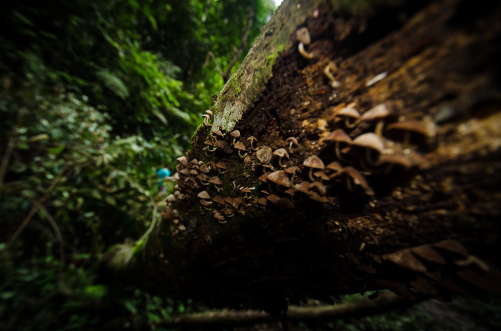
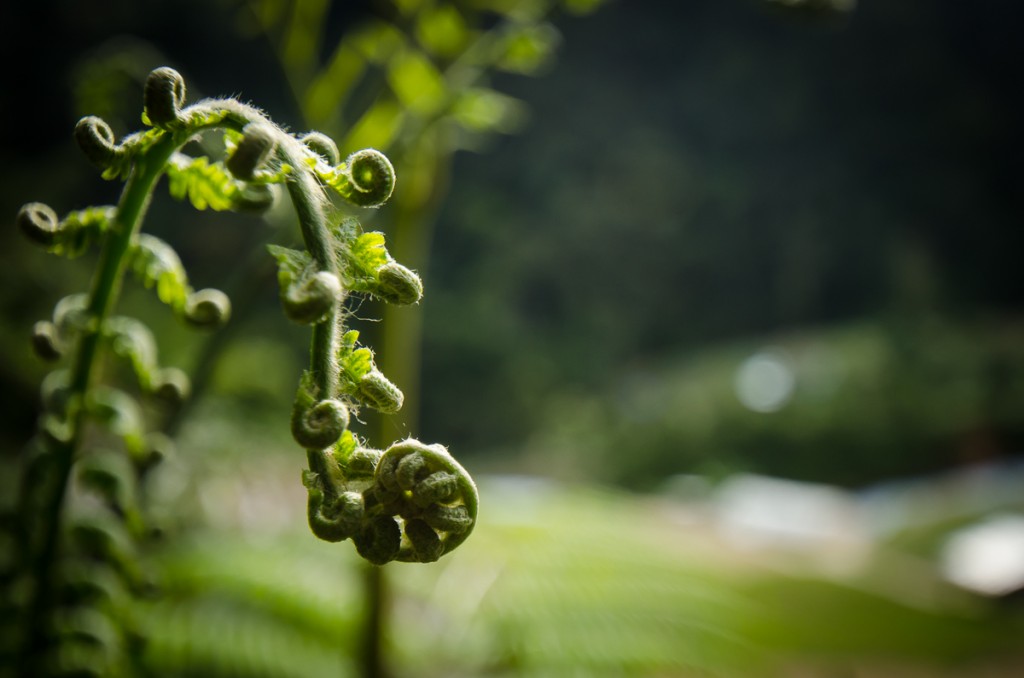
Trail 9A
The initial plan was to head for the Robinson Waterfall for some rest and relaxation after the morning's trek to Mount Brinchang. The beginning of trail 9 that lead to the waterfall began at the side of a road that lay nearby the MARDI center (conducts research in agriculture, food and agro-based industries), just after turning right at a T-junction before one reaches the hospital.
Before we go on, please jot down the numbers that are listed below. If you do see any suspicious behaviour when out hiking, encounter things like traps and snares, or even see protected animals or their parts that are sold as either collectibles, pets, or for (so-called) medicine, then please do not hesitate to contact the wildlife crime hotline. Be sure to try and document it as best you can with photos or video without putting yourself in danger, and take note of the details: descriptions of those who are involved, as well as when and where it took place."The Wildlife Crime Hotline, managed by the Malaysian Conservation Alliance for Tigers (MYCAT), provides YOU an avenue to report offences involving endangered wildlife in Malaysia. We protect the identity of all informants, only key info of the reports are forwarded to the authorities."
Emergency Numbers
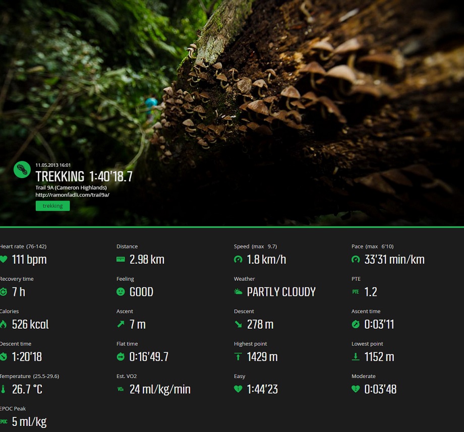
Wildlife Crime Hotline 019-356 4194 Wildlife Department 1800 885 151 Cameron Highlands Forestry Department 09–3551 060 Cameron Highlands Hospital 05-4911 966 Cameron Highlands Bomba 09-4911 003 Tanah Rata Police Station 05-4915 443 Ringlet Police Station 05-4956 222 Kg. Raja Police Station 05-4981 222 JKR Cameron Highlands 05-4911 105Difficulty Rating : 1.8 / 10.0
(Class 1 - Extremely Straightforward)
Getting There
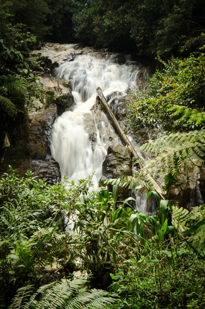 Whilst we were passing the waterfall however we began to realize that the number of people that were already present were far greater than we had anticipated (probably due to the fact that it was a weekend). To make matters worse, we also noticed a large amount of rubbish and debris swirling about near the rocks on the banks of the waterfall. We decided to instead carry on with the trek and see where the trail lead us.
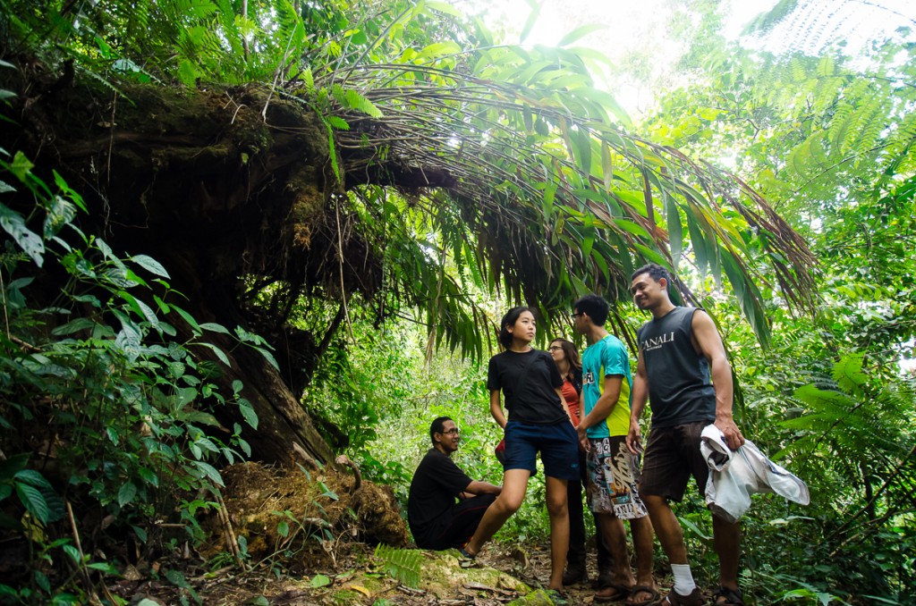
The trek was an extremely easy and relaxed one with a trail that was wide on easy terrain with a gradual decline almost the entire way. The total descent for the entire trail was 278 metres covering a distance just shy of three kilometres. There was a point along the trail that branched off to the left leading to Trail 8 that would have lead to Mount Berembun had we followed it. About 15 minutes after passing the waterfall, trail 9 branches off at a metal gate where the trail leading left leads onwards to trail 9a. The trail on the right however continues on to a power station.
Progress was very slow at points as there were parts of the trail that were bottle-necked when other trekkers in front of us found certain sections to be troublesome. The bottlenecks became a lot worse towards the end of the trail as it became a little more tricky, to the point where previous trekkers had put up some warning signs for those who were with children. These section would not prove to be a problem to seasoned trekkers however.
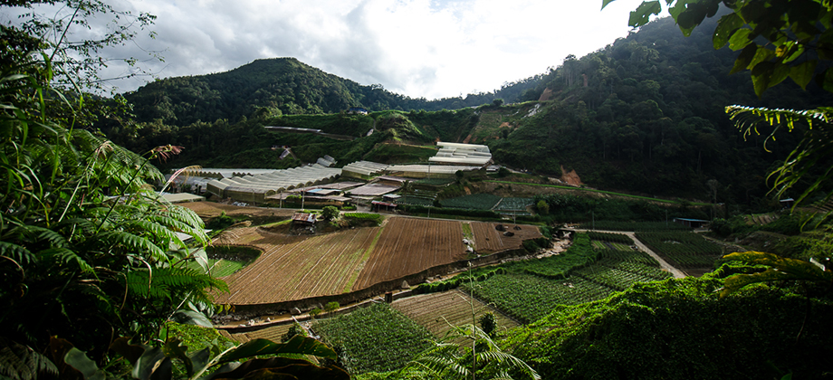
The trail ends at a plantation which then goes on to lead to Boh Road. Turning left at this point would have lead us to the Boh Tea Estate after about three kilometres of walking. We turned right instead which lead us down to the main road of the town of Habu where we found bus stops alongside the road. By the time we got there however it was fairly late and we found that there were no further buses that lead back to Tanah Rata. As a result, we ended up having to hitchhike back to town.
Route Playback
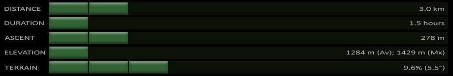
Suunto Movescount Stats

Malaysia Overview


