Mount Irau
Mount Irau False Peak
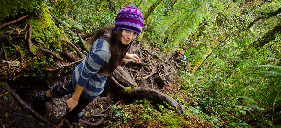
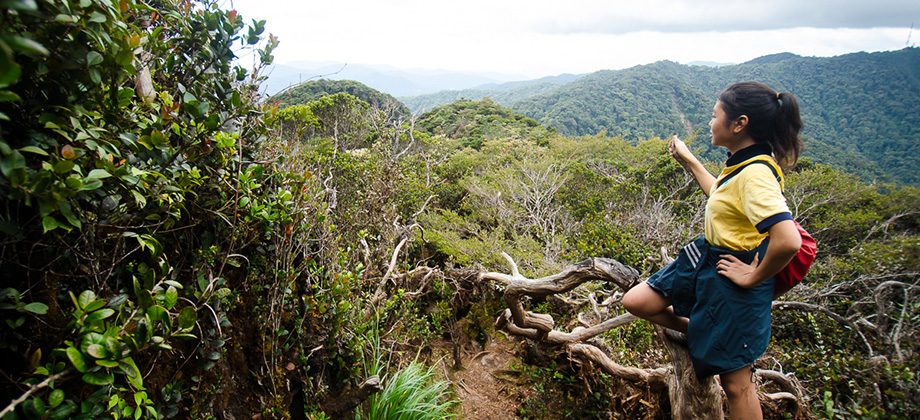
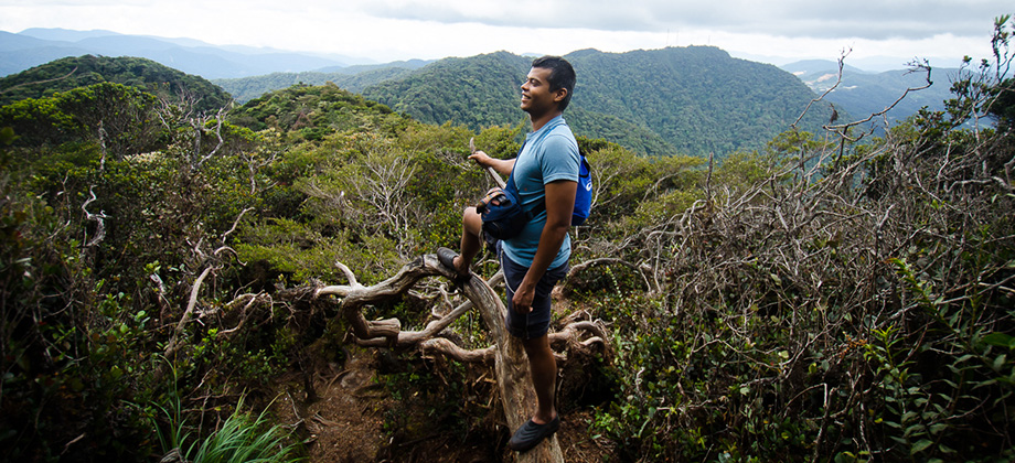
We reached the false peak, often referred to as 'Mini Irau' or 'Anak Irau' after a solid 2 hours of trekking. Just before reaching the peak however, there was an inclination of roughly 400 metres or so (took about 30 minutes) as we made our way up Mount Irau after having left the saddle between the two mountains. Mini Irau itself was a clearing that was wide enough to accommodate a fairly large group of campers, although not necessarily a group with hammocks as there was a conspicuous solitary tree in the middle of the clearing with a demarcation consisting almost entirely of non-hammock friendly shrubbery. There was a yellow sign that marked an elevation of 6666 feet which was shamefully absent of a metric equivalent, the imperial system of units being another nonsensical and archaic remnant of the British colonial empire.
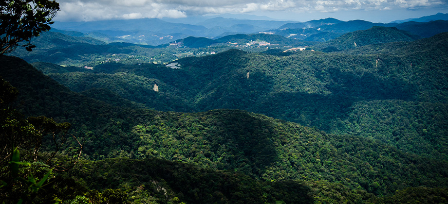
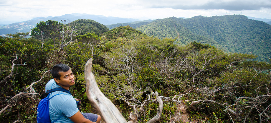
The path that lead onwards to the peak of Mount Irau lay just to the left of the path that lead to Mini Irau and could easily have been missed had it not been for the trail markers that were visible. From that point there was a slight descent, followed by an immediate ascent of 128m that stretched just over a kilometre. The trail had a few gaps in the foliage on the left where one could glimpse the rolling hills that lay to the south with the dark shadows cast by the clouds above moving almost lethargically across them.


The Mossy Forest
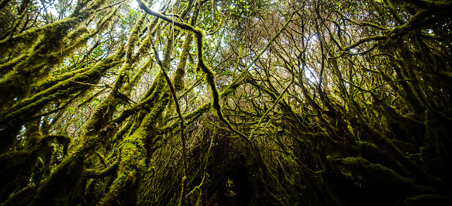
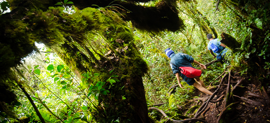
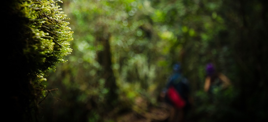
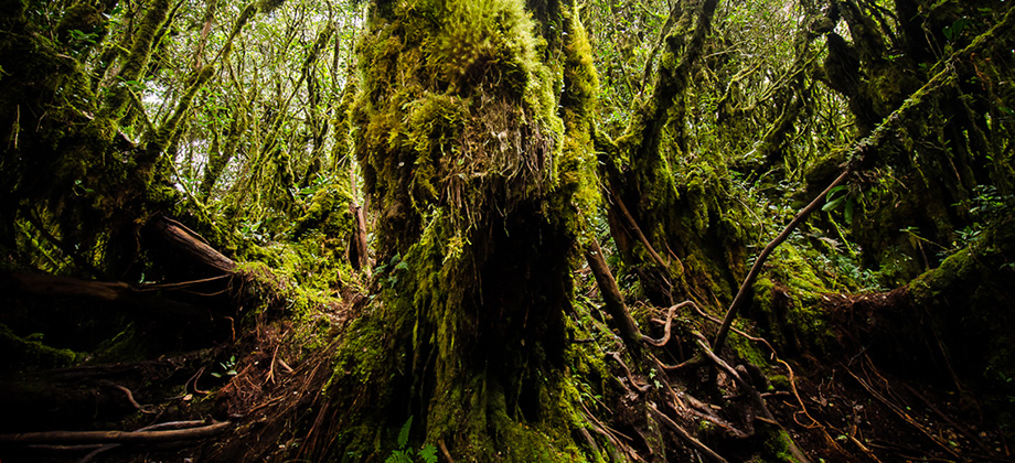
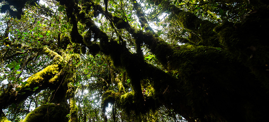
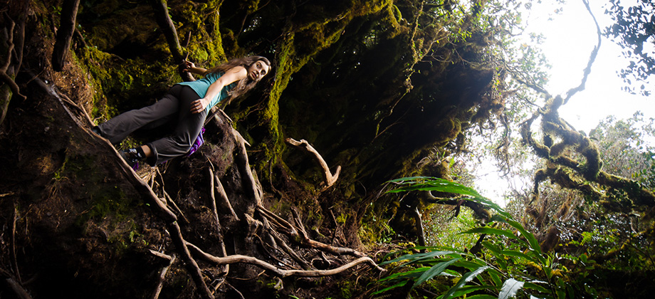
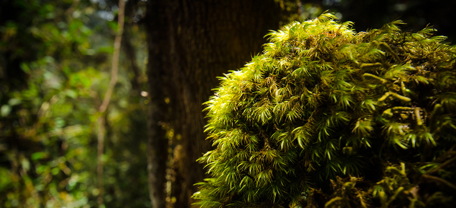
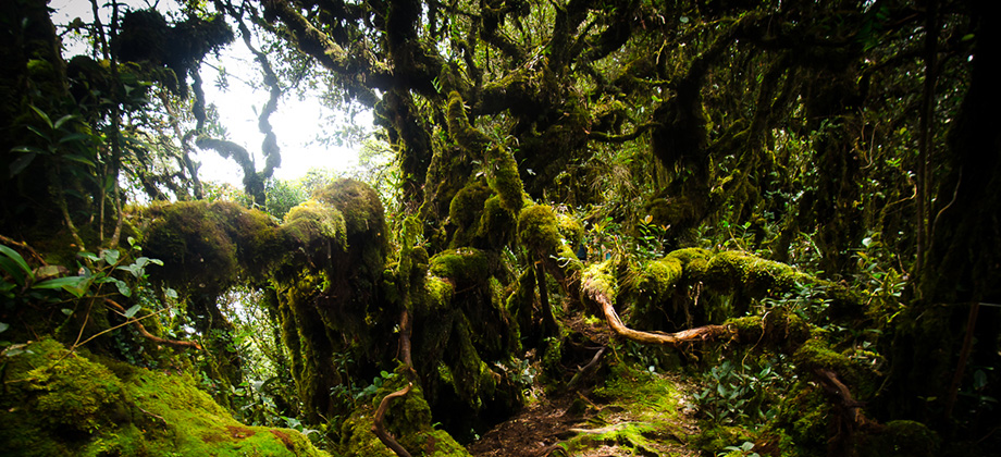
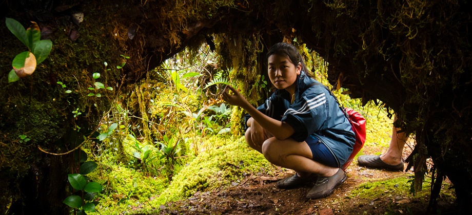
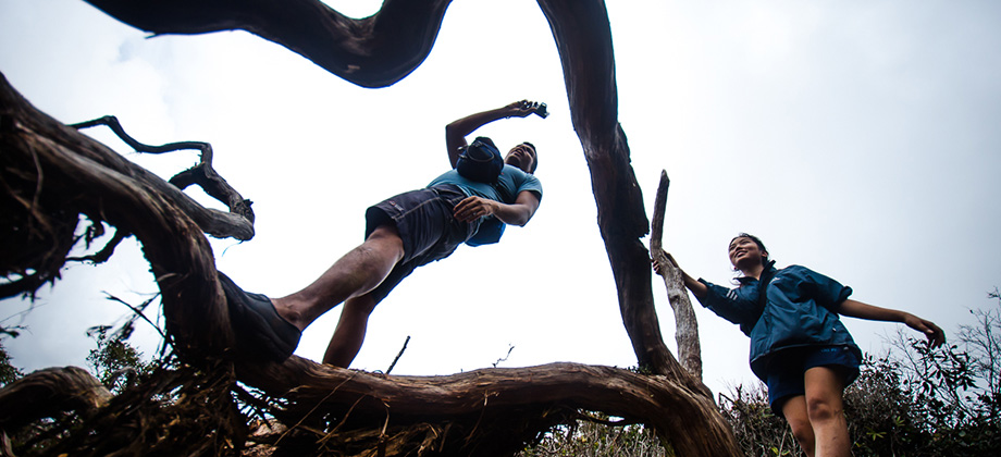
Approximately 5 minutes before reaching the peak of Mount Irau, we found ourselves in a grove of sorts that was encompassed by long, spindly branches that stretched towards the sky. The most remarkable thing about these branches was the sheer thickness and abundance of the epiphytic moss that ended up casting an eerie yet somehow tranquil vibe to the area. I found it somewhat bizarre and a little hard to describe so hopefully the 360 panorama that I have embedded below will do it more justice.























TEBING TINGGI BACKPACKER(fb)
Mount Guider Servicer Licenced
Will arrange:
-forestry permit
-police report
-nature guider
-emergency kit (basic)
-walkie talkie
-4×4 transport to trail head
ANDY
017-9997790
whataps/sms/call
Hi Ramon,
i plan to hike Mount Irau this week, just wondering whether i should apply hiking permit from Jabatan Perhutanan Pahang first before hiking as some say i need to apply and some say dont have to. Just want u to know that i using ur trail and save it into my Ambit for this trip. thanks bro.
Hi Joe,
I would have to say that if you have the time to spare, then let the relevant authorities know. The main reason why you would want to do this would be so that they are aware that you will be hiking in the area and will know where and when to look for you if you fail to check in after the estimated return date and time. Have fun with the hike! 😀
Hi Ramon,
We met at Yong Belar.Like yo blog and the G100 list. Have only done 7,the rest in my bucket list.
Hey Jit Kwang,
I’ve done a few of them before but haven’t marked them down as I wanted to start fresh to document all the hikes with my Ambit. So all of those that I have marked down on the list as completed were done after February 2013.
Do you have any hikes planned anytime soon?
Hey Ramon,
Enjoyed looking at your pics while taking a break in the office. There’s a mossy garden fondly known as the Secret Garden maybe an hour or less hike from Irau heading towards Yellow peak. Not many photos online of this place. Calm and serene place.
Hi Rachel, thanks for the suggestion! I plan to do a trans-Yellow, Pass, Suku, and Irau trek at some point so I’ll definitely have to look up that secret garden. Sounds very intriguing! 🙂