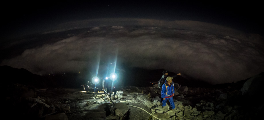
Kinabalu via Timpohon Day 2 - Low's Peak
The Summit
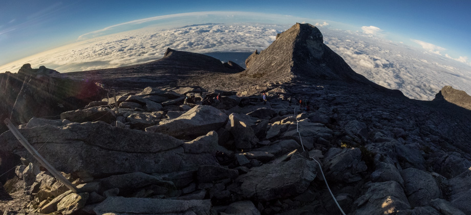
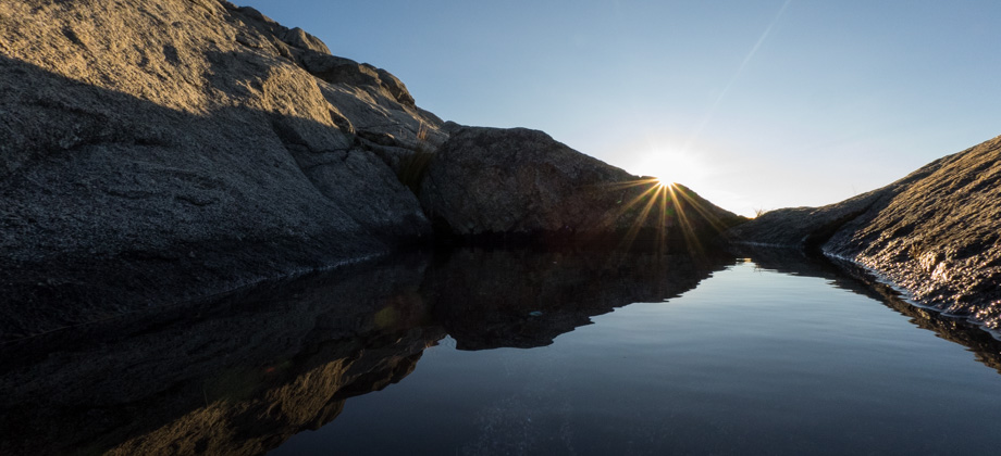
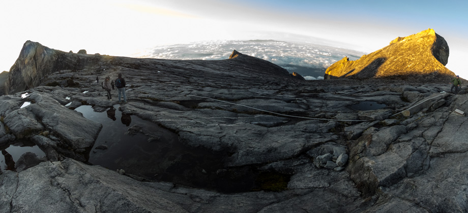
The sun had now risen and the entire plateau was now illuminated. Dark lines and strands of dykes and sills could be seen running through the granite below our feet--the last remnants of a time where magma still flowed through the fractures in these rocks--and the lit peaks cast reflections off the pools of water that were scattered around the plateau. Peering over towards the north revealed views of Low's Gully, which was a 1800 m-deep chasm that is widely considered to be one of the least explored and most inhospitable places on earth. The 16-kilometre-long gully separates the mountain into two branches, or arms, that form the Eastern and Western Plateaus.
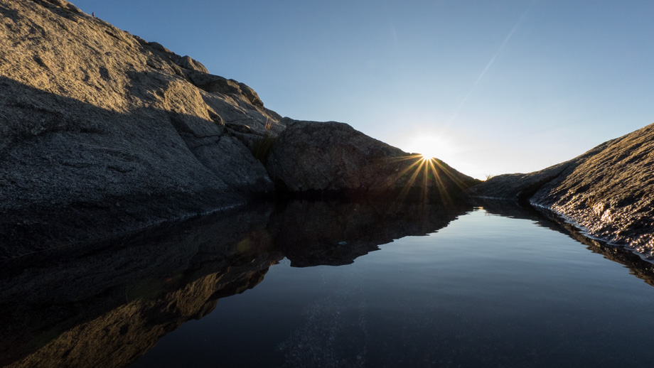
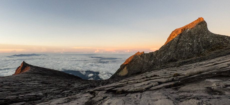
 Peering down towards Low's Gully
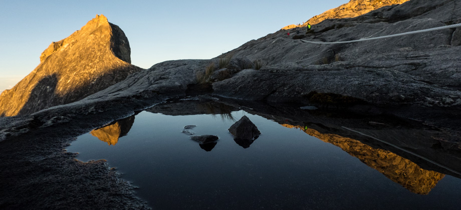
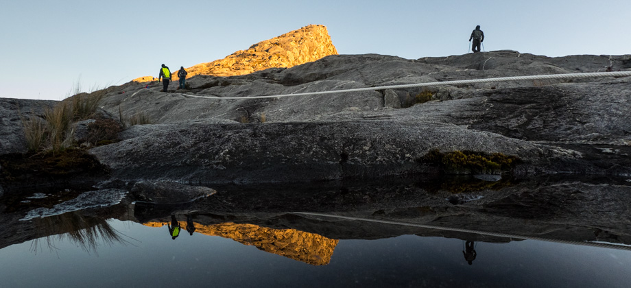
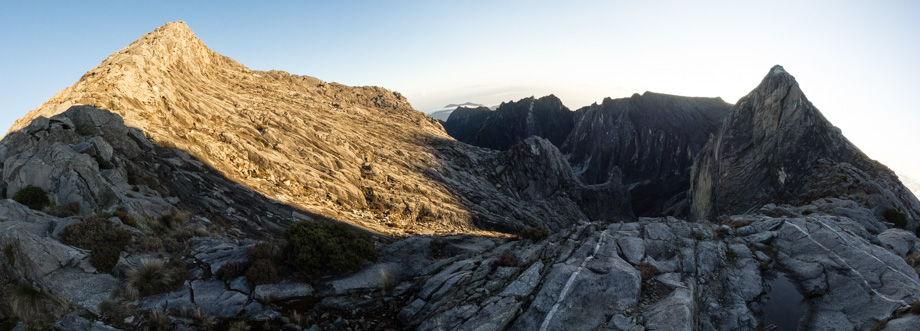
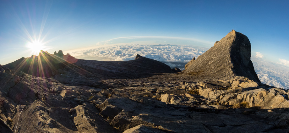 The early morning sun rising over Donkey Ear's Peak (elevation : 4048 m) on the left;
South Peak (elevation : 3921 m) is in the middle of the frame, and St. John's Peak(elevation : 4091 m) is on the right
The early morning sun rising over Donkey Ear's Peak (elevation : 4048 m) on the left;
South Peak (elevation : 3921 m) is in the middle of the frame, and St. John's Peak(elevation : 4091 m) is on the right
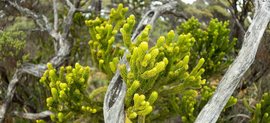
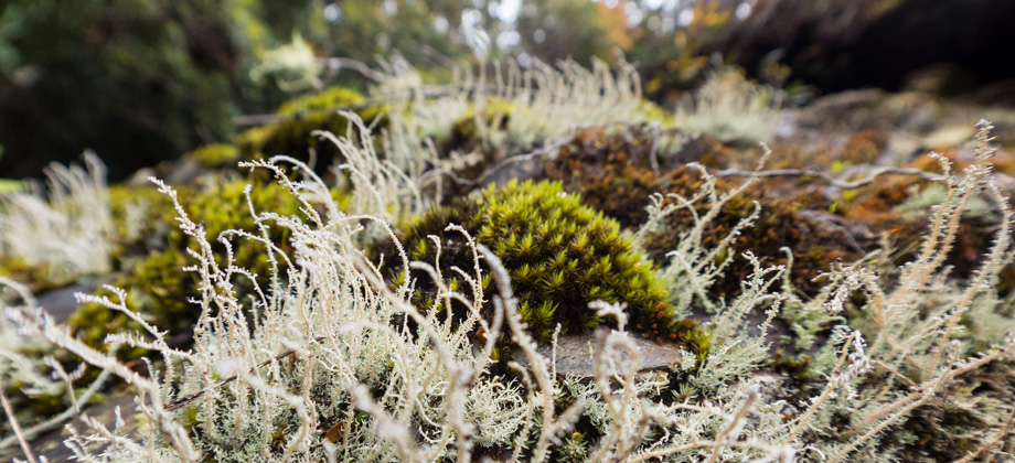
The stunted shapes of sporadic plants like mountain trachymenes
(Trachymene saniculifolia) and rough-leaved rhododendrons
(Rhododendron ericoides) could also be seen poking out of gaps in the boulders that were adjacent to the trail--the elevation having decreased their stature to diminutive shrubs.
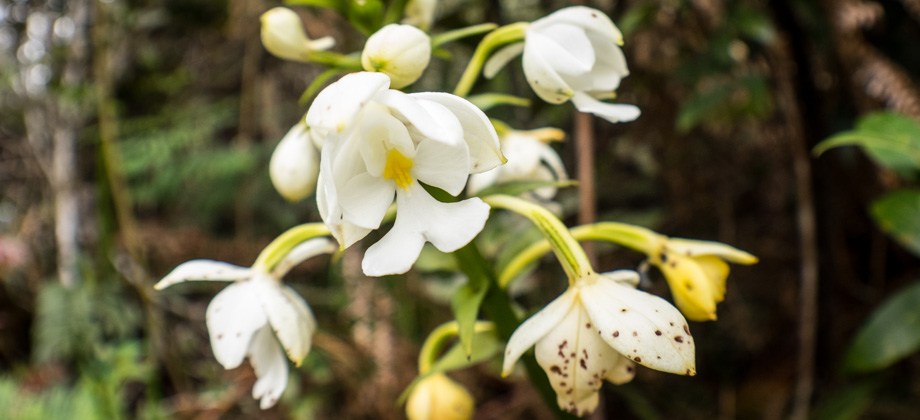
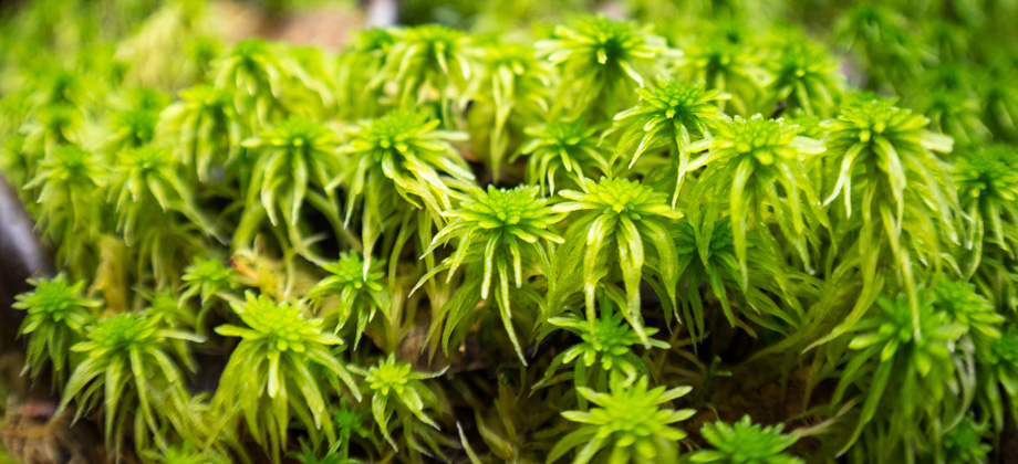
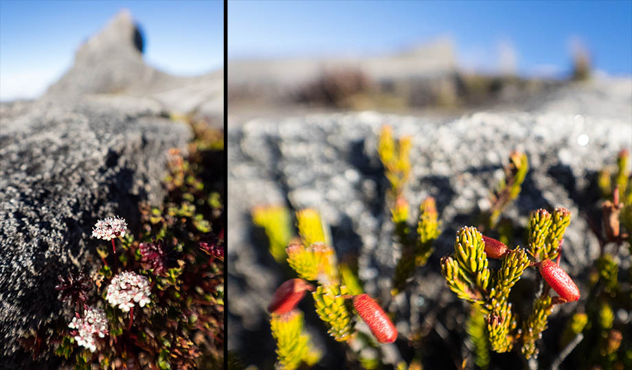 Left: Mountain trachymene flowers (Trachymene saniculifolia) with St. John's Peak
(elevation : 4091 m) in the background; Right: Rough-leaved rhododendron flowers
(Rhododendron ericoides)
Eventually the trail veered right towards Low's Peak

(
elevation : 4095 m), which was just a hundred metres or so away from there. As we approached the summit, it became a little crowded as hikers jostled around looking for a position next to the elevation marker in order to capture their 'peak-bagging' photos. A fence had also been erected around the summit in order to prevent fatal accidents on the crumbly sheer slopes just a few metres beyond.
This is the climax for most hikers, the culmination of all their efforts--something that they have 'conquered'--and is where most people feel as if there is just nothing left to do but to begin the long descent back down. Others, who do not chase peaks but rather seek out the wilderness because of their love for nature, do not necessarily see this point as a 'conquest' in their journey, but rather another place to cherish on the great tapestry that is nature.
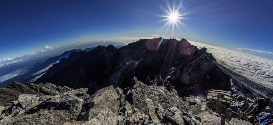
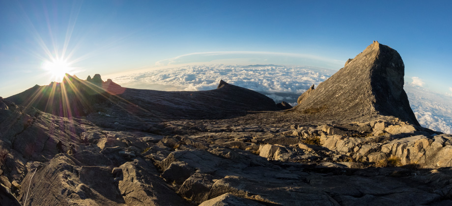
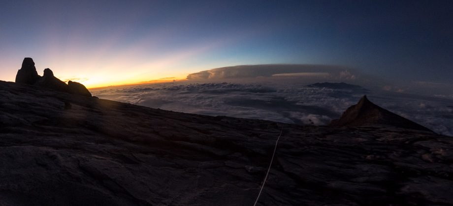
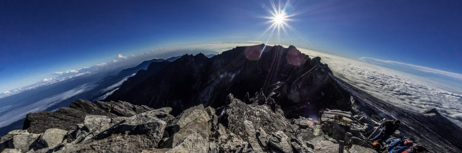 Panorama from the summit, facing east. Mount Tambayukon (elevation : 2579 m) can be
seen towards the centre-left of the picture just under the horizon. King George Peak and
Ramitan Peak can be seen just under the sun