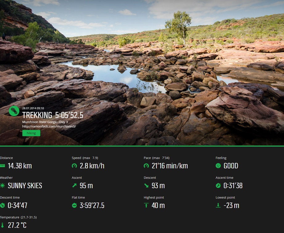


Murchison River Gorge - Day 3
Murchison River Gorge Index
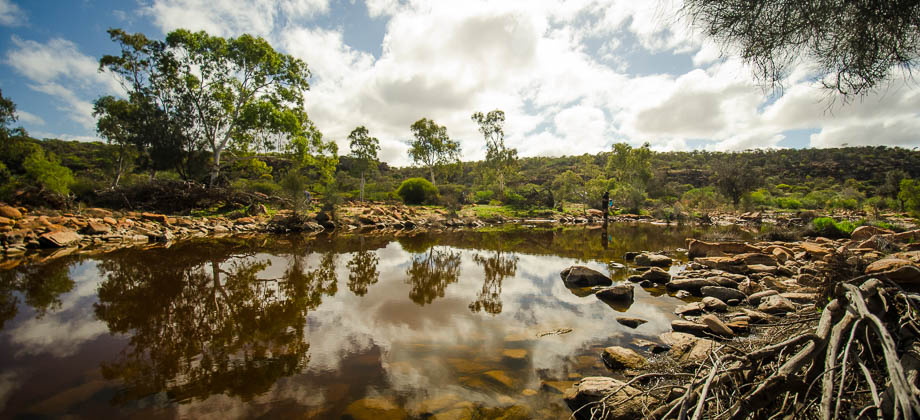
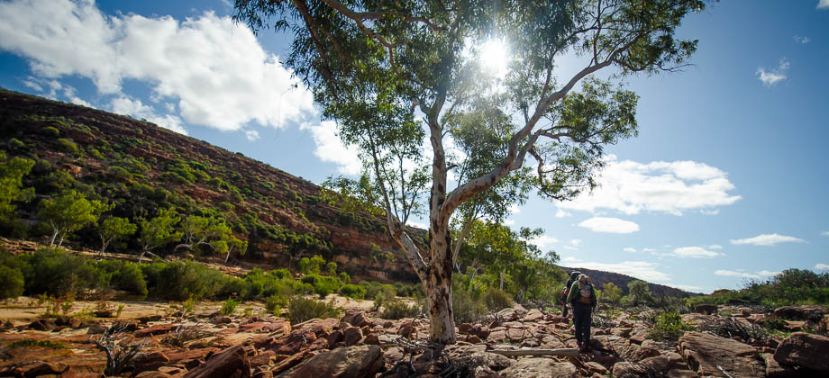
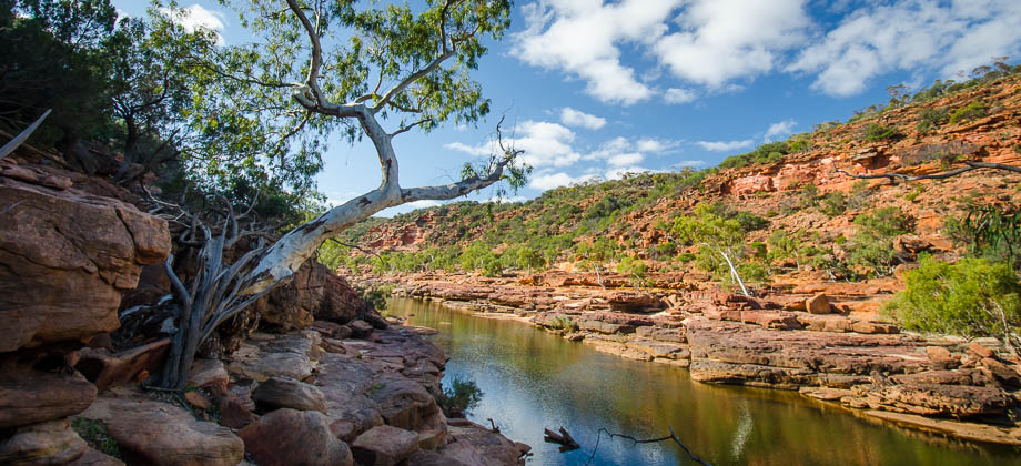
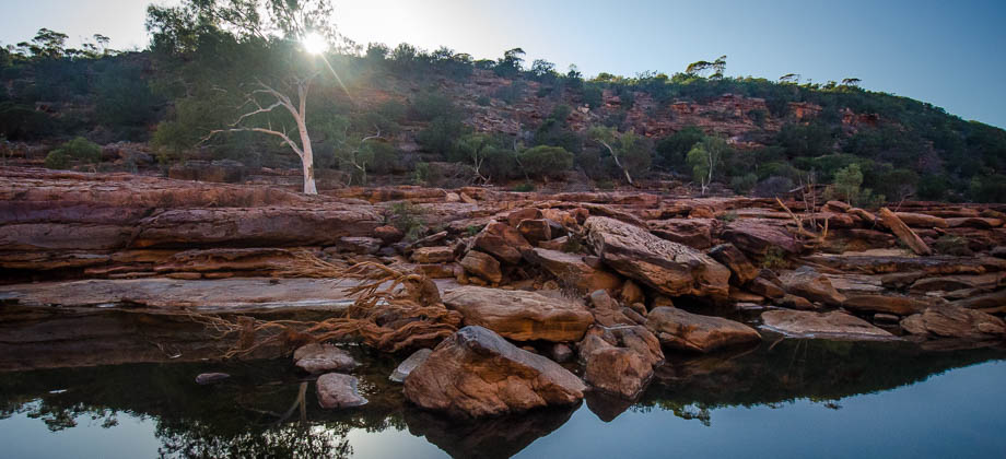
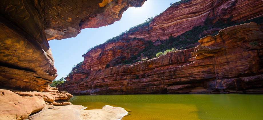
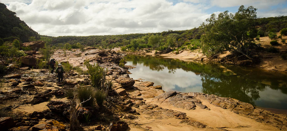
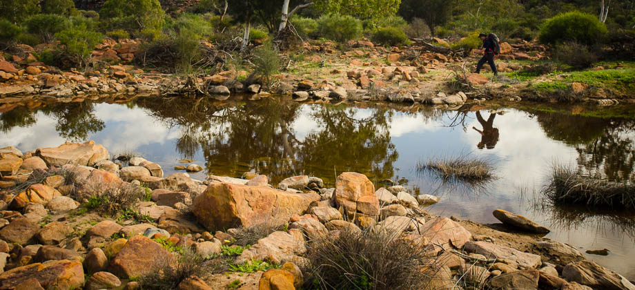
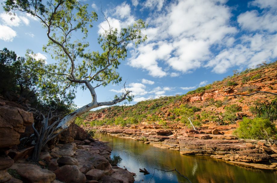
We carried on 'bush-bashing', making our way across the bush and down into the gully. We reached the bottom and emerged out into the gorge at the 8.4 km mark, approximately 1.5 km from the viewpoint, and crossed over to the east bank of the river by jumping and scrambling over the sandstone boulders.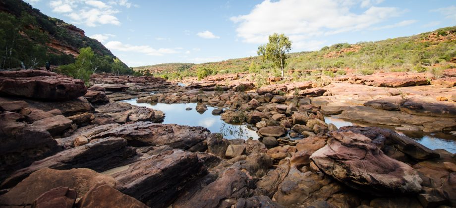 As we carried on walking, the river began to narrow and the sides of the river seemed to rise up, turning red as it did. The river banks started to flatten off into levels, or tiers, that we hopped to and from. The water also seemed to grow darker as the sandstone grew redder, the water dark enough to mistake it for purple. The River Red Gums (Eucalyptus camaldulensis) here erupted from the rock at odd angles, and were reflected clearly by the dark, mirror-like water.
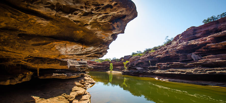
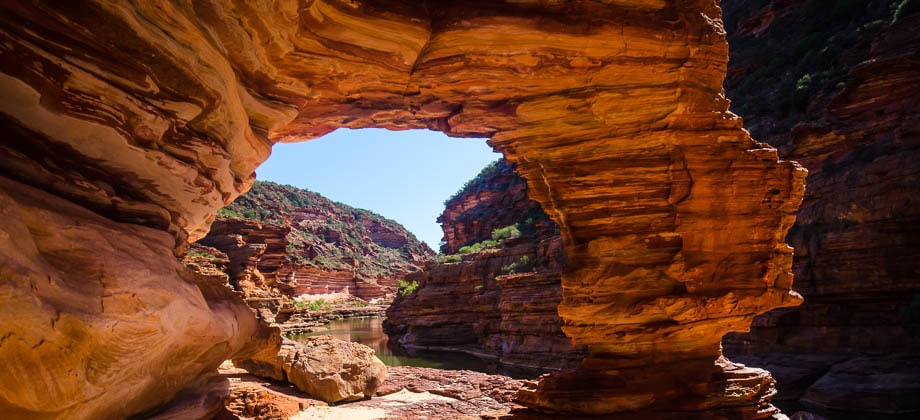
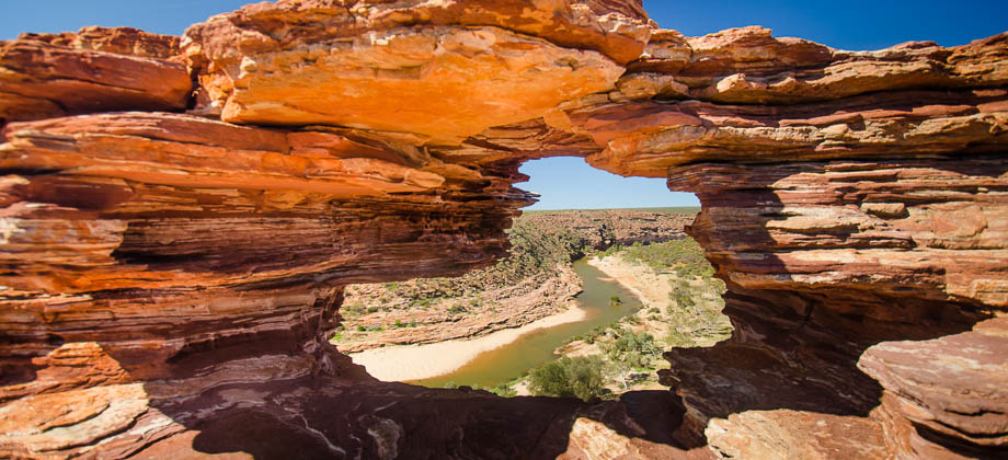
This was it... the Gorge.
As we carried on walking, the river began to narrow and the sides of the river seemed to rise up, turning red as it did. The river banks started to flatten off into levels, or tiers, that we hopped to and from. The water also seemed to grow darker as the sandstone grew redder, the water dark enough to mistake it for purple. The River Red Gums (Eucalyptus camaldulensis) here erupted from the rock at odd angles, and were reflected clearly by the dark, mirror-like water.
This was it... the Gorge.
360 Panorama
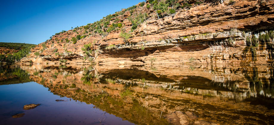
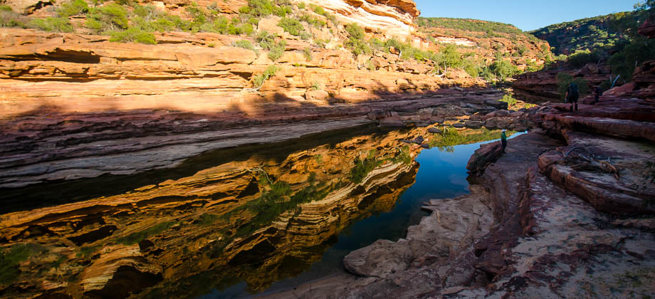
The Gorge Widens
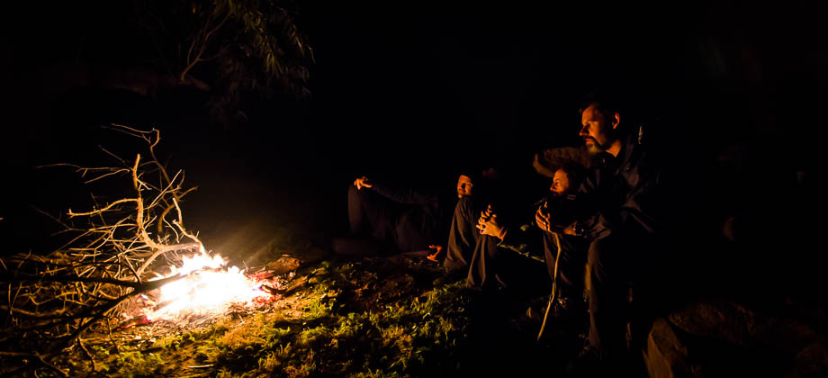
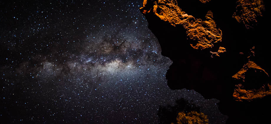
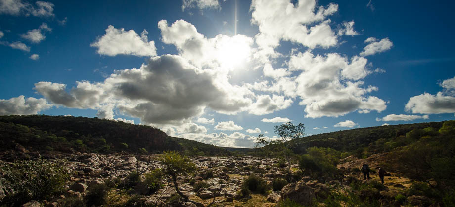
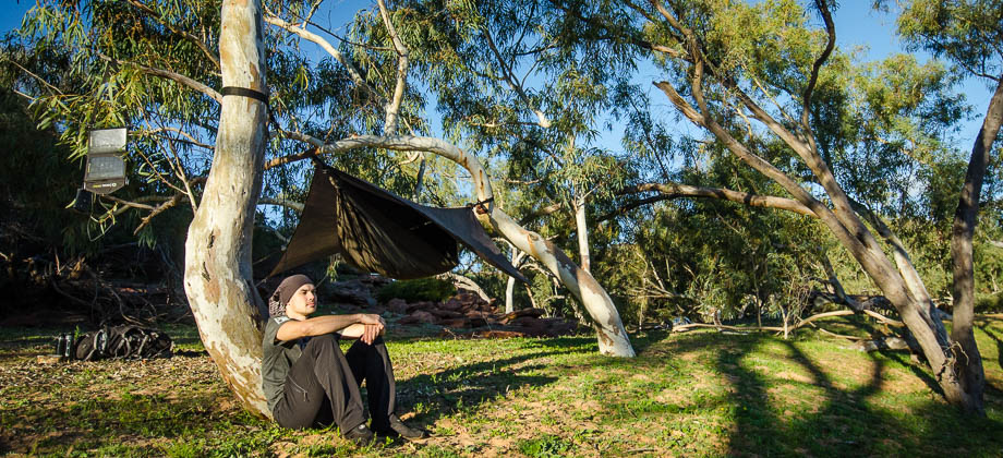
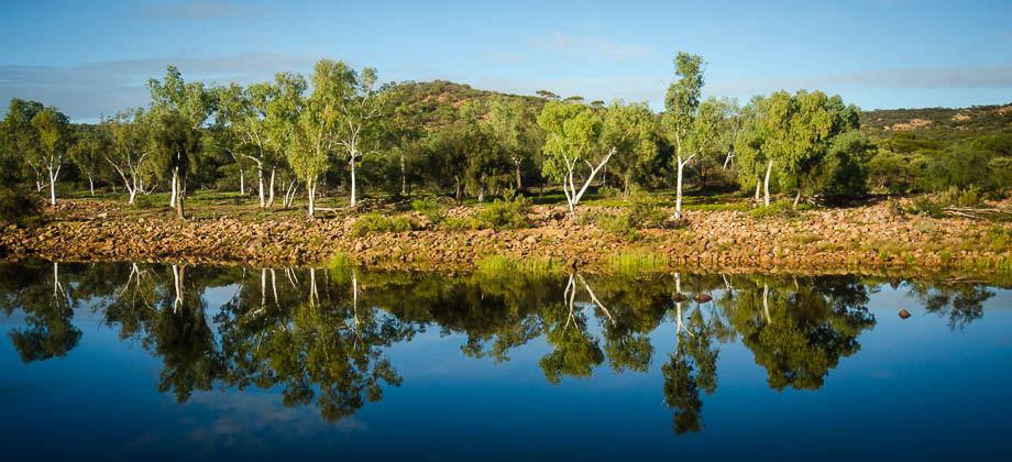
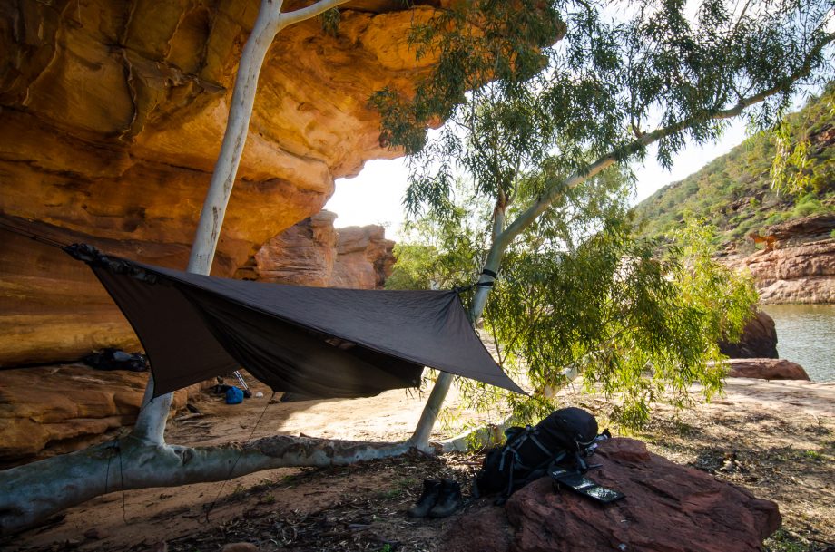
Approximately 14 km in, the river began to widen and sand began to appear on the banks. The walls on the other side of the river started to soar, some reaching heights of 60 metres or so. The sounds of wildlife could still be heard, but something seemed a little different here, a lingering reverence, something almost mystical and impossibly serene. We decided to stop and set up camp here, eager to take a refreshing dip in the chilly river waters. The shadows began to elongate, creeping down the cliff face, and as the sunlight began to diminish, so did the fatigue from our bones...
Route Playback