


Stirling Ridge Walk - Day 2
Stirling Ridge Walk Index
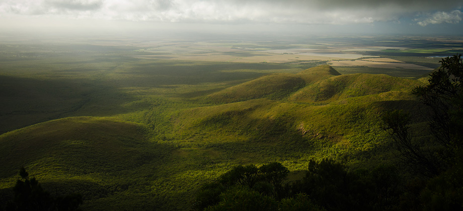
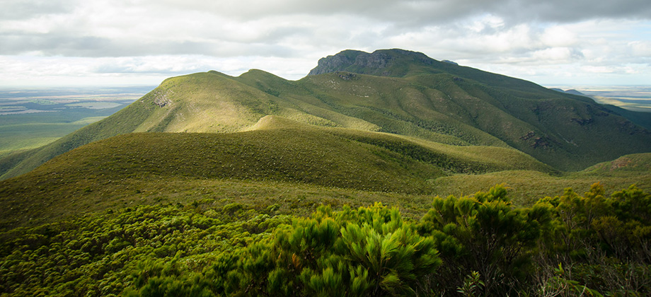
Ellen's Peak to the Third Arrow

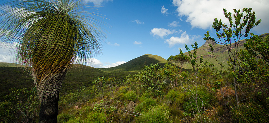
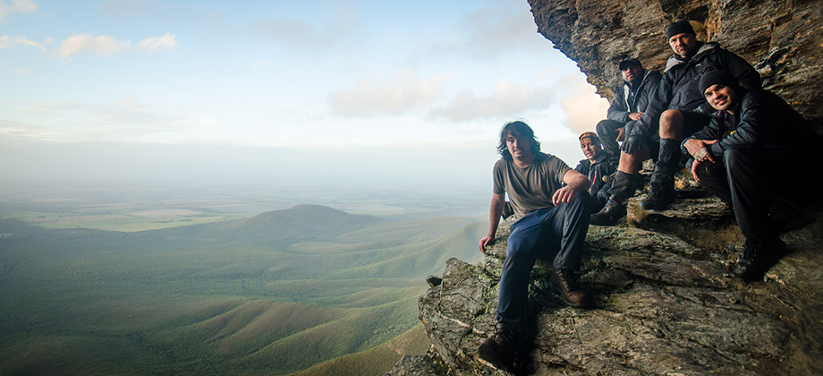
 The trail seemed to diverge on numerous occasions as it passed through sheoaks (Allocasuarina spp.) lining the sides. When we reached the small rocky outcrop that marked the junction that diverged left up to the eastern gully and on to Ellen's peak, and right around the base of the north-west buttress, the group decided to split with most of us making the steep ascent up to the peak. Since the others decided to wait at the junction, we thought it best to leave our packs with them.
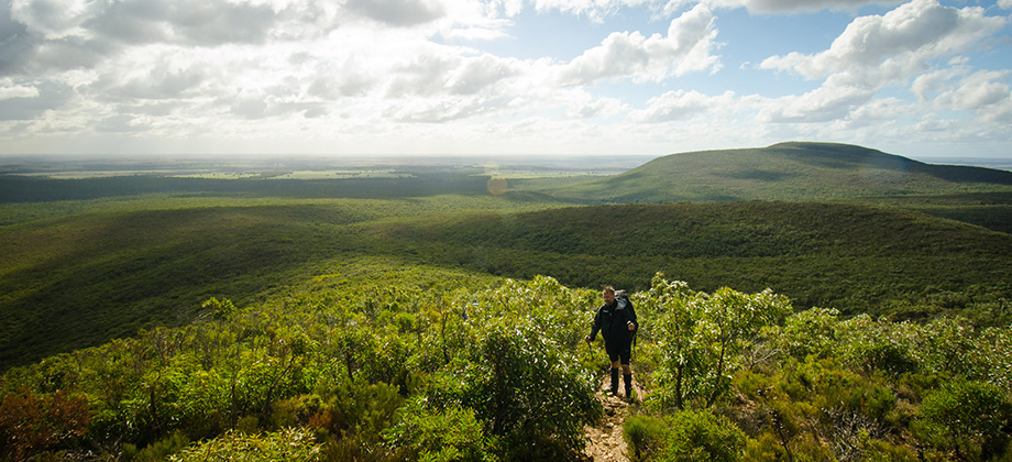
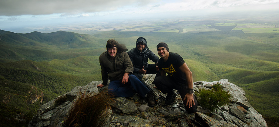
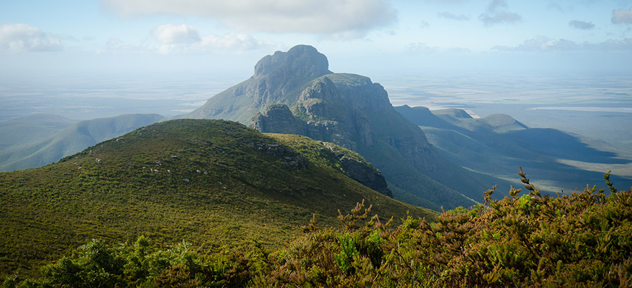
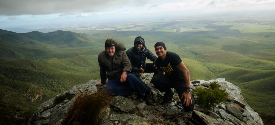
Ellen's Peak
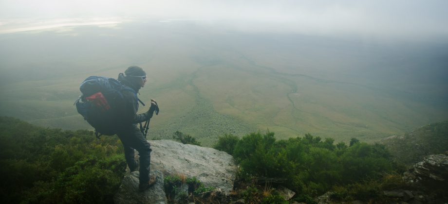
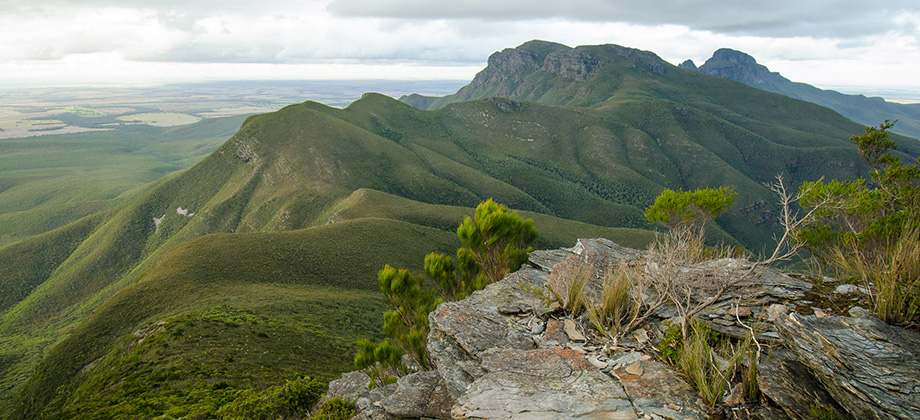
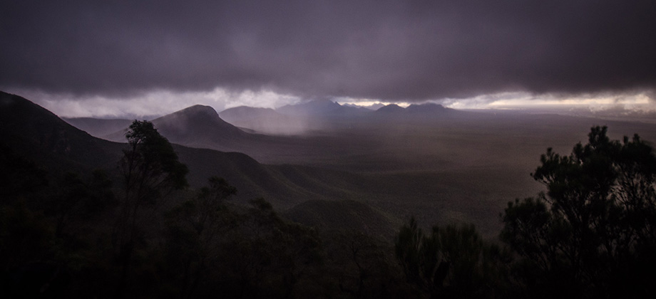
As we circled around the base of the peak in a clock-wise direction, we became more and more uncertain as to whether the barely noticeable trail that we were on was actually leading up to the summit. There were times when we were forced to improvise with some 'bush-bashing' of our own to get back on the trail that seemed to have a habit of winking in and out of existence. Besides the sharp branches that tore and seemed to try and grasp at us as we tried to squeeze by, water dripped from the rocks above leaving them wet and slippery. Taking great care and caution when climbing over them was paramount due to the long drop below. The eastern gully lead us up to a gap, a saddle of sorts, between the north-west buttress and the main peak. We switched direction there and turned left to travel anti-clockwise instead, and past tiny rock shelters with wind-breaks in their crevices. It became even more treacherous here as the rock became crumbly and the steep route often left us climbing up on our hands and knees. I would highly recommend that you try to remember the path that you take when going up, the features in the rock that you pass or any visual cues for the matter, as the descent back down is vague and tricky. When we made our descent, we found ourselves descending too fast, too soon, and had to retrace our steps on several occasions just to make our way back to the 'gap'. Our time at the peak itself was pretty short-lived as furious winds buffeted us and heavy clouds rolled in shortly after and left us in a complete white-out.
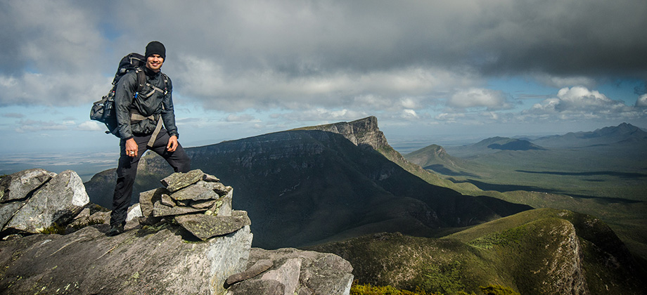
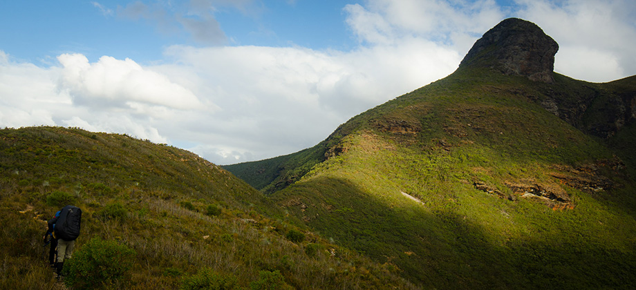
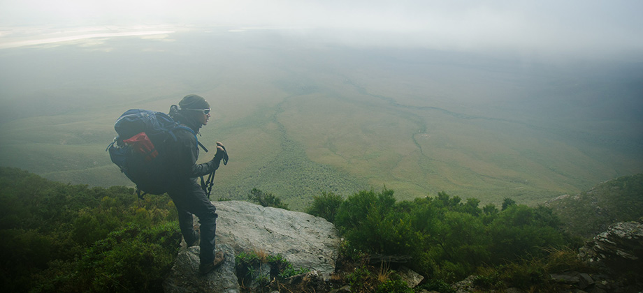
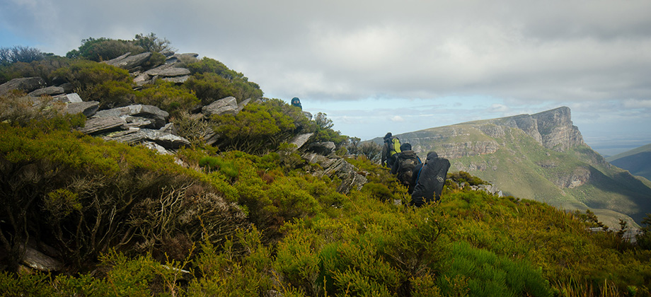
 After meeting up with the rest of the group and picking up our backpacks, we made our way along the side of the north-west buttress, through more sheoaks (Allocasuarina spp.) and up to the saddle between Ellen's peak and Pyungoorup Peak. There was another clearing here that looked like it would have made a good campsite. The whiteout that had engulfed us earlier had decreased the visibility considerably though and it struck me at the time that the grasstrees (Xanthorrhoea preissii) that emerged from the low shrubbery were akin to ghostly visages hovering in the mist.
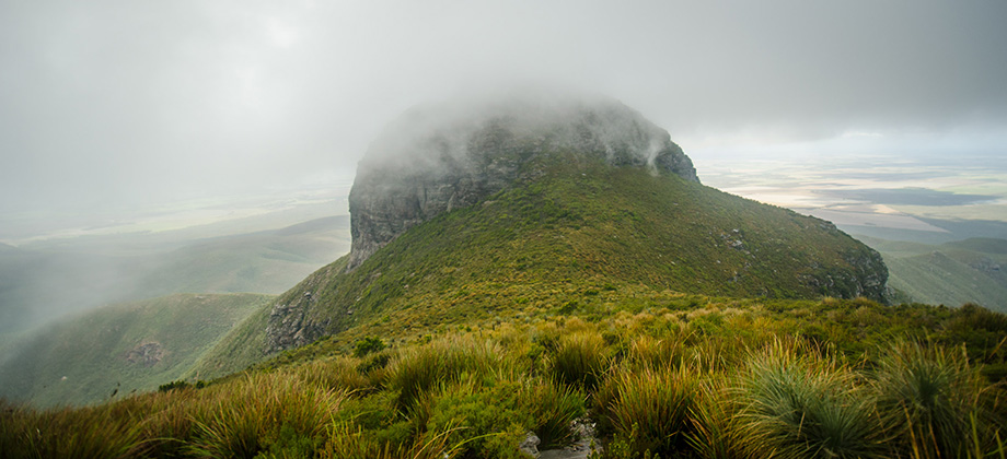
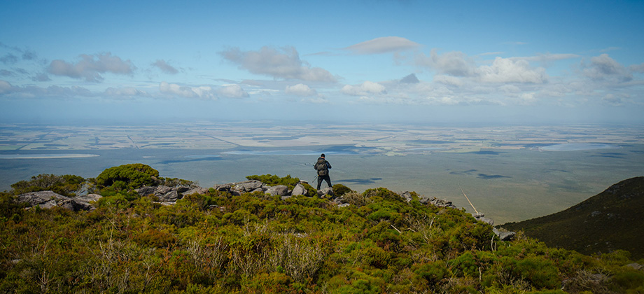
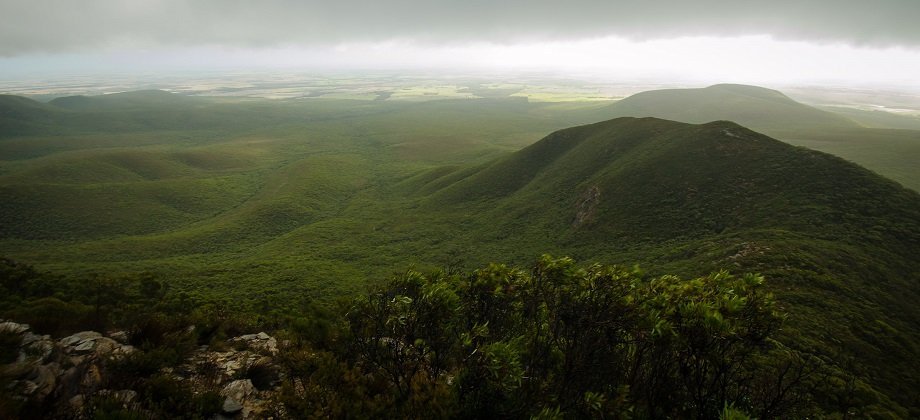
Pyungoorup
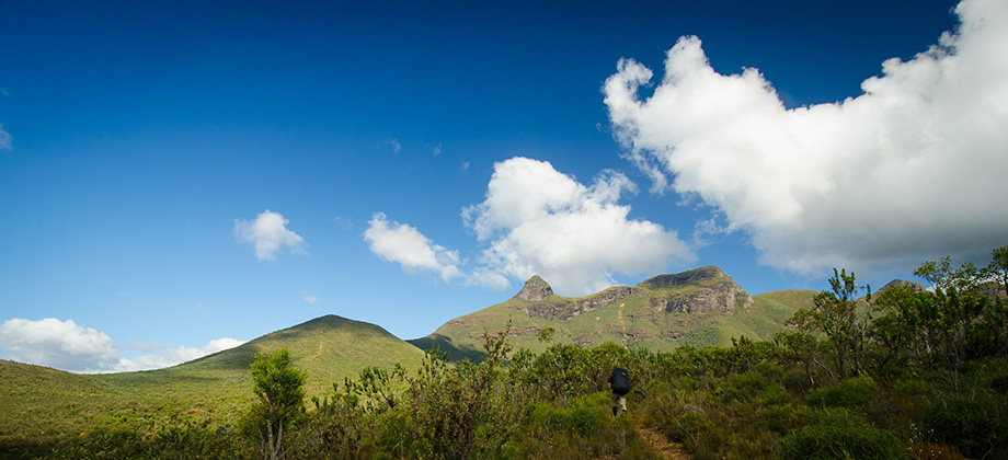
As we ascended Pyungoorup (elevation : 1061 m), the walk became considerably easier as the terrain there was mainly open shrubbery on a gentle incline. Shortly after however, we came upon the cairn that marked the junction that diverged right continuing on to the peak of Pyungoorup, and left around the southern base of Pyungoorup that continued on to Baker's Knob. We decide to skip the former as quite a bit of time had been spent on the ascent up to Ellen's peak earlier. This high-level traverse was probably the trickiest section for me. I was the only one in the group that did not have gloves and the traverse around the base had large sections that were along sloping, muddy terrain. We had to resort to grasping the tall sword sedge (Lepidosperma effusum) on the side just to keep us from losing our balance and teetering over. By the time I emerged around the base of Pyungoorup peak to the Pyungoorup pinnacle, the blades (appropriate, no?) of grass had left my hands fairly shredded and dripping with blood.