


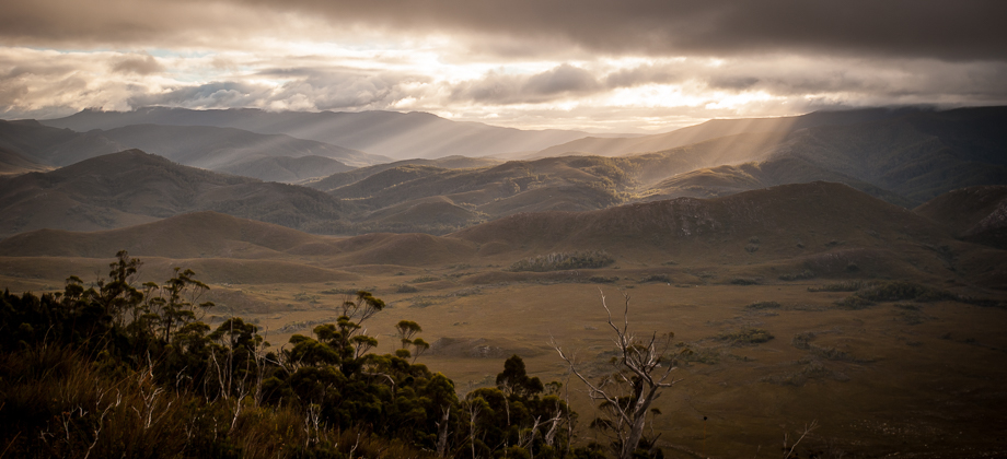


Western Arthurs Day 3 : To Lake Oberon
Western Arthur Range Index
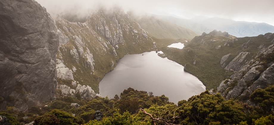
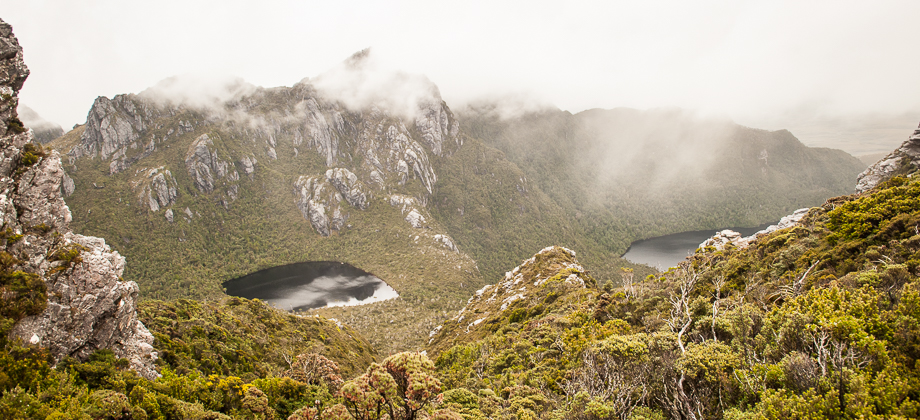
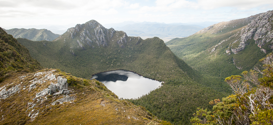
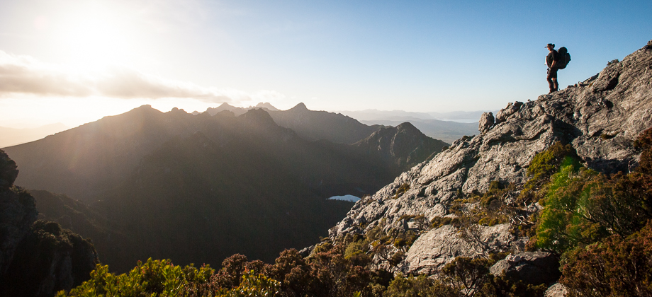
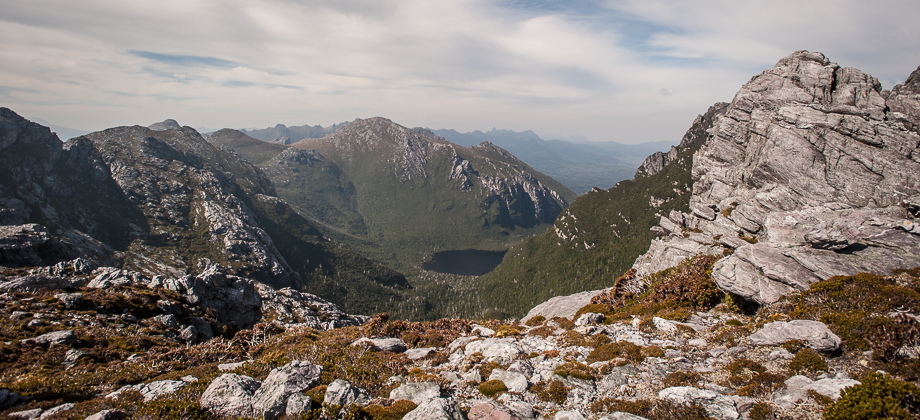
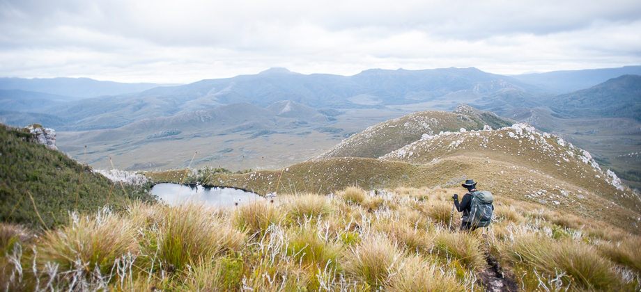
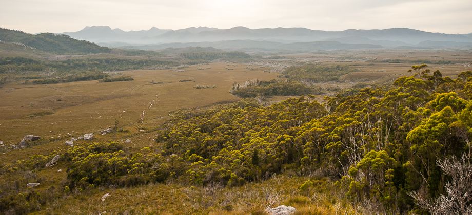
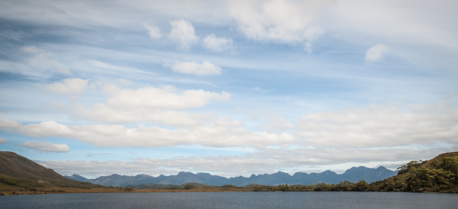
Down to Lake Oberon
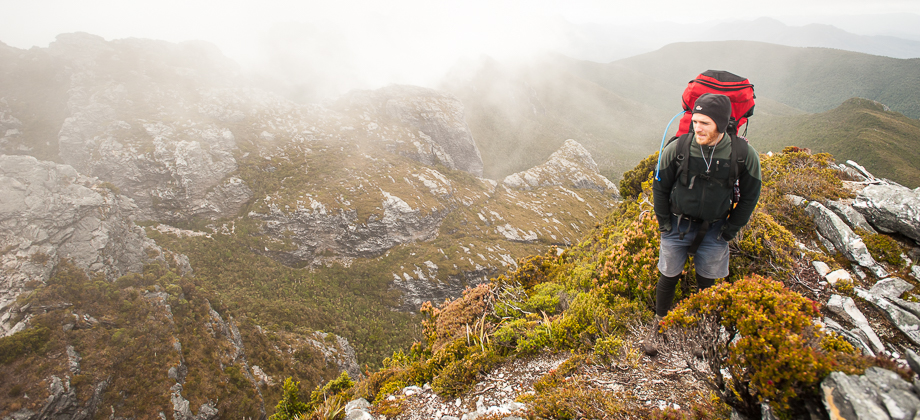
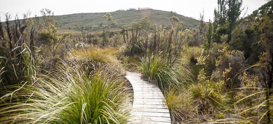
By then, my shoes were completely filled with water that sloshed around with each step that I took. It was still a complete whiteout and we couldn't see anything in front of us, so I decided to stop for a while in the hopes that the views would clear and that I would be able to get a shot of Lake Oberon that supposedly lay just below us. This proved futile however as my core temperature started to plummet soon after and as such, I was forced to keep on moving. We descended down the lush valley that was fringed with all manner of plants, the path occasionally turning into precarious scree. A wooden boardwalk appeared in-front of us after the 4.22 km mark, and cut under the base of the cliffs directly above us. Soon after, the path met the Lake Oberon junction and we turned right to continue down to the north-west edge of Lake Oberon and the Lake Oberon campsite. At this point, all I could really think about was ripping off my boots and drying my cold, damp feet...
Route Playback


