Western Arthurs Day 2 : To Lake Cygnus
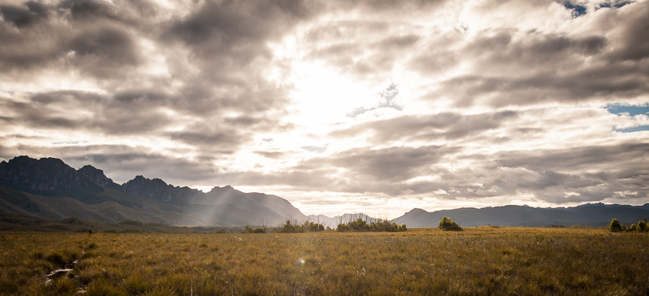
Across the Buttongrass Plains

We left
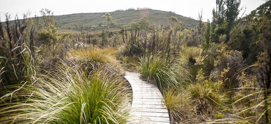
Junction Creek at 09:00 the next morning and turned right along the Port Davey track at the junction that lay just to the south of the camp. The soft and diffused sunlight that morning was very pleasant, but the trail still remained very muddy. It lead to another river crossing approximately a kilometre in, before leading to elevated wooden platforms that lined the track as it crossed the muddy, flat buttongrass plains heading west.
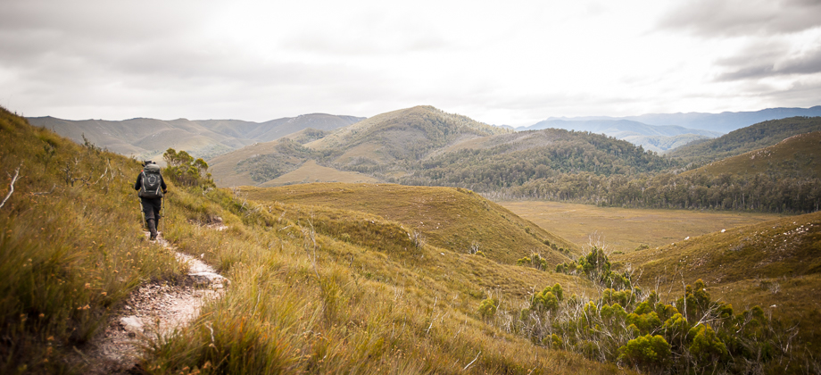
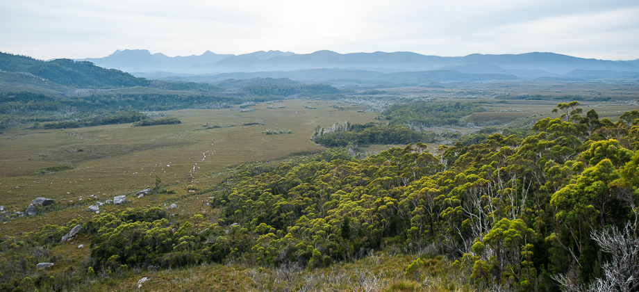
 The path to Alpha Moraine
The walkway crossed another river after a few hundred metres before giving way to the gravel path once again. The twittering of birds could still be heard but they were drowned out by the swishing and swirling of strong gusts of wind up on the ridge from time to time. The sounds of wet, waterlogged boots underfoot had also become a familiar sound - squish, trudge, squish, trudge – a sound that would fade from the forefront of our consciousness as time went on.
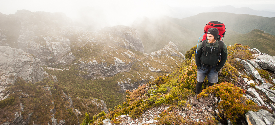
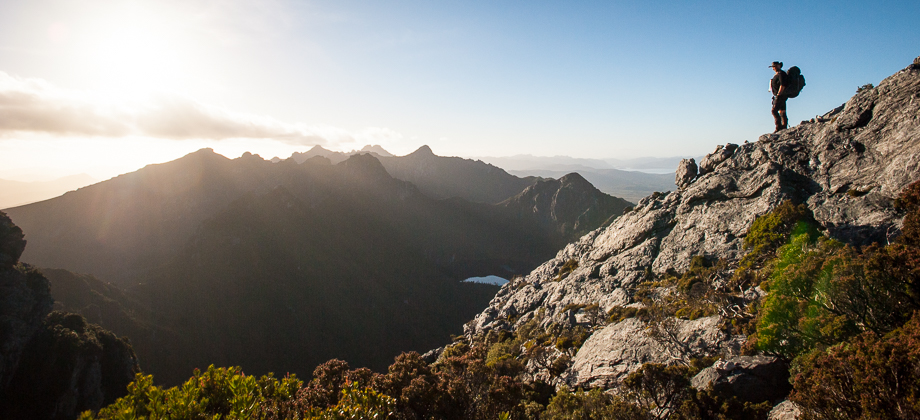
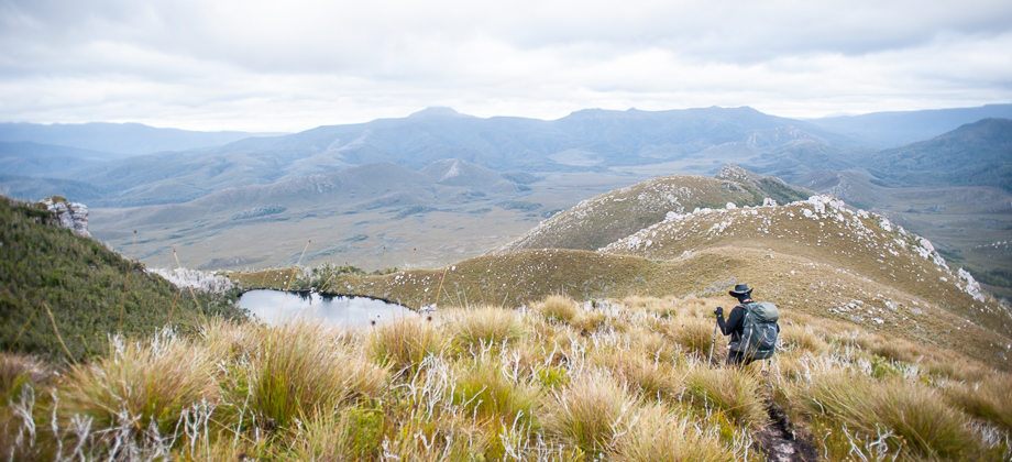
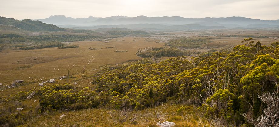
After an hour of walking, we reached the junction that branched right to Port Davey at the 2.84 km mark. We continued walking along the left branch, the range growing larger and larger the closer we got to it. We reached a little stream at the 3.15 km mark and the small clearing of the Alpha Moraine campsite. From here we started to ascend up the spur of Alpha Moraine, past large boulders and rocky knolls that forced us to scamper and clamber across. The grey boulders all seemed to have splashes of green moss with coral-like perforations on them, and red veins of some mineral running through them. The wind that blew in from the north began to pick up the higher we got, building up to frantic gusts that brought tears to my eyes.
 Looking back to Junction Creek
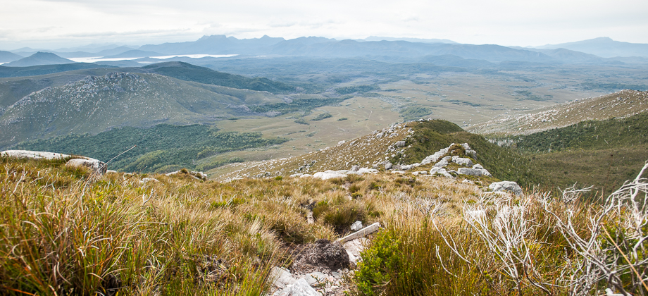
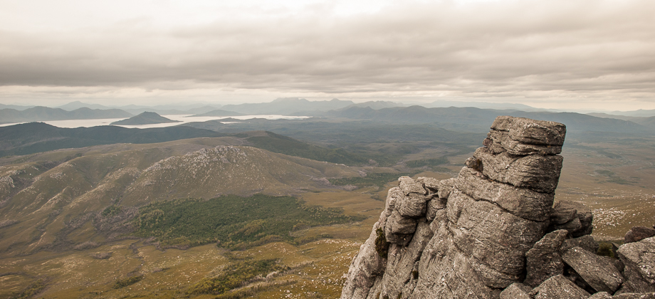
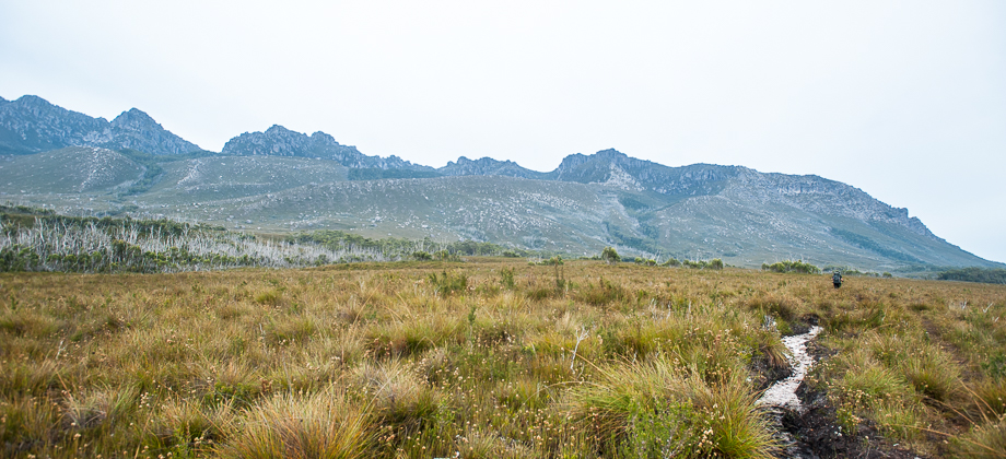
Looking back in the distance from where we had come lay the enormous Lake Pedder, and on its right, the triangular summit of Mt. Anne. The sight of the looming rain clouds that hung dark and ominous left me with a sense of urgency, and so I rounded the shoulder with an increased pace, continuing on the Mt. Hesperus (
elevation : 1099 m).
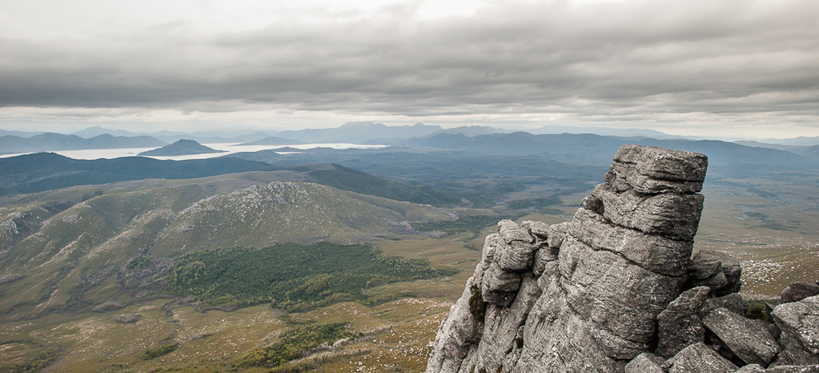
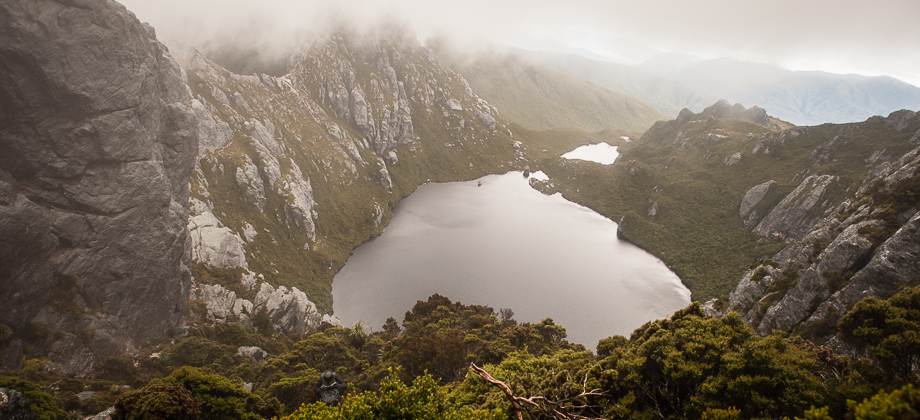
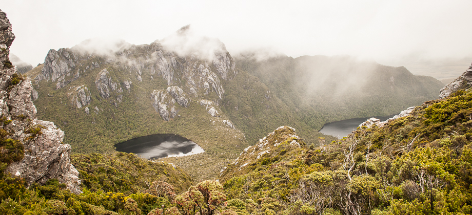
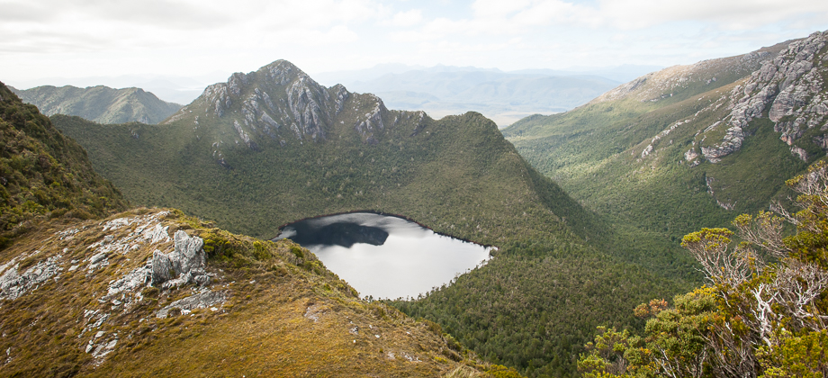
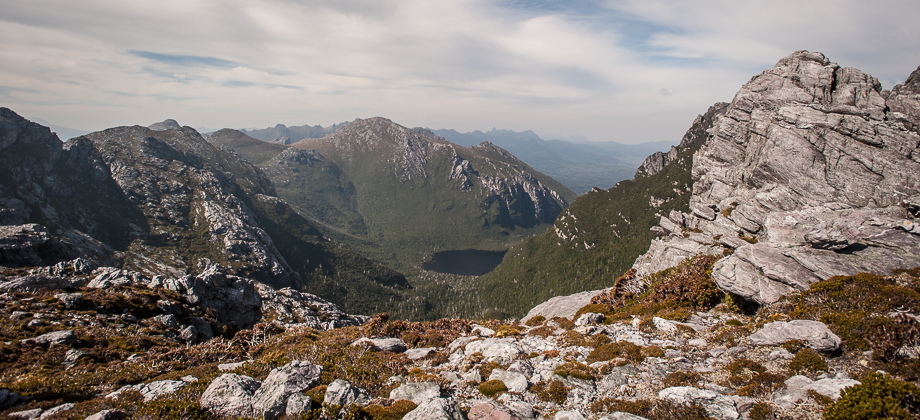
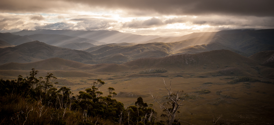
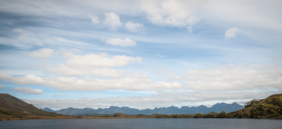
The trail along the ridge crest was lined with large flat rocks that sat over the heath, acting like a walkway of sorts. There were huge rocks and boulders of various shapes and sizes that lined the sides of the shoulder, steadfast and vigilant, sentries that stood guarding the trail. We rounded the shoulder and passed the peak of Mt Hesperus when the sight of the dark (almost black!) body of water that was Lake Fortuna made its appearance down below.
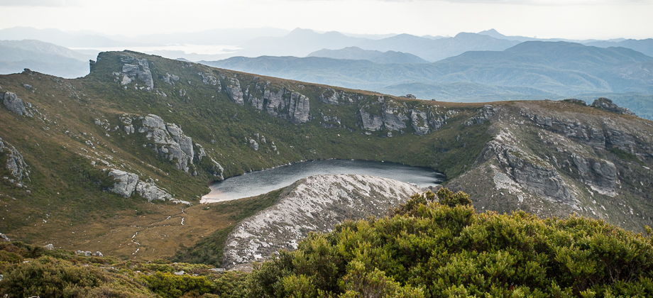 Lake Fortuna