


Tok Nenek, Bubu, Yong Yap (TNBYY) – Day 4
TNBYY Index
Overview
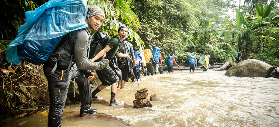
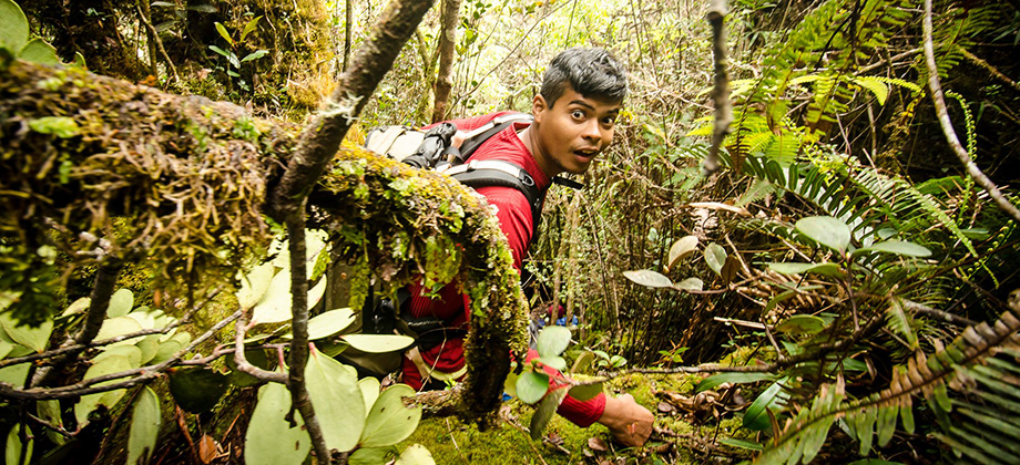
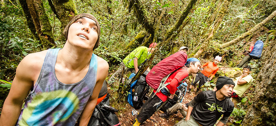
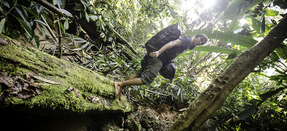
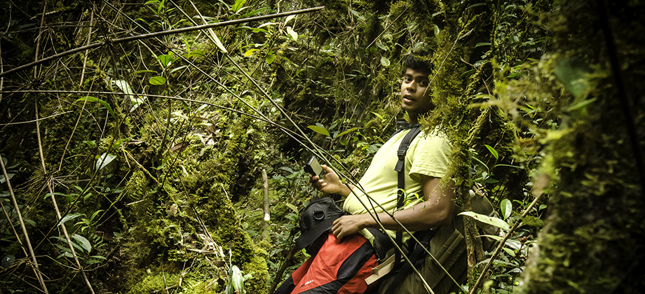
To my absolute dismay, the battery of the Suunto Ambit became depleted in the midst of the trek on the last day which meant that the information collected was incomplete. I had completely underestimated the difficulty of the trek and had not anticipated the time we were to take to cover the distance and elevation of the trek.

I have combined the GPS data that was gathered by the Suunto Ambit to generate a map of the entire trek (except the last part that looped around and joined the same route that was taken at the start at 'Simpang Tok Nenek'). The map is located at the bottom of the page and when the mouse is hovered over it, you will be able to see the topo that will give you an idea of the elevations and inclinations that we faced at various parts of the trek.
The distance from the Indigenous village to 'Simpang Tok Nenek' was about 5.8 km which would bring the total distance traveled to 37.8 km. There were sections that were not logged between the point where the batteries were depleted and the Simpang so I estimated that the actual distance traveled would have been closer to 40 km.
Final Route

")
 – Day 3")
 - Day 2")
 - Day 1")