EBC Day 17 – Lungden to Namche Bazaar
Leaving Lungden

Despite the ferocious wind that was blowing up the valley from the south, it only took 30 minutes to hike from Lungden (Nepali : लुन्देन)

(
elevation : 4375 m) to Marulen (
elevation : 4210 m). At first, Marulen was akin to a ghost town, as all the houses were bolted from the outside and there was not a single person in sight. I did however end up seeing three people right at the end of the town, which struck me as somewhat odd for a fairly large town (at least by Nepalese mountain standards) of about 12 houses. The days were getting much colder and the nights were getting much shorter, so the scarcity of people was most likely due to the coming of winter.

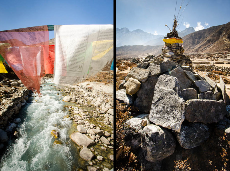
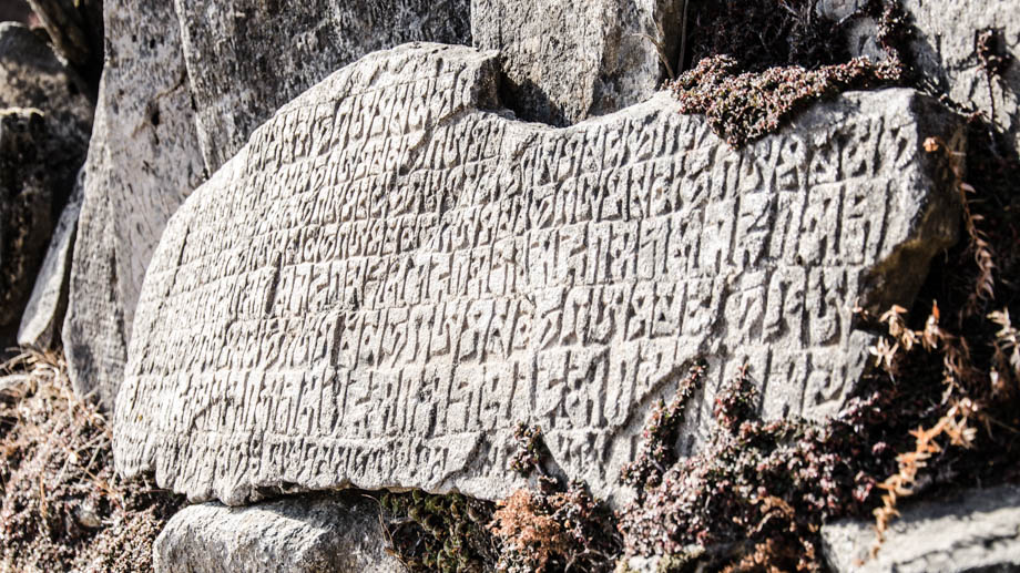
 Prayer flags, chortens, and mani stones
A metal prayer flag-lined bridge

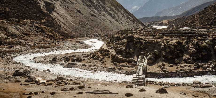
lay just after Marulung, and crossing it brought me to the west bank of the Bhote Koshi (भोटे कोशी). Just south of the sprawling village of Tarnga, the Bhote Koshi was then met by the Langmuche Khola, which drains the Langmuche glacier and Dig Tsho to the west. I found it interesting that the icy streams that had trickled by me just days before had grown bigger and bigger as they merged with other bodies of water, before meeting these torrential rivers that shaped the ancient valleys.
 The bridge that straddles the Bhote Koshi at Dingjung/Marulung
I found it strange that there were no checkpoints of any kind as I made my way down. I had heard that the security was supposed to be a little tighter since the glacier pass of Nangpa La (
elevation : 5716 m) lay at the head of this valley. The Nangpa La is a well-established trade route between Tibet and Nepal, so much so that the Tibetans know it as 'Khumbu Kang La', or 'snowy pass into the Khumbu'. The pass was used by the Sherpa when they migrated over to Nepal over 500 years ago, and was also used by some Tibetans who were fleeing from Chinese rule.
 Looking south towards Thame Teng (Upper Thame)
It was around that time when I encountered the treeline once again. The last time I had been below 4000 metres was just before I reached the town of
Dingboche, which had been well over a week ago. I was struck by how much I reacted to the sight of the Himalayan Junipers
(Juniperus recurva), the scarcity of which, when up in the mountains, must have affected me on a very fundamental level. In this region, the branches of the junipers (which are known as 'Shugpa' in Sherpa) are mixed with the leaves of the perennial dwarf rhododendron
(Rhododendron anthopogon), and are commonly burnt as incense after having been dried in the sun.
Treelines have also been found to shift with the changing of temperatures. The past 100 years has seen the average temperature increase by more than a full degree, and the effects tend to be far more pronounced at both high altitudes as well as high latitudes. In Pangboche (the town that lies just north-east of the
Tengbouche Monastery) for instance, the treeline of east Himalayan firs
(Abies spectabilis) was found to increase by 2.61m a year [
Bhuju et al. (2010)]!


Simply brilliant Ramon. Enthralling write-up with equally enchanting photos to boot.
How I wish I could follow in your footsteps. Kudos – and look forward to many such travel blogs.