


Caldera Blanca
Lanzarote 1 : Volcanoes of Timanfaya
Lanzarote 2 : Diving Puerto del Carmen
Lanzarote 3 : Hiking Caldera Blanca
Caldera Blanca
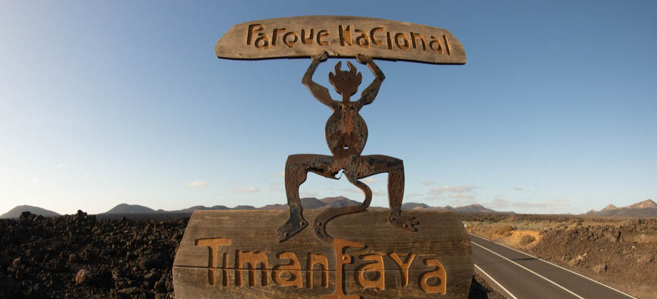
 Timanfaya National Park
 Difficulty Rating : 1.8 / 10.0
(Class 1 - Extremely Straightforward)

Getting There
From Puerto del Carmen, you need to take the LZ-504 northwards towards the town of Macher. Continue north from there along the LZ-502 via La Asomada for approximately 4 kilometres, through the wine-growing region of the valley of La Geria ![]() (Geosite LZ36), until you reach the junction of the LZ-30. Turn right here and head eastward until you get to the next junction. Turn left here and head northwards once again.
(Geosite LZ36), until you reach the junction of the LZ-30. Turn right here and head eastward until you get to the next junction. Turn left here and head northwards once again.
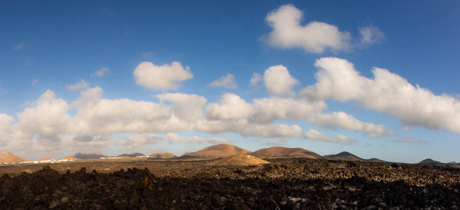
Continuing north from there will bring you past the collapsed Los Cuervos caldera ![]() on the left (Geosite LZ28) and the distinctly red volcano of La Montaña Colorada
on the left (Geosite LZ28) and the distinctly red volcano of La Montaña Colorada ![]() (Geosite LZ43) on the right. You will need to either go through the town of Mancha Blanca and turn left from there, or turn left at a small junction
(Geosite LZ43) on the right. You will need to either go through the town of Mancha Blanca and turn left from there, or turn left at a small junction ![]() to follow a road that bypasses the town. Just to the west of the town lies an intersection
to follow a road that bypasses the town. Just to the west of the town lies an intersection ![]() where the west turnoff leads to the parking lot for the trail head. The entire journey from Puerto del Carmen should take you about 20 minutes.
where the west turnoff leads to the parking lot for the trail head. The entire journey from Puerto del Carmen should take you about 20 minutes.
Timanfaya Lava Fields
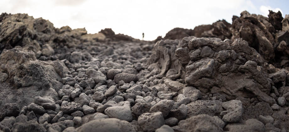
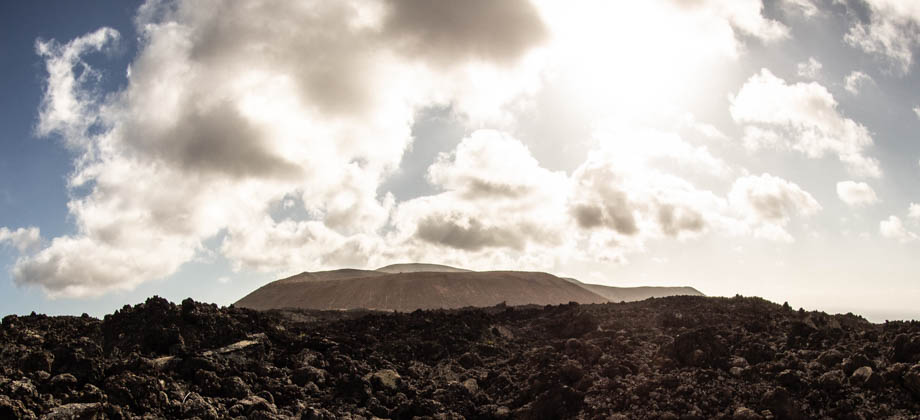
The lava fields of Timanfaya are very dramatic and consist of a variety of formations that range from lava channels, tubes, and lava terraces, to accretionary lava balls and ejected pyroclasts. The area is so unusual that some planetary biologists have even drawn striking similarities between the lava fields and the volcanic planet of Mars. These planetary biologists use Timanfaya as a model to study the relationship between volcanism and water, as well as to observe the evolution of volcanic structures over time, to further their understanding of the red planet. The lava fields predominantly consist of a'a type lava, which is when the viscosity of the lava is high, either due to gas bubbles or relatively low temperatures. When a'a lava starts to cool, it breaks up and begins to fragment, which releases gases from the lava in the process. This creates fragments that are sharp, irregular in shape, and are covered with a large number of holes, that are referred to as 'scoria'. Terrain that is made up of scoria is rough and blocky and is very hard to walk on, and is known as 'malpaís' (English: Badlands) by residents of the Canary Islands.
"From one side to another extends 'el malpais', as the lava fields are known to the Canarians.. if you climb the rough slope of loose and unsafe fragments you can see that the surface at the top has a similar appearance.. Frequently, twisted fragments can be seen or marks on the lava. It is very difficult to make progress on these (lava) streams because in such a heap there is almost no safe place to firmly put your feet down.

Hike to the Caldereta
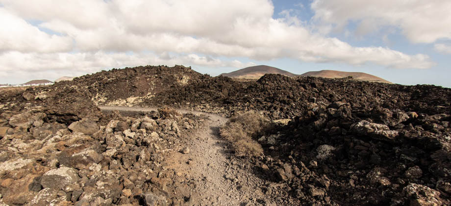
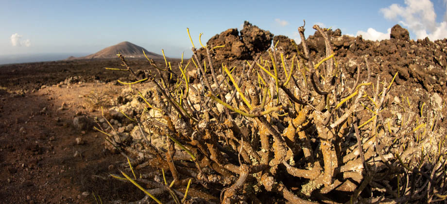
We began the hike fairly late, around 17:30. The entire area is extremely exposed and we wanted to do whatever we could to escape the brunt of the searing afternoon sun. Leaving late also meant that we would not only be able to enjoy the magnificent Lanzarote sunset, but that it would be dark by the time we descended from the caldera, which meant that we would be able to squeeze in some stargazing before having to head back to town for dinner. The path was wide from the start, but the ubiquitous scoria, albeit already having being flattened to some degree by hundreds, if not thousands, of footsteps before us, still made the path quite unstable. Lichens of various colours were splashed around on the volcanic rocks, and the occasional shrub could sometimes be seen trying to squeeze its way through narrow gaps in the rocks.


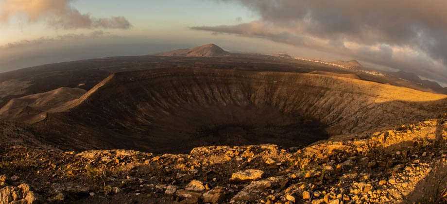
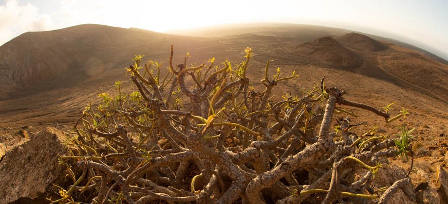
small mound just to the right of the centre of the image lies Montaña los Rostros,
whereas Montaña Tinache (Geosite LZ18) is on the far left of the image

from the base of Montaña Caldereta. The white-lined lava channel
when pressure built up and broke through the side of the lake can be seen


