
May 12, 2013
Posted by Ramon in Broadleaf Rainforests, Camping, Class 4, Day Hike, Forests, Hiking, IUCN Protected Category 6, Malaysia, Mountains, Pahang, Tropical Rainforest
IUCN Protected Category 6


7

0
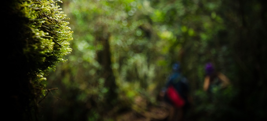
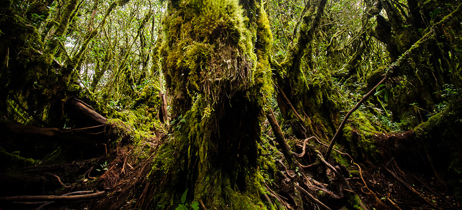
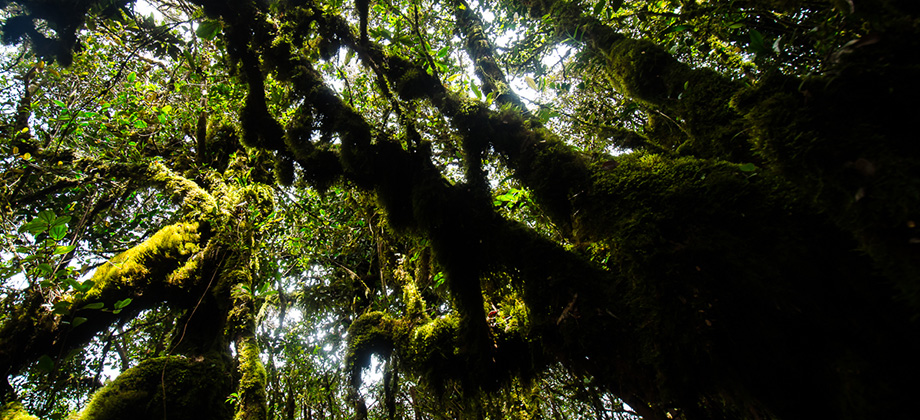
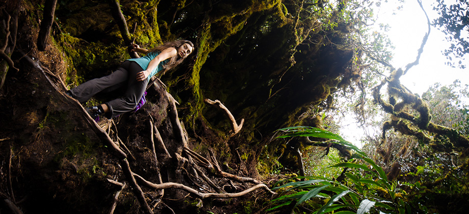
May 11, 2013
Posted by Ramon in Broadleaf Rainforests, Camping, Class 3, Day Hike, Forests, Hiking, IUCN Protected Category 6, Malaysia, Mountains, Pahang, Tropical Rainforest
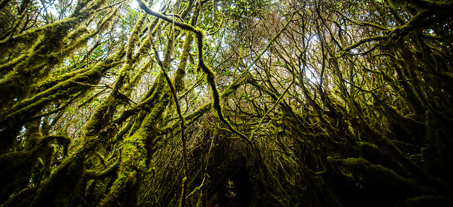
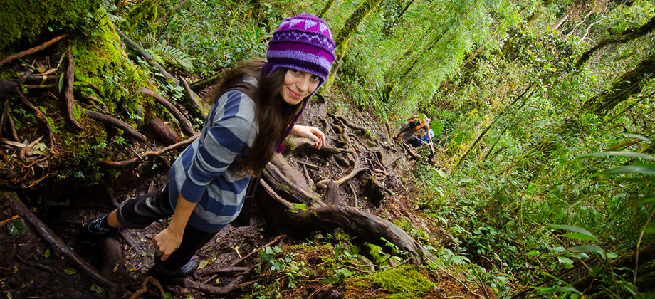
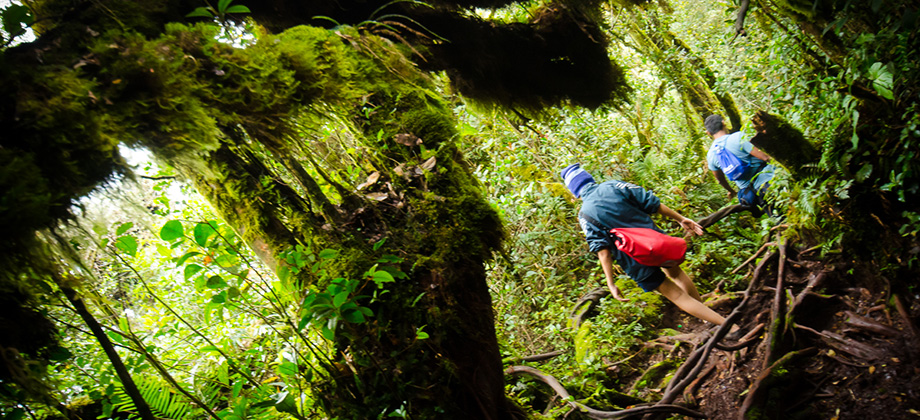
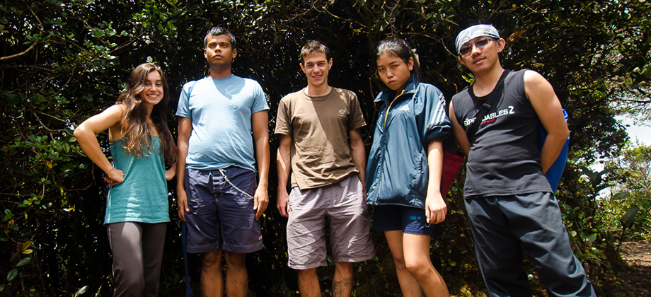
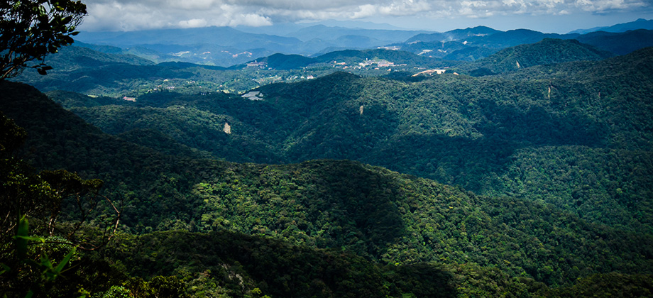
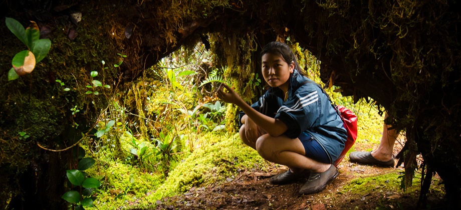
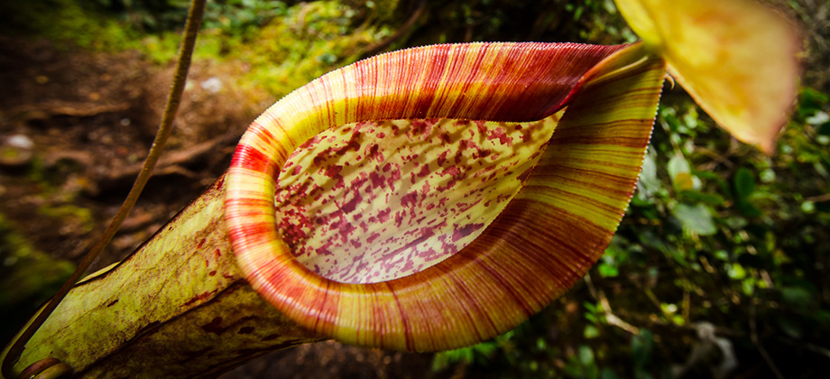
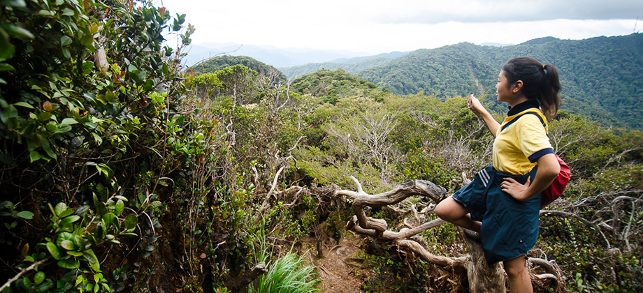
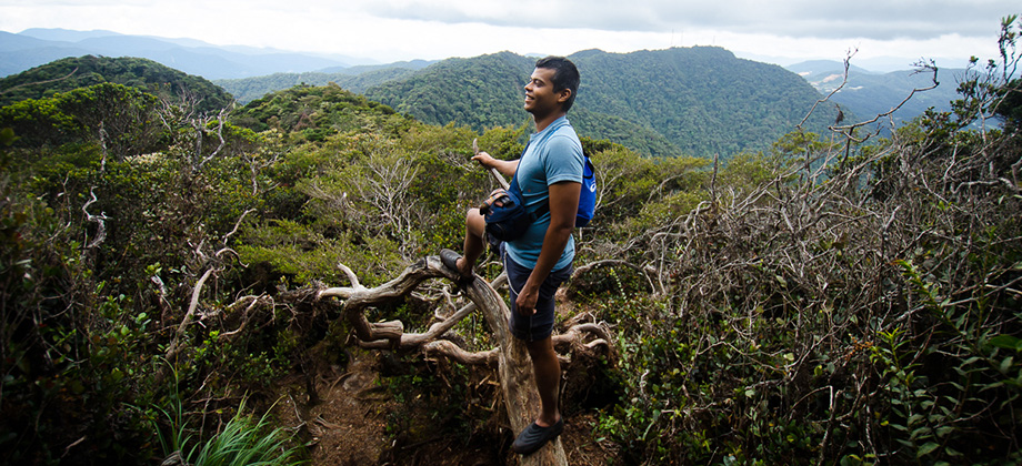
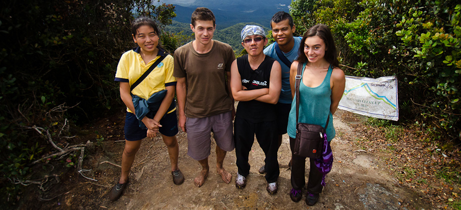
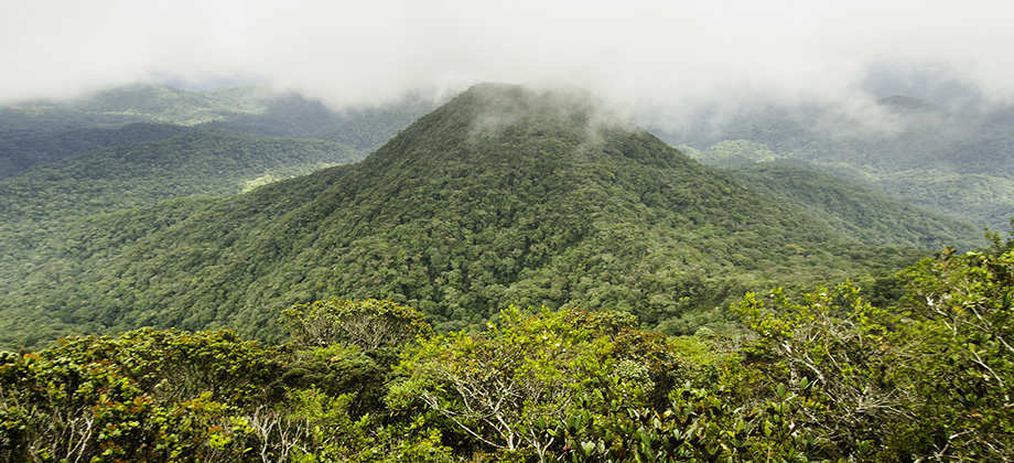
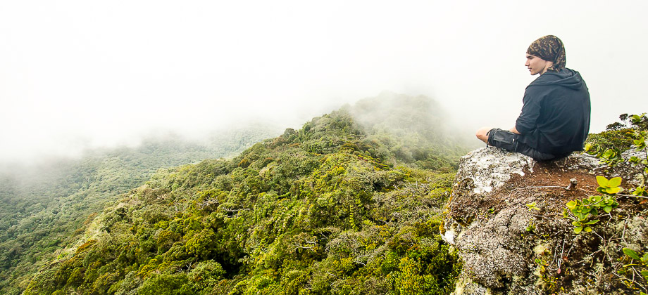
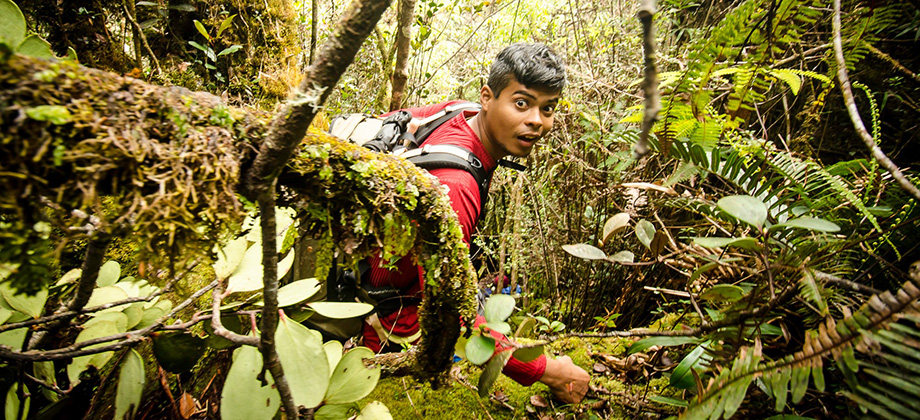
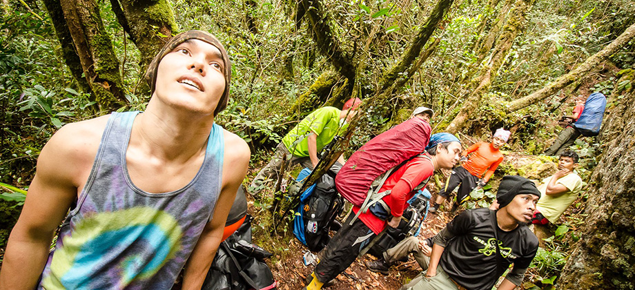
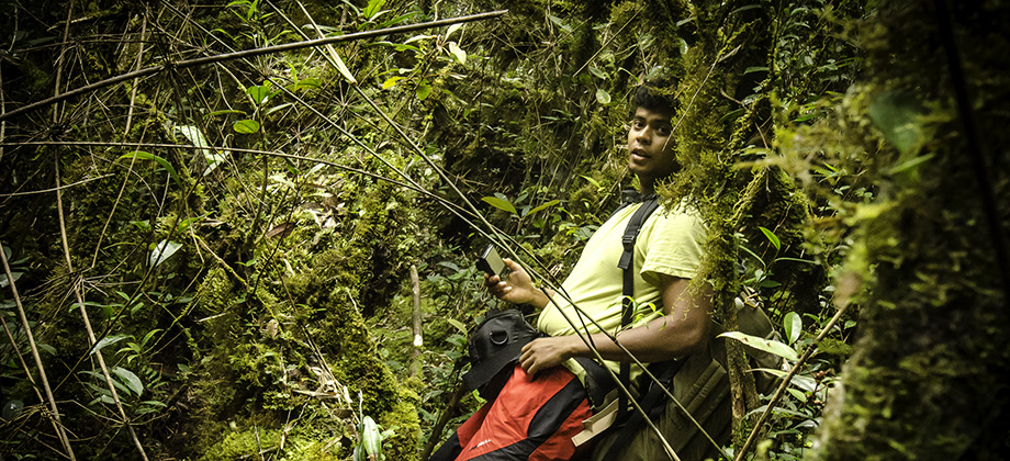
Mount Brinchang
After Mount Irau (elevation : 2110 m), Mount Brinchang (elevation : 2031 m) is the second highest mountain in Cameron Highlands. It is one of the most popular treks in the area as it is easily accessible by what is considered the highest road in Malaysia. Before we go on, please jot down the numbers that are listed below. If you do see any suspicious behaviour when out hiking, encounter things like traps and snares, or Read more
0
May 10, 2013
Posted by Ramon in Broadleaf Rainforests, Camping, Class 2, Day Hike, Forests, Hiking, IUCN Protected Category 6, Malaysia, Mountains, Pahang, Tropical Rainforest
Mount Jasar
Mount Jasar can be reached with a short trek via trail 6 from the Cameron Bharat Tea Plantation as well as from trail 10 which begins just behind the Oly Appartments and at the end of Tan's Camellia Garden. Tan's Camellia Garden is private property however so if you find the gates to be closed, you can just head up the slope to the right of the compound before you reach the gates which will also end up leading to trail Read more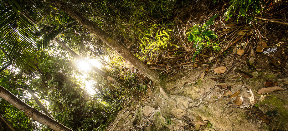
0
March 9, 2013
Posted by Ramon in Broadleaf Rainforests, Class 3, Day Hike, Forests, Hiking, IUCN Protected Category 6, Malaysia, Mountains, Selangor, Tropical Rainforest, Waterfalls
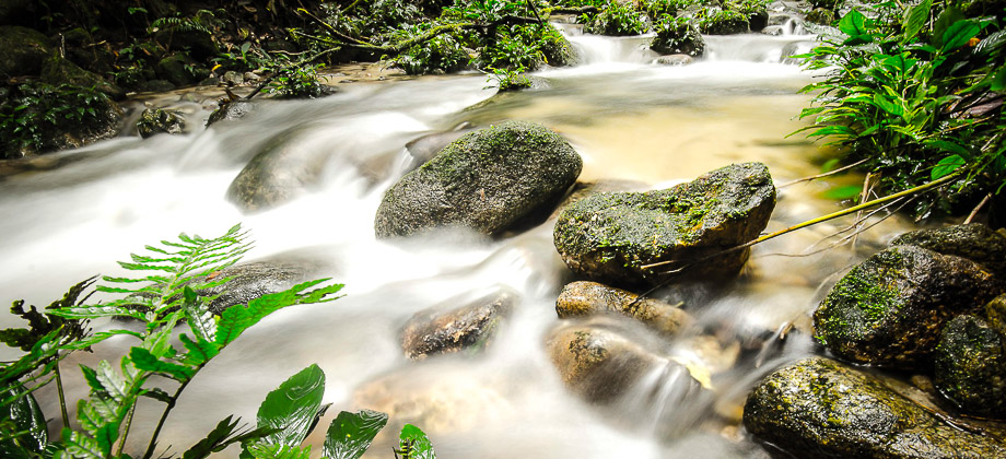
Saga Hill & Waterfall
Saga Hill was a pretty straightforward trek compared to almost everything else that I had done before. Despite the pace being very slow as the fairly large group had a lot of beginners, the peak was reached with roughly a half hour of steady trekking. The trail up to the peak lacked a view however but due to the low level of difficulty and its proximity to the city center, it is optimal for those who are either new to trekking Read more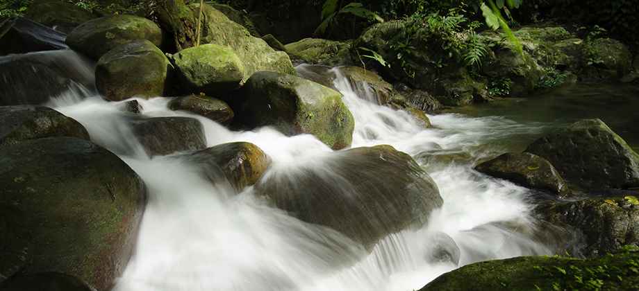
1
February 23, 2013
Posted by Ramon in Broadleaf Rainforests, Class 6, Day Hike, Forests, Hiking, IUCN Protected Category 6, Malaysia, Mountains, Selangor, Tropical Rainforest, Waterfalls
Mount Nuang (Kuala Pangsoon)
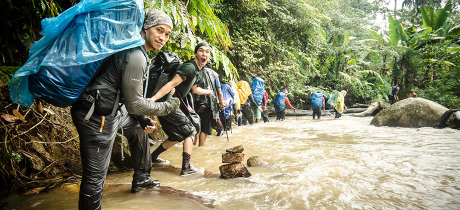
The group rose bright and early for the long drive to Kuala Pangsoon in Ulu Langat which lay on the east side of the state of Selangor. The trail for the trek up to the summit of Mount Nuang, which is one of the highest mountains in Selangor, began just before the Sungai Langat Dam at GPS coordinates '3.217420, 101.883090'. Before we go on, please jot down the numbers that are listed below. If you do see any Read more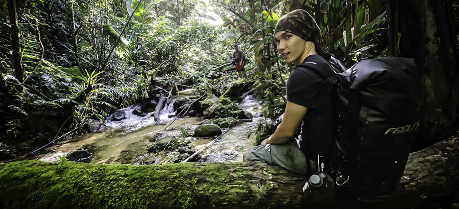


0
February 8, 2013
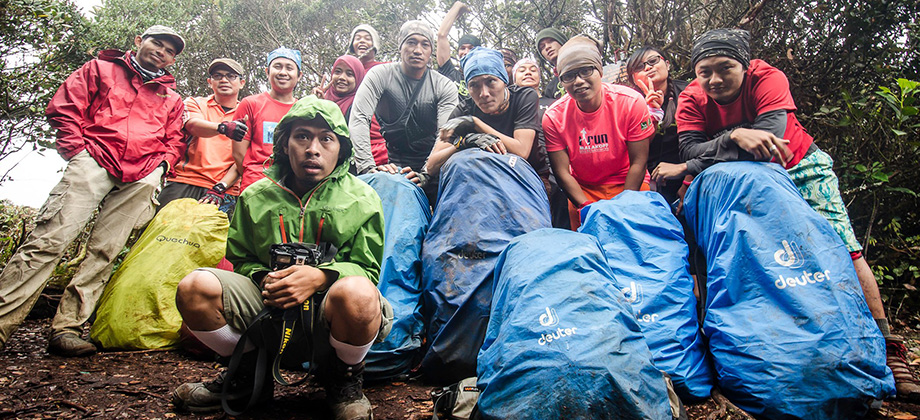
Posted by Ramon in Broadleaf Rainforests, Camping, Class 6, Forests, Guided Hike, Hiking, IUCN Protected Category 6, Kelantan, Malaysia, Mountains, Multiday Hike, Tropical Rainforest