
October 5, 2018
Posted by ramon in Broadleaf Rainforests, Camping, Class 7, Forests, Guided Hike, Hiking, Kelantan, Malaysia, Mountains, Multiday Hike, Perak, Tropical Rainforest
Tag: Titiwangsa


1
0
October 4, 2018
Posted by ramon in Broadleaf Rainforests, Forests, Hiking, Kelantan, Malaysia, Perak, Tropical Rainforest
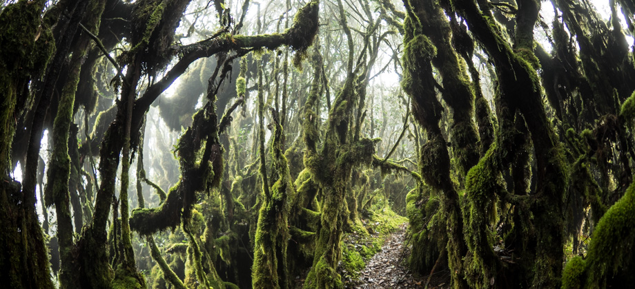
Titiwangsa Range
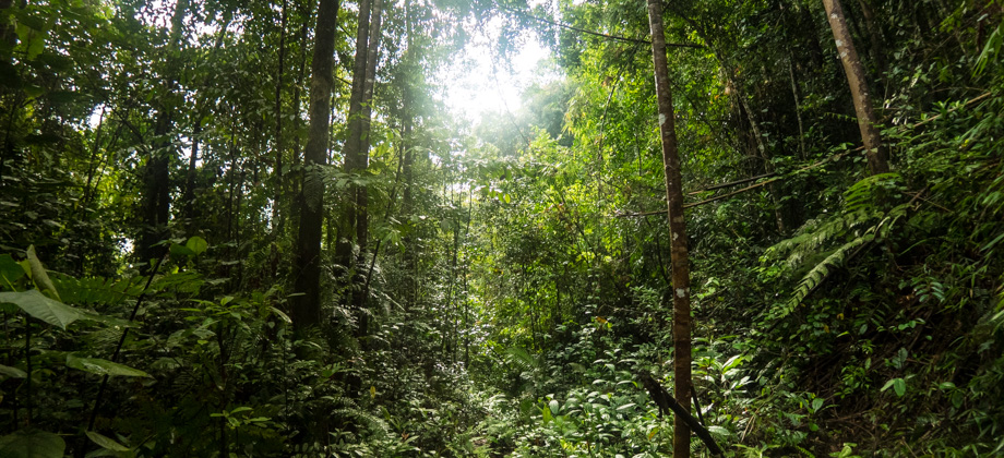
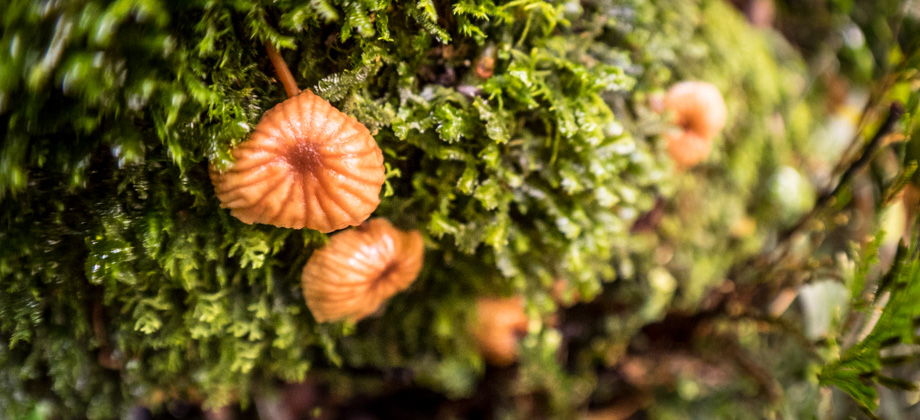
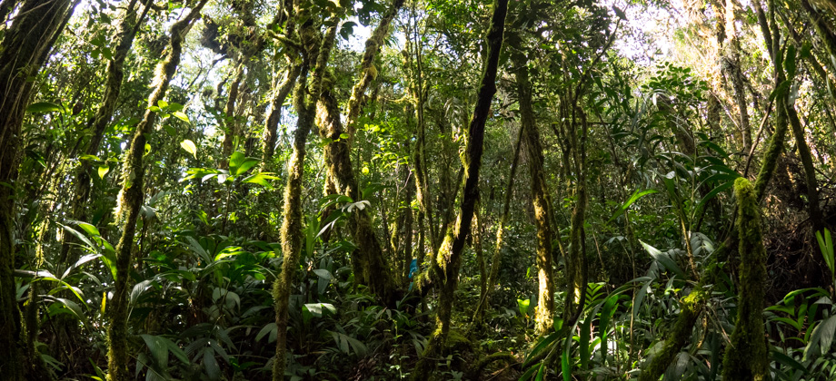
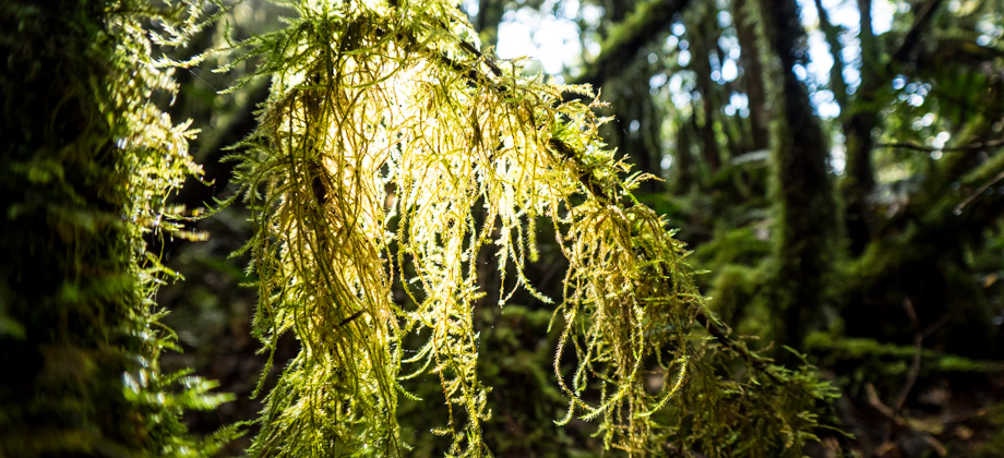
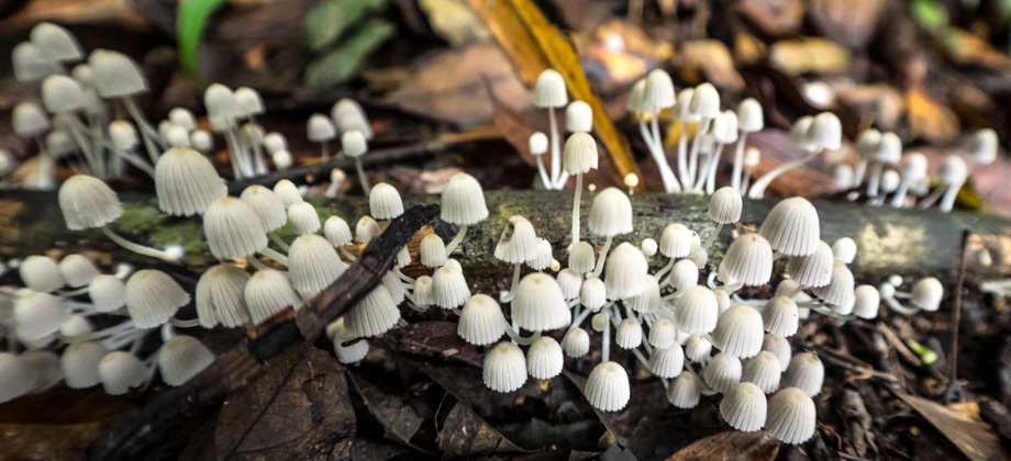
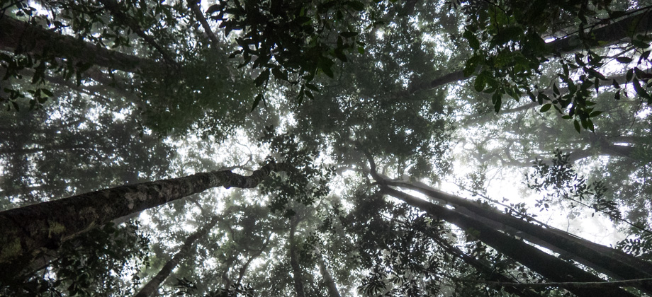
The Titiwangsa Range forms the spine of Peninsular Malaysia and divides it naturally into the east and west coastal regions. The main section of the range runs along the border that separates the state of Perak in the west and Kelantan in the east. As you make your way up north along the state border, you will eventually come across two protected areas: Stong State Park on the east, and Royal Belum State Park on Read more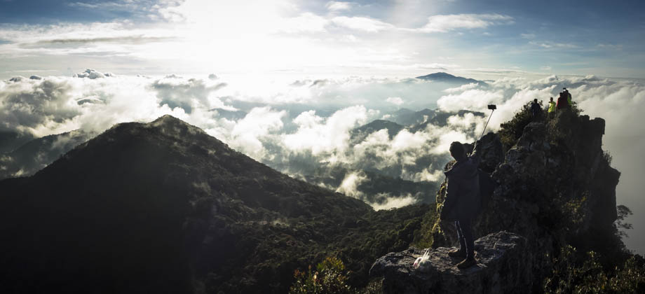
0
February 25, 2017
Posted by Ramon in Broadleaf Rainforests, Class 6, Forests, Guided Hike, Hiking, IUCN Protected Category 6, Kelantan, Malaysia, Mountains, Multiday Hike, Tropical Rainforest
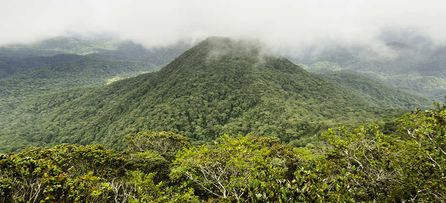
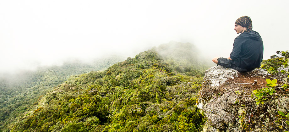
Mount Tok Nenek (Single)
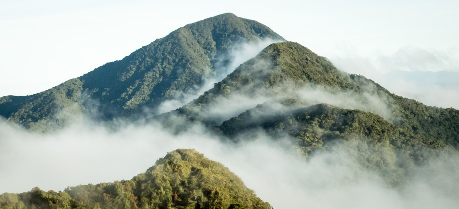
Mount Tok Nenek (elevation: 1904m) is well-known for the spectacular 360-degree views that its jagged summit has to offer. The hike to the summit follows a fairly well-established route that heads north-westwards towards the peak. Once you reach the peak, you either turn around to follow the same route back down (called 'Tok Nenek Single'), or continue northwards on to the peaks of Bubu (elevation: 1974m) Read more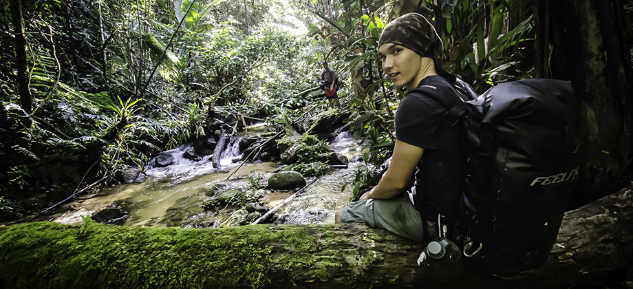


0
February 8, 2013
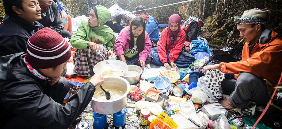
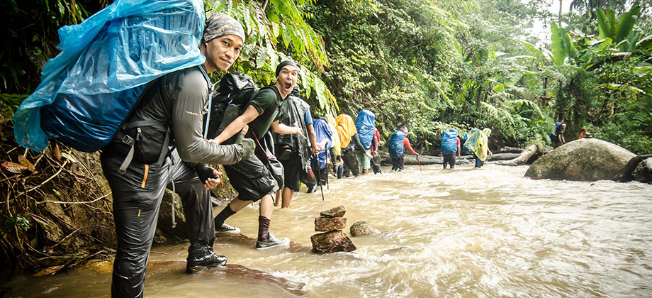
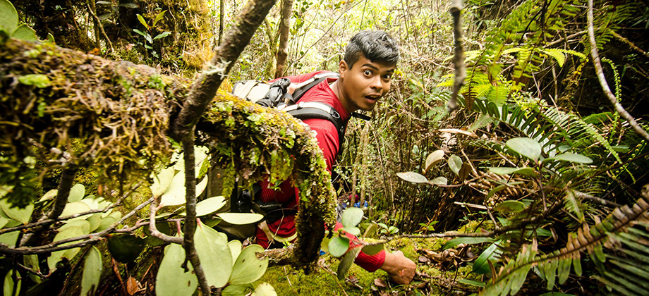
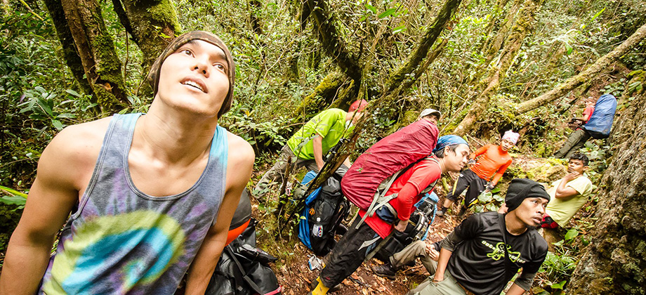
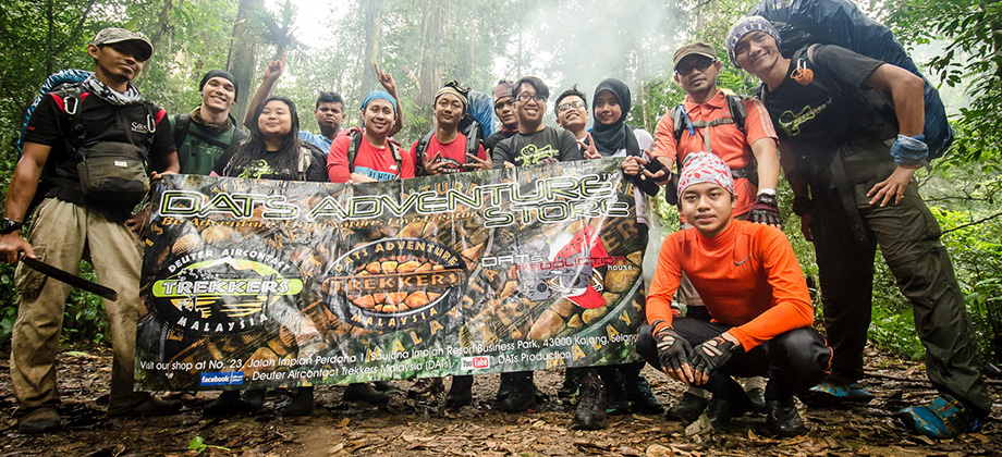
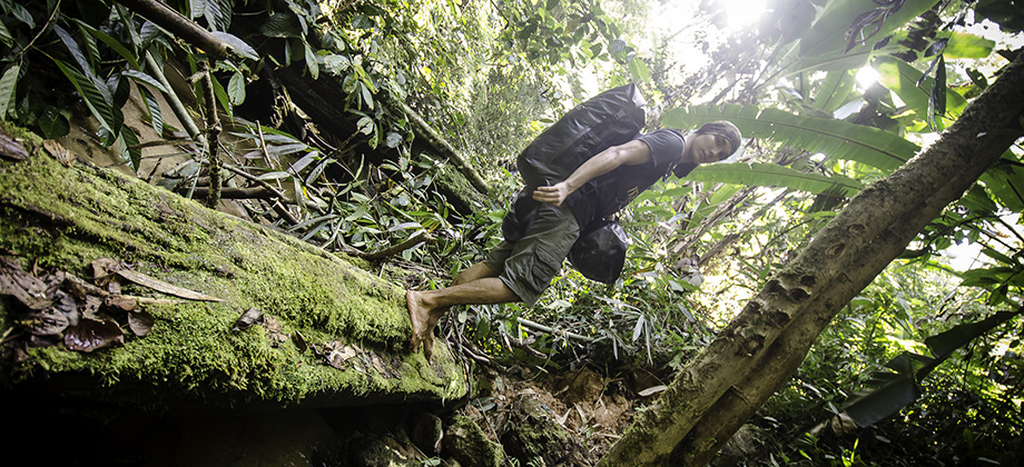
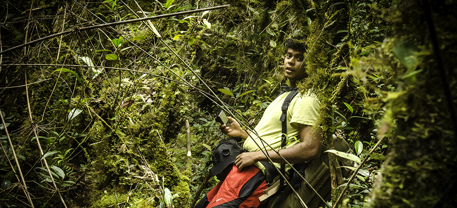
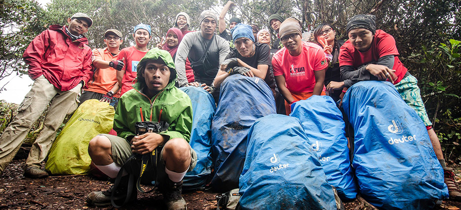
Posted by Ramon in Broadleaf Rainforests, Camping, Class 6, Forests, Guided Hike, Hiking, IUCN Protected Category 6, Kelantan, Malaysia, Mountains, Multiday Hike, Tropical Rainforest