Galtee Loop
The Stone Wall
The trail dropped down to the shoulder between Galtymore and Slievecushnabinnia, and continued to follow the county borderline. This was where the stone wall began. The wall was strangely incongruous way up here in the mountains, and the sheer length of it (it stretches on for several kilometres!) made me wonder how many people were involved building it, as well as why it was ever built in the first place. Nevertheless, I figured that it would come in handy both as a shelter of sorts to escape the biting wind, as well as a guide that one could follow for navigation--a 'handrail' if you will.

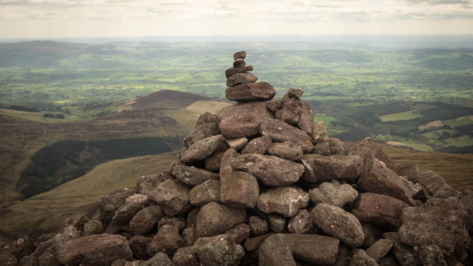
The wall swung towards the indiscernible peak of Slievecushnabinnia (elevation : 775 m) and passed the large lake of Lough Curra, the highest lake in the Galtees. Shortly after, the wall turned westwards and past the peak cairn at the 8.5 km mark. It then departed from the county borderline, as the latter suddenly swung northwards instead. I was now walking in County Limerick, and past large numbers of sheep (Ovis aries) as they dotted the slopes in front of me. I ended up walking past the summit of Carrignabinnia (elevation : 823m) without realising it, as the summit was not discernible and the marker lay on the other side of the wall and out of sight. The peak of Lyracappul (elevation : 825 m), which means 'confluence of the horse', lay shortly after that.

The range seemed to taper off after Lyracappul, so I turned south and made my way down the slopes. Instead of following the Knockaterriff ridge, which was just a piece of high ground on the ridge that led south to the summit of Knockaterriff (elevation : 692 m), I dropped down into the valley, before joining the river that flowed towards the parish of Templemichael.
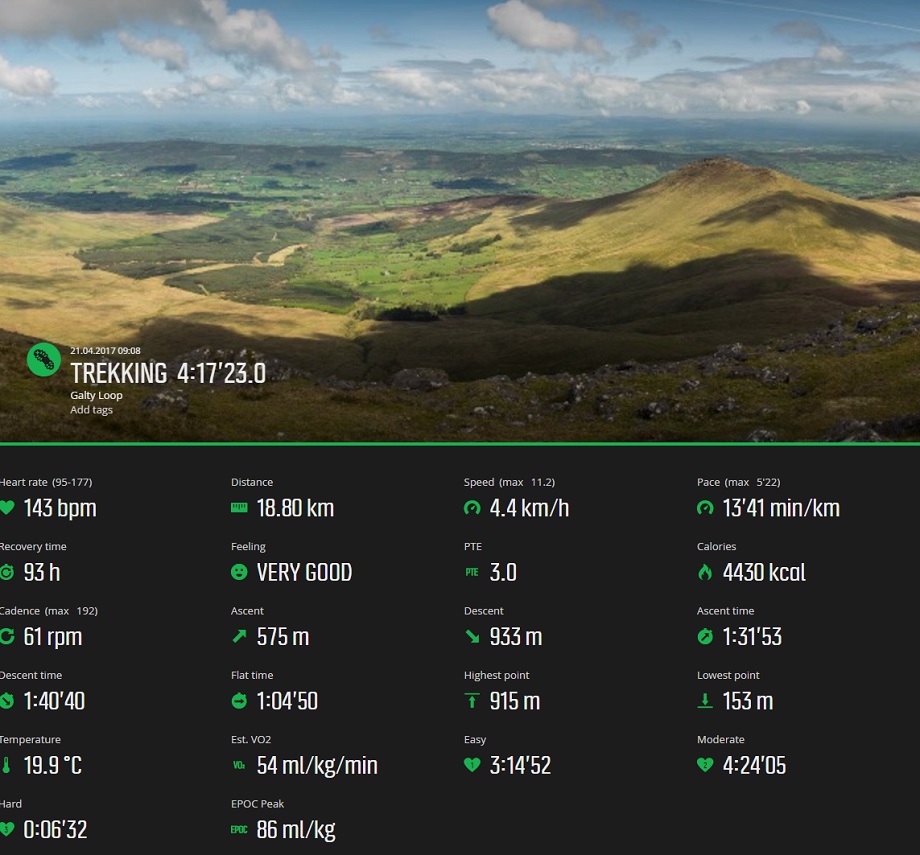
The initial plan had been to walk a distance of one kilometre on the main road before turning left into the small Carrigeen roads and the Attrychraan Loop. The loop would then ultimately end up at the Galtee Castle. Unfortunately, I was unable to find the actual turnoff (that was actually located at 52.327614, -8.198676) as they all looked like they were on private property. I instead decided to just walk 5 kilometres along the never-ending roads that I knew would get me back to the castle carpark.
"Saol fada chugat!"
Route Playback


Hi Ramon just wanted to say thanks for this excellent guide, was planning to head down and do the three peaks next weekend but alas not to be. Sent your weblink to some friends we’re hoping to do this hike next year and reach that pub 🙂 all the best Tony https://www.outsideonline.com/2406629/old-forge-pub-scotland-highlands-uk
Thanks so much for the support, Tony! That’s a nice article btw.. all the best with the hike and I hope you enjoy the rewarding drink at the end! 😀