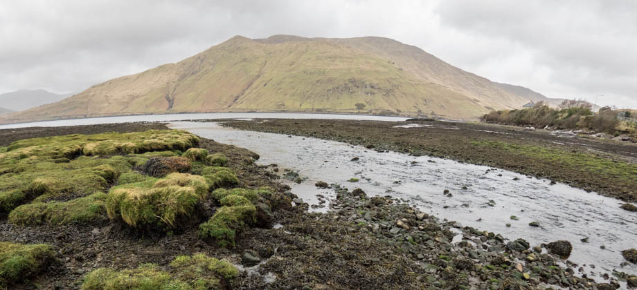
Killary Fjord
Killary Fjord
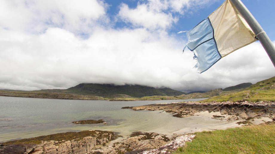
of Inis barna (Irish: Gap Island) and its beacon can just be seen in the distance. This
beacon is one of two 'leading lights' that, when aligned, indicate a safe bearing for
boats that are attempting to enter the fjord.
Diving the Fjord
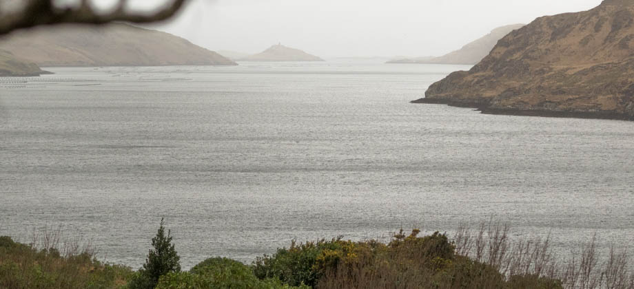
Killary Harbour is a fairly narrow channel and as such, is kept relatively sheltered and protected from the occasional fury and strong currents of the North Atlantic Ocean. This not only makes it an ideal location for scuba diving, but is also one of the reasons why the area is a prime location for shellfish farming. The marine animals most known to local divers, however, are the conger eels (Conger conger). These massive eels can grow to over two metres in length and have been known to weigh over 70 kilograms, making them the largest eels in the world by weight. They are also fairly aggressive when provoked and can, albeit extremely rarely, even attack divers.
Nearest Hyperbaric Chamber
University Hospital Galway Hyperbaric Medicine Unit Newcastle Road Galway, Ireland Telephone: +353 (0)91-524222 / 544544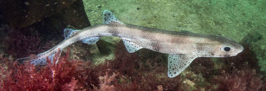
Scubadive West
Scubadive West is a family-run PADI 5 Star Dive Centre that is located right on the mouth of Killary Fjord. The dive centre was established back in 1992, and is currently run and operated by two brothers, Cillian and Breffni Gray. The centre offers a large range of PADI dive courses as well as dive gear rental. The full list of what the centre offers, the prices, as well as their booking and cancellation policies can be found on their website.
Scubadive West
Contact Person: Breffni and Cillian Gray Address: Lettergesh, Renvyle, Co. Galway, H91 W938, Ireland Telephone: +353 95 43922 E-Mail: info@scubadivewest.comGetting There
The journey from Galway to Scubadive West should take you an hour and a half. First head north-west out of Galway along the N59. The road will take you through the towns of Moycullen and Oughterard before reaching Maam Cross Junction ![]() . Turn right once you reach the junction and head north along the R336 until you get to the next junction
. Turn right once you reach the junction and head north along the R336 until you get to the next junction ![]() . Turn left here to travel north-west once again and past the town of Maam. Eventually you will arrive at the town of Leenaun, which is located at the end of the fjord
. Turn left here to travel north-west once again and past the town of Maam. Eventually you will arrive at the town of Leenaun, which is located at the end of the fjord ![]() .
.
If you continue along the road from Leenaun, without crossing the bridge, you will be on the Connemara Loop. This road will take you westward and runs parallel to the southern shore of the fjord. The road will slowly curve southward, and just over 7 kilometres from Leenaun, you will reach a junction where you need to turn right ![]() . Continue along this road for another 7 kilometres until you reach the next junction
. Continue along this road for another 7 kilometres until you reach the next junction ![]() . Make a sharp right here (almost a U-turn), follow the road for about 300 metres, then turn left and follow the road to the very end.
. Make a sharp right here (almost a U-turn), follow the road for about 300 metres, then turn left and follow the road to the very end.