Senyum Caves
Speleothems
Limestone refers to any rock that is composed primarily of calcium carbonate (CaCO₃), most of which begins to form in warm and shallow marine water. Coral reefs produce calcium carbonate skeletons and the various marine organisms that inhabit them have the ability to precipitate calcium carbonate from the water in order to build up their protective shells. Over long periods of time, layer upon layer of these skeletons and shells accumulate and end up getting lithified into limestone. The fossils can sometimes easily be seen on the surface of limestone today, such as those on the limestone slabs that line the sides of the walkways along the Cliffs of Moher in Ireland.
Aside from biological means, limestone can also be formed by chemical means. In caves, calcium carbonate-rich water slowly drips down through cracks and holes in the ceilings. The water evaporates (and/or degasses) and leaves the calcium carbonate deposits behind. Over time, these deposits accumulate to form various shapes (known as 'speleothems'--which will be highlighted in grey), the most well-known being stalactites and stalagmites, both of which were formed by dripping water. The former grow down from the ceiling, are sharp and icicle-shaped, and are often hollow; whereas the latter grow upwards from the floor, tend to have more rounded tips, and are solid. As the two ends continue to grow towards each other, they eventually meet and form a column, which is known as a stalagnate.
Interactive Location Map
The image below shows the southern end of the Senyum cave complex.Hovering your cursor over the image will show you the rough location and the names of some of the caves.

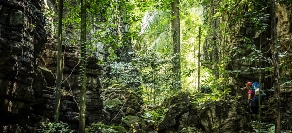
There are apparently a total of 25 caves (the names of which will be highlighted in blue) in the Senyum cave complex, but only 18 or so are accessible to the public. We decided to explore the caves over a total of two days before heading over to Jebak Puyuh. We began the first day by heading north and turning left at the lake with the broken bridge. We followed the path for a while before veering off the path shortly after, then turned right and straight into Angin cave (English: Wind cave), where we were met with a welcoming burst of wind as we passed through the huge cave opening. Large caves like this are constantly trying to equalise their internal air pressure with that of the outside in order to remain in equilibrium. A high pressure system outside the cave will force air into the cave, whereas a low pressure system will draw air out, hence the wind. This process is referred to as 'cave breathing'.
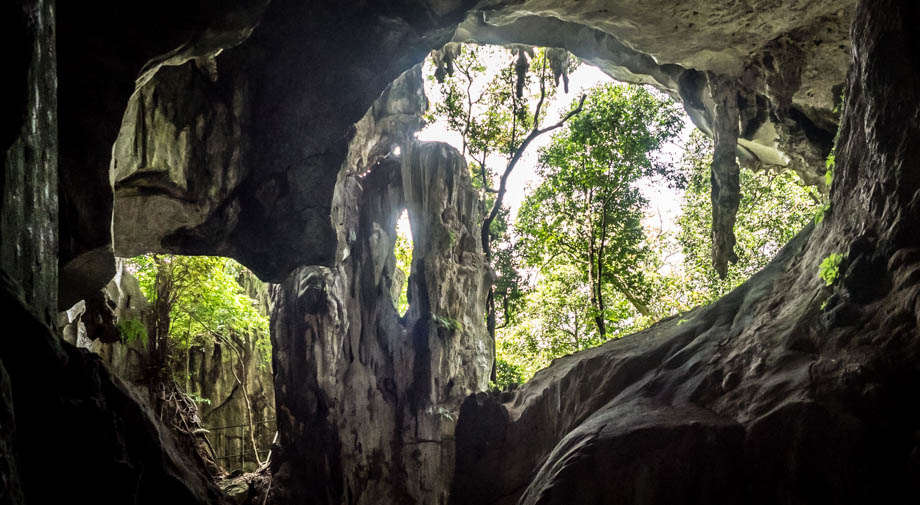
A left turn at the end of Angin cave led directly into the massive Terang Bulan cave (English: Bright Moon cave). The path morphed into a beat-up walkway with railings on both sides, that swerved around boulders and various speleothems that were surrounded by numerous cave crickets, cockroaches, spiders, and mounds of guano. The walkway ended at the end of the cavern beside a small pool of water that was inhabited by cave crabs. Craning our necks upwards revealed a fantastic example of karsification--a huge shaft which led to much narrower openings even higher up. When the time is right, these openings, more than a hundred metres above, let in a narrow beam of light that illuminates the cavern.


Since we planned to only explore the caves north of Angin cave on the first day, we decided to make our way back through the large cave opening and back outside. We walked northwards for a while and past some impressive flowstones, then ascended the stairwell that led up to Kolam Tujuh cave (English: Seven Pools cave). The impressive pool speleothems inside the cave were fantastic, but the horrific graffiti that was scrawled around the cave walls left a bitter taste in my mouth. The shapes of speleothems are basically determined by the movement of water. Flowstones, like the ones that we passed earlier, are formed when water flows down sloping walls instead of dripping down from cave ceilings; they are instead called draperies when they are thin, wavy sheets, and bacon when they have orange-red bands. Pools, like the ones in Kolam Tujuh cave, form tiered rimstone dams when water flows over the edges, and sometimes shelfstone, which are ledges that are flat on top with slopes underneath, when there is splash back from water that drips into the pool.

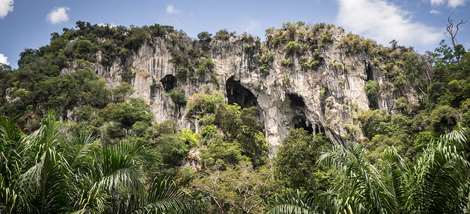
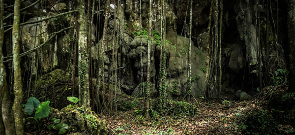
Just outside Kolam Tujuh cave was a large overhanging rockface that was quite unlike the green moss-covered walls of Angin cave that we had just left behind. The overhanging rockface was white with dark streaks, and reminded me very much of White Mountain in China, with tufas, pockets, and a huge potential for fantastic climbing lines. The trail from here also looked as if it was seldom used, but there were red tape markers scattered around that guided us back towards the cave complex on our right. The next cave that we came across was Hidang cave. We spotted a fair amount of interesting things around here: wild boar and porcupine tracks, colonies of mushrooms, large buttress roots, and an unidentified black snake that slithered around the rattan trees.
There were a couple of interesting caves that were located further north, including Tapa cave (English: Meditation cave), but they are much further away from each other. The closest, largest, and easiest cave cluster to access from the camp site is definitely the Angin-Terang Bulan-Taman caves, so those would be the ones to head to first for those who are low on time or have mobility issues.


