


Stirling Ridge Walk - Day 3
Stirling Ridge Walk Index
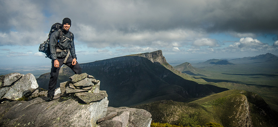
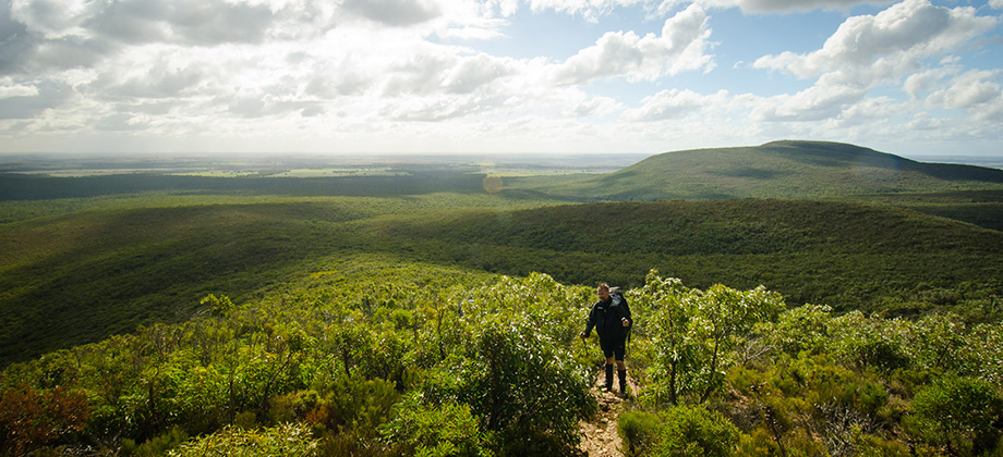
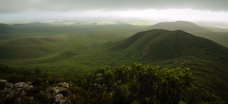
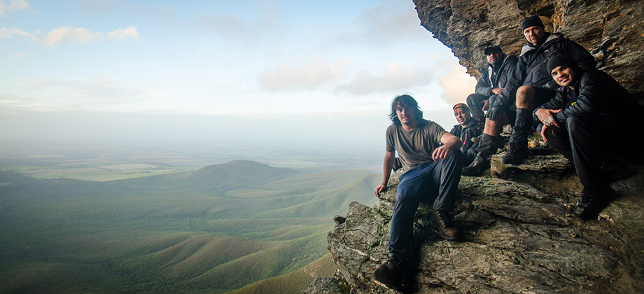
Leaving Isongerup
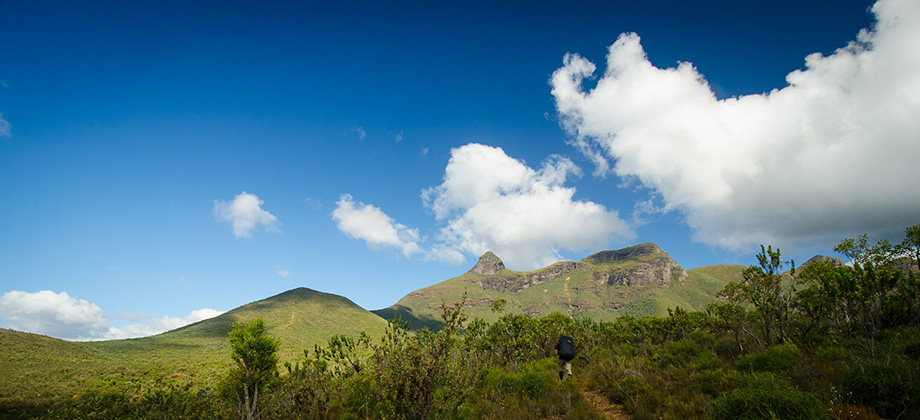
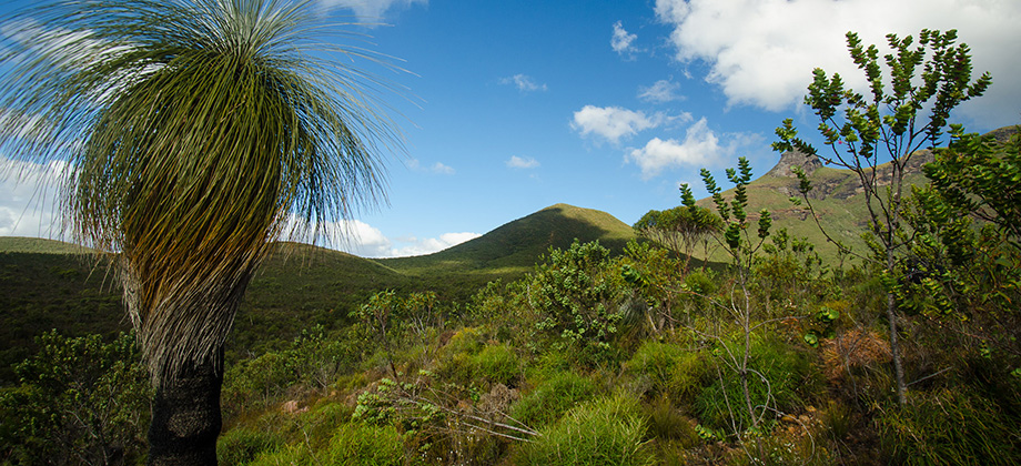
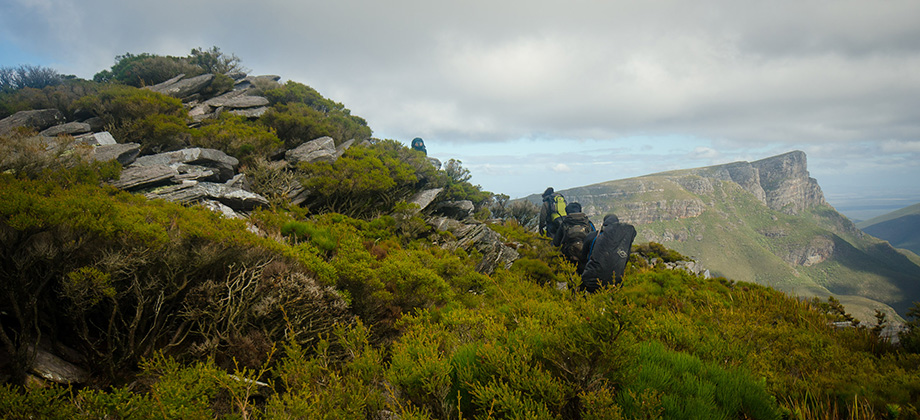
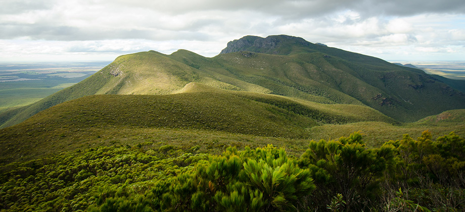
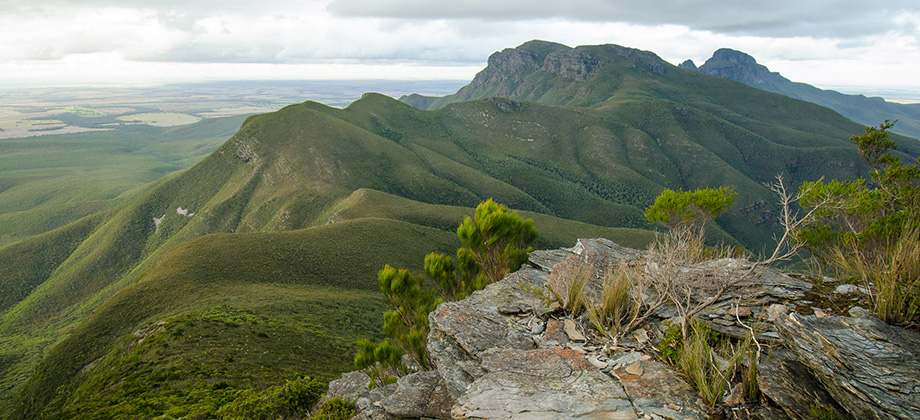
After the peak of Isongerup South, the path continued south-west and descended down the hill. The terrain gradually changed from sparse plants and mud, to low-lying knee-high shrubbery, and finally to thickets of taller Eucalypts (Family: Myrtaceae). The path diverged once again with one branch heading left up the short walk to the peak of Moongoongoonderup Hill (elevation : 732 m) and the other continuing north-west along the ridge. The clearing at the junction had flat ground that was spacious enough for a decent campsite. The path continued along up and past a rocky ledge and on towards more Eucalypt thickets as it rounded the hill. There was another clearing for a campsite on the saddle and it was roughly around this point when we somehow managed to veer off the track far enough that we had to resort to a bit of unpleasant bush-bashing in order to get back to where the track was supposed to be. The escape route that joins the North Isongerup track veers off northwards as this path rounds the next hill.
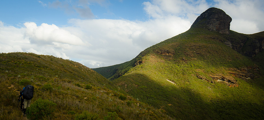
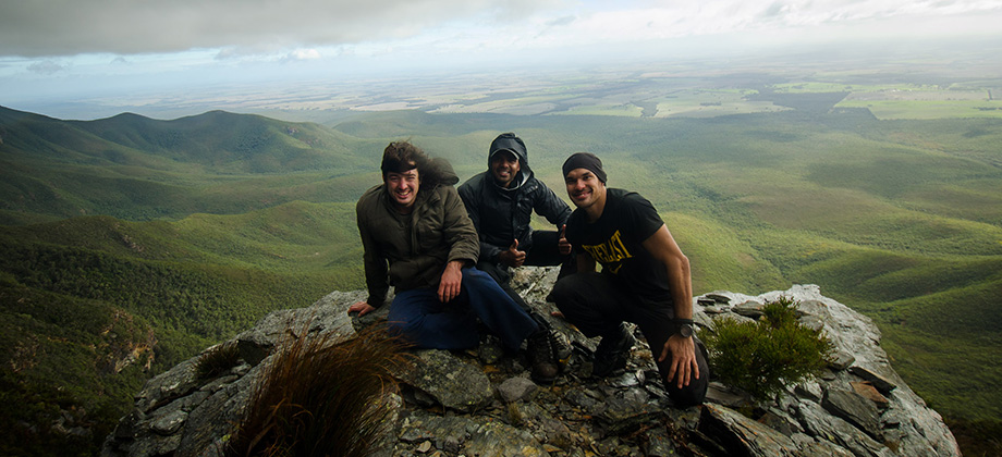
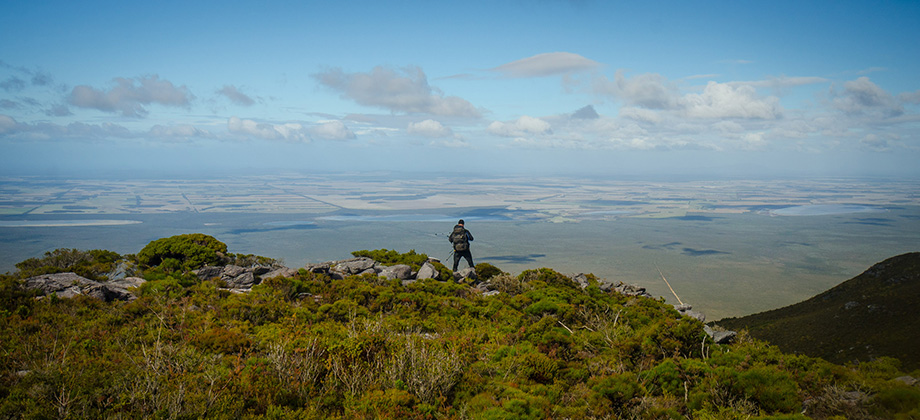
 As the trail veered south-west and began to descend the hill once again, I got the impression that this stage of the hike was having an enervating effect on the group. The long 2.5 km trudge from the base of Isongerup South through mostly nondescript terrain was probably to be blamed although I personally was left a little despondent by the wide swath that we had likely carved through the thicket moments earlier, as I try my best to leave as little a trace of my presence as possible. Just as ennui began to set in, the trail once again began to ascend up towards East Peak and the views that opened up seemed to bring a much needed feeling of rejuvenation to the group.

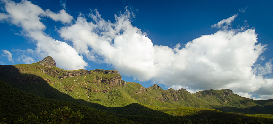
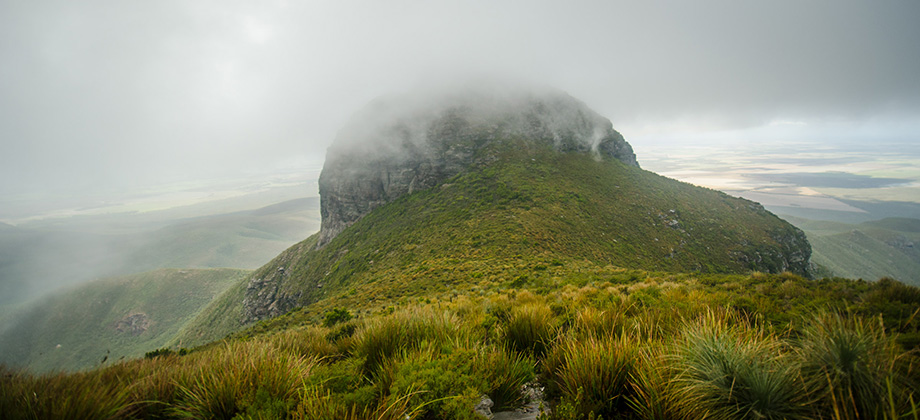
East Peak
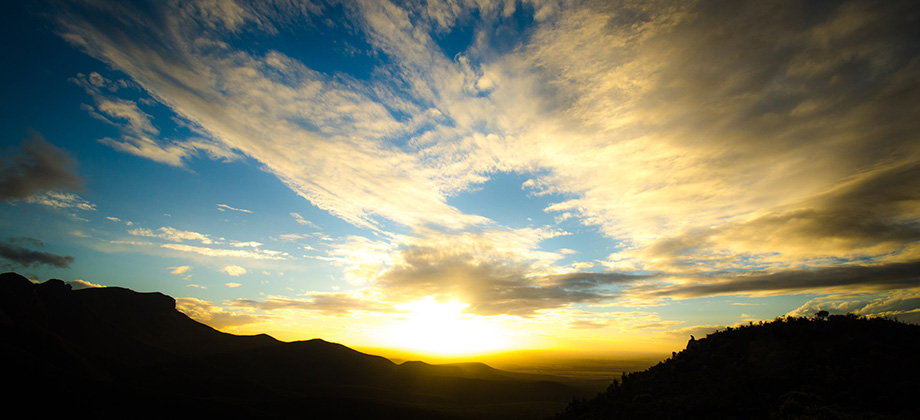
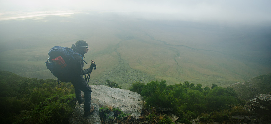
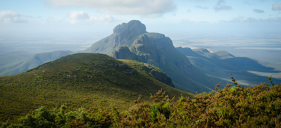
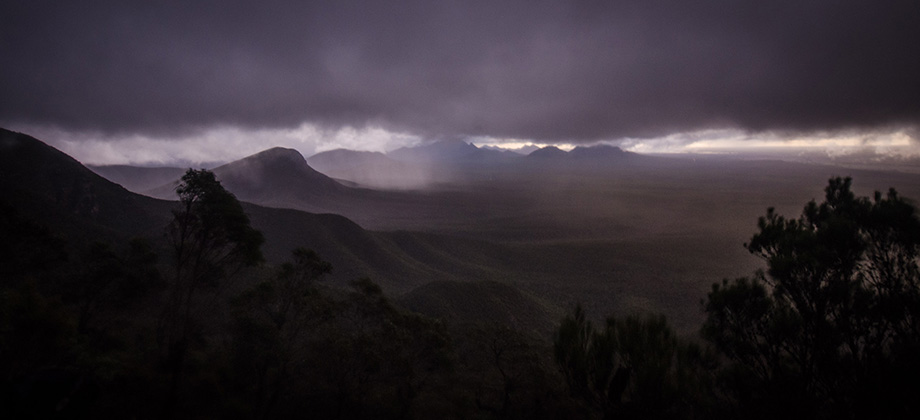
East Peak was made up of several rocky terraces but upon rounding the peak, a dense white-out descended upon the group leaving us with a visibility of only several metres. We trudged on nonetheless and made our way towards the chasm that separates East Bluff and Bluff Knoll. At one point, the long diagonal silhouette of Bluff Knoll materialised in the mist ahead of us, completely catching me unawares. Just moments after that we reached the peak. This all happened so unexpectedly that the entire situation felt somewhat anti-climatic. The glorious views and sunset that I had been looking forward to were utterly obscured by the white-out leaving us with no option but to carry on with the 3 km walk down to the Bluff Knoll carpark. Towards the end (and is always the case at the end of a good hike), I felt myself becoming a little lugubrious as thoughts of having to return to 'civilization' entered my head. I suppose thoughts of the next hike will just have keep me going!

Route Playback


