


April 18, 2014
Posted by Ramon Fadli in Australia, Camping, Coastlines, Forests, Hiking, Mediterranean, Sclerophyll & Mediterranean Forests, Solo Hike, Western Australia
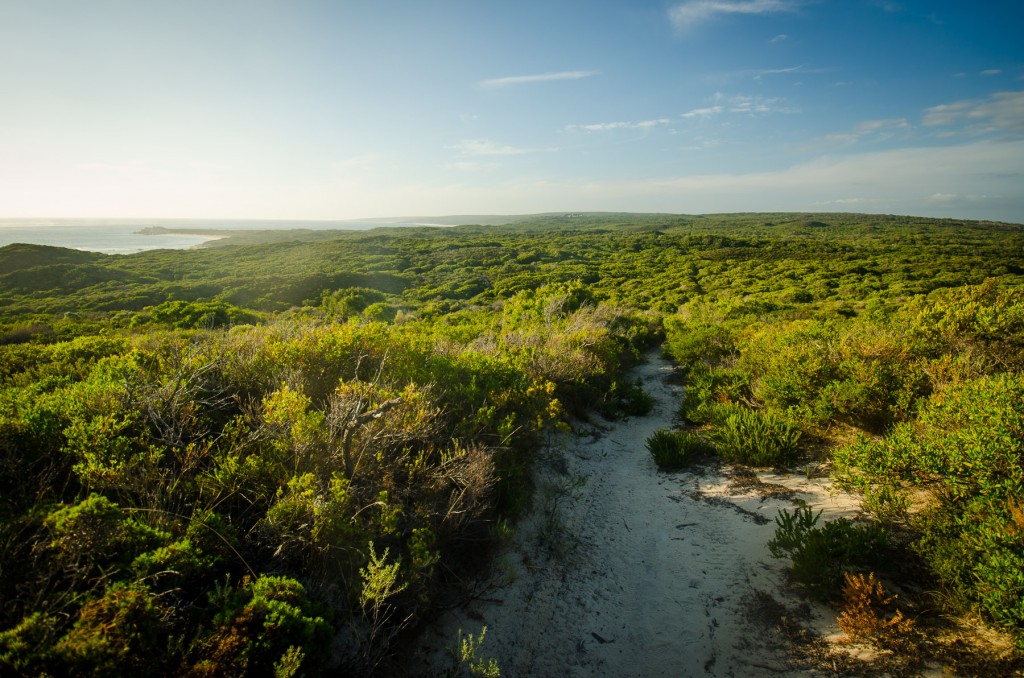
Cape to Cape Day 05 – Conto's to Deepdene
Cape to Cape Index
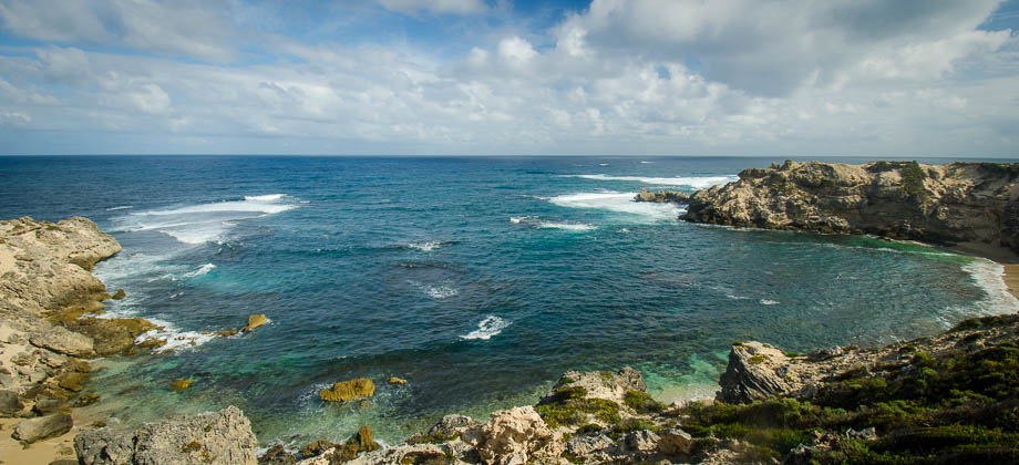
Hamelin Bay
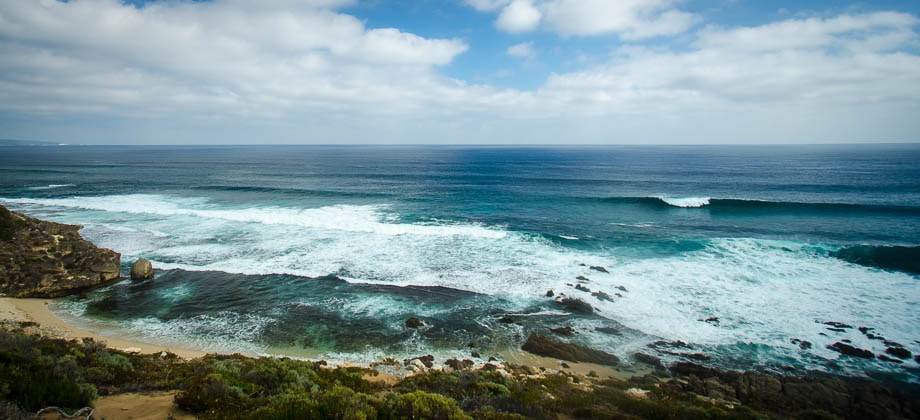
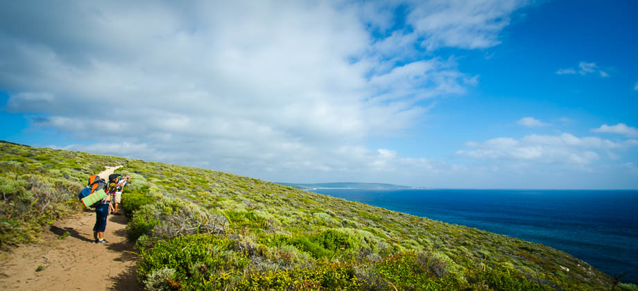
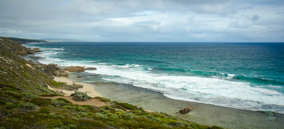
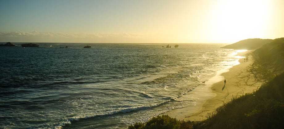
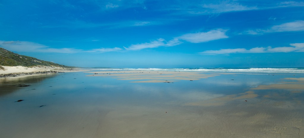
I reached the coastline at the 15.8 km mark and was greeted by the blazing sun and the unwavering roar of the ocean. Frolicking surfers stared at me bemusedly as I passed by lugging my backpack. All I could do at the time was to continue to march on, keeping my head down and pulling the peak of my buff low to escape the glare of the sun.
 As I was walking, I couldn't help but notice that my shadow stretched out in front of me despite it being midday. This told me a few things - I was not at the equator, that being in the Southern Hemisphere meant that I was currently traveling south; and that if I were able to measure the angle of the sun's elevation in the sky, I would be able to calculate my approximate latitude. As it happened, my shadow then was almost exactly the same length as I was tall which meant that the altitude of the sun was approximately 45 degrees (this was handy as it was not as if I had a clinometer with me!). Now with the sun's declination for the time of year (10.6 degrees north), I was able to calculate the following :

Missing Turn-offs
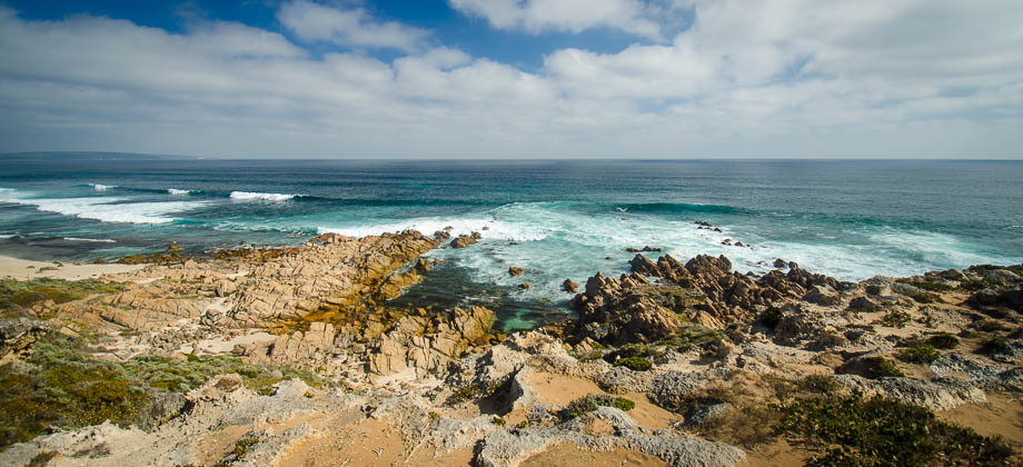
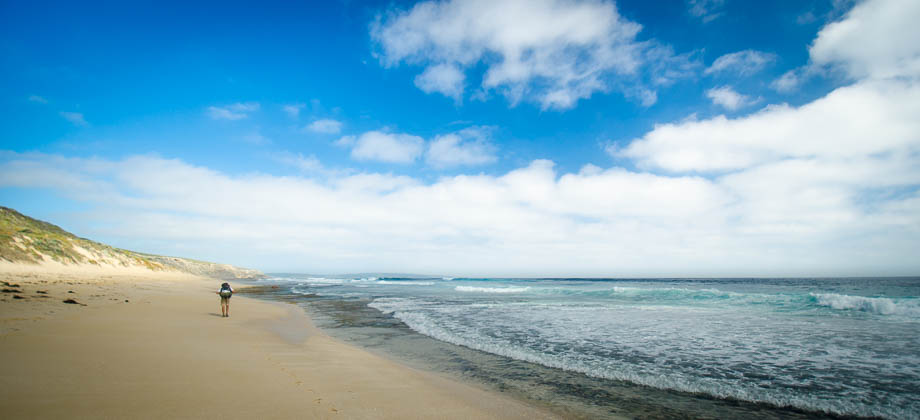
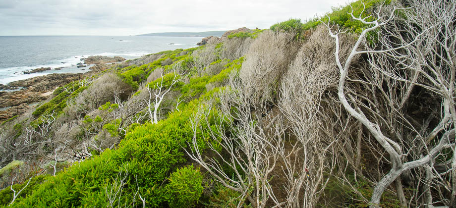
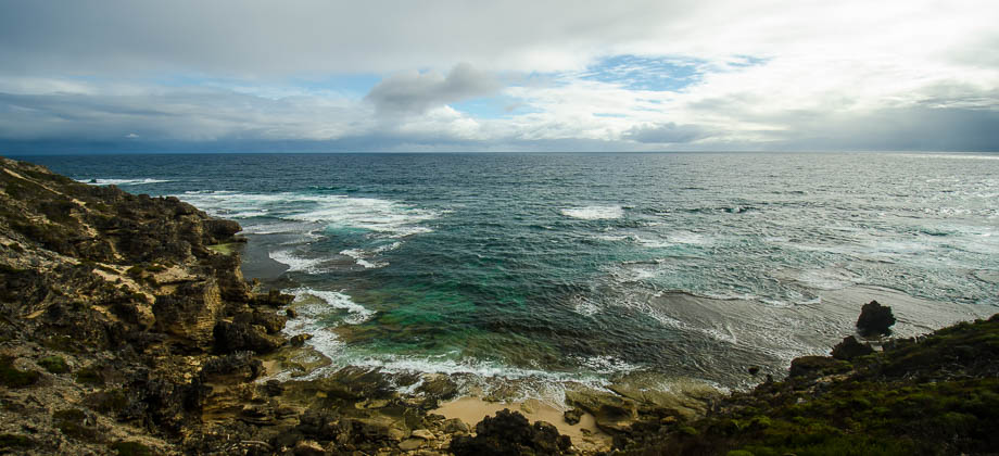
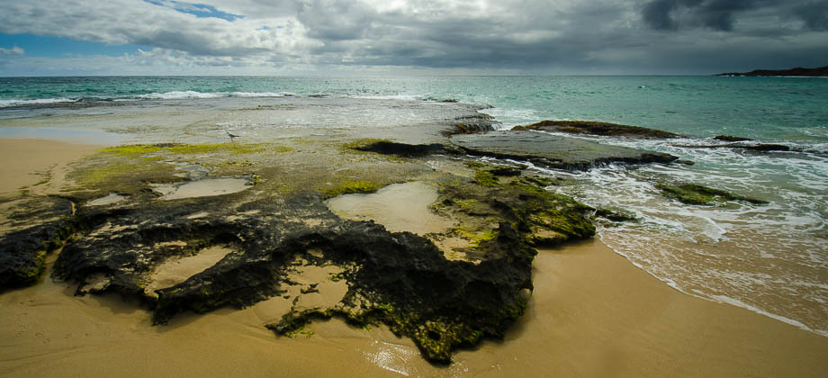
Towards the end of the beach I came across a section that was impassable, so rather than just try and go around the rock and battle the tide, I chose to go up and over the rock formation which would lead me on to the next beach. Unbeknownst to me, I had just walked past the junction of the Cape to Cape track that lead back inland. I carried on walking to the end of the next beach before realising (rather belatedly) that something was indeed amiss.
 I stopped for a moment to check the navigation menu of my Suunto Ambit and then only realised that I had deviated from the track by a fairly large amount. Realising then that I had not seen any signs and not wanting to risk heading back with the chance of not being able to find the trail, I decided to plot a bearing that was directly perpendicular to the trail and to bush bash directly to it, taking the shortest path possible. I was careful to remember the terrain, looking back periodically, in case I had to track back. My decision turned out to be a mistake for I emerged from the bush shortly after with nothing but a hugely deflated overconfidence and scratched up calves.
I plodded back to the part of the beach that merged onto my GPS route and saw the sign that marked the turn-off soon after. Another poignant reminder that nature is unforgiving when underestimated.
I stopped for a moment to check the navigation menu of my Suunto Ambit and then only realised that I had deviated from the track by a fairly large amount. Realising then that I had not seen any signs and not wanting to risk heading back with the chance of not being able to find the trail, I decided to plot a bearing that was directly perpendicular to the trail and to bush bash directly to it, taking the shortest path possible. I was careful to remember the terrain, looking back periodically, in case I had to track back. My decision turned out to be a mistake for I emerged from the bush shortly after with nothing but a hugely deflated overconfidence and scratched up calves.
I plodded back to the part of the beach that merged onto my GPS route and saw the sign that marked the turn-off soon after. Another poignant reminder that nature is unforgiving when underestimated.