Cape to Cape Day 04 – Ellensbrook to Conto's
A Wrong Turning
I left
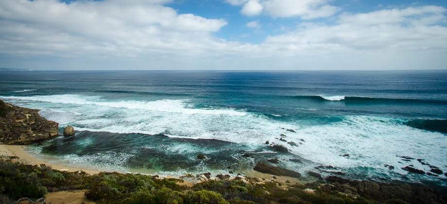
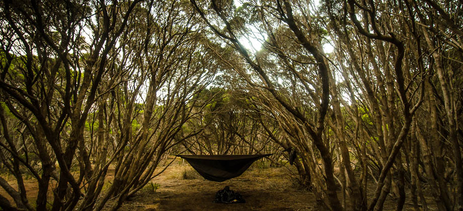
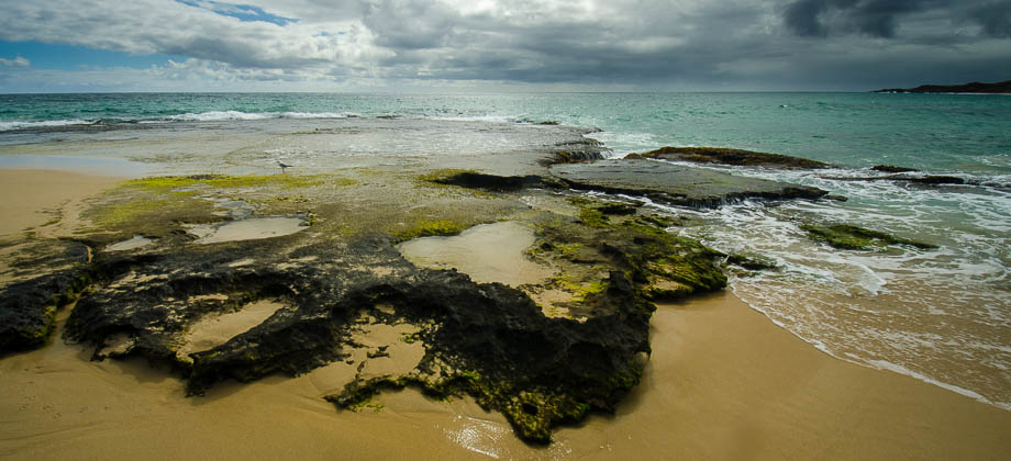
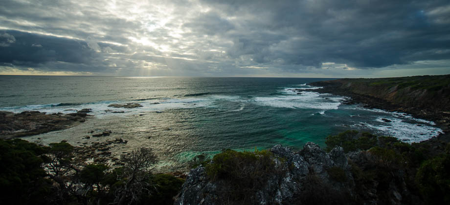
Ellensbrook campsite a little later than I had hoped, just after 08:00. Realising that I had over 30 kilometres of hiking to do that day, I would need to hike at an average speed of approximately 4 km/h to reach the next campsite before the sun set - a speed that was definitely achievable especially considering that I was now hiking alone. The clouds didn't look too promising though and I caught myself hoping that the weather would hold up. Everything else was perfect - the shade of the trees that filtered the morning light cast everything in a soft, tranquil light, all the shadows long and stretched out.
The ground was soft, almost peat-like and the twittering of the birds that were flitting about from tree to tree was enchanting.
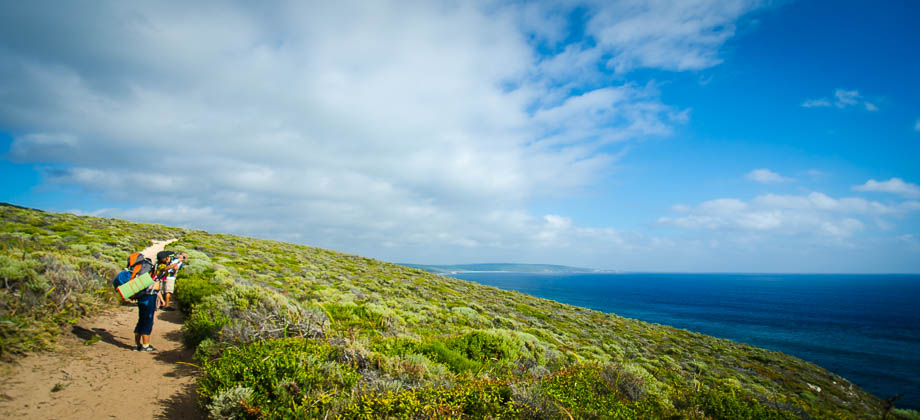
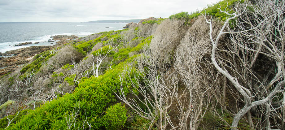
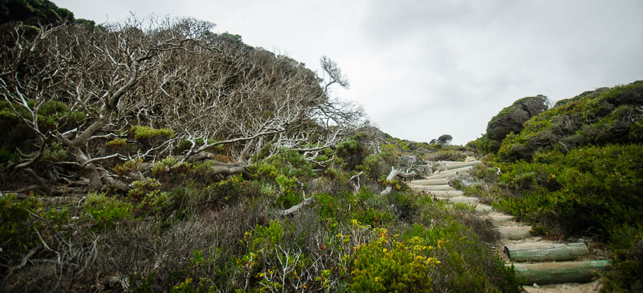
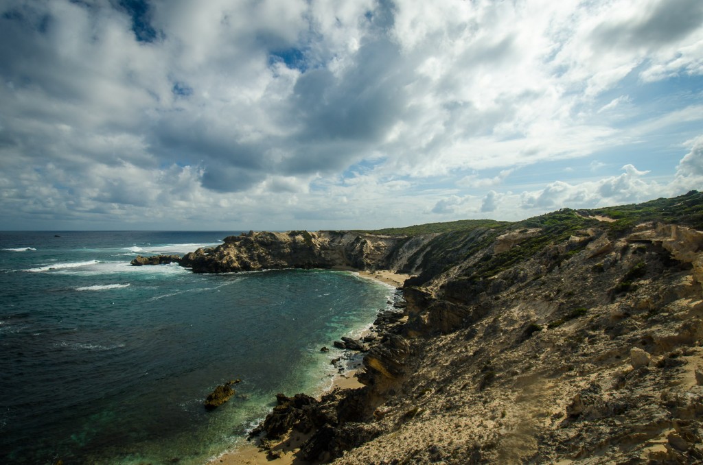
The trail swerved right and lead its way uphill on a sandy vehicle track. It then dipped down through groves of blackened twigs and grass trees
(Xanthorrhoea preissii) that lined the path. I came upon a junction at the 1.3 km mark, turning left following the markers, and another junction at the 3 km mark, turning right instead, that following a seemingly endless sandy road that swerved southward once again after rounding a hill. The path ran parallel to a fence that strangely enough seemed to have an almost identical path on the other side. I came upon another junction at the 3.3 km mark but took a left turn this time.
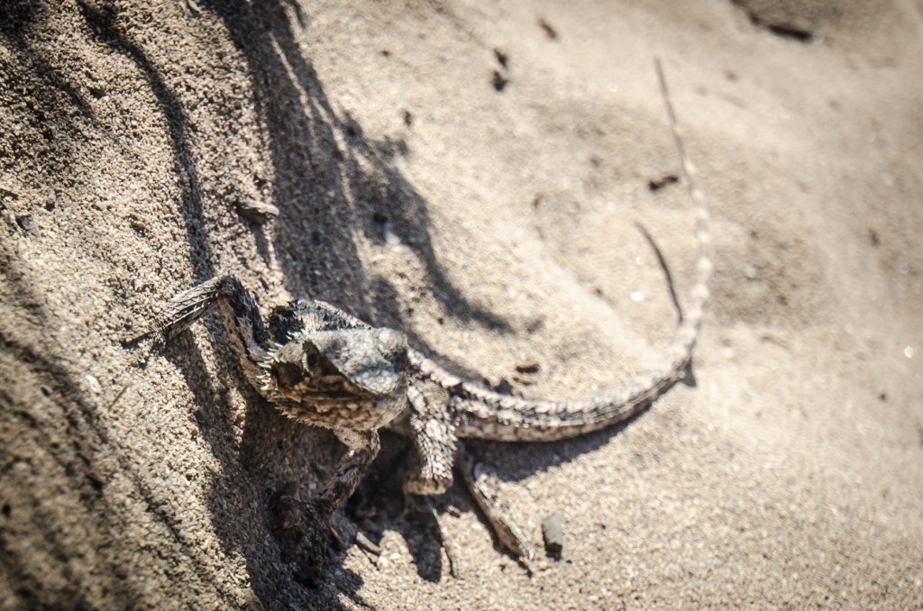 The Western bearded dragon (Pogona minor minor)
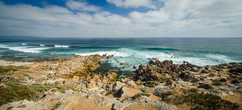
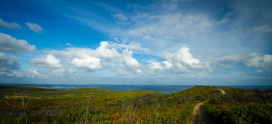
The trail lead up to a large warning sign that mentioned an alternate route that went left instead to Kilcarnup Road, then southward on to Caves Road, before turning right in to Wallcliffe Road to meet the C2C track. The tidal times that I had with me indicated that the tide would be high by the time I reached the Margaret River crossing. The fact that it had rained the night before and that I was carrying a large amount of electronic items made me decide to take the alternate route instead, "rather be safe than sorry" as they say... I made note that the map on the board said that I would need to turn right at the next crossroads and then continued on eastwards.

I trudged along the path as mice and lizards scuttled into the bushes. The road ran parallel to some exclusive 'escapes', some sort of luxury holiday home, just before coming upon the crossroads. I turned right, as the map had said and since there were no signposts or road names that I could see. This is where I went wrong - the map had not mentioned the crossroads that I had come upon and had just mentioned the right turn at the junction further up on to Caves Road. The path became more and more uninteresting as time went on. My shadow had been on my right at the beginning but as it began to drift in front of me, I knew that I had taken the wrong path and had somehow ended up on a 4WD trail instead. By the time I realised this, too much time had passed so I made the decision to press on knowing that the path would either intersect with one of the roads that I was supposed to have taken or that it would lead back to the coast and merge on to the C2C track.
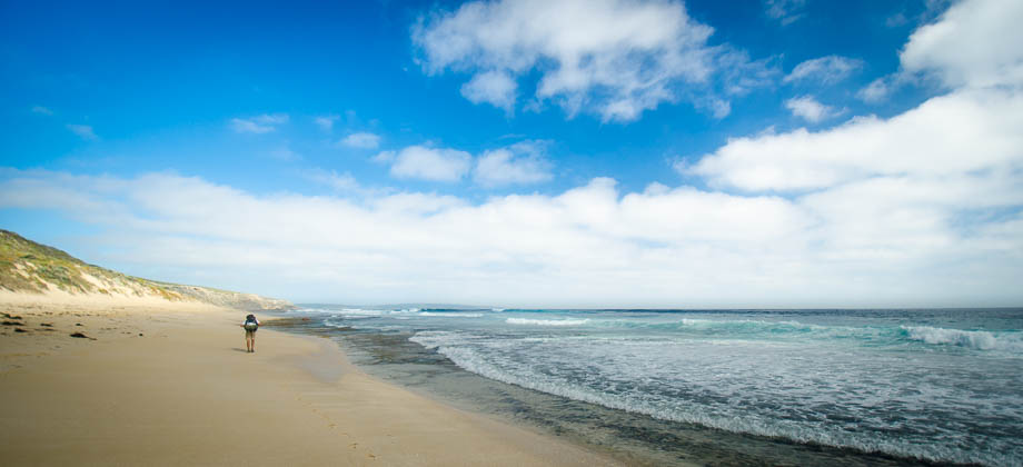
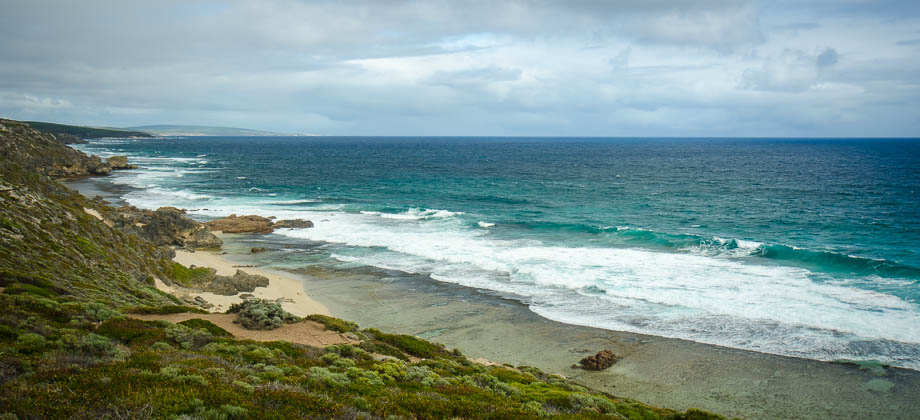
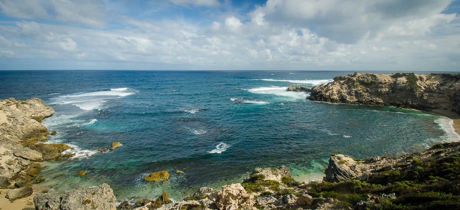
It turned out to be the latter. The path emerged at the south end of
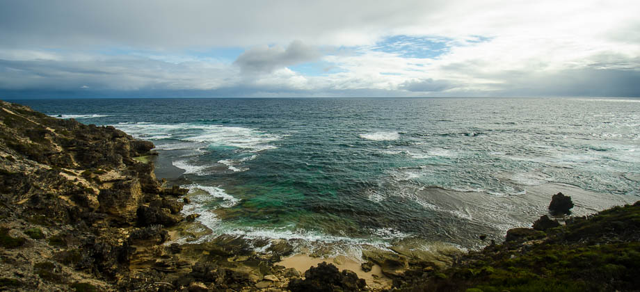
Kilcarnup beach, where it intersected the C2C track that continued on southward, heading uphill through shrubbery along the coast of Cape Mantelle.