
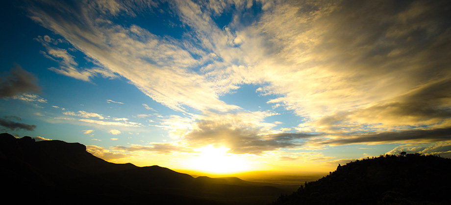
Sunrise & Sunset


0
3
May 22, 2014
Posted by Ramon in Australia, Camping, Class 7, Hiking, IUCN Protected Category 2, Mediterranean, Multiday Hike, National Parks, Ridges, Sclerophyll & Mediterranean Forests, Sunrise & Sunset, Western Australia
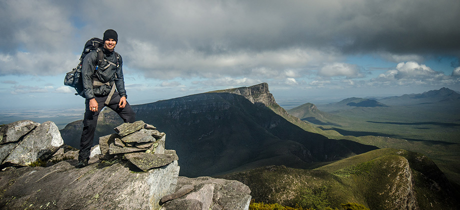
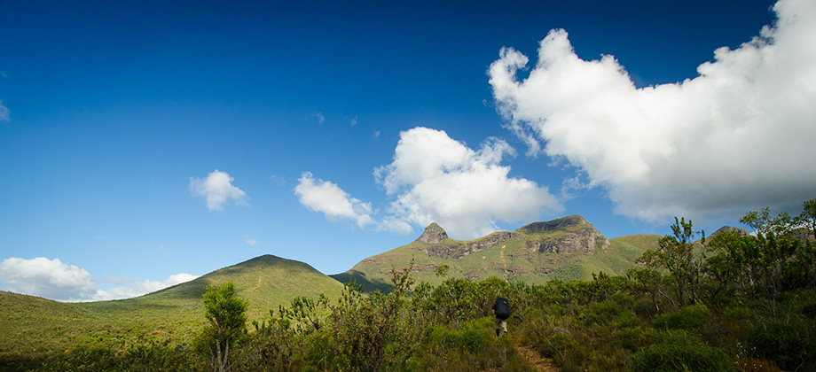
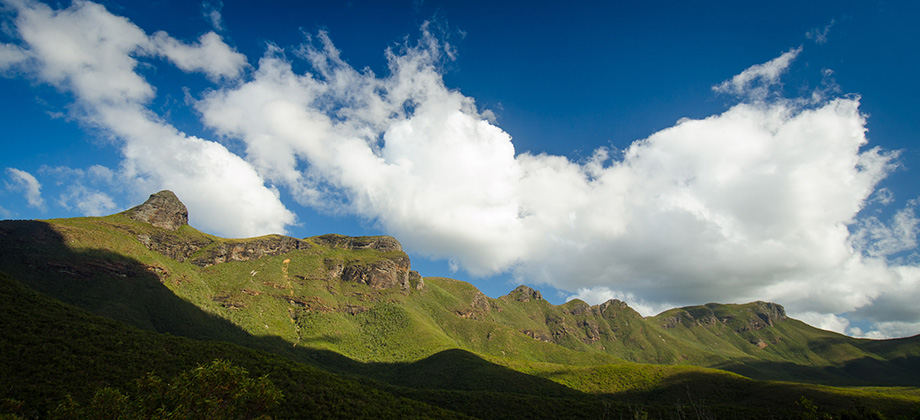
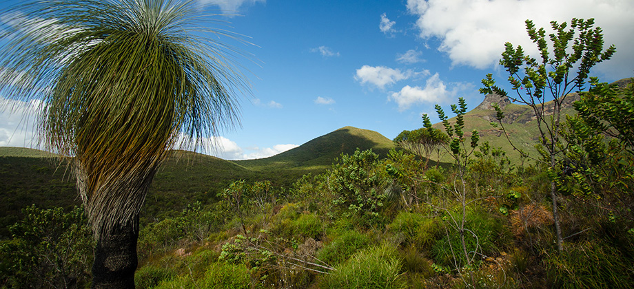
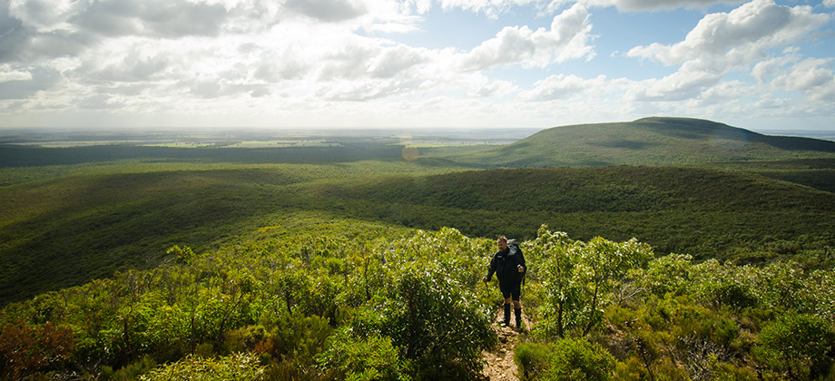
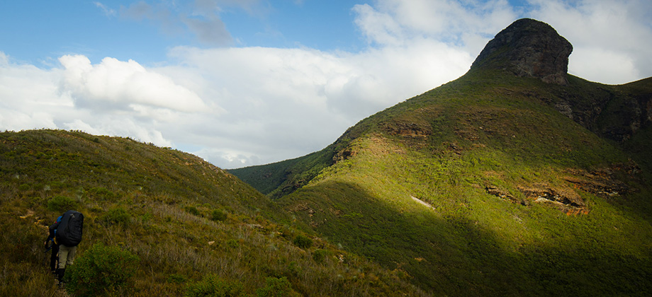
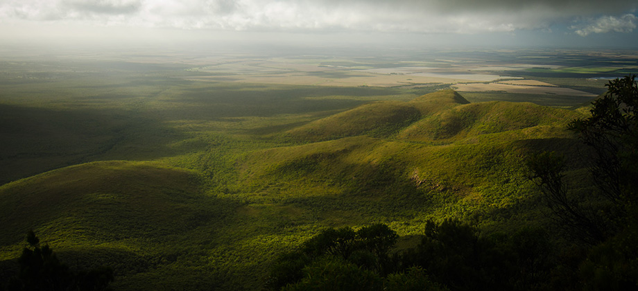
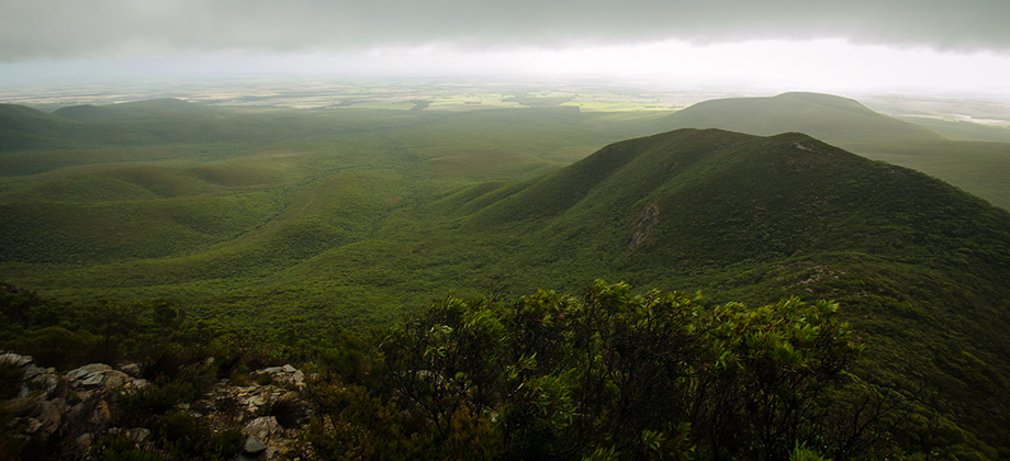
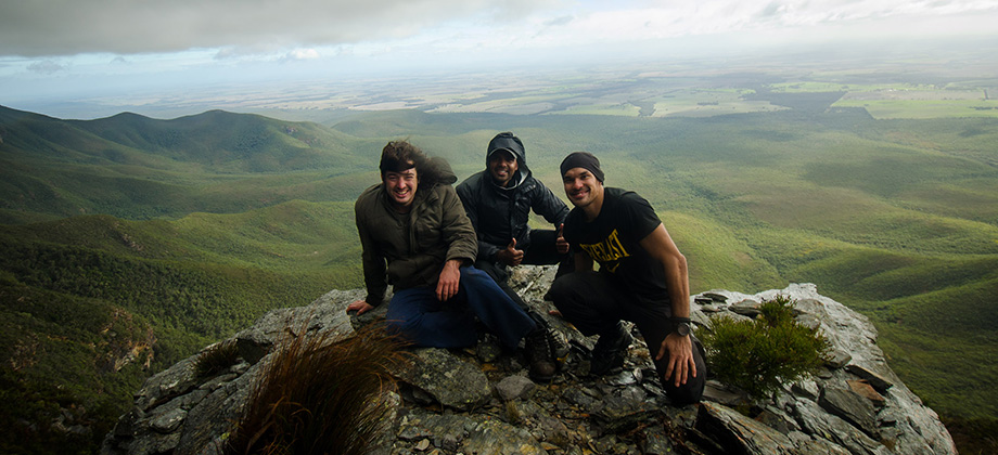
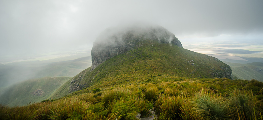
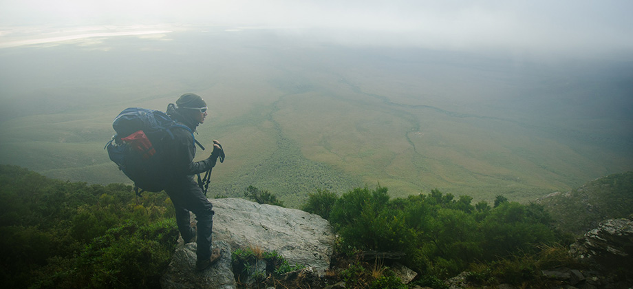
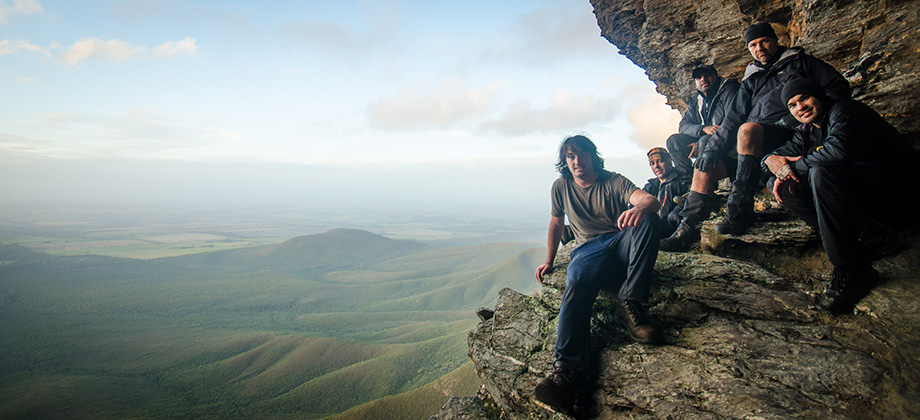
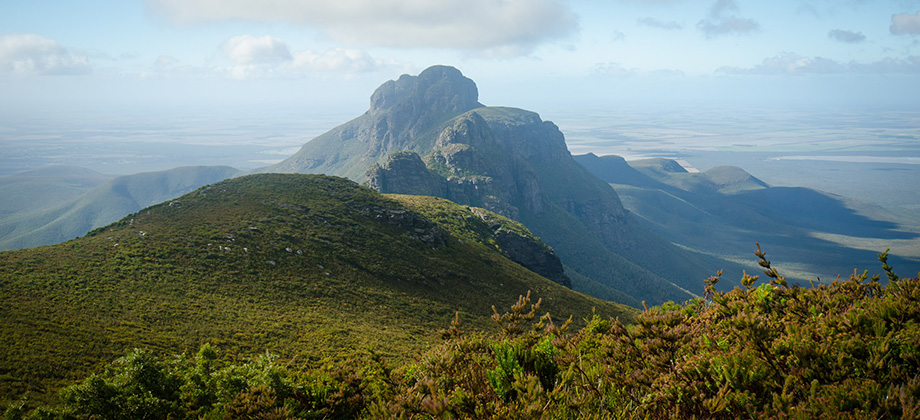
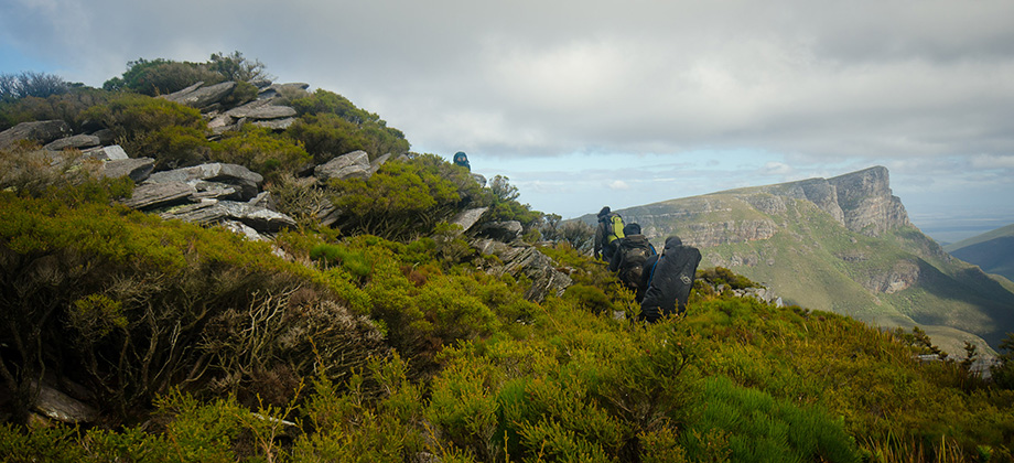
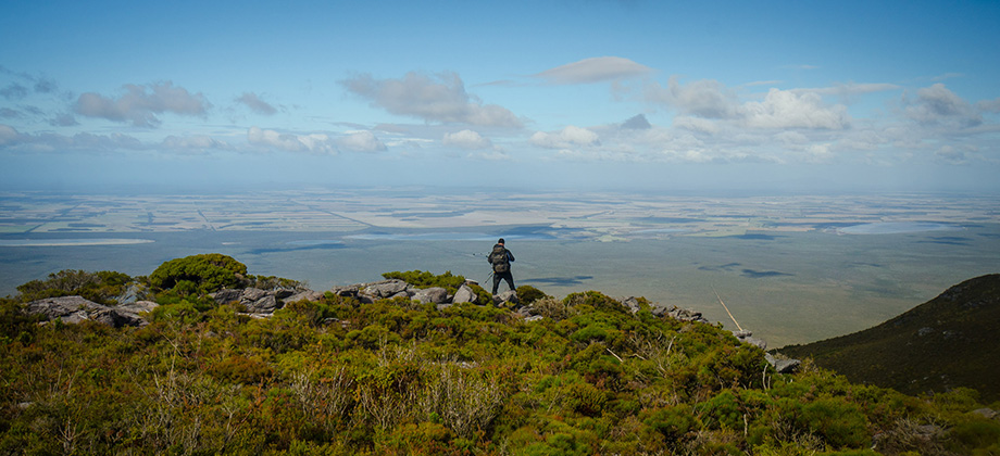
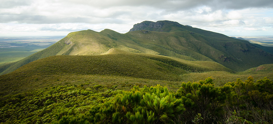
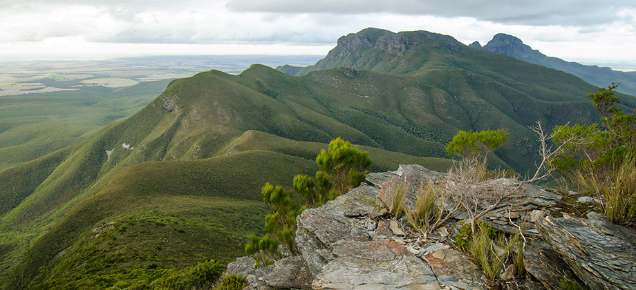
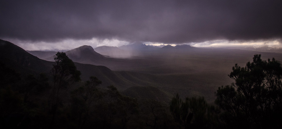
Stirling Ridge Walk
The Stirling Range is unique in many, many ways. Suddenly and abruptly rising from very flat, nondescript lowlands, the range is a prominent feature in the landscape and can be seen clearly from vast distances. Spectacular cloud formations are frequently seen here, which explains the Aboriginal (the Wagyl Kaip people being the traditional custodians) name for the range, 'Koi Kyenunu-ruff', which means ‘mist rolling Read more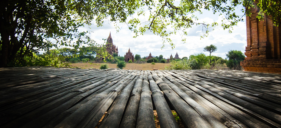


0
July 20, 2013
Posted by Ramon in Budget, Cycling, Dry Broadleaf Forests, Mandalay, Myanmar, Semi-arid Steppe, Solo Hike, Sunrise & Sunset
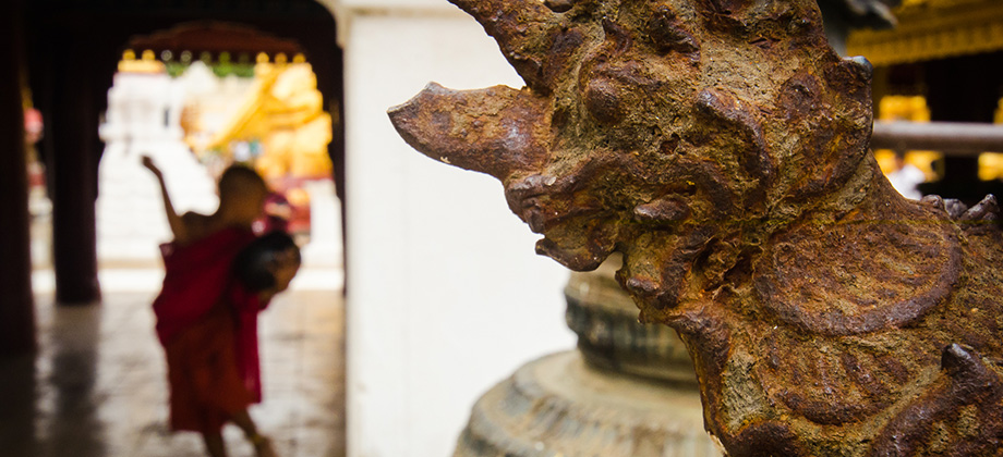
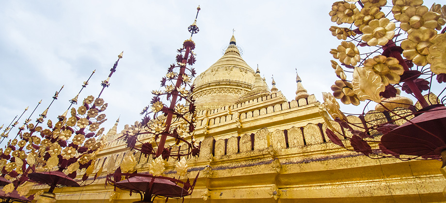
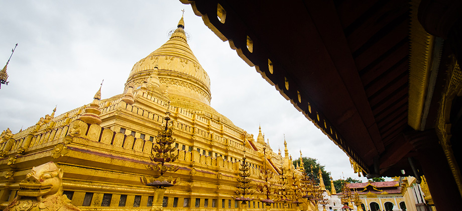
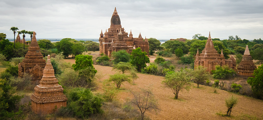
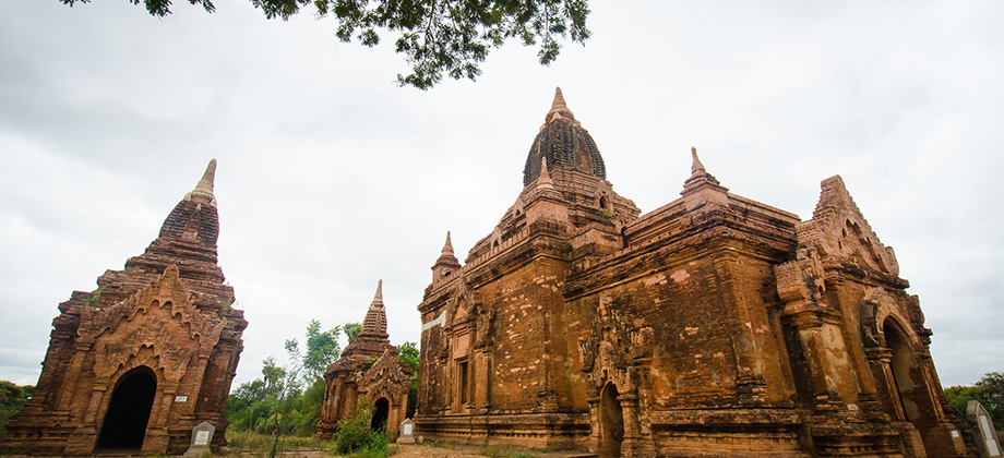
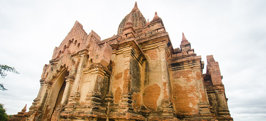
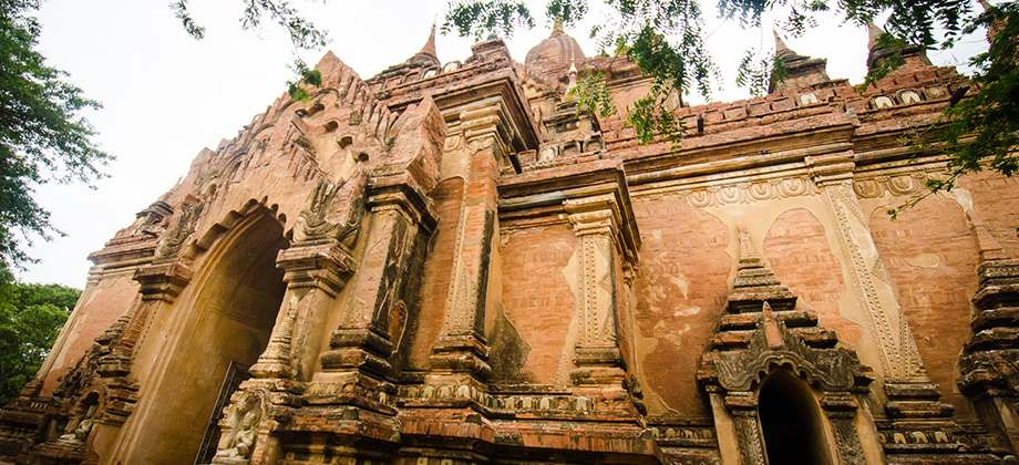
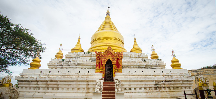
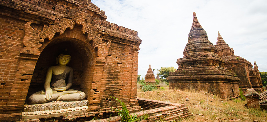
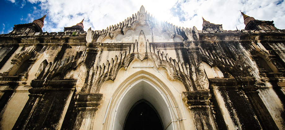
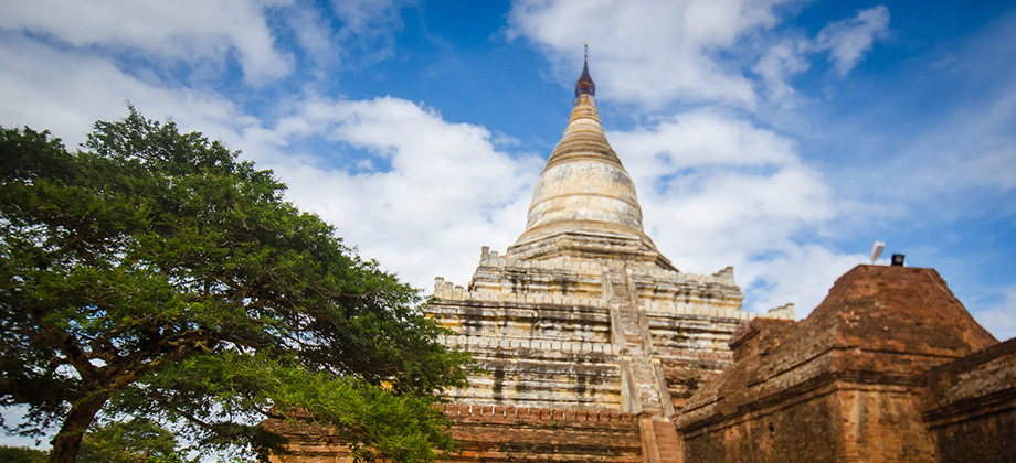
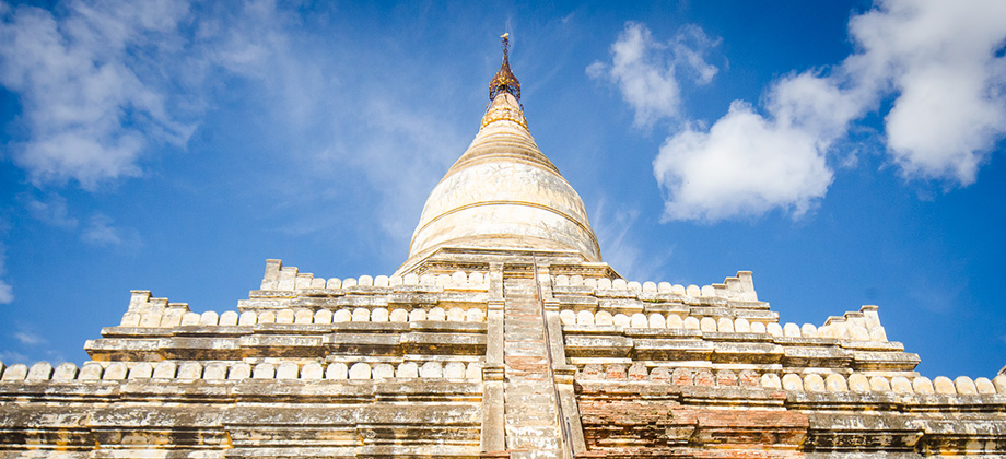
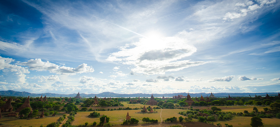
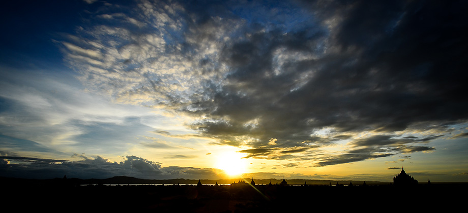
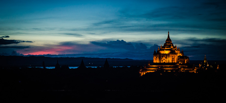
Bagan
I climbed out of the Shwe Mandalar express bus groggily and somewhat curmudgeonly after being rudely awoken by the strident cry of the bus driver just as the bus squeakily rolled to a stop. Despite the lack of sleep, I found to my surprise that the bus ride had been far more comfortable than I had anticipated. For some reason I had expected the eight and a half hour ride to be on a cramped and very crowded bus that Read more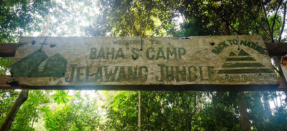
0
May 28, 2013
Posted by Ramon in Broadleaf Rainforests, Camping, Class 2, Day Hike, Hiking, IUCN Protected Category 2, Kelantan, Malaysia, Sunrise & Sunset, Tropical Rainforest, Waterfalls
Baha's Camp
Baha's Camp lies near the top of the (apparently) 270-metres-high seven-tiered Stong Waterfall, making it one of the tallest waterfalls in Peninsular Malaysia, that is located in the 21,950 hectare 'Gunung Stong State Park' (formerly known as Jelawang Forest). The camp serves as a launching point for trips up to the higher levels of the waterfall as well as for treks to the multitude of peaks that one can find in the Read more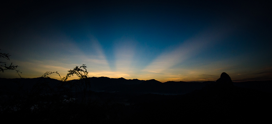
1
May 18, 2013
Posted by Ramon in Broadleaf Rainforests, Class 3, Day Hike, Hiking, IUCN Protected Category 2, Malaysia, Ridges, Selangor, Sunrise & Sunset, Tropical Rainforest
Tabur East Sunrise
This trek was another of a series of sunrise treks that were undertaken in the wee hours of the morning. By the time we parked the car and located the huge twin pipes that we needed to follow, it was already 05:10. The pipes can either be located from the end of the Jalan Kolam Air road or from the road that leads to the Klang Gates Dam where trekkers park there car for the Tabur West trek (marked 'A' in the map Read more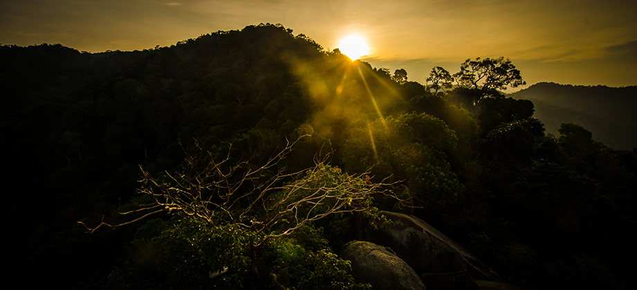
2
April 28, 2013
Posted by Ramon in Broadleaf Rainforests, Class 3, Day Hike, Forests, Hiking, IUCN Protected Category 5, Malaysia, Mountains, Negeri Sembilan, Sunrise & Sunset, Tropical Rainforest