ACT Day 14 - Ranipauwa to Kagbeni
Kagbeni
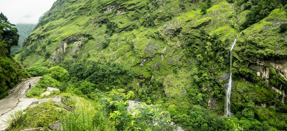
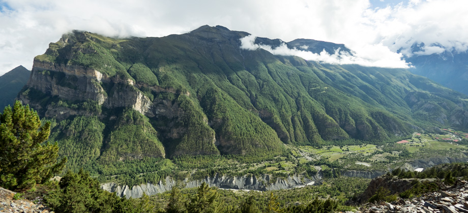
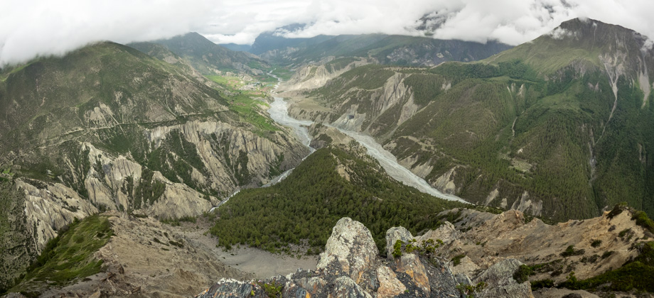
Up ahead and across the valley, it looked as if a line had been drawn across the middle of the hill, that delineated the arid and desolate north of the valley with the contrasting lushness of the south. Down by the river however, lay the village of Tiri (
elevation : 2800 m)

, an oasis of vibrant green with the dull Kali Gandaki River on one side, and the desolate hills on the other. The village looked like an island of colour that was floating on a bleak river, and we thought to ourselves then that it was definitely a place that we had to go explore.
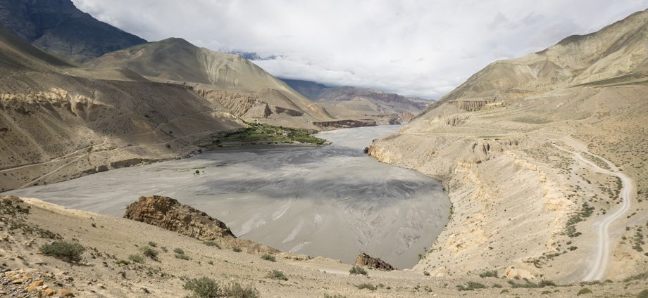 Looking across the Kali Gandaki to Tiri
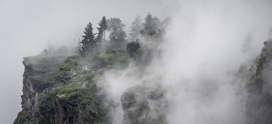
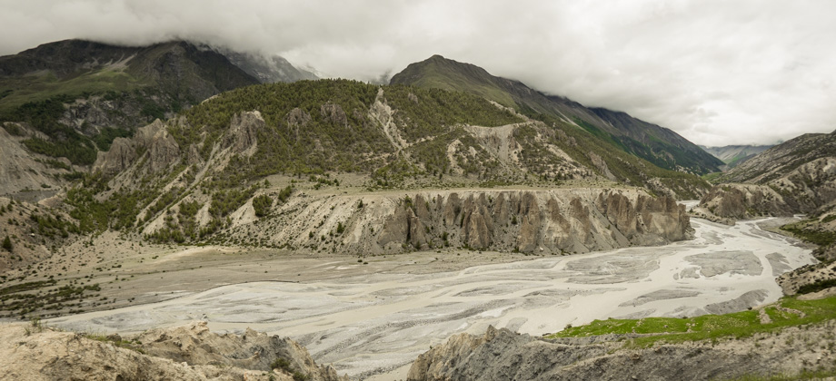
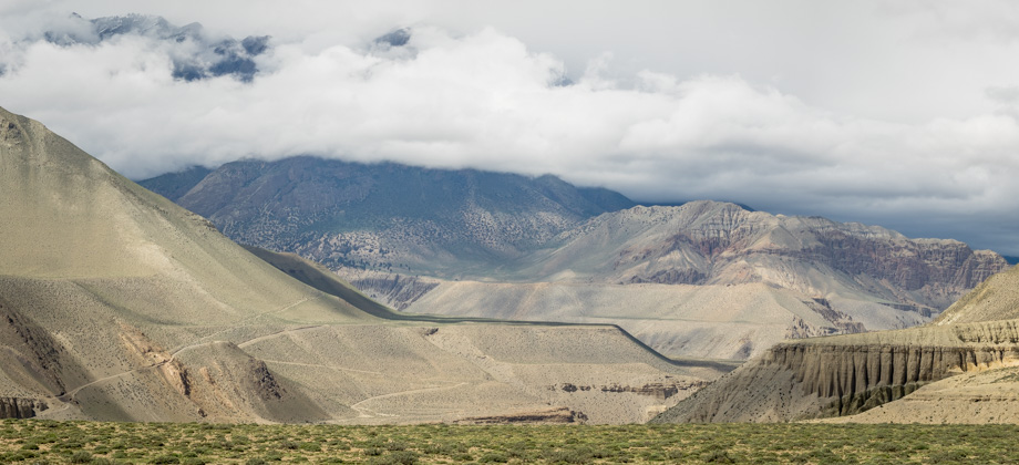
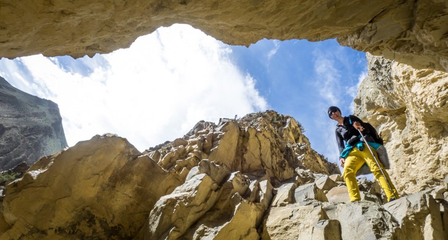
The ferocious wind picked up once again just as we approached the ridge that was located directly above Kagbeni (
elevation : 2800 m)
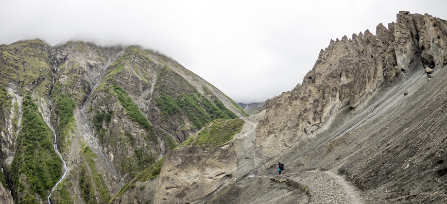
. We followed the road as it curved north, and spotted the red and white pole shortly after. We turned left here and rounded the hill counterclockwise, and followed the trail as it led to the stupa and cave on the west side of the hill. We descended carefully down the scree, towards the road that led to Kagbeni, and were forced to battle the strong winds that were funneled upwards through the narrow gorge.
 Descending the narrow gorge
We felt a bit battered by the time we reached the narrow flagstone-lanes of Kagbeni, so we did not spend too much time looking around for a place. After passing by the two clay effigies--'Evi' (grandmother) and 'Meme' (grandfather), the latter with a rather distinctive erection--we eventually decided to stop at a place called Viewpoint Hotel (
NPR300/2 for a room), that was located right behind the Kag Chode Monastery. Fortunately for us, there was no chanting or ringing of bells during our stay there!
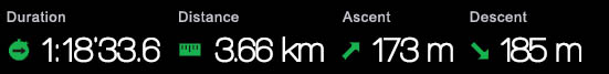
Suunto Movescount Stats

 Download GPX file here (right click and save link as)