
Kubang Gajah Waterfall
Tabur West - Tabur East Tabur Far East - Tabur Extreme
Kubang Gajah Waterfall
"The Wildlife Crime Hotline, managed by the Malaysian Conservation Alliance for Tigers (MYCAT), provides YOU an avenue to report offences involving endangered wildlife in Malaysia. We protect the identity of all informants, only key info of the reports are forwarded to the authorities."
Emergency Numbers
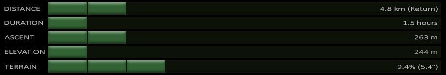
Wildlife Crime Hotline 019-356 4194 Wildlife Department 1800 885 151 Hulu Selangor Forestry Department 03-6091 613 Taman Melawati Police Station 03-4108 1222 Wangsa Maju Police Station 03-9289 9110Difficulty Rating : 1.8 / 10.0
(Class 1 - Extremely Straightforward)
Notice: Tabur Trails Temporarily Closed
Recently Bukit Tabur has been plagued with a number of unfortunate accidents which have prompted the authorities to temporarily close all the trails. The notice that was issued today (when translated from Malay) Read moreThe Plan
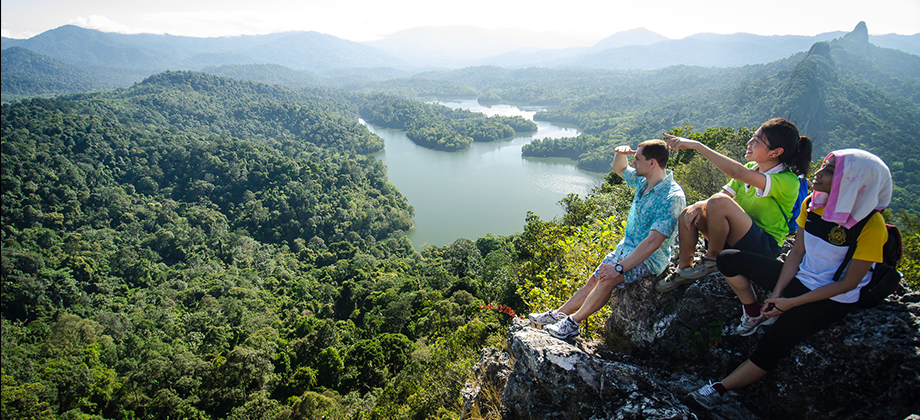
The initial plan was to proceed to the Tabur East trek right after we had completed Tabur West but after the descent down to the road where we had started, the group instead decided to go for lunch first and then continue on for the short trek on the Kemensah trail to the Kubang Gajah waterfall that lies on Sungai Ampang in Ulu Klang.
Getting There
The start of the trail can be found after a long stretch of narrow road that begins after a left turning at the National Zoo. The GPS coordinates for the junction with the left turning into Jalan Taman Zooview are '3.206756, 101.756833' and the GPS coordinates for the start of the trail itself are '3.216201, 101.788966'. Once you are on Jalan Taman Zooview, which becomes very narrow to the point that it can be close to impossible for two cars to pass abreast at certain points, just follow the road until you almost reach the end. The start of the trail lies on the right side of the road just before you reach the 'Institut Budaya Baru Melayu Selangor' building.
The trek from the start of the trail to the Kubang Gajah waterfall took about 45 minutes and covered a distance of about 2.4 km. The trail is wide with a slight inclination as it is commonly used by ATVs so listen out and keep your eyes open for ATVs, MTBs, and motor-cross bikes passing though. There is a point along the trail where it seems to fork out into three other trails but in actual fact those three trails just end up converging again soon after. The actual split in the road is much closer to the waterfall itself which is reached by following the right turning.
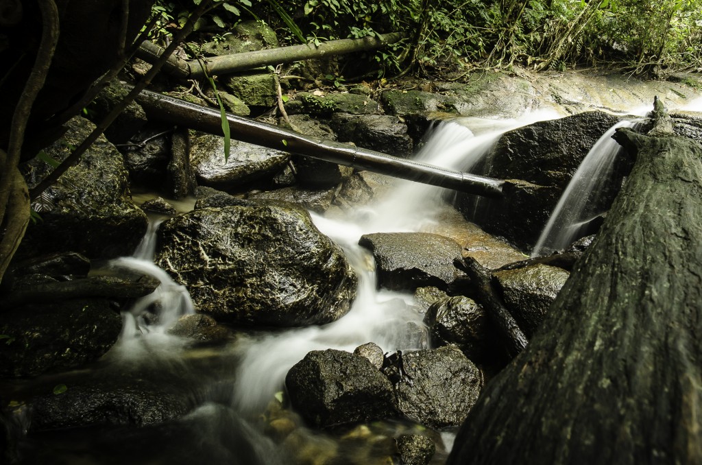
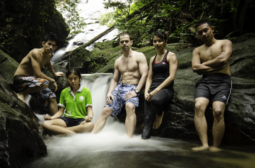
We were fortunate enough to find ourselves alone at the waterfall when we arrived and even more so when we realized that nobody had arrived in the entire hour and a half that we had spent there. The main section of the waterfall was obscured by trees and branches from the main trail that lead down to the waterfall on the right. At the end of the trail we encountered a pool of water that turned out to be perfect to wallow in. The pool was part of a series of three pools that lead upriver towards the main face of the waterfall. At the base of the main face, we encountered a cave that had been shaped by a large slab of rock that was resting above the pool. The cave could have made for some tough overhang bouldering had it not been for the shallow water that had precarious rocks submerged just below.
The time we spent there was thoroughly enjoyable probably due in part to the company as well as for the fact that we were alone. This waterfall seems to be relatively unknown and because of that I think I am likely to head back there at some point in the near future to explore the areas further upriver!
Route Playback
Suunto Movescount Stats


Waterfalls of Malaysia
Waterfalls of Malaysia

")

