Tabur West
Trail Markers
We were also spoilt by little pieces of paper left on the route presumably to mark the trail. Initially I had thought that the paper meant to 'go slow' as it not only was a picture of a turtle, but also because the first one that I had noticed was located in an area that some may call 'precarious'. The paper markers carried on for most of the way after that point though so definitely were there to function as trail markers, although they could also have also been for the purpose of warning hikers to proceed with caution. On the way down however, the picture changed to one of a man with a smile on his face holding what I suppose was meant to be a mug of beer that I think was meant to embody the sense of victory, or rather of a job well done. I wonder what hikers who took the route the other way around made of these pictures. The pieces of paper must have struck them as fairly odd indeed.
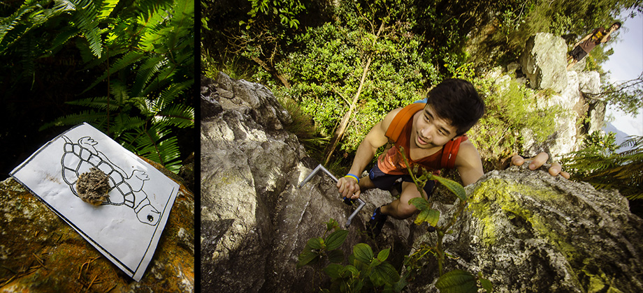
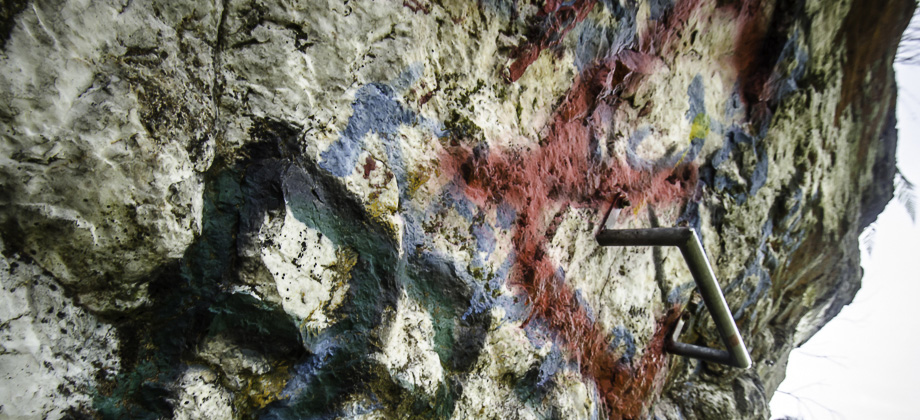
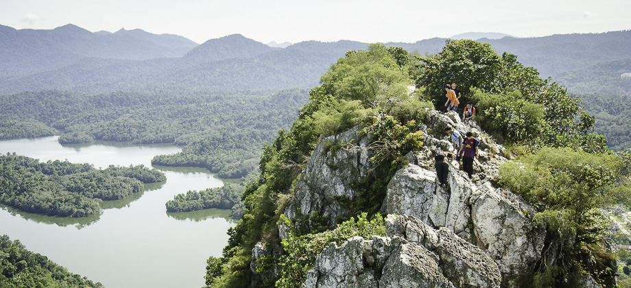
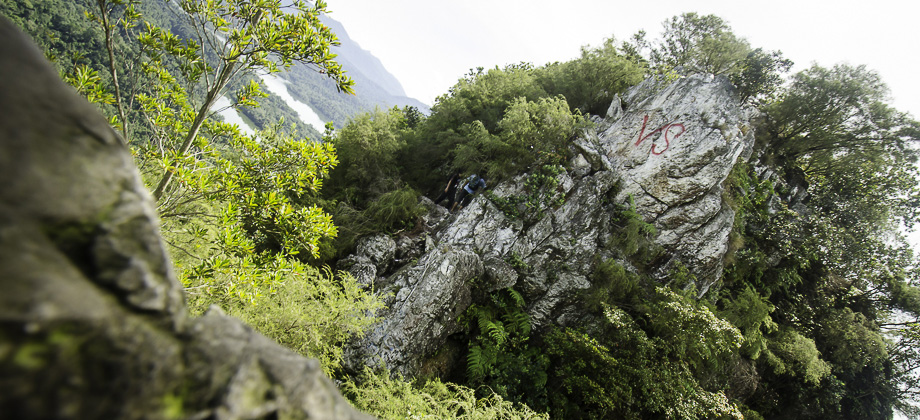
We came across several sections that had practically vertical ascents and descents, which was not surprising considering that the entire area is basically a huge quartz dike. Navigation was made much easier with rungs having been screwed into the rock face at various intervals. The rungs, to my astonishment, were not made of metal and were not as sturdy as I would have liked them to have been and as such I tended to try and avoid using them as I felt that the rock would end up being much safer. This turned out to not be so easily accomplished however as my right hand was preoccupied with holding the DSLR the entire time!
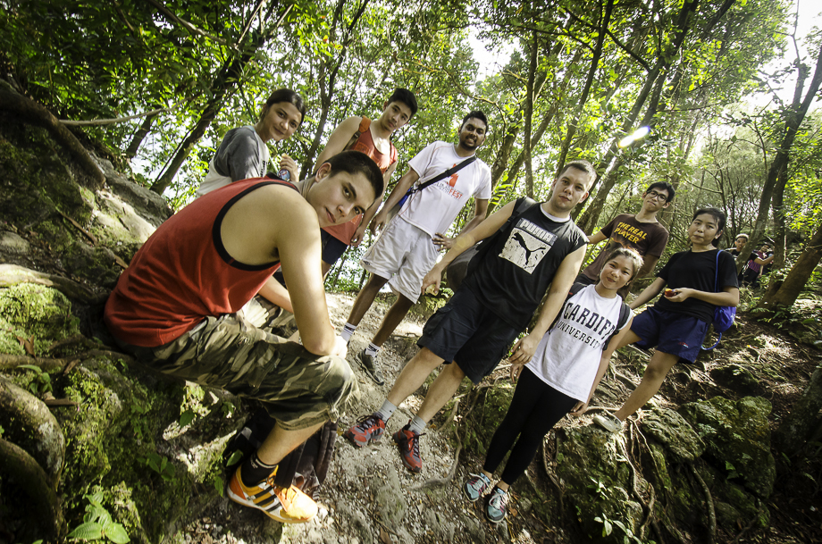
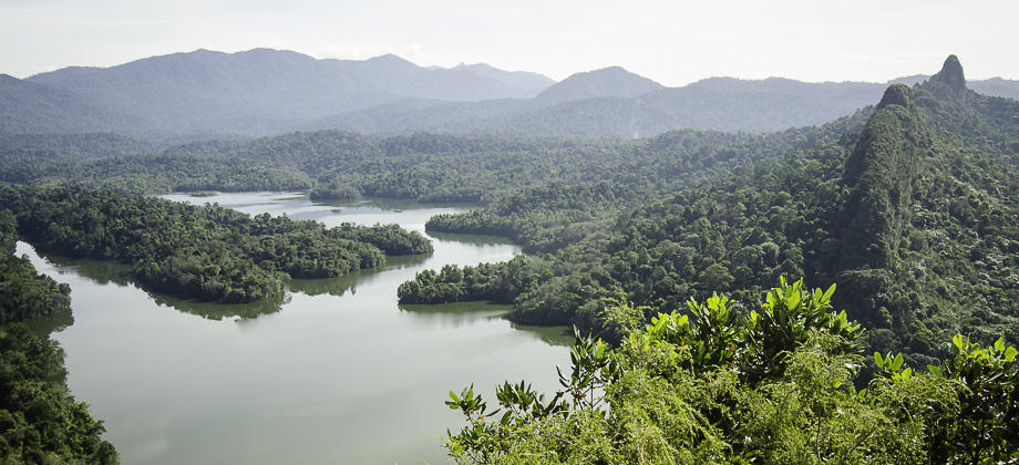
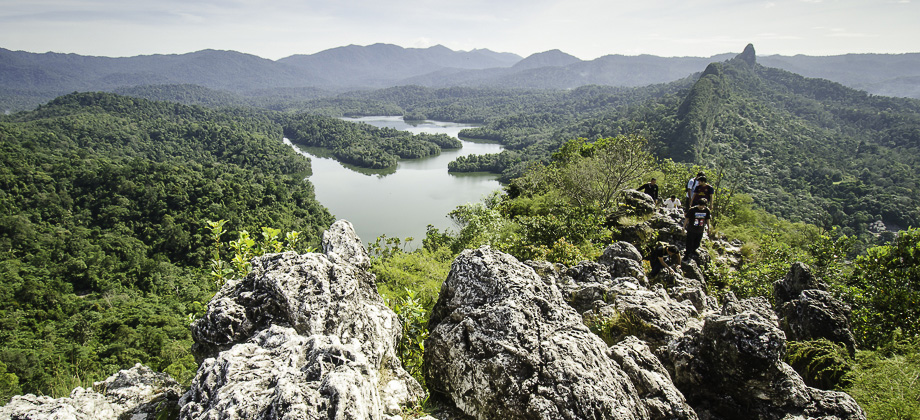
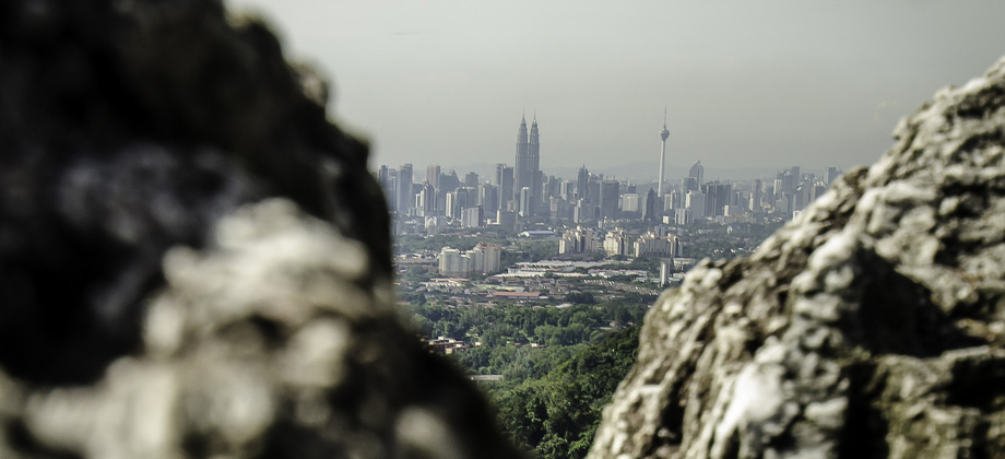
The group reached the peak after about 2 hours and 30 minutes and after exploring the rest of the ridge for a bit (as well as several stops to take pictures), we started to make our way down. Turned out that one mistake that a lot of us made was to not bring enough water. The trek was longer than most of us had expected and the hot and humid day, whilst gracing us with some spectacular views (albeit some horrid contrast), only ended up exacerbating the situation. I suppose that is something that we all will need to learn from and bear in mind for future treks.
Route Playback













Hi,
I was wondering if I could share your post? Where is the link? I can’t find it thanks.
Hi Johnnie!
Sure you can! But which post are you referring to?
The one for this Bukit Tabur entry is:
http://ramonfadli.com/2012/12/29/bukit-tabur-hike/
The 360 pano is:
http://www.360cities.net/image/bukit-tabur#37.25,23.09,70.0
Hope this helps!
Ramon
Here is the 360 degree panorama that was taken during this trek :
http://www.360cities.net/image/bukit-tabur#37.25,23.09,70.0