ACT Day 09 - Khangsar to Tilicho Base Camp
Views of Pisang Peak

Since the mist had yet to lift that morning and we had a relatively short hike ahead of us, we started the day languidly with a late breakfast of omelette with onion (
NPR230/2) and Tibetan bread (
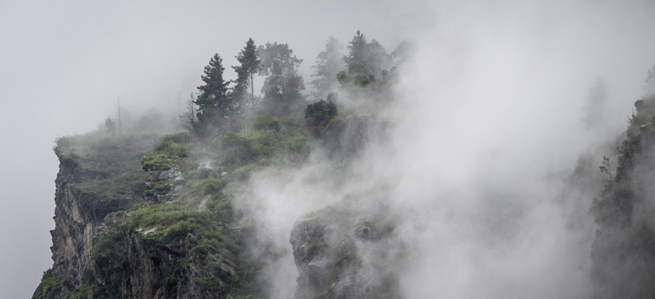
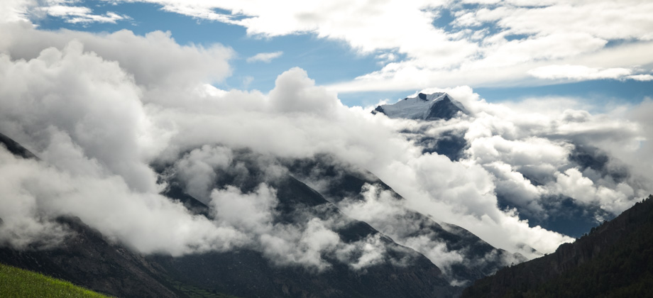
NPR230/2). Whilst we were eating breakfast, the mist lifted and as it did incredibly dramatic views of Pisang Peak / Jong Ri (
elevation : 6091 m) to the east were revealed. The clouds that hugged the mountains seemed fickle however, and would first waft away to reveal the summits before sinking down once again to obscure them. They seemed to rise up from the base of the mountains and gave me the impression that the mountains themselves were burning.
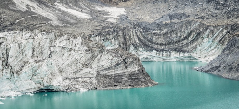
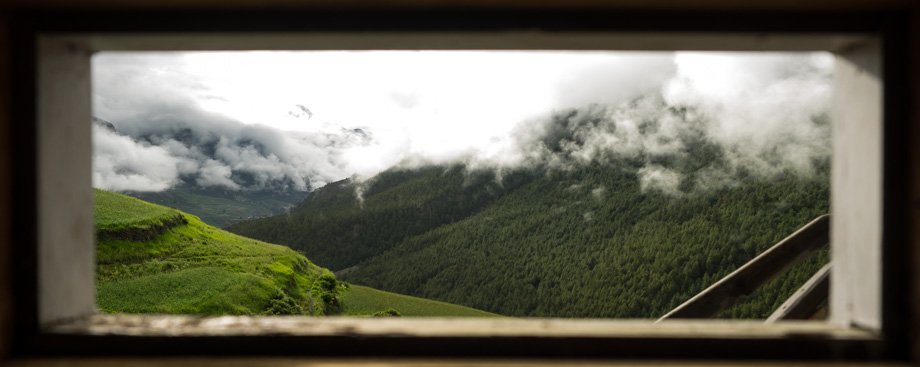 The view from the toilet window in Khangsar
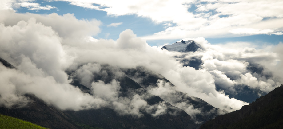 Cloud-cover over Pisang Peak
We left the hamlet of Khangsar

(
elevation : 3790 m) after 09:00 and walked through the narrow lanes and past the mani walls, prayer wheels, and charming stone houses with flat rooves. We came to a junction right after the hamlet's exit where the right branch led to Yak Kharka
(
elevation : 4018 m) and the left to Tilicho Lake
(
elevation : 4920 m) via Shree Kharka. We ended up taking the latter.
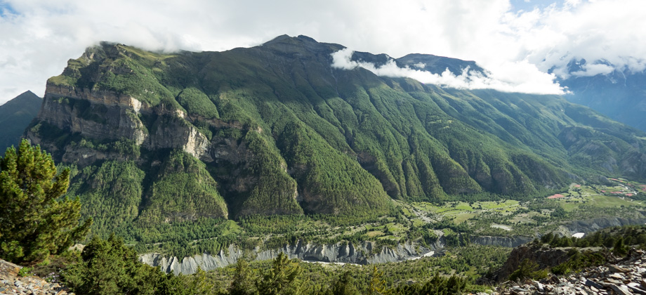
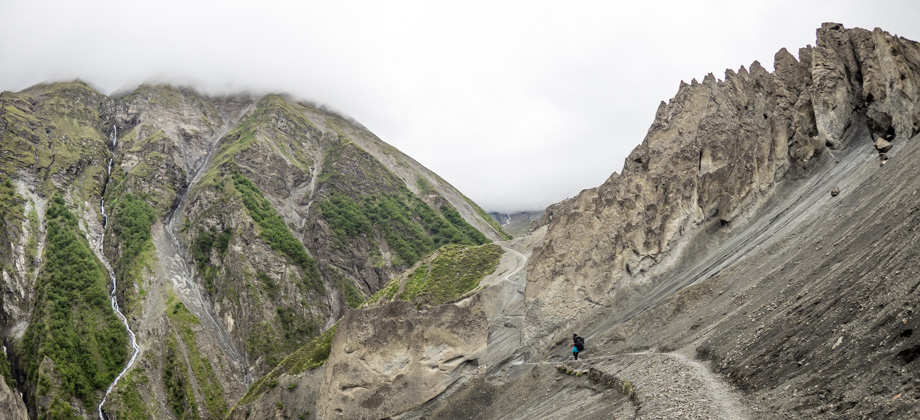
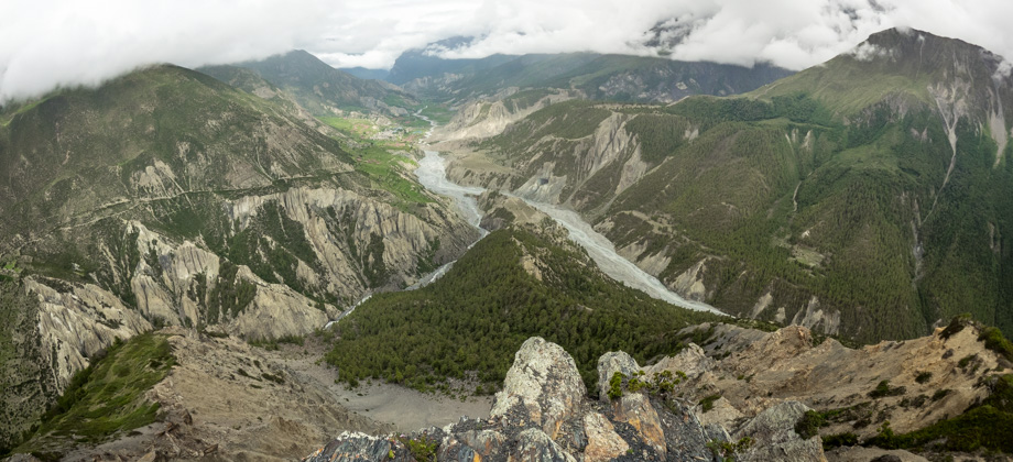
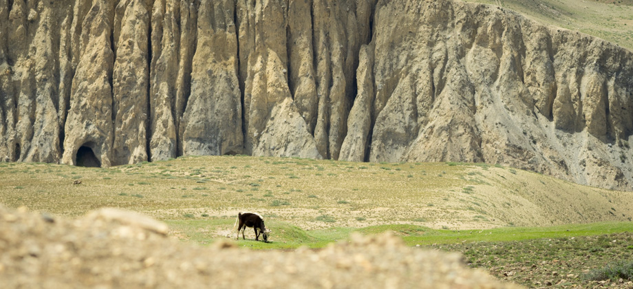
The trail brought us past huge serrated pinnacles that lay across the valley to our left and I could not help but think that they were an indication of what was to come. It wound around the edge of the cliff and could be seen cutting a line across the slopes ahead of us before disappearing in the distance--the distance that was dominated by the river that flowed down the valley slopes towards the Marsyangdi Nadi and shone in the bright rays of the sun. Wind barriers had been erected on some of the rises and the occasional horse
(Equus ferus caballus) could be seen grazing on the grass off to the sides.
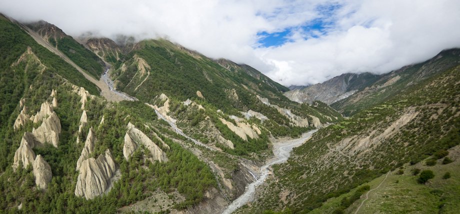 Looking west from Khangsar. The trail can be seen on the right of the image
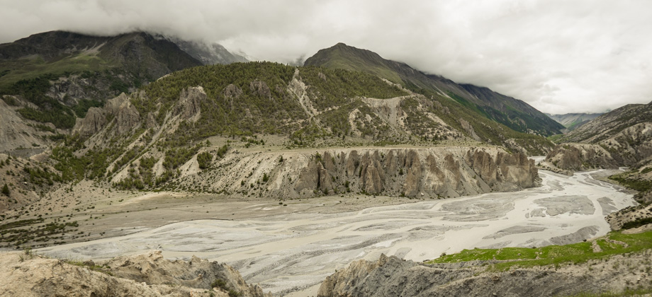
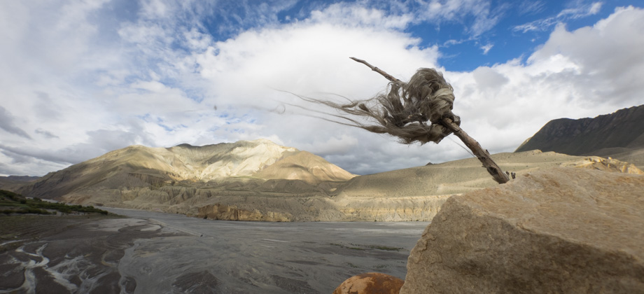
 The trail cutting across the slopes to the right with the river that flows past Tilicho Base Camp in the distance
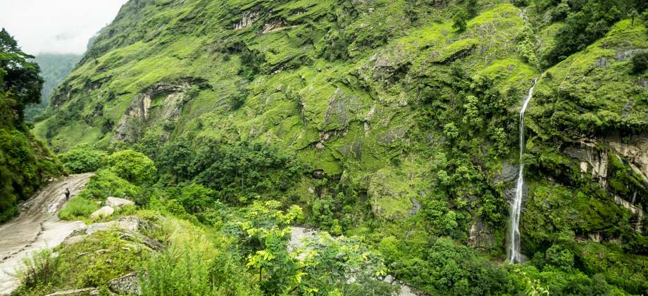
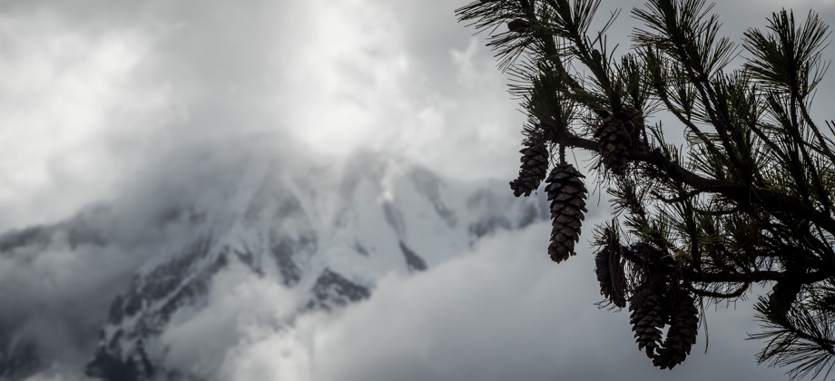
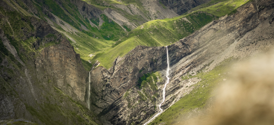
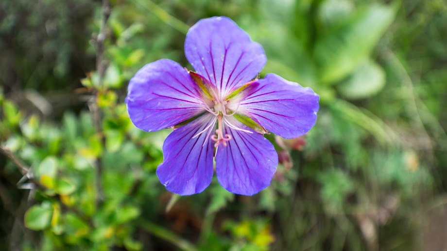
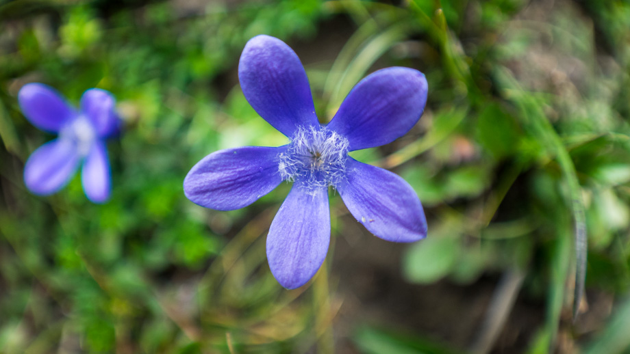
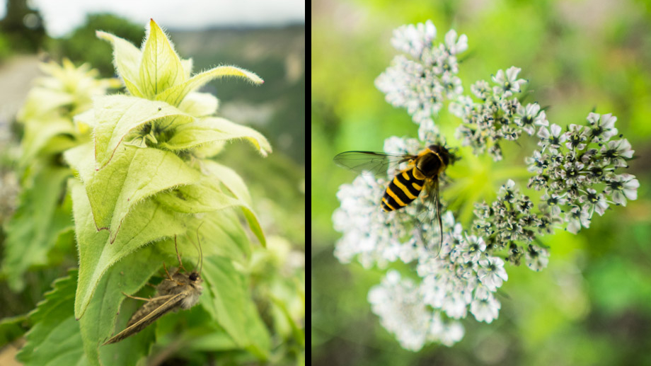
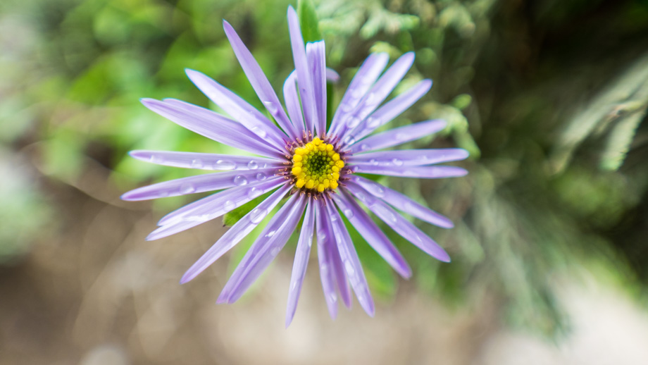
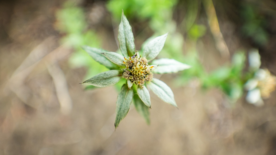
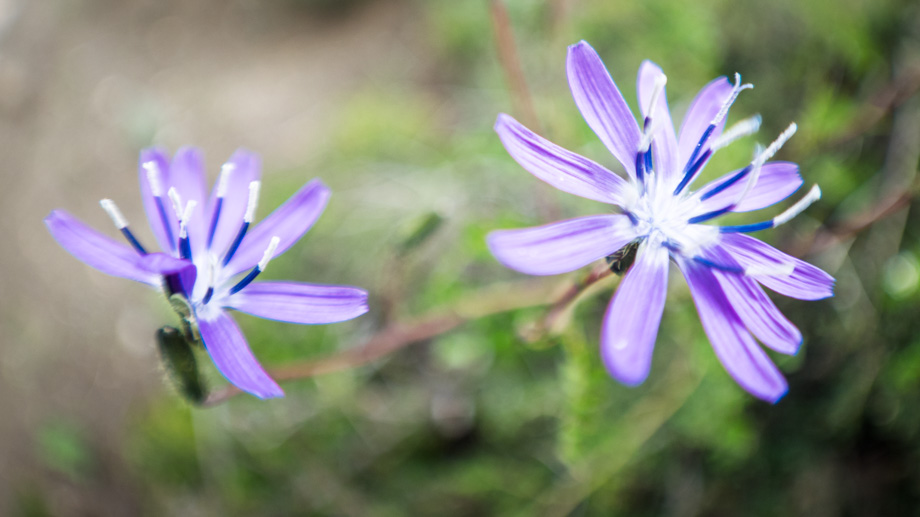
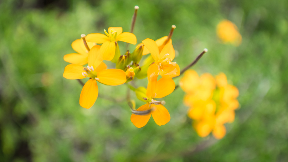
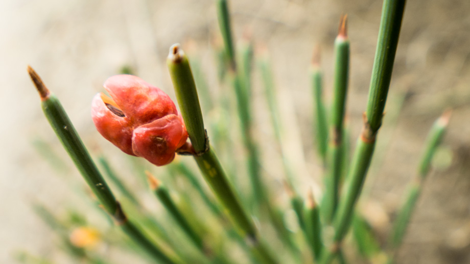
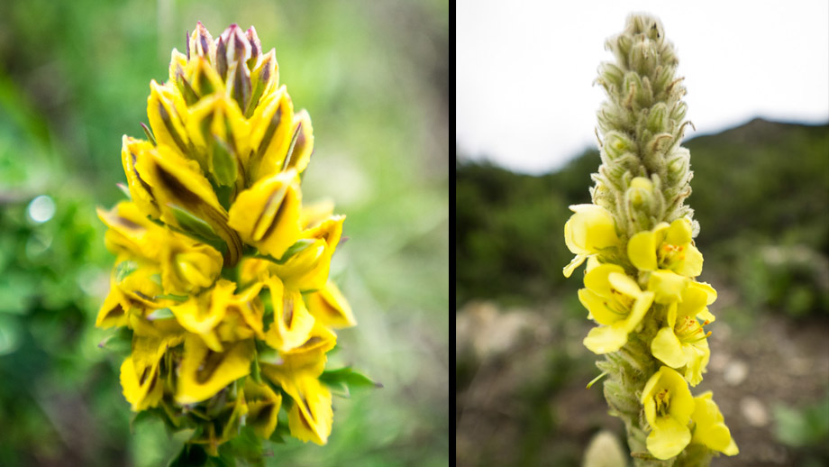
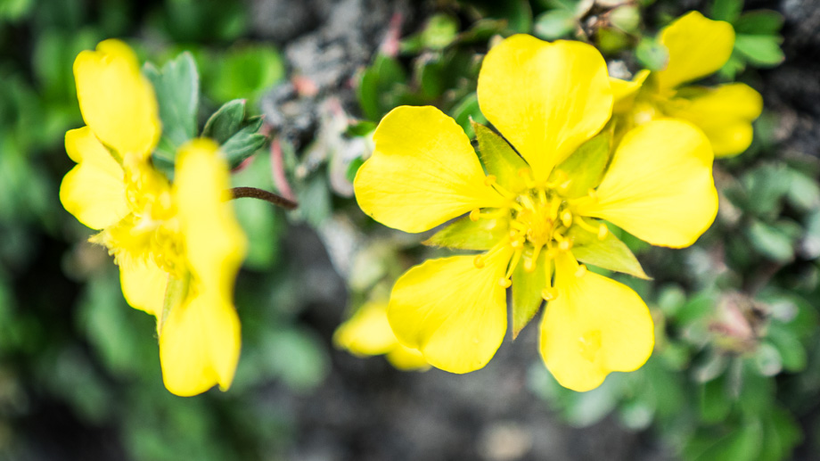
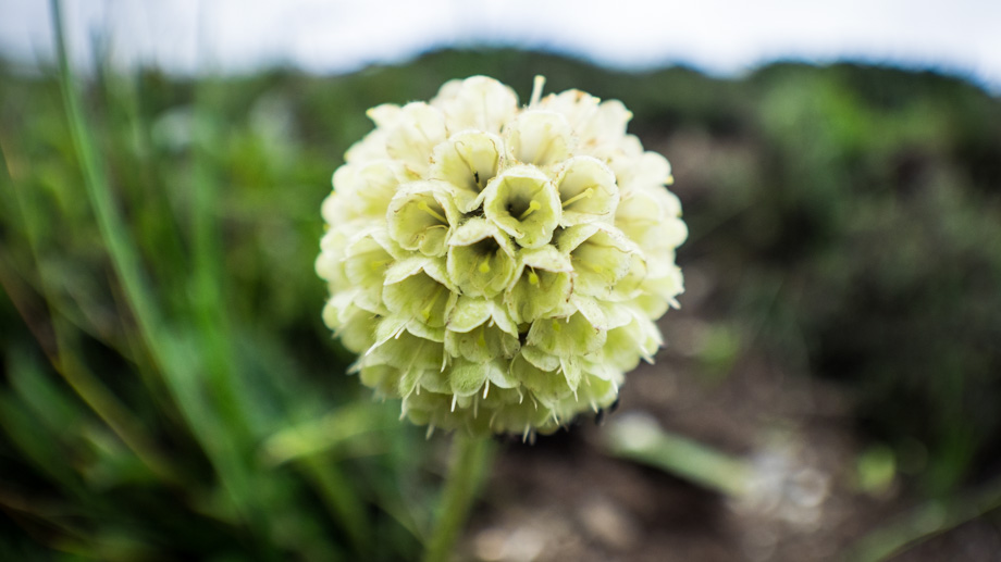
The whistling of the wind was interspersed by the twittering of birds around us, and the low rumble of the cascades and the waterfalls in the distance was unceasing. The webs of funnel-web spiders
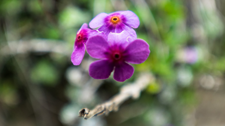
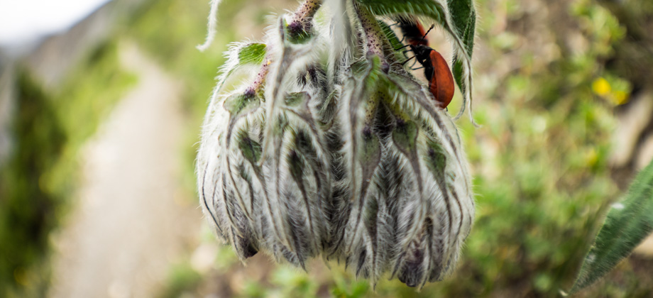
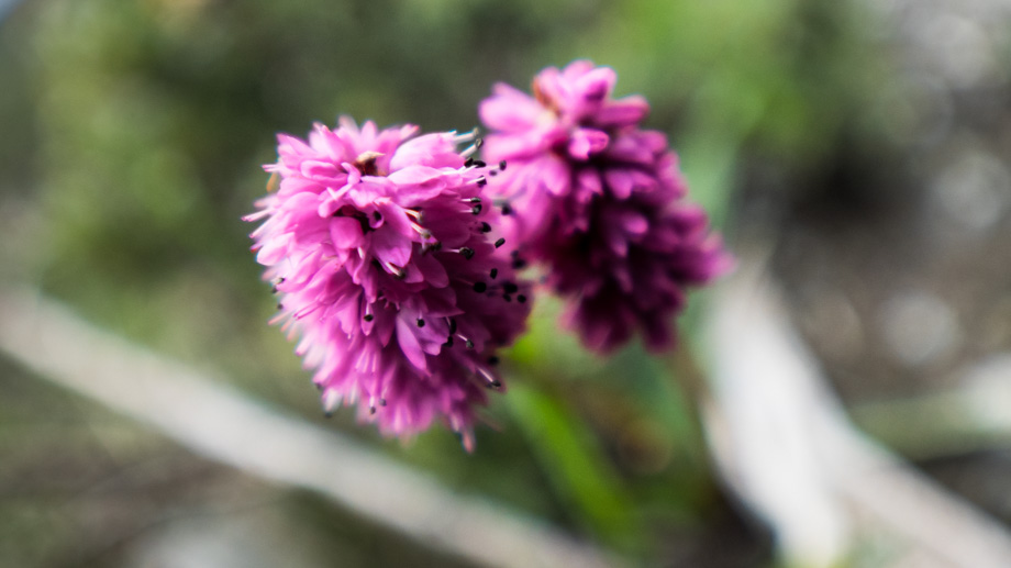
(Hippasa sp.) could occasionally be seen in the alcoves in the rocks to the right of us, and scattered all around us were swathes of pine trees, clumps of black berries, and a huge variety of flowers.
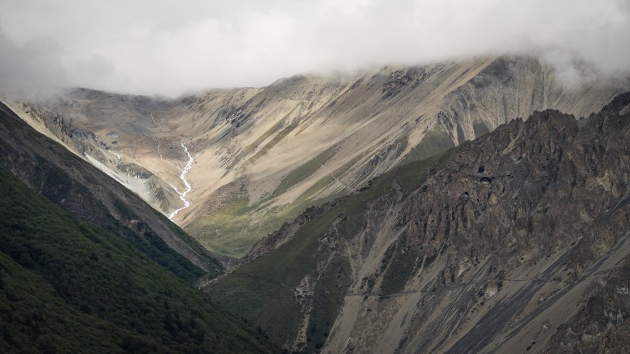
We came upon the incongruous Thare Gompa
about two kilometres in and the path wound its way up the steep slopes right after. Looking ahead, Shree Kharka
(
elevation : 4070 m) could be seen in the distance, and looking back, was the treeline that flanked the dense pine forests on the other side of the valley. The trail climbed all the way up to the junction (2.4 km mark) that branched off to the right to Yak Kharka
(
elevation : 4018 m). We continued left however, past the bridge and the waterfall, and on to the hamlet of Shree Kharka.