


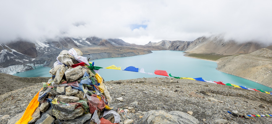

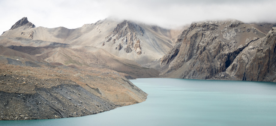


ACT Day 09 - Khangsar to Tilicho Base Camp
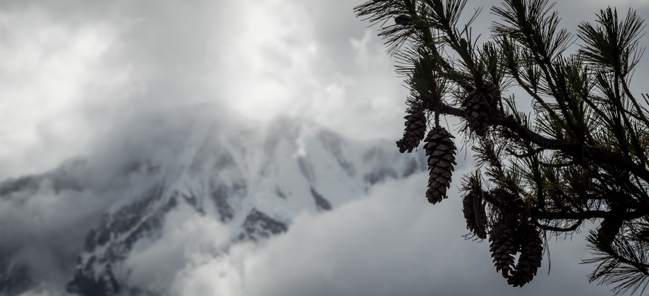
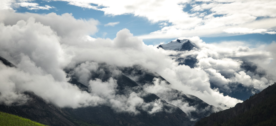
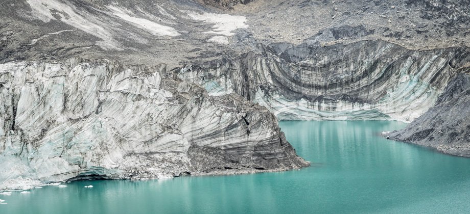
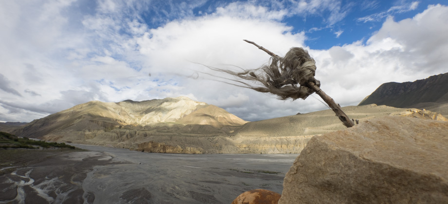
Otherworldly
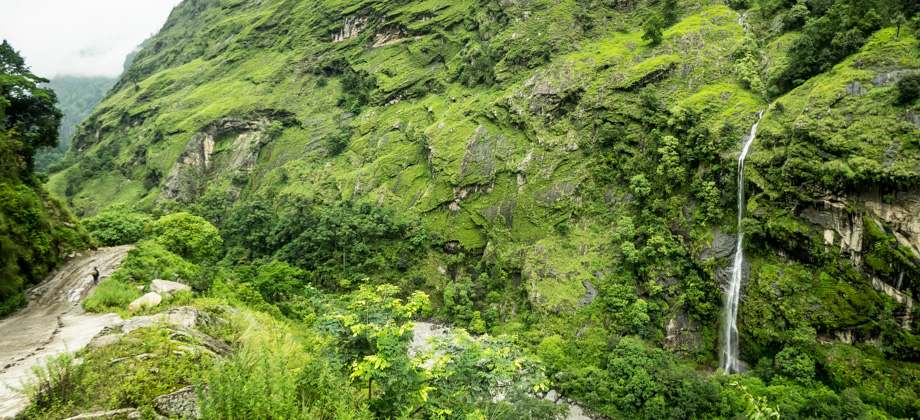
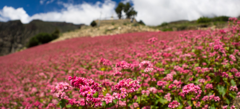
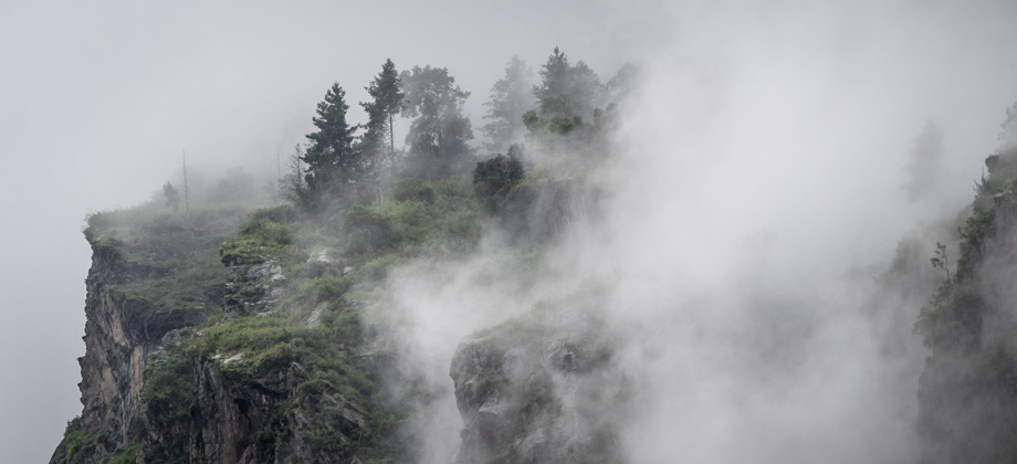
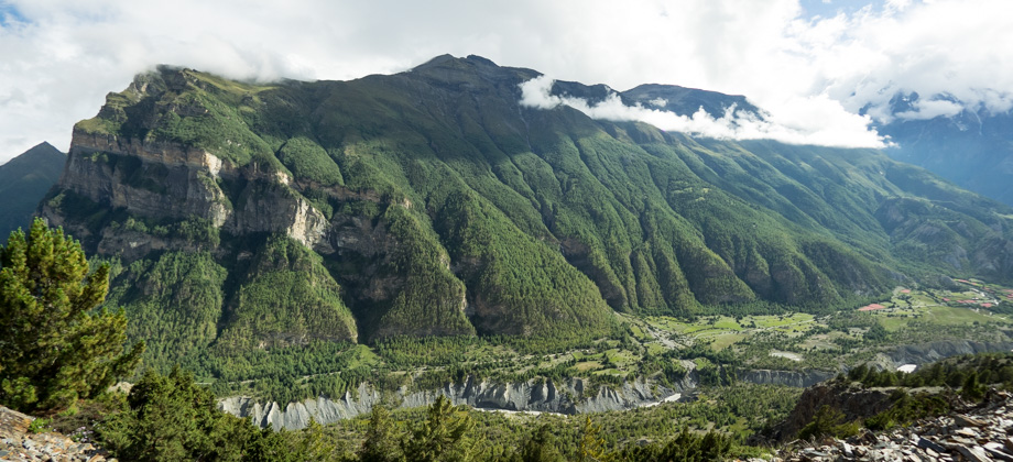
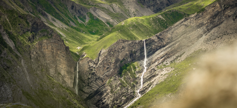
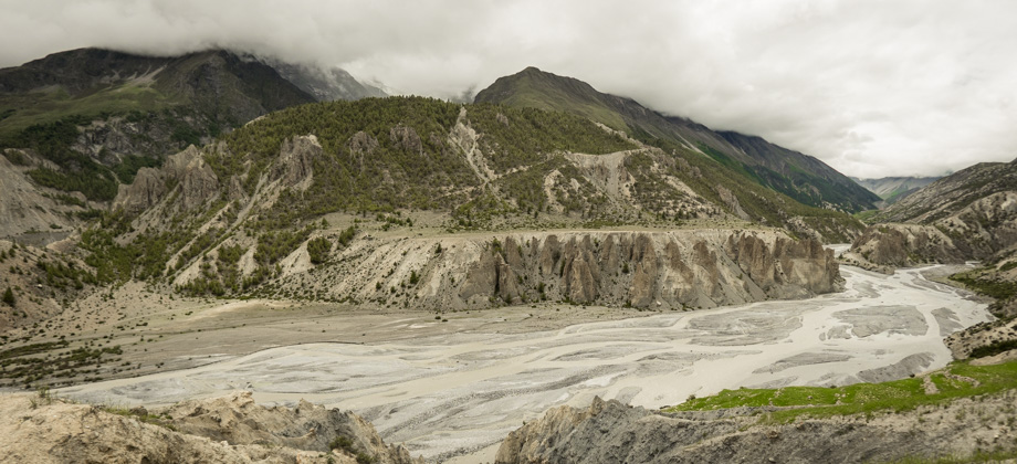
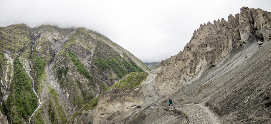
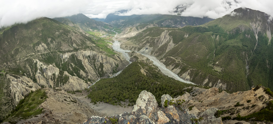
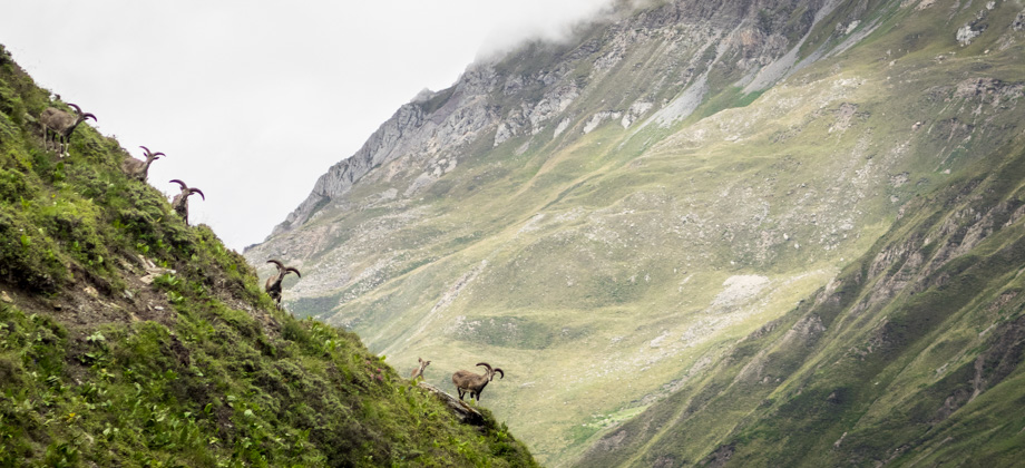
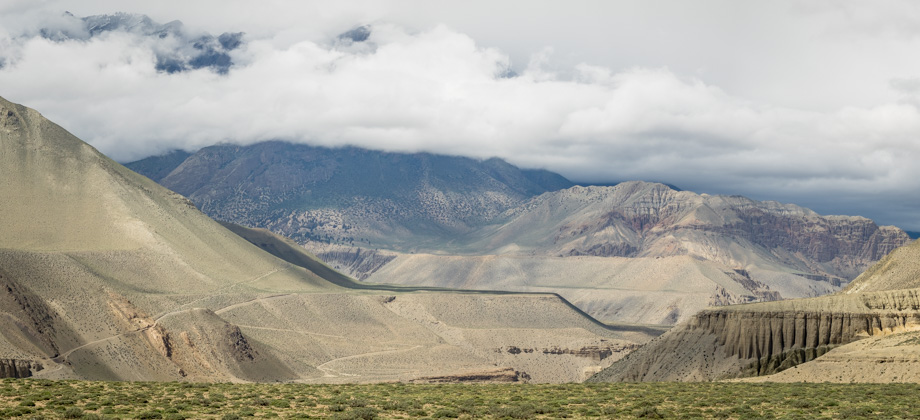
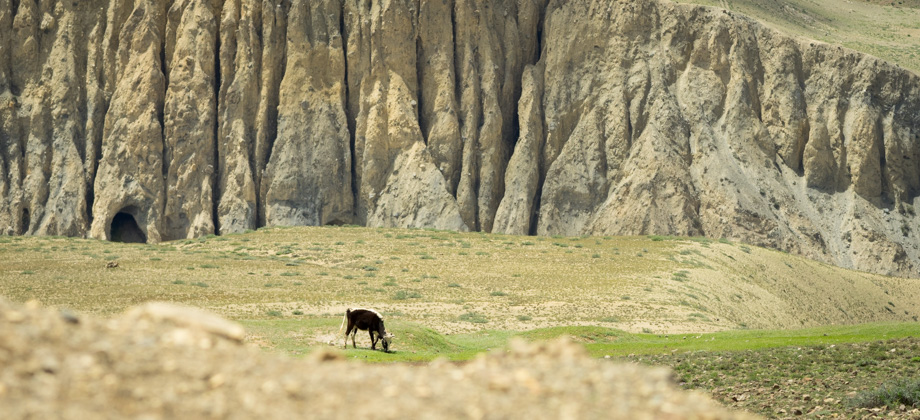
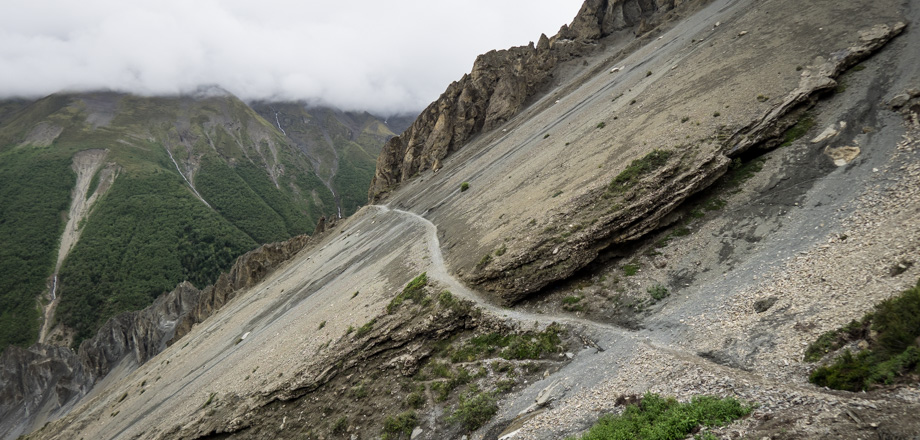
The view was particularly good just after Shree Kharka, so we stopped to cook an early lunch which consisted of chicken soup and oatmeal. Up above, huge groups of alpine choughs (Pyrrhocorax graculus) circled around in bird whirlwinds whilst pairs of eagles rode the thermal currents. We continued on at 12:00, and followed the trail to a suspension bridge before it zig-zagged up the slopes and over to the other side of the shoulder. We crossed two waterfalls approximately five kilometres in and saw numerous other ones from across the valley--at one point we counted six waterfalls that were all within view at the same time! The landslide-prone area began half a kilometre later. Up until then, the trail had been fringed with flowers and alpine shrubbery, but the terrain had now dramatically changed*. Jagged pinnacles emerged from the surface and out into the air, their silhouettes tracing sharp outlines against the sky; crumbly and slippery 45-degree slopes that dropped off to the left, the slightest misstep on the half-a-metre-wide path sending pebbles and rocks sliding down the slopes; all of which were covered by an otherworldly terrain that was terribly desolate and barren. After a kilometre we reached a patch of green and a signpost indicating that the area was landslide-prone, but was meant for those walking in the other direction. As such, I thought that the surroundings would return to flowers and alpine shrubbery, but I soon found out that it was to last all the way to Tilicho Base Camp. * Other online entries make it seem as if this area is either extremely hazardous, very strenuous, or quite technical. These are exaggerations and sensationalisations, so please do not be discouraged. As long as you stay on the path, watch your step, and no landslides occur, you should be fine.
360 Panorama
Route Playback
Suunto Movescount Stats
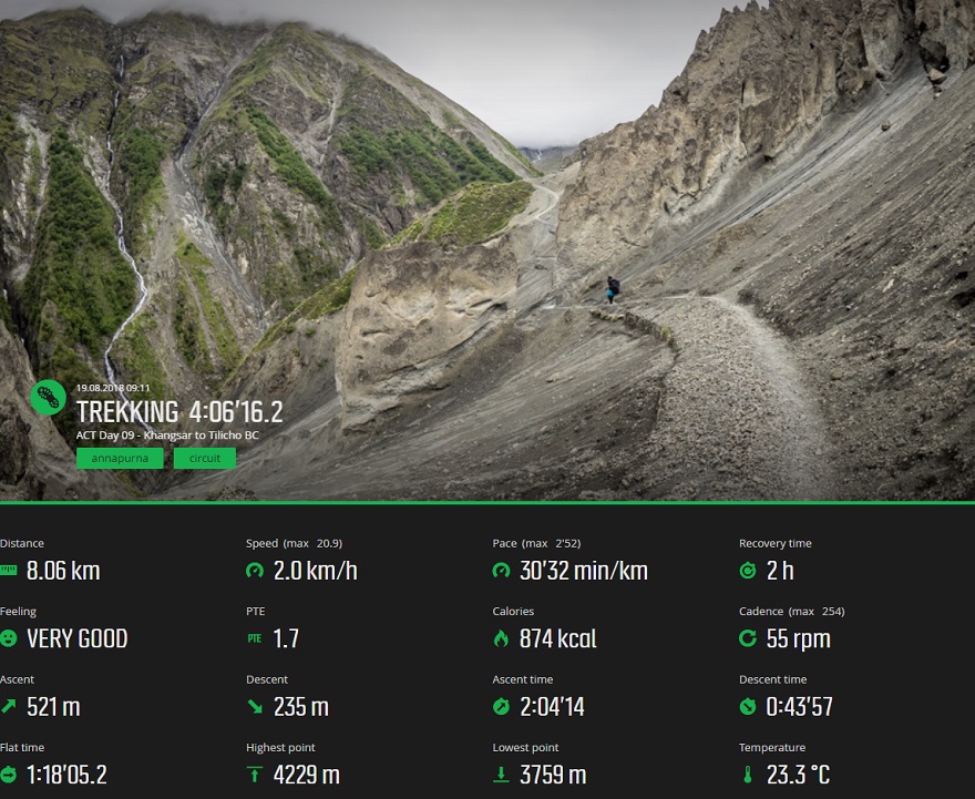

Day 9 Expenditure


