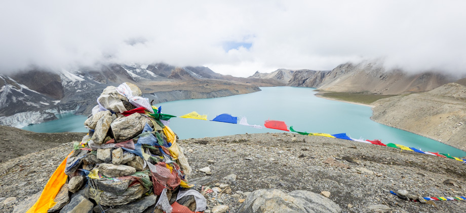
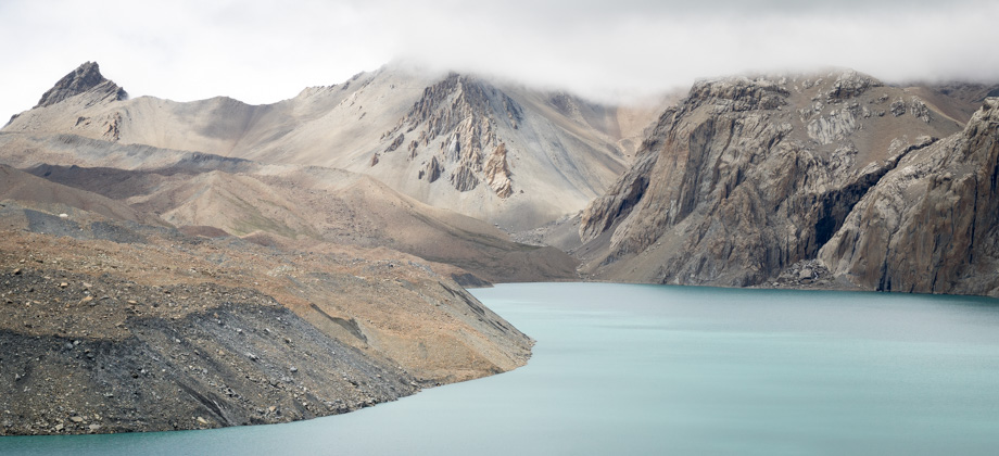
ACT Day 10 - Tilicho Lake
The Ridge

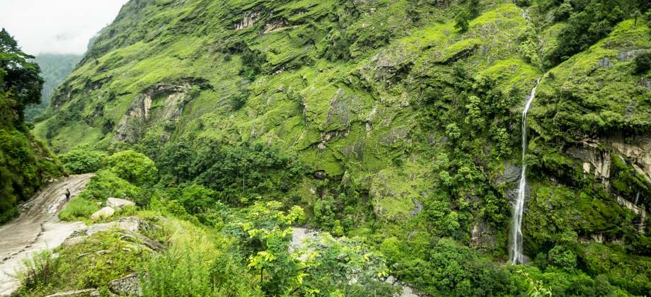
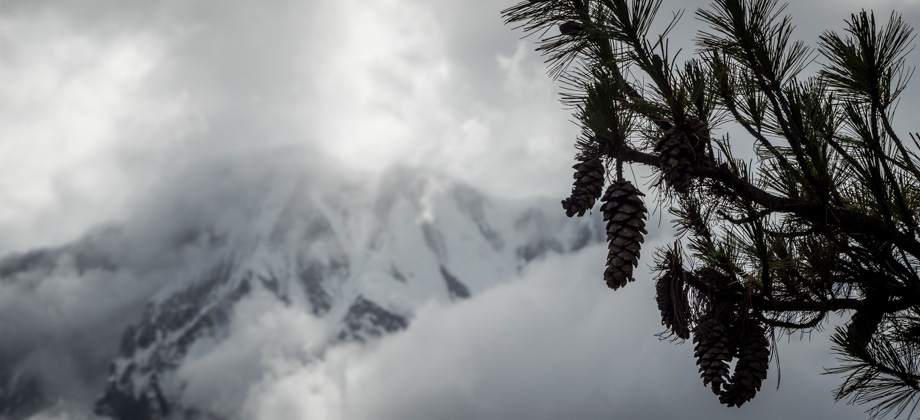
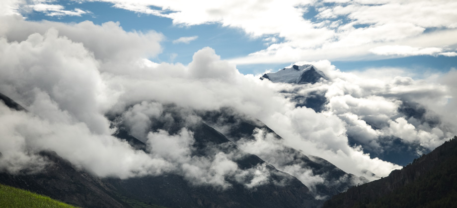
The mist that was interspersed with bouts of drizzle permeated the morning air. We had a lot of time to play around with that day and so decided to wait until the drizzle ceased before beginning the hike to Tilicho Lake

(
elevation : 4920 m). As such, we leisurely ate breakfast, which was jam (
NPR105/2) and pancake (
NPR280/2) that had been deep fried for some reason. We also ordered Tibetan bread (
NPR305/2) to take-away for lunch later on. By the time we set foot on the trail that began just behind our guesthouse, 'Hotel Kangsar Kang', it was already past 09:00.
The trail from Tilicho Base Camp
(
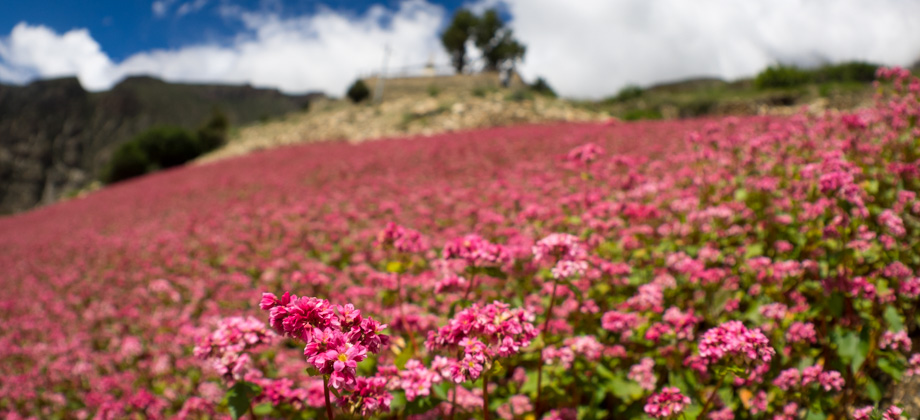
elevation : 4150 m) was quite wide and was very easy to follow. It first led up to a river that was spanned by a small wooden bridge and then zig-zagged up the slopes via a series of four switchbacks. The flower theme for the day seemed to be yellow: conventional flora such as the stalks of the sunflower-like
Cremanthodium ellisii and bushes of cinquefoils
(Potentilla cuneata) were scattered around the sides of the trail, but so too were atypical flora like woolly saw-worts
(Saussurea spp.) and Scully's louseworts
(Pedicularis scullyana).
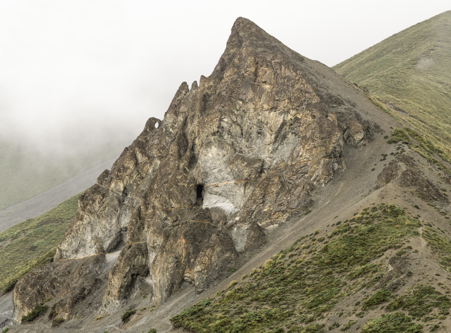 The pyramid peak
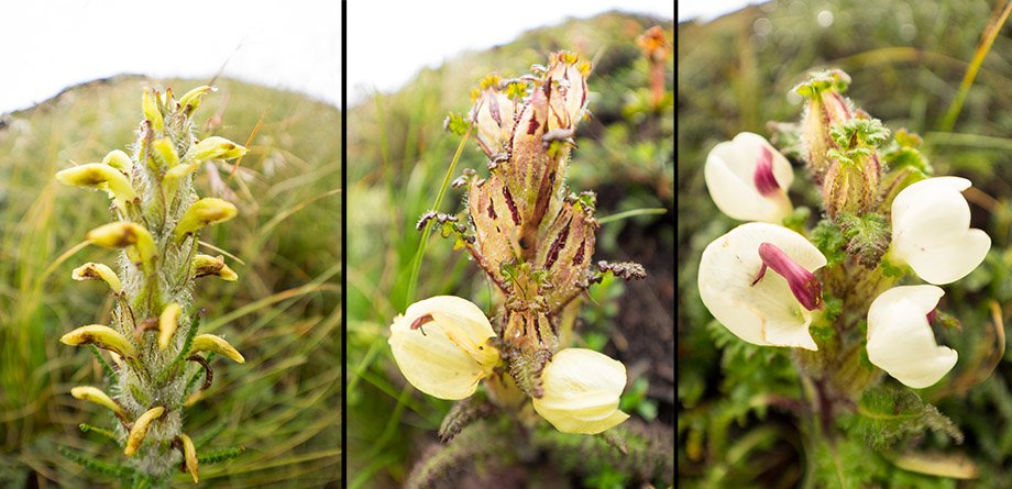 Phases of Scully's lousewort (Pedicularis scullyana)
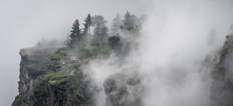
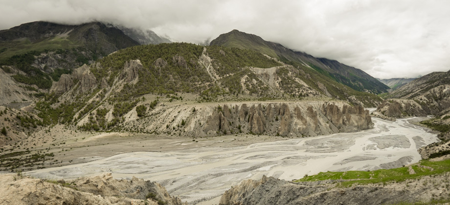
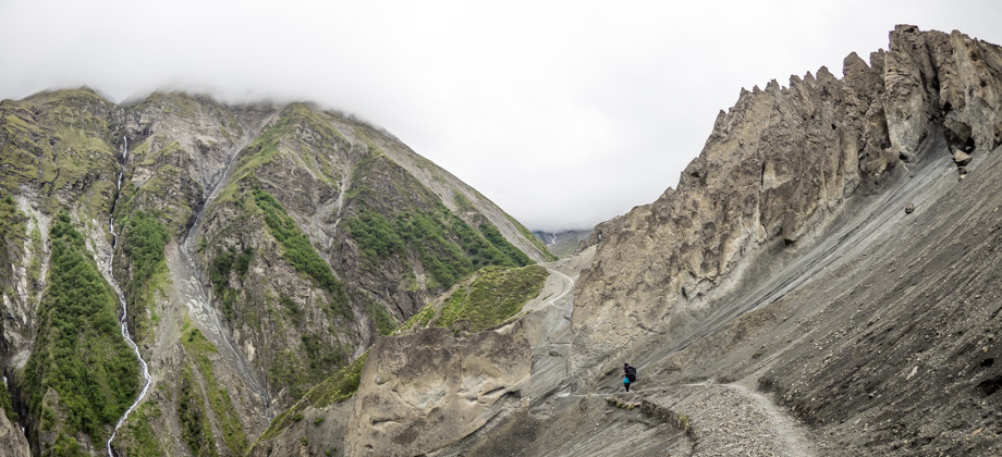
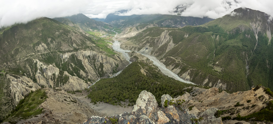
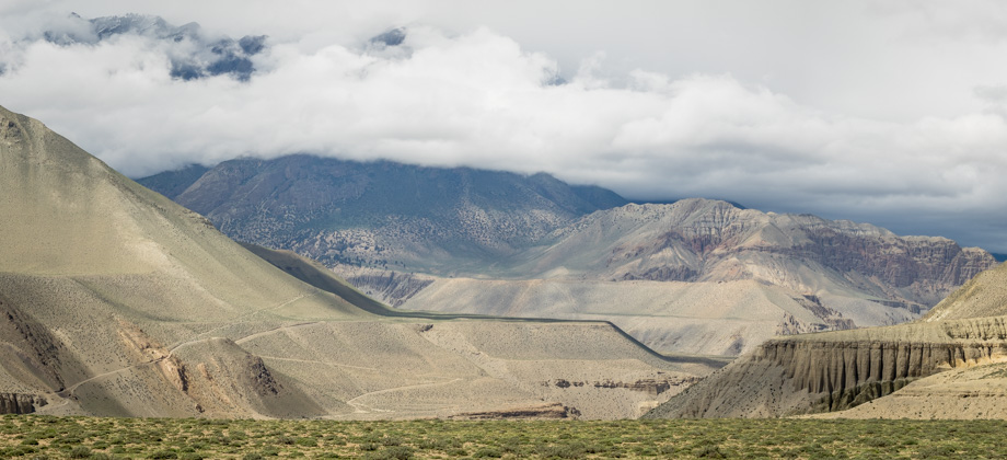
A huge pyramid peak that seemed to block the way to the lake appeared to the west just as we rounded the ridge. From that point, turning left in the opposite direction from the lake and walking just ahead brought us to a little rise on the edge of the ridge. There was quite a view here and we were able to see down into the crumbly pinnacles that were located just below us. Over the pinnacles and on the other side of the valley to the east, a switch-backing route could also clearly be seen that cut through the volcanic-like sand, and its direction meant that it could only lead to the top of the col, which was almost 5000 metres in elevation.
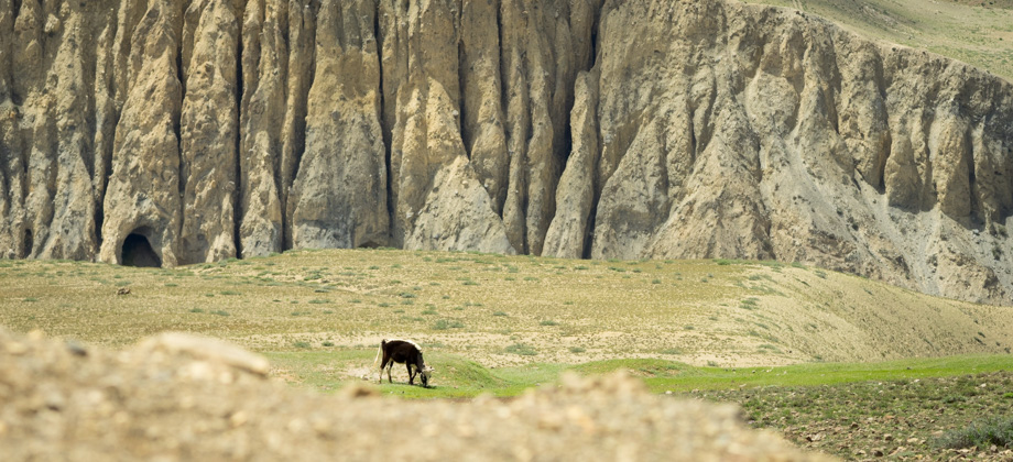
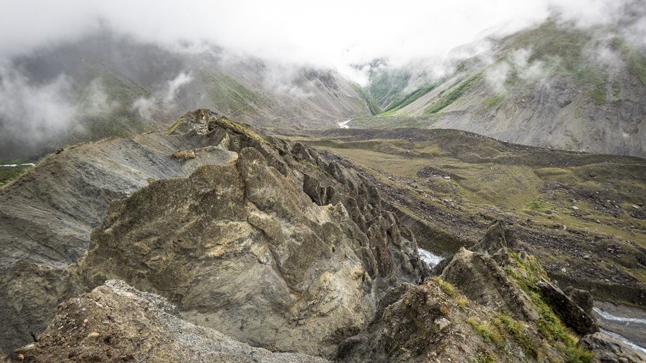 On top of the pinnacles on the ridge above Tilicho Base Camp
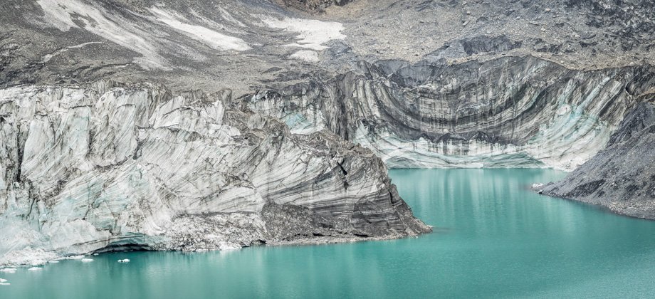
After a while, we turned back around and began our approach to the pyramid peak. The trail dropped down the slopes slightly in order to pass under the base of the pyramid, but then continued to climb gently from there. Bumblebees
(Bombus sp.) buzzed around between the plentiful stalks of
Pterocephalus hookeri and birds flitted around from bush to bush--every single one of them issuing warning chirps as we approached. We passed a large lateral moraine on our left that had been heaped up by the tongue of the Khangsar Glacier long ago, the terminus of which had since receded further up the valley. The terminus had left a river that channeled the melt-water of the Khangsar Glacier down to the Marsyangdi Nadi in its place. The mist had been clearing fairly steadily since we started walking, and as it wafted above the desolate terrain to our right, it seemed almost as if it were seeping up from below the ground.
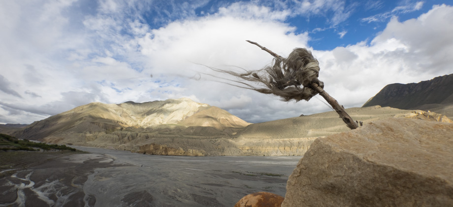
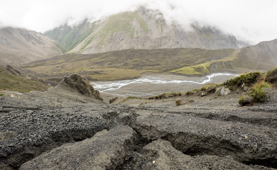 Meandering meltwater