Western Arthurs Day 10 : To Wullyawa Creek
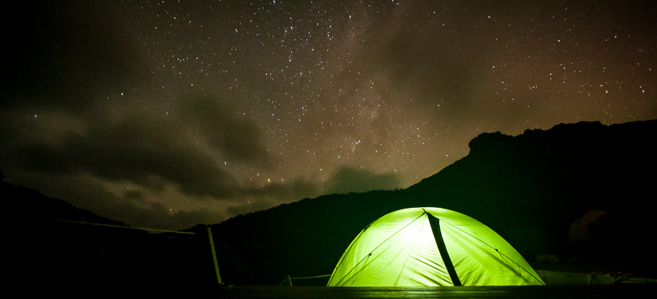
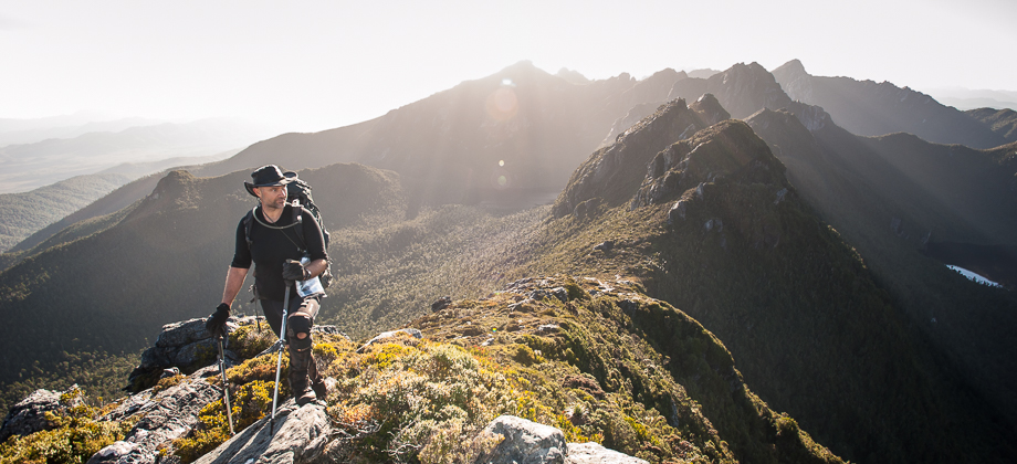
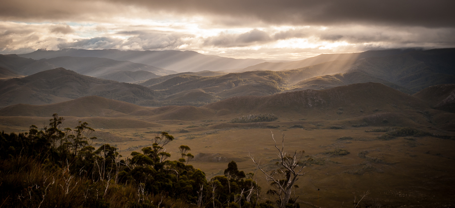
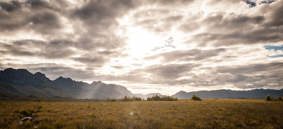
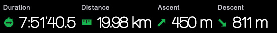
Crepuscular Rays
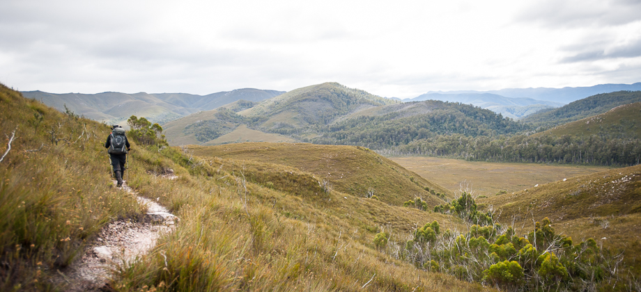
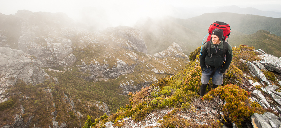
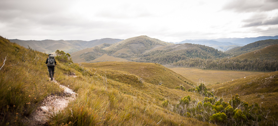
Today was going to be a long day. We had twenty kilometres to cover, a distance that was definitely manageable, but was considered long compared to the average daily distances that we had covered over the previous week. I was already a little weary by then but the fact that the walk was mainly downhill made me feel a lot better about the task up ahead.
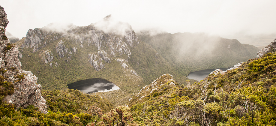
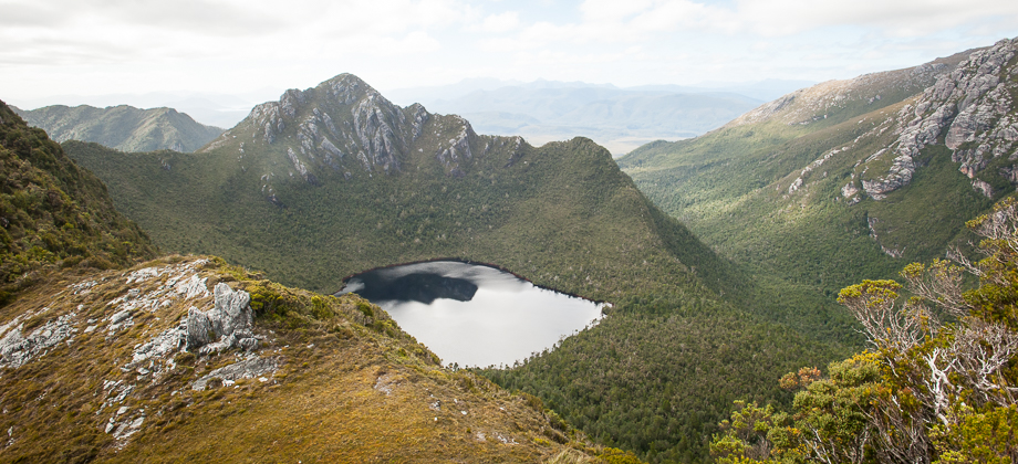
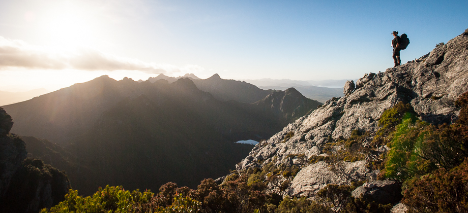
We started off early and after packing up camp, we made our way back up to the moraine that lay on the east side of Lake Rosanne. Once we reached the top, we were greeted by magnificent views of the early morning light shining through gaps in the heavy cloud-cover, lighting up the bleak landscape in bright patches. The crepuscular rays shimmered and danced as the clouds moved across the sky, their parallel rays of light seemingly converging due to the perspective effect.
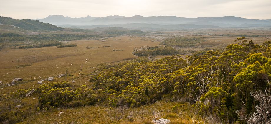
Feeling rejuvenated, we turned northwards and began our descent along the moraine. The trail pushed through thick patches of grass trees
(Xanthorrhoea australis) before crossing Lake Rosanne's outlet creek. The track then turned right and made its way eastwards, before beginning to descend down the moraine towards the Arthur Plains down below. A light drizzle filled the air, so light that I had initially mistaken it for morning mist.
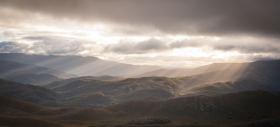
We continued downwards and towards a large grove of trees, but just before we came upon it, the trail veered off and around the grove. The crashing sounds of torrential water began to grow louder and louder, reaching their peak as the slopes began to give way to the flat plains. It took us approximately an hour of walking to reach this point.
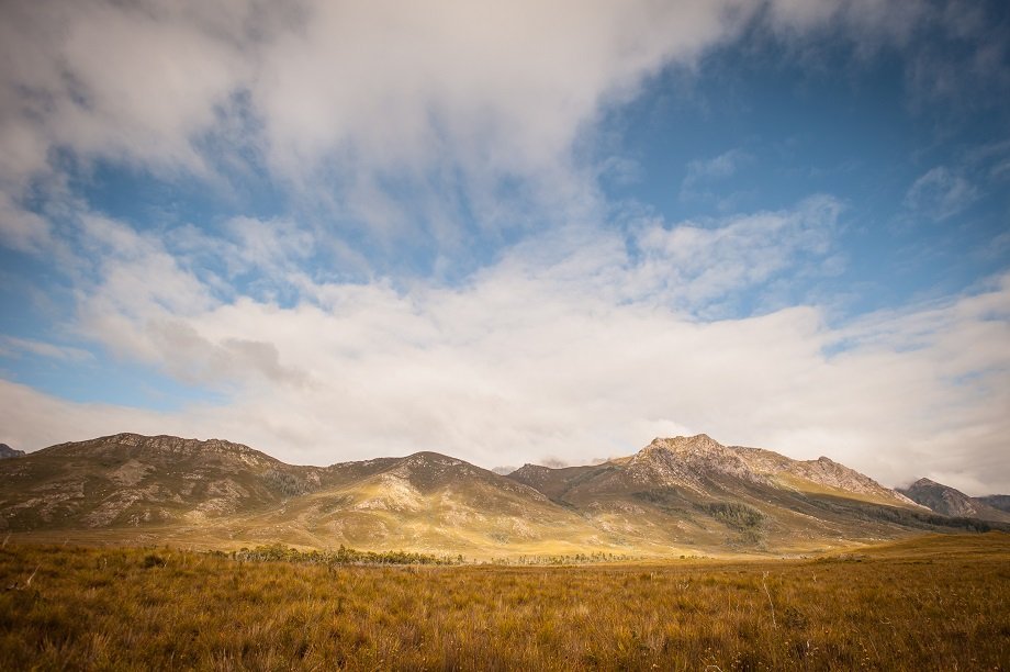
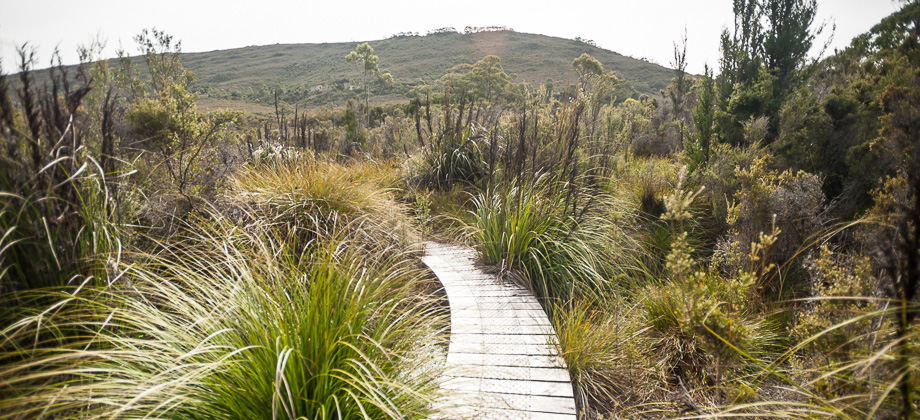
Back on the Plains

There was mud, and lots of it. Surrounding all this mud were holes that turned out to be the burrows of the Common Yabby
(Cherax destructor), a freshwater crustacean, that can lie dormant for years at a time in a state called 'aestivation'. The yabby enters this state in response to conditions that are very arid and hot, the reverse of hibernation of sorts.
We were hiking using compass bearings at this point as the track seemed to be all over the place, constantly disappearing and reappearing, so we just made our way directly across the plains, over two large rivers (the second being Strike Creek) and several streams before we ran into the track at the 4.2 km mark. We turned left to head northwards (southwards leads to Luckmans Lead), skimmed the edge of small forest patch on our left before dipping down to a small bridge. The track then began to climb up the hill, up and into one of the saddles of the Razorback, before continuing northwards around the hills, tracing the contours as it did so.
The track here seemed to differ from the one that was described by Chapman. Chapman's version veered north-east and through a marshy section of the plains before reaching Cracroft Crossing. We, on the other hand, followed a trail that made its way directly northward, a trail that was periodically broken up by mud, planks, and wooden bridges before making its way into a forest.
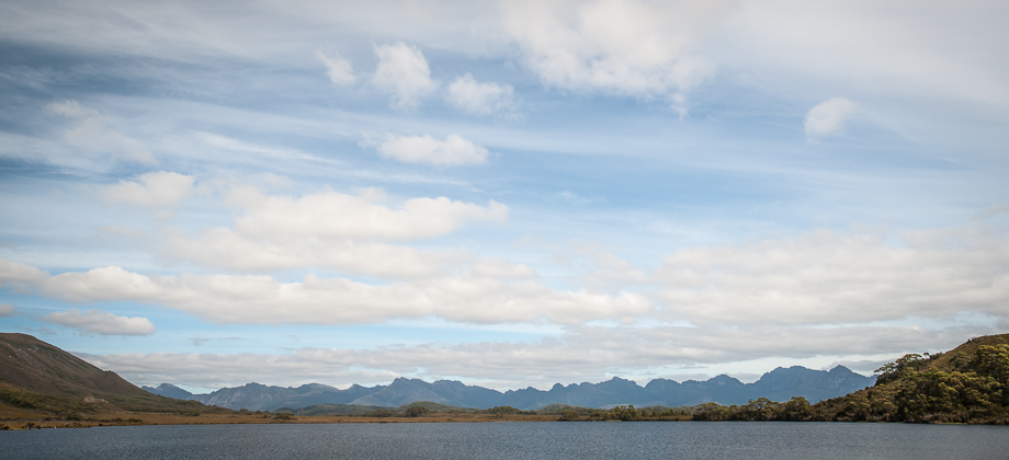
A junction was reached after four hours and 6.5 kilometres of walking. Here the path continued north-west, around the contours of the Razorback along McKays Track and towards Junction Creek. The gleaming white line that diverged to the right lead to Cracroft Crossing and on to the Huon Track.