


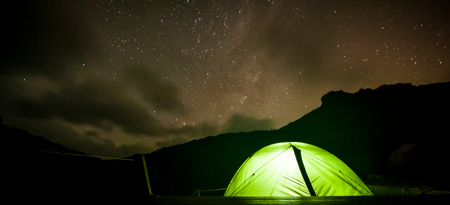


Western Arthurs Day 9 : To Lake Rosanne
Western Arthur Range Index
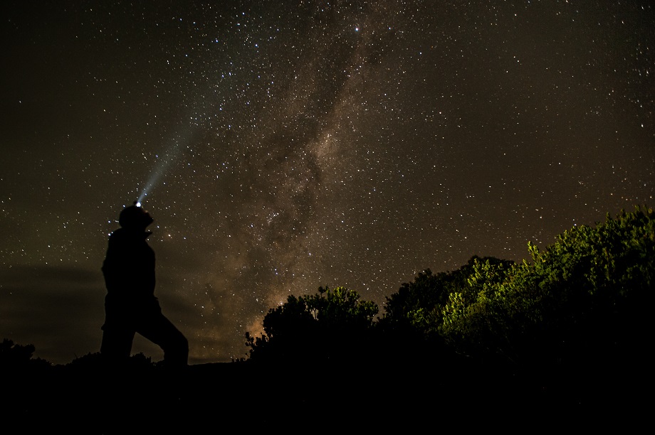
A Change of Plans

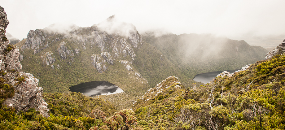
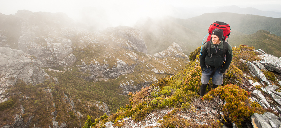
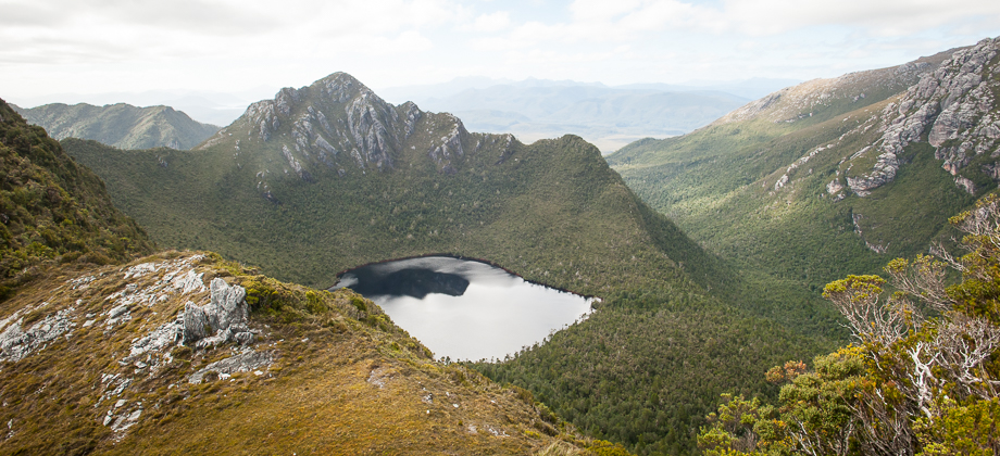
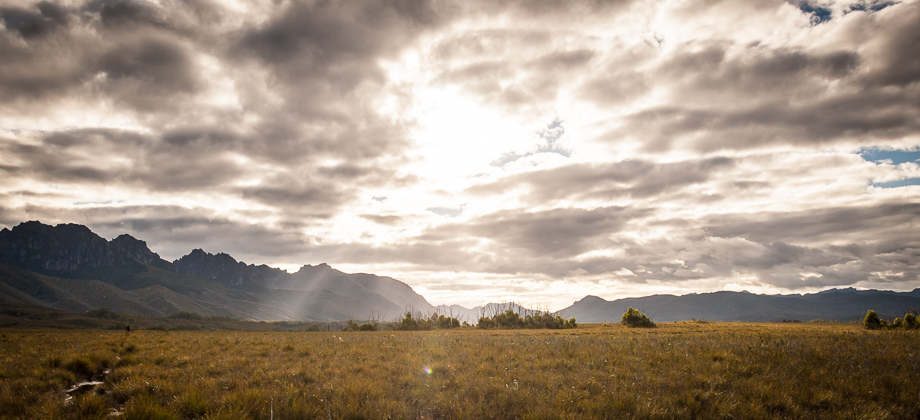
 It was now day 9 out of 11 and both of our contingency days had been spent stuck in our tents weathering out storms. The original plan had us walking from Promontory Lake to Lake Rosanne, then onward from Lake Rosanne to Scott’s Peak Dam over the next three days, camping at Cracroft Crossing and Junction Creek. But since the weather had cleared, Damon and I decided that we would compress that last three-day leg and push all the way through from Lake Rosanne in just two days, instead of being forced to pull out of the range via Kappa Moraine due to a lack of time.
Back on the Trail
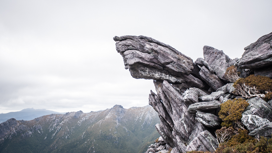
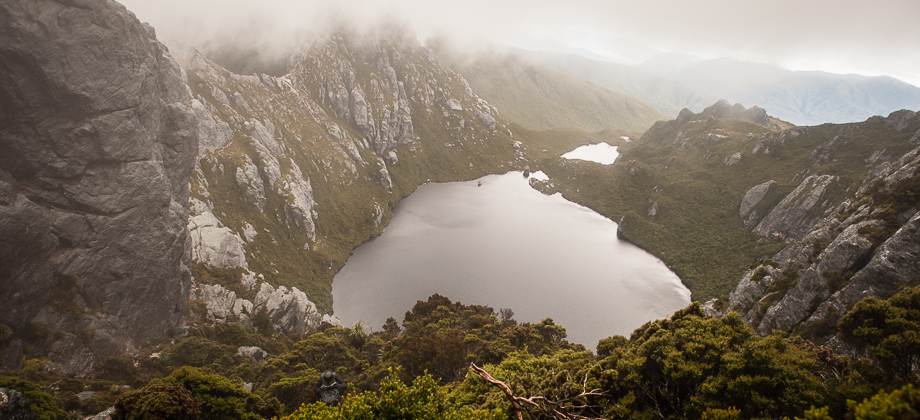
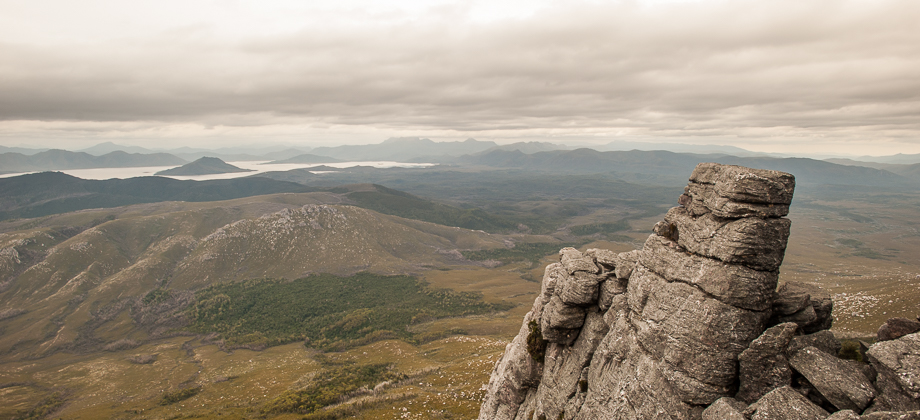
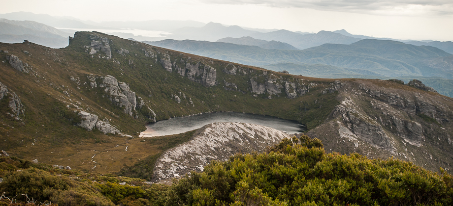
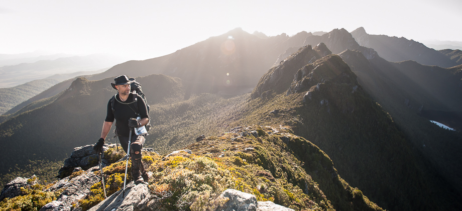
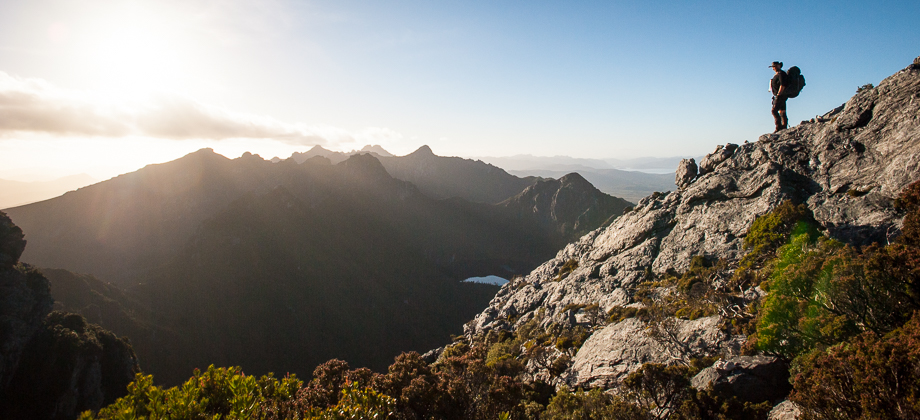
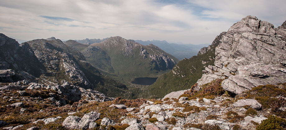
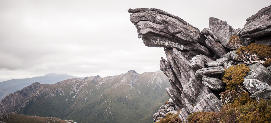
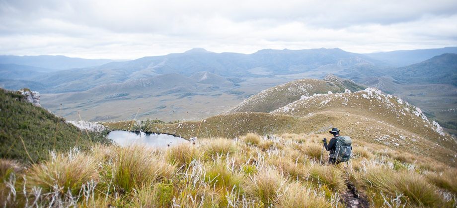
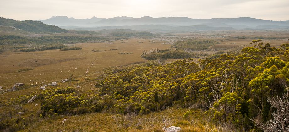
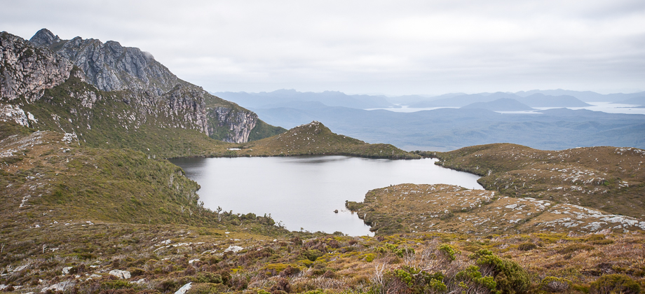
We climbed up from the south-east corner of Promontory Lake, where the campsite lay, heading south-easterly up the slopes in-between The Sculptor (elevation : 1004 m) and Carina Peak (elevation : 1008 m), then around the side of the Sculptor and on to the shoulder that lay just before The Pheonix. One can also veer east at the Sculptor instead and continue along the ridge for a kilometre or so to reach the peak of Mt. Canopus. The area was pretty overgrown, occasionally to the point where bush-bashing was required. There was no trail to follow and we had to walk from cairn to cairn visually, and oftentimes from clearing to clearing when no cairns could be seen. I made it a point to orientate the compass from feature to feature to ensure that we were indeed making our way south-east to the shoulder. From there we began the climb southward to the peak of the Pheonix (elevation : 1091 m) with a faint remnant of a trail appearing and disappearing every now and again.