Western Arthurs Day 7 : To Promontory Lake
Lakes Galore

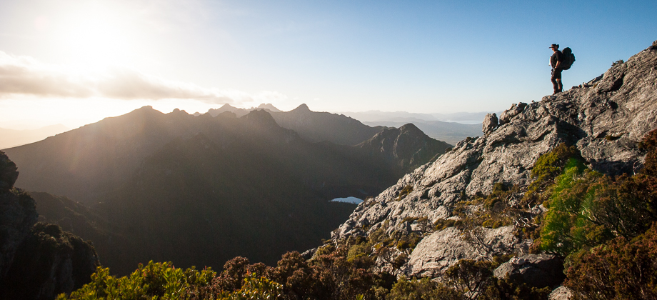
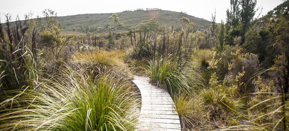
It was dawn of the seventh day and breaking camp had become an established routine - a change of clothes, some breakfast and coffee, and a visit to the privy before replenishing my water supply and packing my bag. Once I was ready to set off, I made my way along the trail and continued up the hill for approximately a hundred metres eastwards towards the viewpoint that was located on the saddle. I turned left here to continue along the main track instead of turning right, which would have taken me on the 2-3 hours return trip to the summit of Mt. Aldebaran (
elevation : 1107 m) and continued on past the magnificent views.
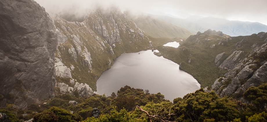
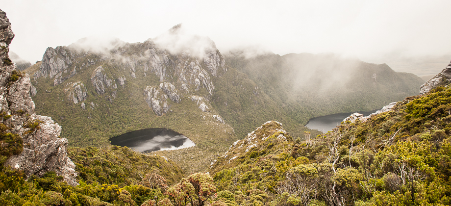
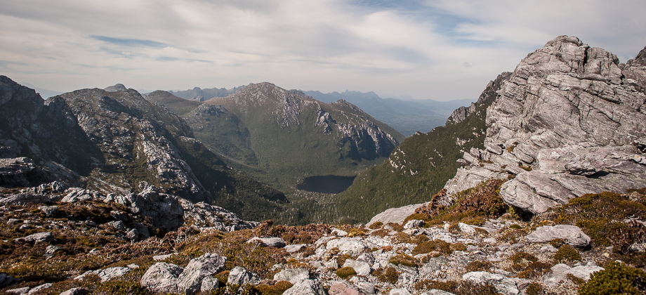
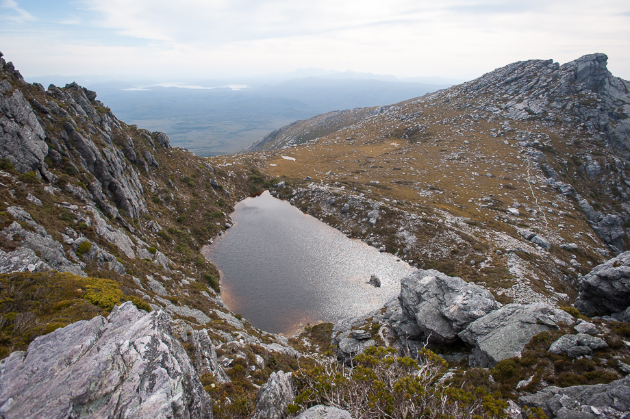
 Looking back to Haven Lake
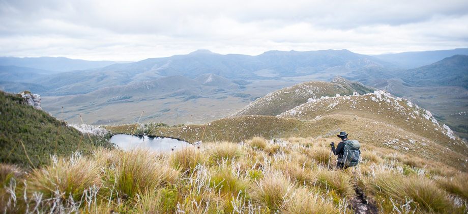
The peak on the left was skirted as we pushed through more vegetation, with the trail gradually making its way upwards and opening itself up to more spectacular views before descending down once again to another saddle. By now the sun was out and my body was soaking in the warmth of its rays. Seemed as though a few lizards had the same idea as they furtively skulked out from cracks in the rocks to bask in the sun. Thermoregulation like this helps to stimulate their metabolism and keeps their muscles limber for hunting or to escape predators. I eventually found myself climbing up to round a ridge just before Lake Sirona presented herself. The track could be easily seen disappearing off into the distance.
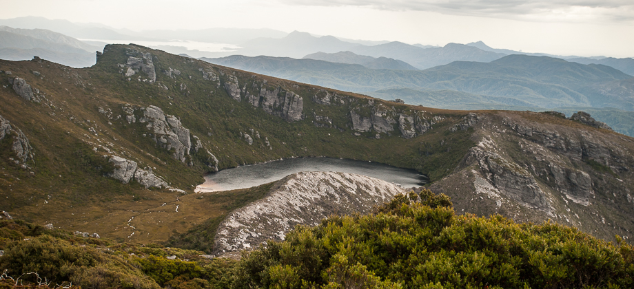
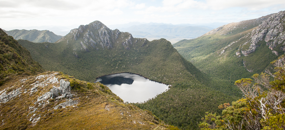
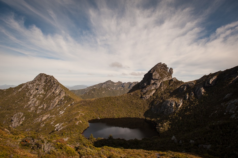
 Lake Sirona
The path continued along the ridge all the way to the edge with Lake Sirona just below, before descending vertically down the gully to the shores of the lake itself. We took care here with the down-climb, ensuring that our heavy backpacks wouldn't tip us over backwards. The trail continued north-east across and over to the broad moor with Lake Sirona on the left and Lake Mars far off on the right, leading gradually up towards the a boulder-filled area with the peak of Mt. Scorpio (
elevation : 1106 m) just beyond. Grasshoppers hopped across me and other insects buzzed around me as I made my way through the grass of the moor. As I made my way forwards, the grass lessened and the path began to rapidly thin as rocks began to take over once again, with quite a few of them topped with basking diurnal skinks
(Family: Scincidae).
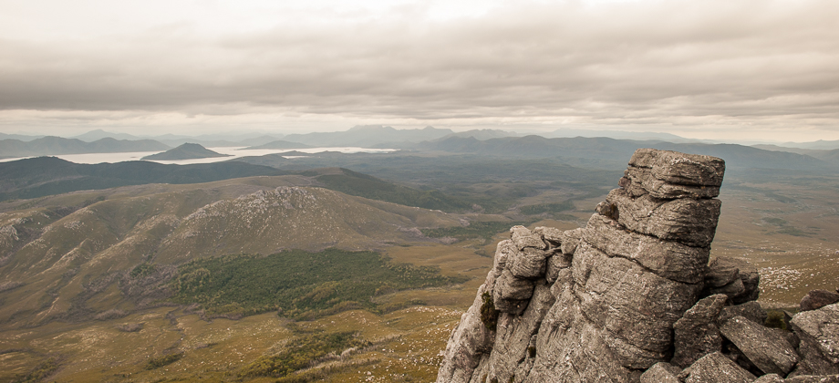
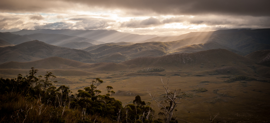
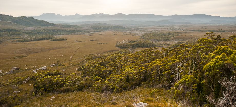
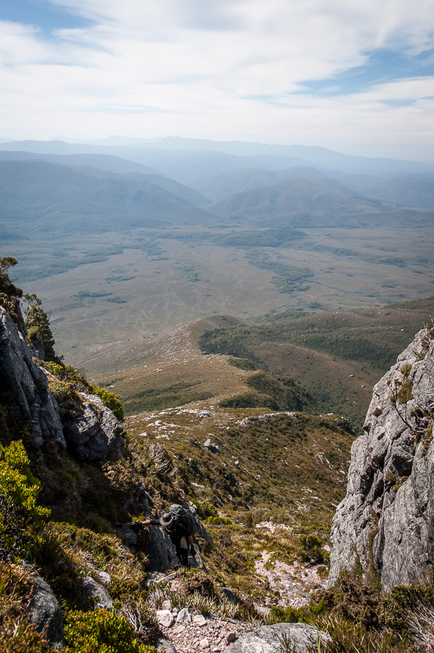
After sidling the summit of Mt. Scorpio, the path swung left to head northwards before continuing north-east down a gully. Here, the views of the open plains appeared ahead of me with the clearly visible track down Kappa moraine snaking its way down to the Arthur Plains below. Seeing the track leave the range brought in a twinge of sadness as I realised that the hike would eventually be coming to an end.
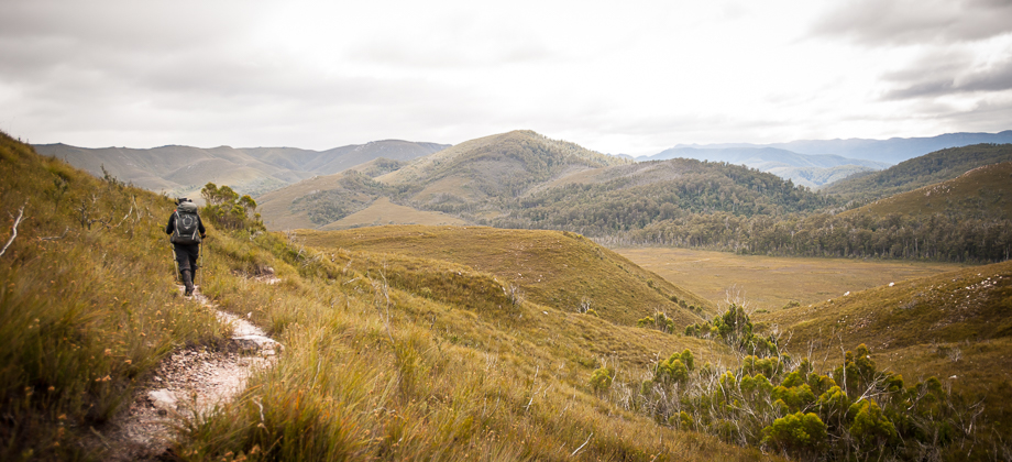
If you choose to continue left down Kappa moraine from the junction, following the trail for about five kilometres (under two hours) will bring you to Seven Mile Creek.
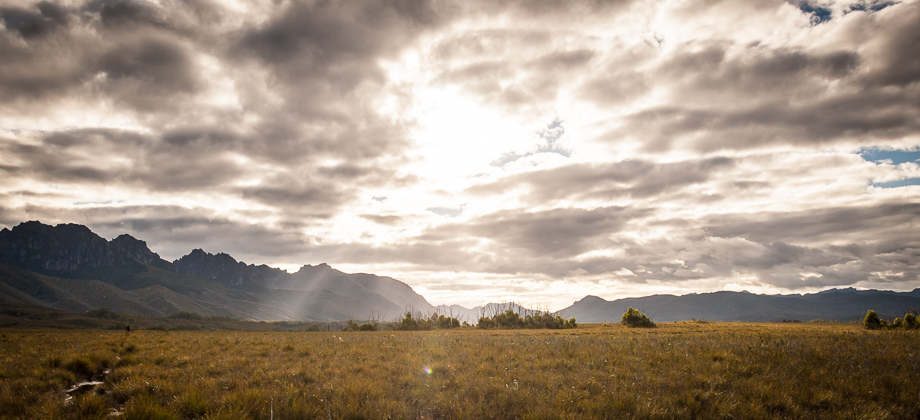
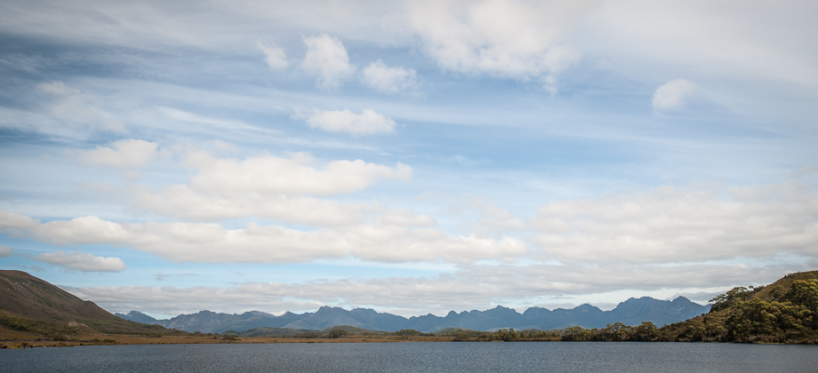
To the right, across to the east, the views of Lake Promontory off in the distance and Lake Juno nestled under the cliffs kept me entranced (Lake Vesta remained hidden). I was quite aware of the absolute size of each lake but the similarity of their apparent size created the strong illusion of them being a similar distance away, when in actual fact Promontory lake was so much bigger, higher and much further away. The stark contrast of the different shades of each lake was also extremely fascinating - the light blue water of Lake Promontory reflecting the sky and the dark, almost black water of Lake Juno darkened by the shadows of Carina Peak's (
elevation : 1008 m) north-western cliffs that lay just above.
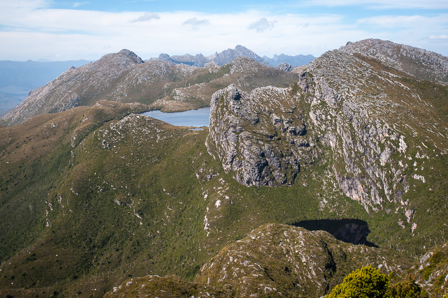 Lake Promontory and Lake Juno