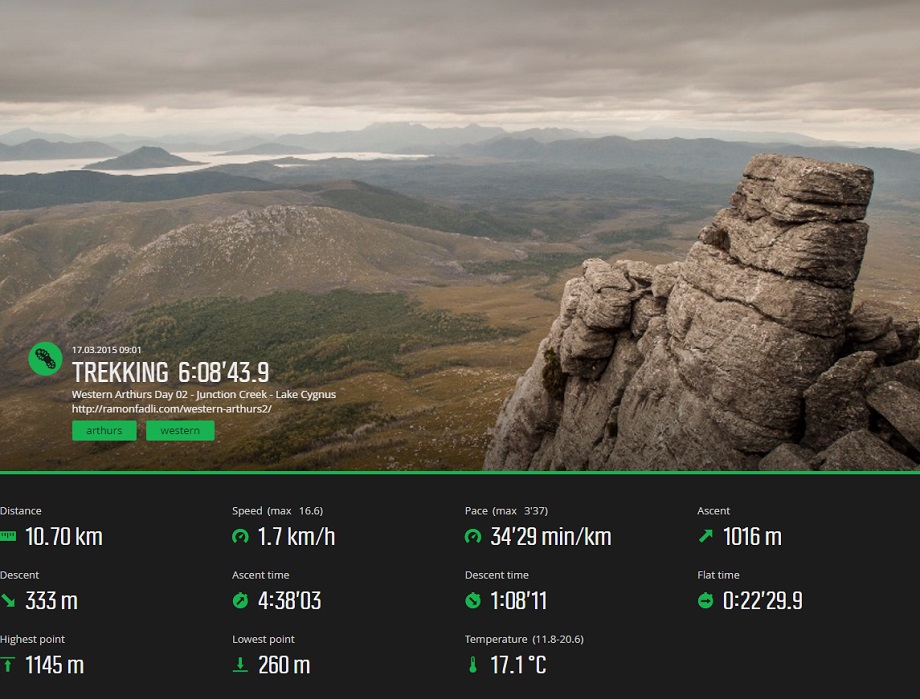


Western Arthurs Day 2 : To Lake Cygnus
Western Arthur Range Index
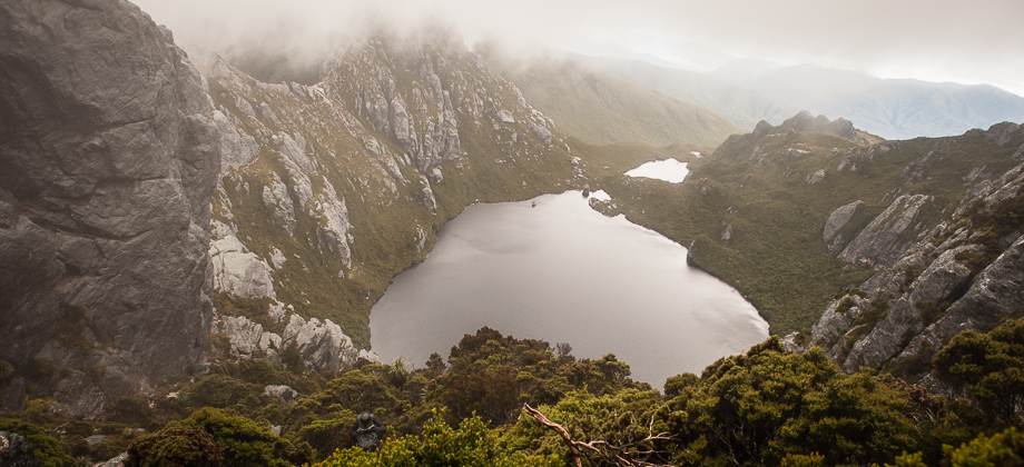
Down to Lake Cygnus
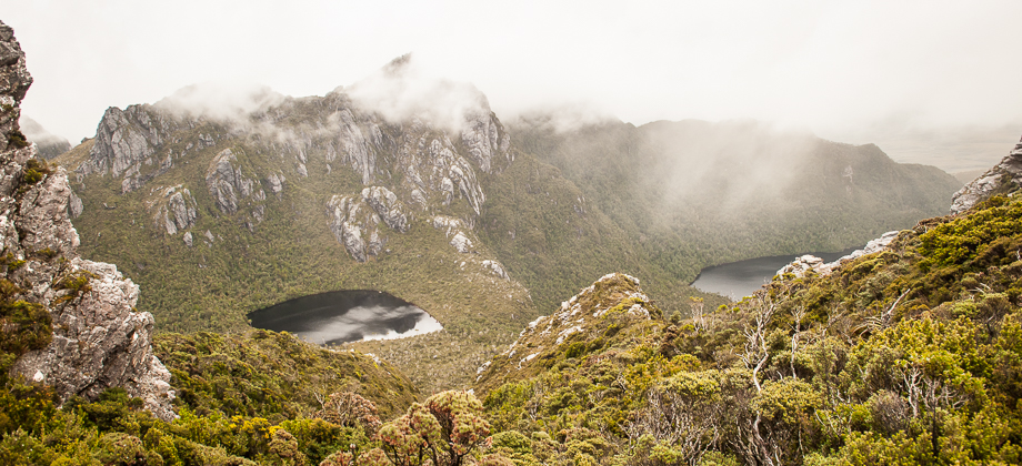
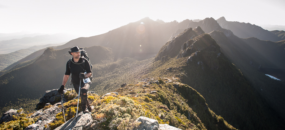
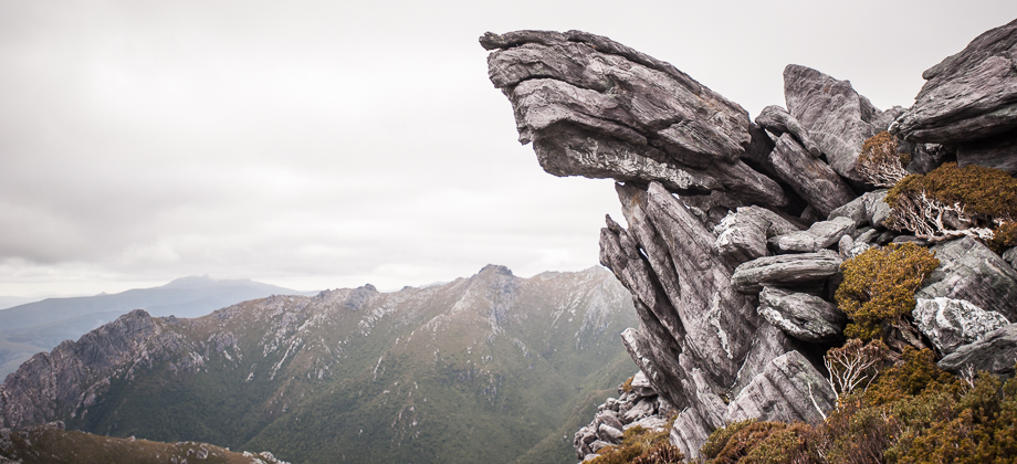
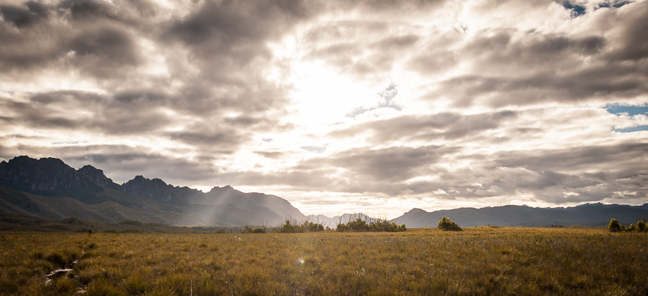
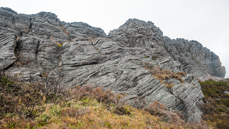
The path lead down and around huge banded rocks that were filled with wispy lines and patterns that wove their way through the rock, twisting and turning, even occasionally going vertical. I was left in awe at the geological power that would've been required to twist and mould those rocks. I glanced back at the violent, sharp shapes of the Capella Crags behind me as I rounded another hill before glimpsing Lake Cygnus below.
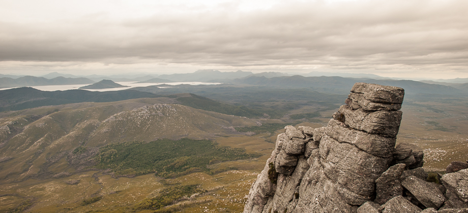
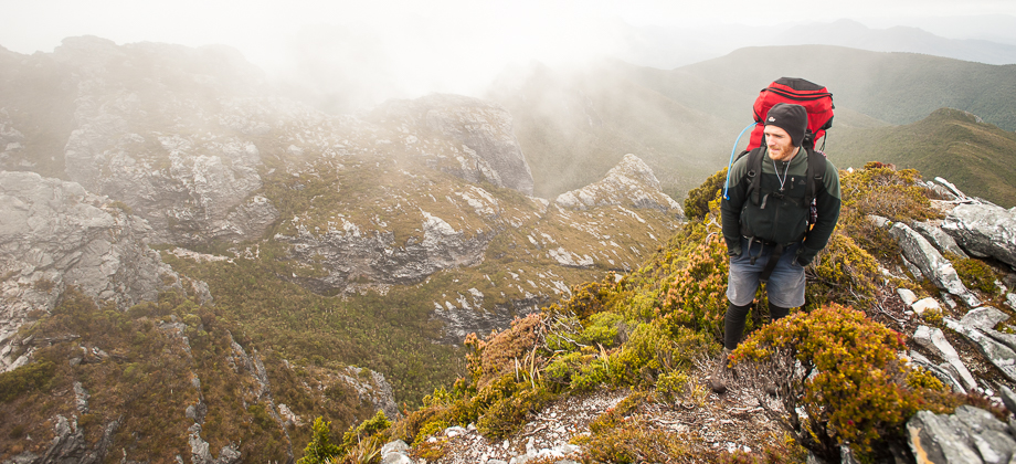
 The wind picked up again, violently buffeting us. I was forced to crouch and brace myself for a few seconds as each gust hit me, and was only able to continue on after easing into a slow, hunched-over diagonal walk, consciously trying hard to not get blown over. Rain pitter-pattered around us and clouds quickly began to waft in, rising up and over the range.
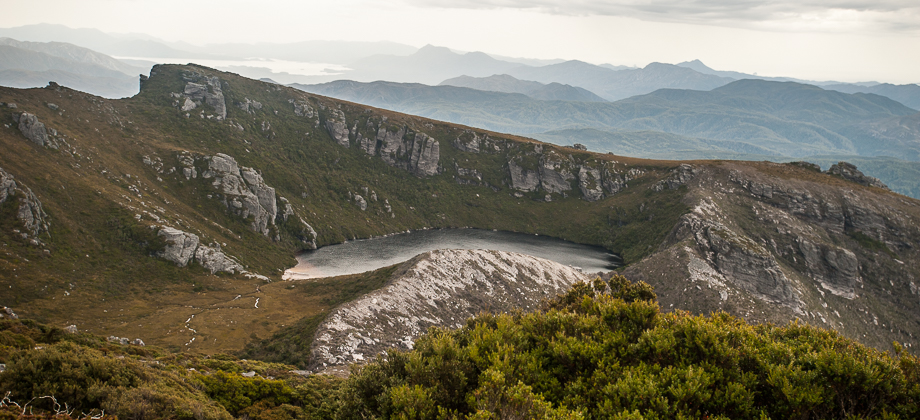
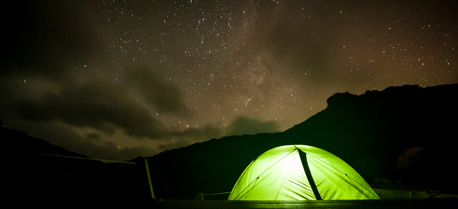
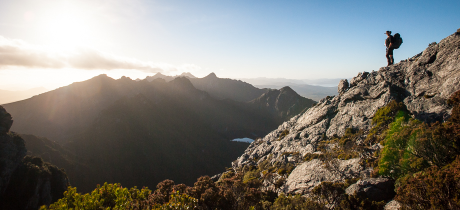
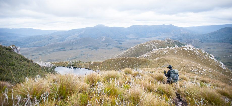
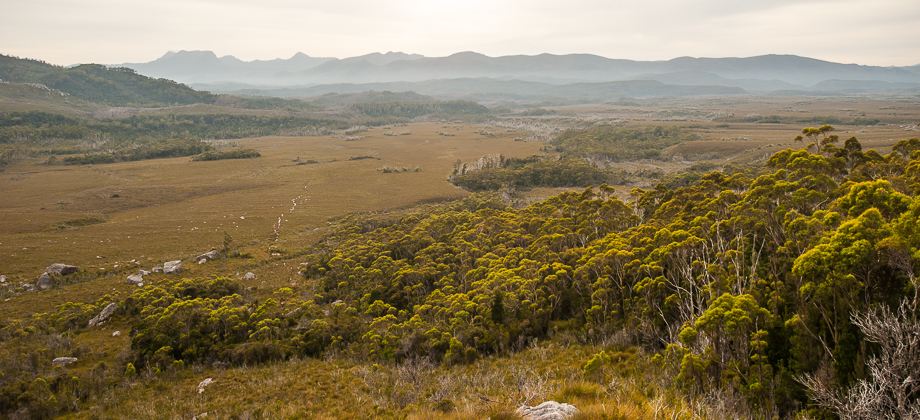
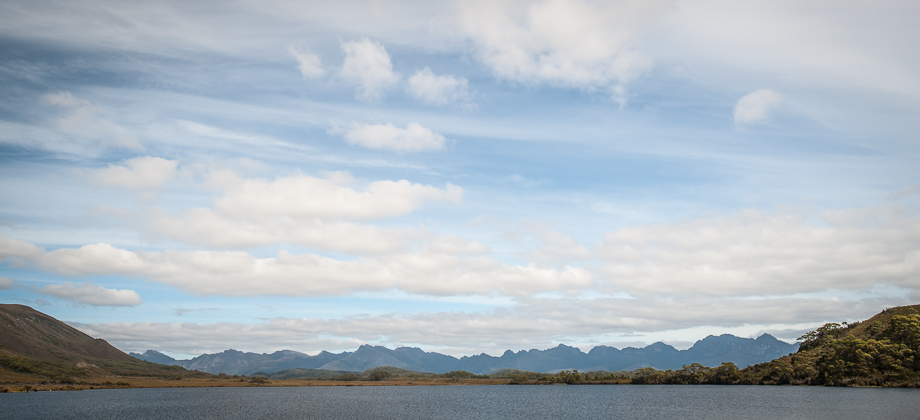
We reached the Lake Cygnus junction, with the main trail continuing left and the trail that lead down to the lake and the campsite branching off to the right. The Lake Cygnus campsite would have been a very nice campsite if not for the harsh weather, as it was nestled right next to the lake and surrounded by the violent, yet beautiful ridges that flanked the horizons.
The wind picked up again, violently buffeting us. I was forced to crouch and brace myself for a few seconds as each gust hit me, and was only able to continue on after easing into a slow, hunched-over diagonal walk, consciously trying hard to not get blown over. Rain pitter-pattered around us and clouds quickly began to waft in, rising up and over the range.
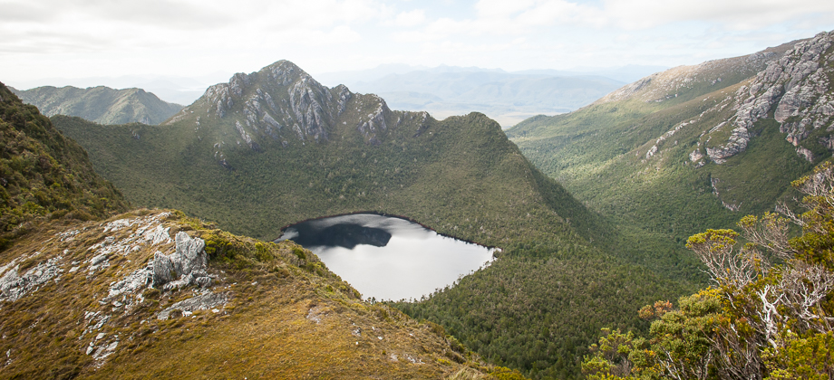
We reached the Lake Cygnus junction, with the main trail continuing left and the trail that lead down to the lake and the campsite branching off to the right. The Lake Cygnus campsite would have been a very nice campsite if not for the harsh weather, as it was nestled right next to the lake and surrounded by the violent, yet beautiful ridges that flanked the horizons.
Route Playback